
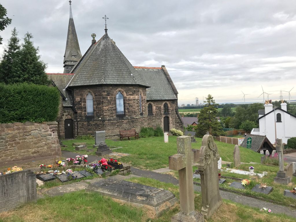
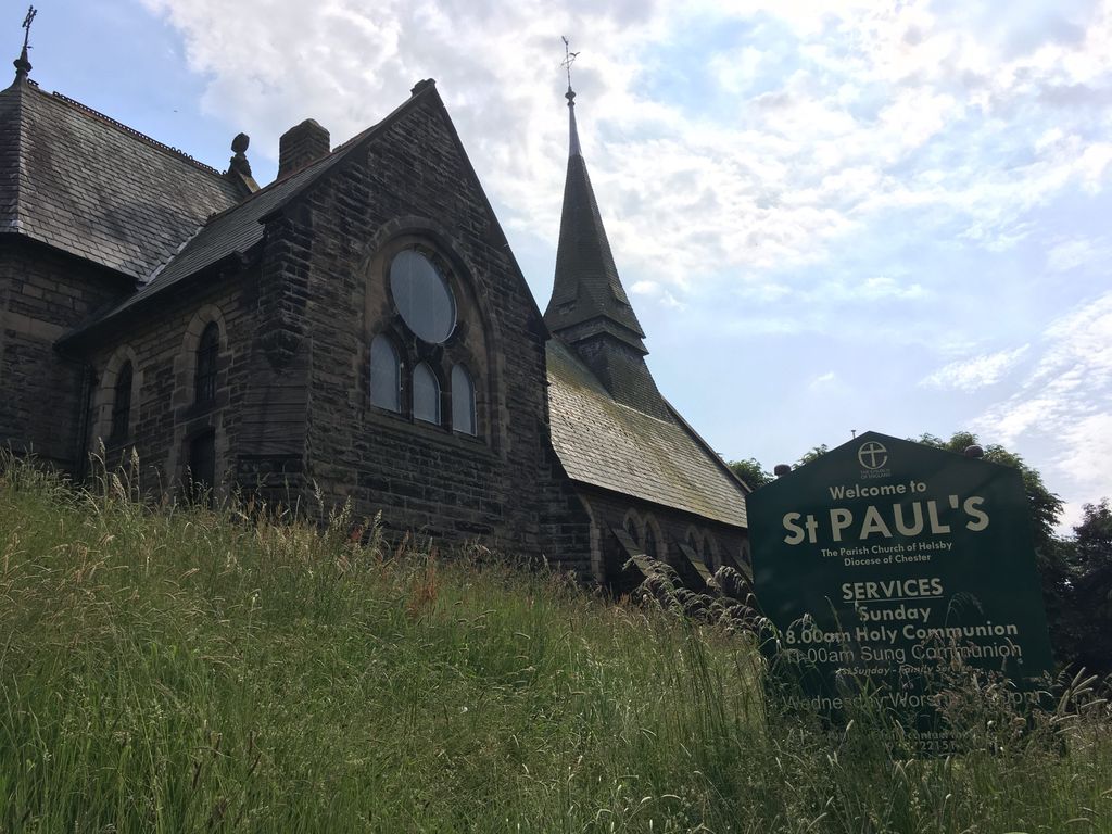
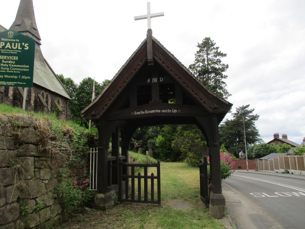
| Memorials | : | 0 |
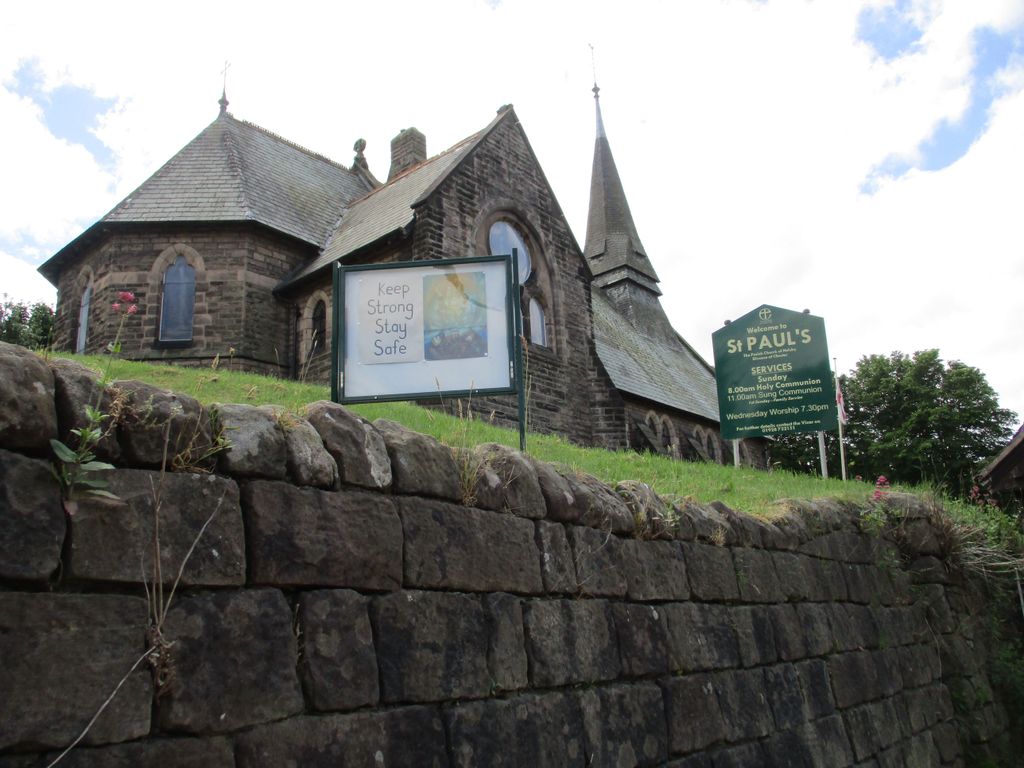
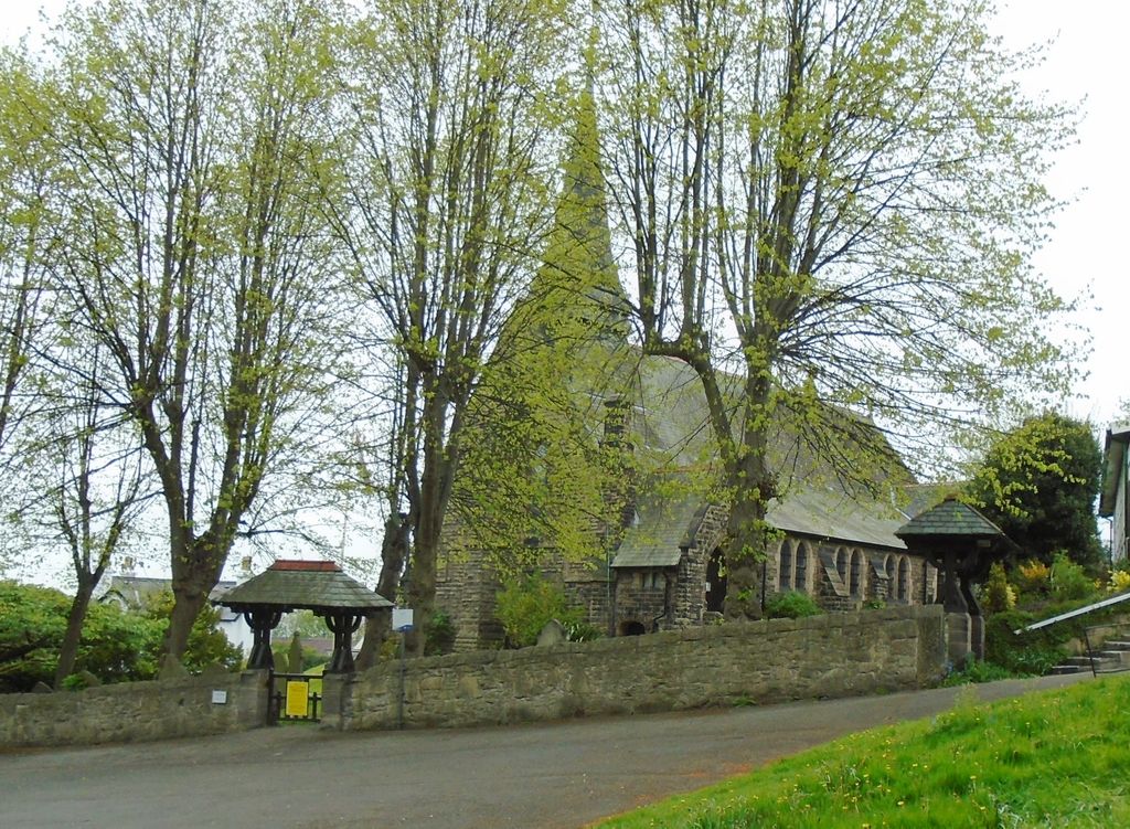
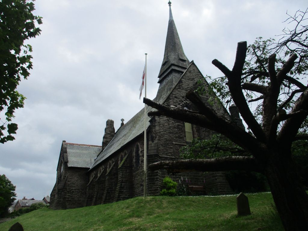
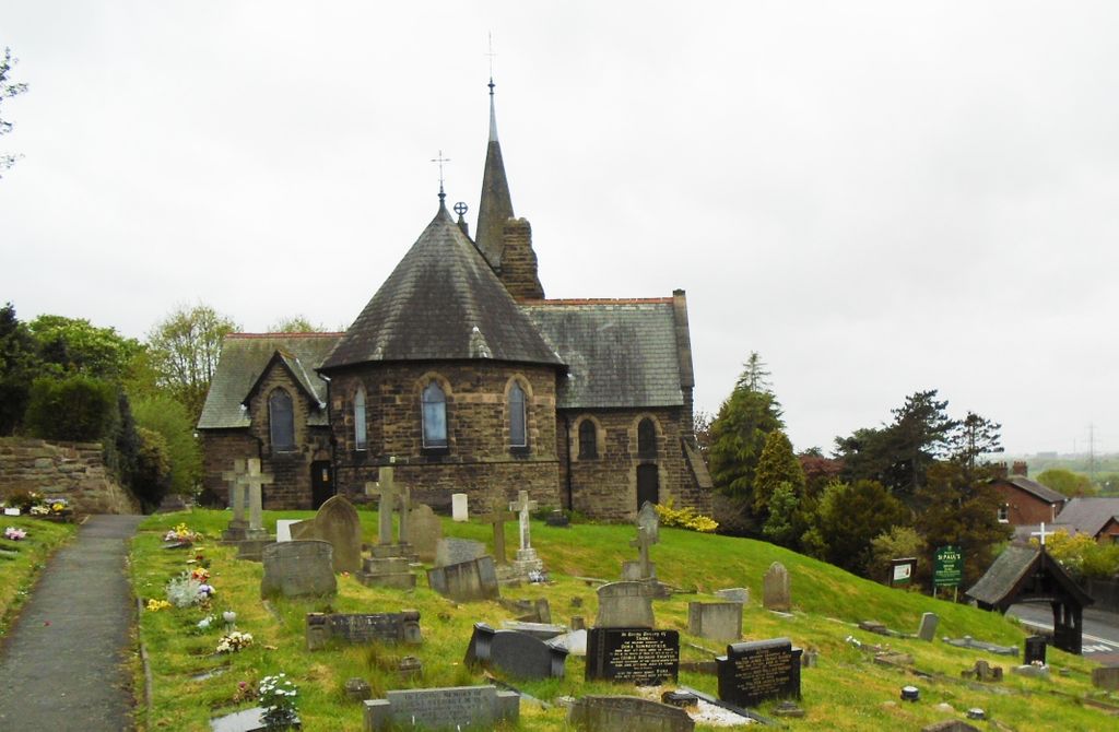
| Location | : | Helsby, Cheshire West and Chester Unitary Authority, England |
| Coordinate | : | 53.2771400, -2.7630300 |
frequently asked questions (FAQ):
-
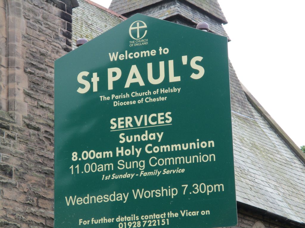
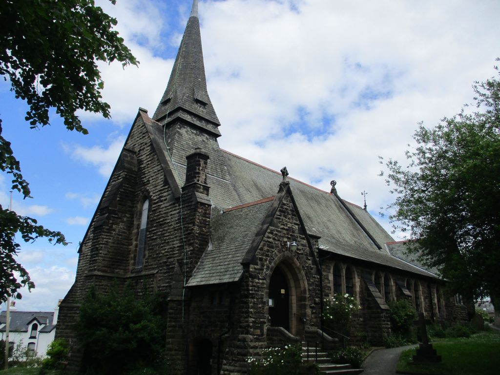
Where is St. Paul's Churchyard?
St. Paul's Churchyard is located at Vicarage Lane Helsby, Cheshire West and Chester Unitary Authority ,Cheshire , WA6 0PYEngland.
-
St. Paul's Churchyard cemetery's updated grave count on graveviews.com?
0 memorials
-
Where are the coordinates of the St. Paul's Churchyard?
Latitude: 53.2771400
Longitude: -2.7630300
Nearby Cemetories:
1. Helsby Cemetery
Helsby, Cheshire West and Chester Unitary Authority, England
Coordinate: 53.2788500, -2.7541600
2. St. John the Evangelist Churchyard
Alvanley, Cheshire West and Chester Unitary Authority, England
Coordinate: 53.2613110, -2.7547240
3. St. Laurence's Churchyard
Frodsham, Cheshire West and Chester Unitary Authority, England
Coordinate: 53.2904360, -2.7197220
4. St. Luke's Churchyard
Dunham-on-the-Hill, Cheshire West and Chester Unitary Authority, England
Coordinate: 53.2521140, -2.7926030
5. St. James Churchyard
Ince, Cheshire West and Chester Unitary Authority, England
Coordinate: 53.2812800, -2.8267300
6. St. Mary's Churchyard
Thornton-le-Moors, Cheshire West and Chester Unitary Authority, England
Coordinate: 53.2649300, -2.8384400
7. Kingsley and Newton Cemetery
Kingsley, Cheshire West and Chester Unitary Authority, England
Coordinate: 53.2697100, -2.6800400
8. Saint John the Evangelist Churchyard
Kingsley, Cheshire West and Chester Unitary Authority, England
Coordinate: 53.2701000, -2.6799000
9. St. John the Evangelist Churchyard
Ashton, Cheshire West and Chester Unitary Authority, England
Coordinate: 53.2231800, -2.7394300
10. St. Mary's Churchyard
Hale, Halton Unitary Authority, England
Coordinate: 53.3325900, -2.7952900
11. Stanlow Abbey Ruins
Ellesmere Port, Cheshire West and Chester Unitary Authority, England
Coordinate: 53.2900000, -2.8600000
12. St Peter's Parish Church Plemstall
Mickle Trafford, Cheshire West and Chester Unitary Authority, England
Coordinate: 53.2249565, -2.8143278
13. St. Peter's Churchyard
Plemstall, Cheshire West and Chester Unitary Authority, England
Coordinate: 53.2249000, -2.8144700
14. St. Peter's Churchyard
Aston, Cheshire West and Chester Unitary Authority, England
Coordinate: 53.3012900, -2.6681500
15. Runcorn Cemetery
Runcorn, Halton Unitary Authority, England
Coordinate: 53.3368050, -2.7354150
16. Halton Cemetery
Runcorn, Halton Unitary Authority, England
Coordinate: 53.3283800, -2.6943340
17. St. Lawrence Churchyard
Stoak, Cheshire West and Chester Unitary Authority, England
Coordinate: 53.2533600, -2.8655200
18. St John the Evangelist Churchyard
Norley, Cheshire West and Chester Unitary Authority, England
Coordinate: 53.2506720, -2.6598870
19. All Saints Churchyard
Runcorn, Halton Unitary Authority, England
Coordinate: 53.3434070, -2.7366030
20. Mickle Trafford Methodist Church Cemetery
Chester, Cheshire West and Chester Unitary Authority, England
Coordinate: 53.2210040, -2.8327861
21. St. Bartholomew's Churchyard
Barrow, Cheshire West and Chester Unitary Authority, England
Coordinate: 53.2094380, -2.7957310
22. Kelsall Methodist Churchyard
Kelsall, Cheshire West and Chester Unitary Authority, England
Coordinate: 53.2095380, -2.7148410
23. St Phillip Churchyard
Kelsall, Cheshire West and Chester Unitary Authority, England
Coordinate: 53.2080200, -2.7114100
24. St. John the Baptist Churchyard
Guilden Sutton, Cheshire West and Chester Unitary Authority, England
Coordinate: 53.2077400, -2.8263600