
| Memorials | : | 4 |
| Location | : | Thornton-le-Moors, Cheshire West and Chester Unitary Authority, England |
| Coordinate | : | 53.2649300, -2.8384400 |
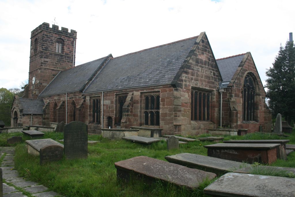
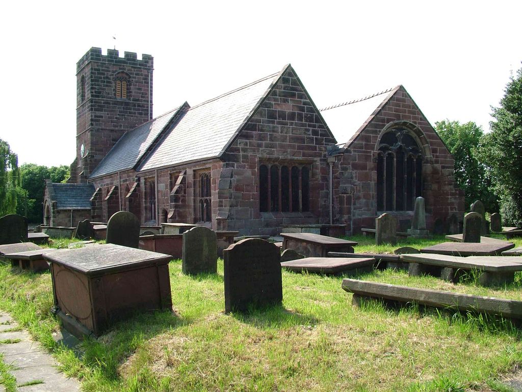
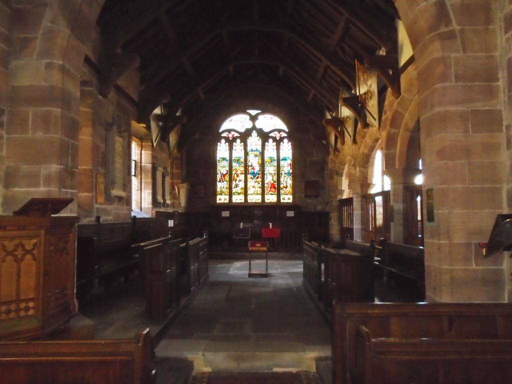
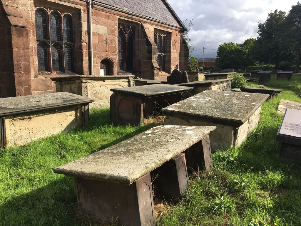
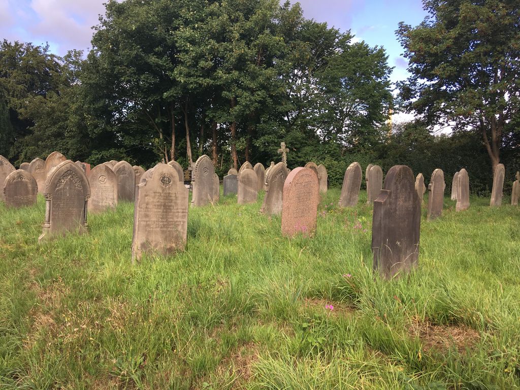
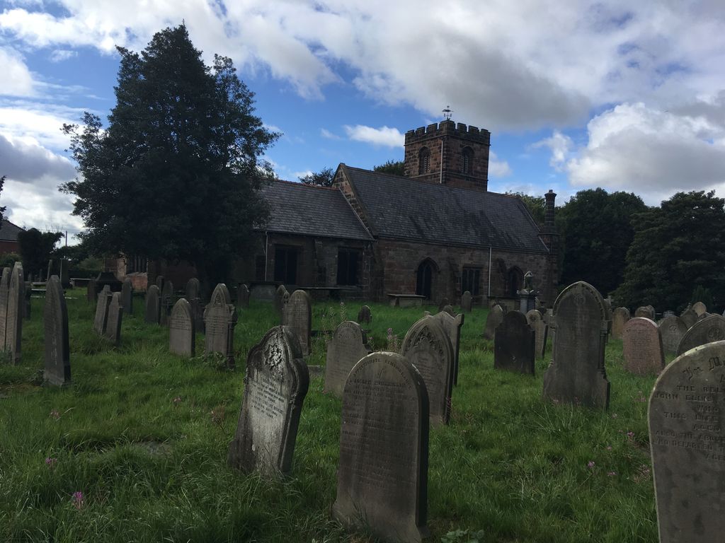
| Description | : | St. Mary's, Thornton-le-Moors is closed. Worship services are no longer conducted there. The church is cared for by the Churches Conservation Trust, the national charity protecting historic churches at risk. |
frequently asked questions (FAQ):
-
Where is St. Mary's Churchyard?
St. Mary's Churchyard is located at Thornton-le-Moors, Cheshire West and Chester Unitary Authority ,Cheshire ,England.
-
St. Mary's Churchyard cemetery's updated grave count on graveviews.com?
4 memorials
-
Where are the coordinates of the St. Mary's Churchyard?
Latitude: 53.2649300
Longitude: -2.8384400


Nearby Cemetories:
1. St. James Churchyard
Ince, Cheshire West and Chester Unitary Authority, England
Coordinate: 53.2812800, -2.8267300
2. St. Lawrence Churchyard
Stoak, Cheshire West and Chester Unitary Authority, England
Coordinate: 53.2533600, -2.8655200
3. Stanlow Abbey Ruins
Ellesmere Port, Cheshire West and Chester Unitary Authority, England
Coordinate: 53.2900000, -2.8600000
4. St. Luke's Churchyard
Dunham-on-the-Hill, Cheshire West and Chester Unitary Authority, England
Coordinate: 53.2521140, -2.7926030
5. Christ Church Churchyard
Ellesmere Port, Cheshire West and Chester Unitary Authority, England
Coordinate: 53.2861000, -2.8950800
6. St Peter's Parish Church Plemstall
Mickle Trafford, Cheshire West and Chester Unitary Authority, England
Coordinate: 53.2249565, -2.8143278
7. St. Peter's Churchyard
Plemstall, Cheshire West and Chester Unitary Authority, England
Coordinate: 53.2249000, -2.8144700
8. Mickle Trafford Methodist Church Cemetery
Chester, Cheshire West and Chester Unitary Authority, England
Coordinate: 53.2210040, -2.8327861
9. St. Paul's Churchyard
Helsby, Cheshire West and Chester Unitary Authority, England
Coordinate: 53.2771400, -2.7630300
10. St Oswalds Churchyard
Backford, Cheshire West and Chester Unitary Authority, England
Coordinate: 53.2387200, -2.9034100
11. St. John the Evangelist Churchyard
Alvanley, Cheshire West and Chester Unitary Authority, England
Coordinate: 53.2613110, -2.7547240
12. Helsby Cemetery
Helsby, Cheshire West and Chester Unitary Authority, England
Coordinate: 53.2788500, -2.7541600
13. Overpool Cemetery
Ellesmere Port, Cheshire West and Chester Unitary Authority, England
Coordinate: 53.2881800, -2.9215590
14. Holy Ascension Churchyard
Upton-by-Chester, Cheshire West and Chester Unitary Authority, England
Coordinate: 53.2157300, -2.8878700
15. St. John the Baptist Churchyard
Guilden Sutton, Cheshire West and Chester Unitary Authority, England
Coordinate: 53.2077400, -2.8263600
16. St John The Evangelist
Great Sutton, Cheshire West and Chester Unitary Authority, England
Coordinate: 53.2733100, -2.9364800
17. St. Bartholomew's Churchyard
Barrow, Cheshire West and Chester Unitary Authority, England
Coordinate: 53.2094380, -2.7957310
18. Holy Trinity Churchyard
Capenhurst, Cheshire West and Chester Unitary Authority, England
Coordinate: 53.2574000, -2.9492900
19. St. Paul's Churchyard
Hooton, Cheshire West and Chester Unitary Authority, England
Coordinate: 53.2902200, -2.9511400
20. St. Mary's Churchyard
Hale, Halton Unitary Authority, England
Coordinate: 53.3325900, -2.7952900
21. Chester Crematorium
Chester, Cheshire West and Chester Unitary Authority, England
Coordinate: 53.2050100, -2.9065700
22. St. John the Evangelist Churchyard
Ashton, Cheshire West and Chester Unitary Authority, England
Coordinate: 53.2231800, -2.7394300
23. Blacon Cemetery
Chester, Cheshire West and Chester Unitary Authority, England
Coordinate: 53.2053200, -2.9106300
24. St. Laurence's Churchyard
Frodsham, Cheshire West and Chester Unitary Authority, England
Coordinate: 53.2904360, -2.7197220