| Memorials | : | 0 |
| Location | : | Chester, Cheshire West and Chester Unitary Authority, England |
| Website | : | www.chesteranddelamereforest.org.uk/churches/mickle-trafford.html |
| Coordinate | : | 53.2210040, -2.8327861 |
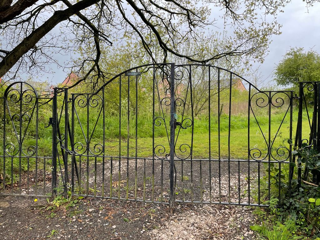
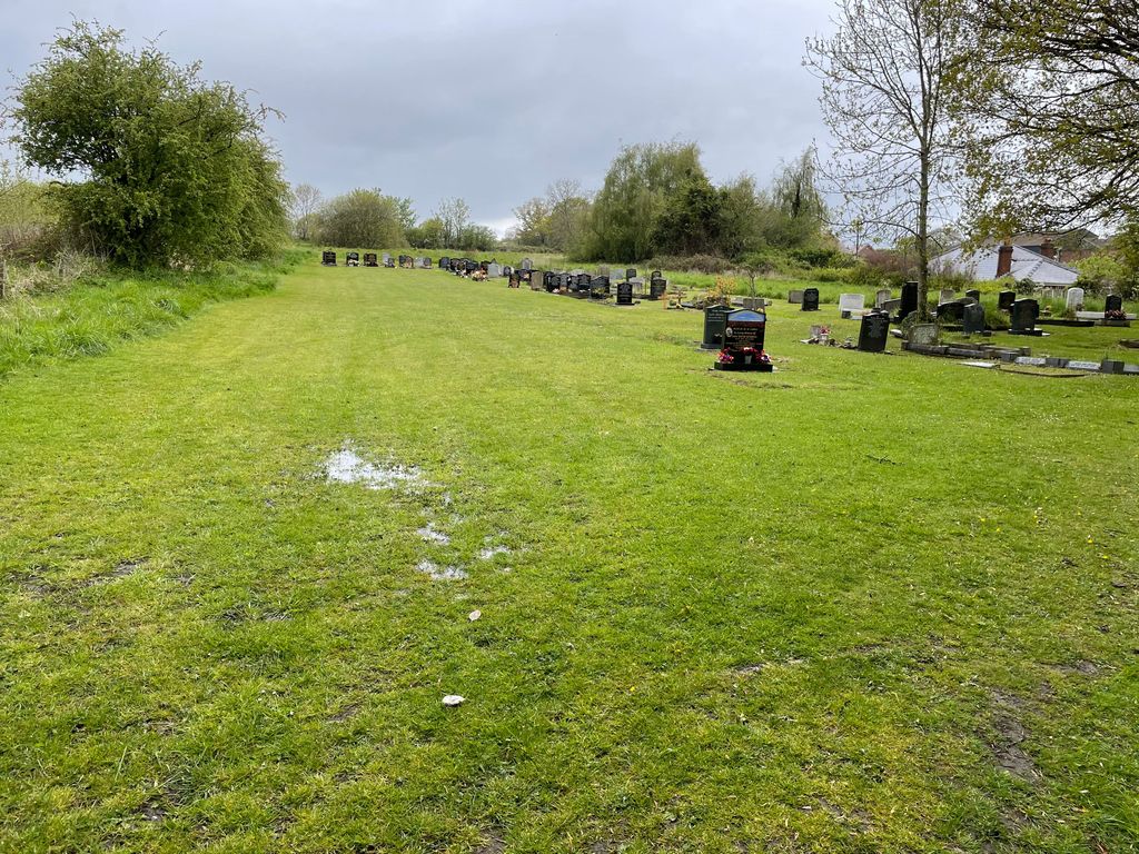
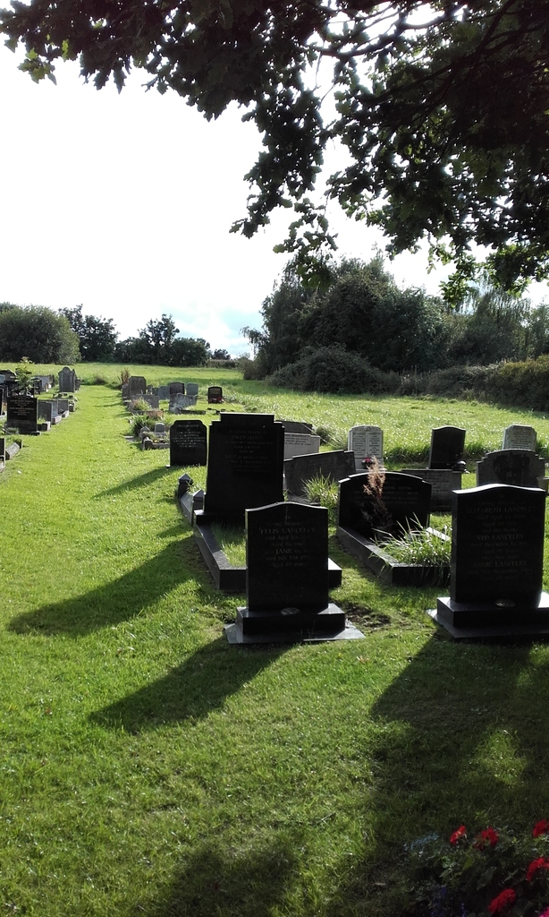
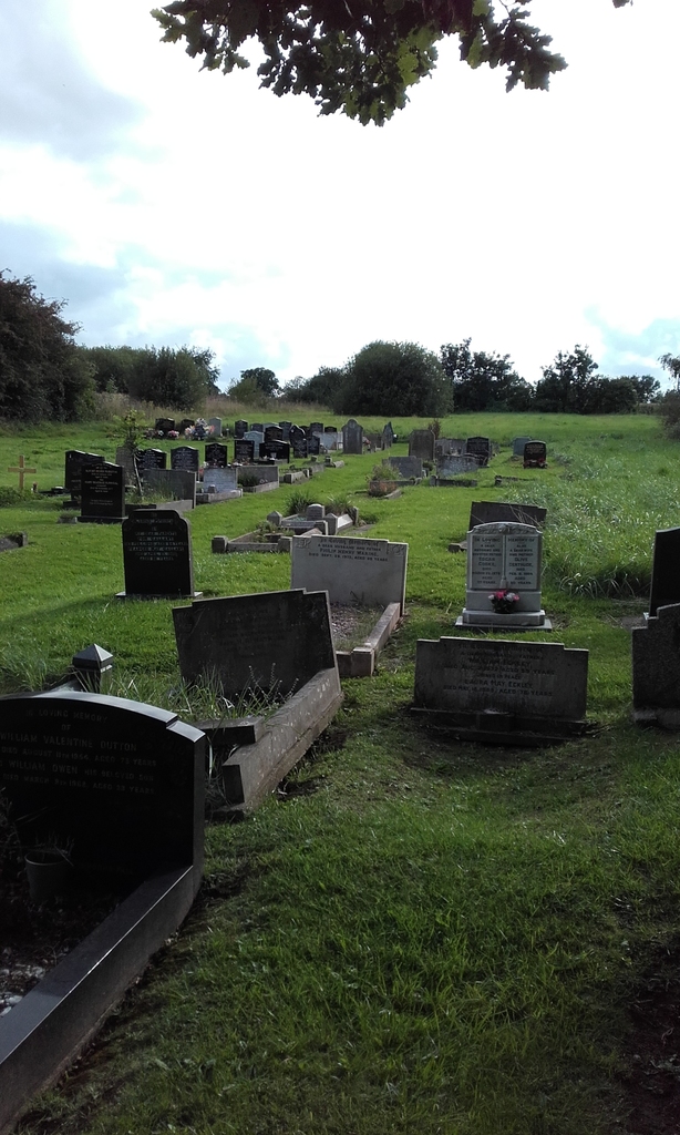
| Description | : | Founded in 1885. The burial ground is located a five minute walk away at the bottom of School Lane. |
frequently asked questions (FAQ):
-
Where is Mickle Trafford Methodist Church Cemetery?
Mickle Trafford Methodist Church Cemetery is located at Chester, Cheshire West and Chester Unitary Authority ,Cheshire , CH2 4EQEngland.
-
Mickle Trafford Methodist Church Cemetery cemetery's updated grave count on graveviews.com?
0 memorials
-
Where are the coordinates of the Mickle Trafford Methodist Church Cemetery?
Latitude: 53.2210040
Longitude: -2.8327861
Nearby Cemetories:
1. St. Peter's Churchyard
Plemstall, Cheshire West and Chester Unitary Authority, England
Coordinate: 53.2249000, -2.8144700
2. St Peter's Parish Church Plemstall
Mickle Trafford, Cheshire West and Chester Unitary Authority, England
Coordinate: 53.2249565, -2.8143278
3. St. John the Baptist Churchyard
Guilden Sutton, Cheshire West and Chester Unitary Authority, England
Coordinate: 53.2077400, -2.8263600
4. St. Bartholomew's Churchyard
Barrow, Cheshire West and Chester Unitary Authority, England
Coordinate: 53.2094380, -2.7957310
5. Holy Ascension Churchyard
Upton-by-Chester, Cheshire West and Chester Unitary Authority, England
Coordinate: 53.2157300, -2.8878700
6. St James Churchyard
Christleton, Cheshire West and Chester Unitary Authority, England
Coordinate: 53.1854400, -2.8382800
7. St. Lawrence Churchyard
Stoak, Cheshire West and Chester Unitary Authority, England
Coordinate: 53.2533600, -2.8655200
8. St. Luke's Churchyard
Dunham-on-the-Hill, Cheshire West and Chester Unitary Authority, England
Coordinate: 53.2521140, -2.7926030
9. St. Mary's Churchyard
Thornton-le-Moors, Cheshire West and Chester Unitary Authority, England
Coordinate: 53.2649300, -2.8384400
10. Saint John the Baptist Churchyard
Chester, Cheshire West and Chester Unitary Authority, England
Coordinate: 53.1888299, -2.8855186
11. Chester Cathedral
Chester, Cheshire West and Chester Unitary Authority, England
Coordinate: 53.1918900, -2.8904600
12. Catholic Apostolic Church
Chester, Cheshire West and Chester Unitary Authority, England
Coordinate: 53.1950660, -2.8949290
13. Wesleyan Chapel
Chester, Cheshire West and Chester Unitary Authority, England
Coordinate: 53.1898540, -2.8883230
14. St Oswalds Churchyard
Backford, Cheshire West and Chester Unitary Authority, England
Coordinate: 53.2387200, -2.9034100
15. St Peter's Church
Chester, Cheshire West and Chester Unitary Authority, England
Coordinate: 53.1903000, -2.8917200
16. Chester Crematorium
Chester, Cheshire West and Chester Unitary Authority, England
Coordinate: 53.2050100, -2.9065700
17. Chester City Gaol Cemetery
Chester, Cheshire West and Chester Unitary Authority, England
Coordinate: 53.1916040, -2.8962990
18. St Andrew Churchyard
Tarvin, Cheshire West and Chester Unitary Authority, England
Coordinate: 53.1973170, -2.7620510
19. St. Mary's Centre
Chester, Cheshire West and Chester Unitary Authority, England
Coordinate: 53.1868400, -2.8917900
20. Blacon Cemetery
Chester, Cheshire West and Chester Unitary Authority, England
Coordinate: 53.2053200, -2.9106300
21. St Bridget Churchyard
Chester, Cheshire West and Chester Unitary Authority, England
Coordinate: 53.1871000, -2.8931900
22. Chester Castle Cemetery
Chester, Cheshire West and Chester Unitary Authority, England
Coordinate: 53.1853170, -2.8927920
23. St. Mary Without-The-Walls Churchyard
Chester, Cheshire West and Chester Unitary Authority, England
Coordinate: 53.1828358, -2.8888967
24. Overleigh Old Cemetery
Chester, Cheshire West and Chester Unitary Authority, England
Coordinate: 53.1808930, -2.8936610


