| Memorials | : | 0 |
| Location | : | Mickle Trafford, Cheshire West and Chester Unitary Authority, England |
| Coordinate | : | 53.2249565, -2.8143278 |
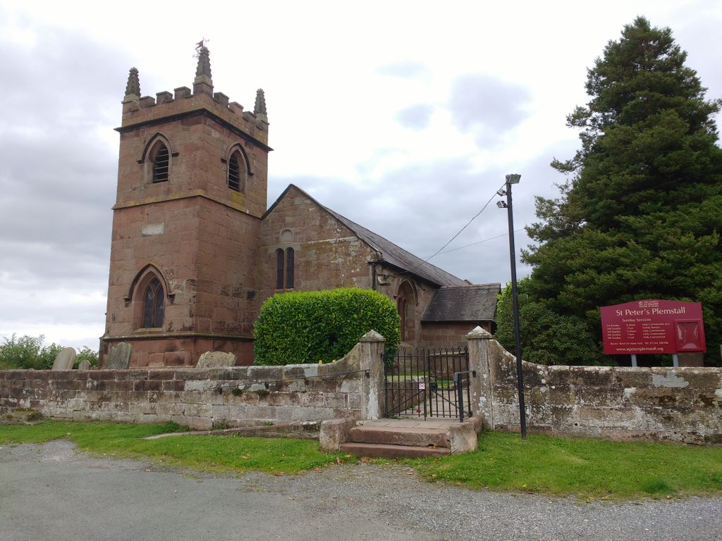
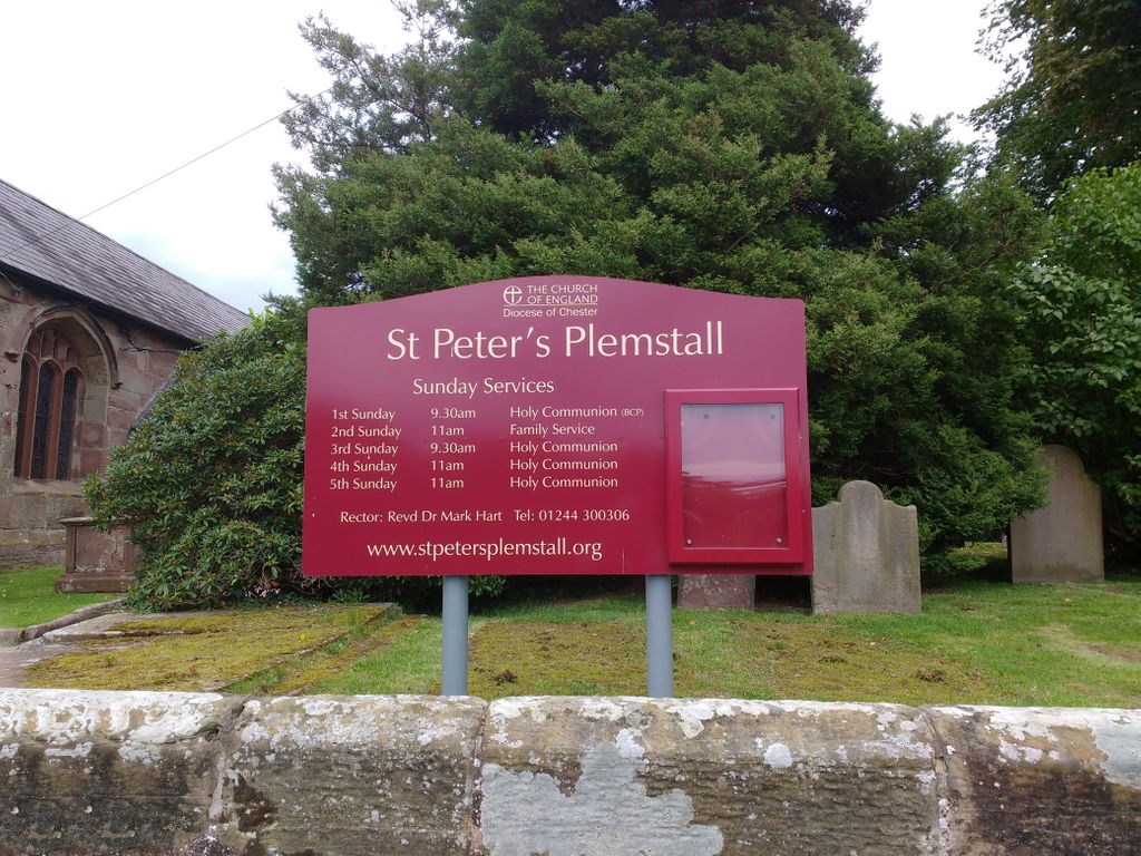
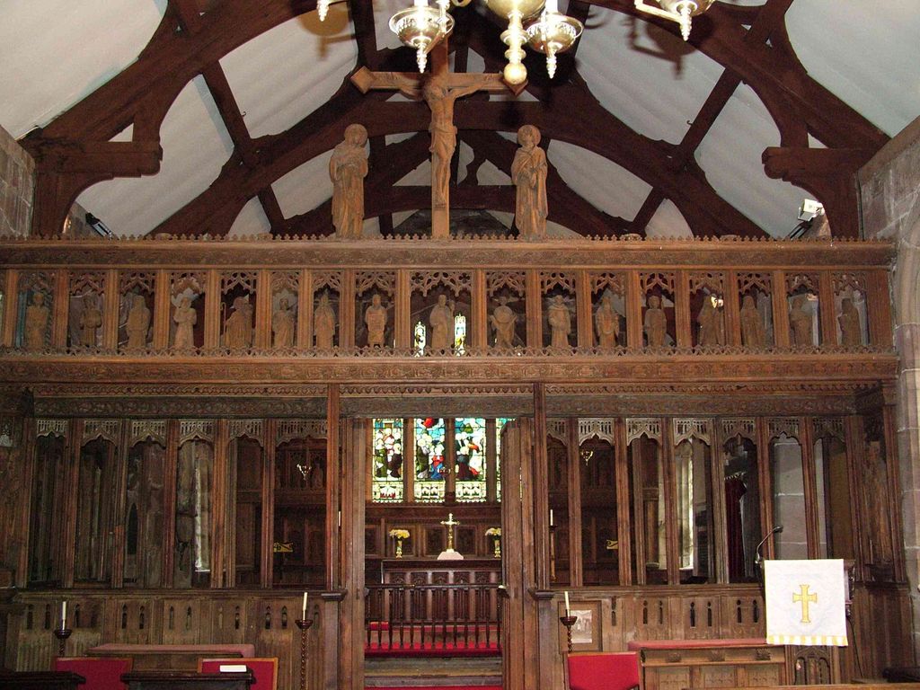
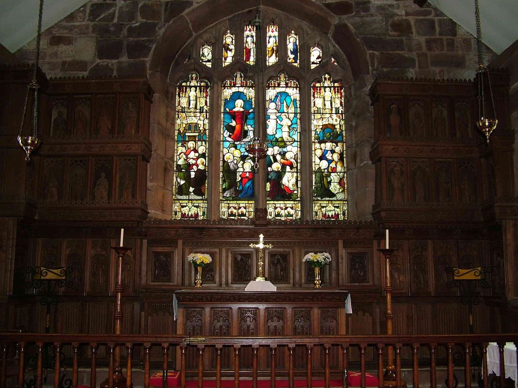
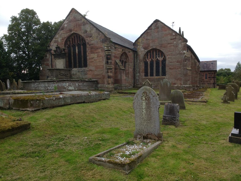
| Description | : | St Peter's is on a site of Christian worship dating back to at least the 7th century. Once surrounded by the Mersey tidewaters, legend tells of a fisherman who was shipwrecked and in gratitude built a church, dedicating it to Peter the fisherman Plemstall gets its name from the scholar Plegmund who ministered here in the 9th century, later serving in the court of Alfred the Great, and from 890 as Archbishop of Canterbury. The dates of the present building span from the 13th century to the toilet extension of the 21st century. |
frequently asked questions (FAQ):
-
Where is St Peter's Parish Church Plemstall?
St Peter's Parish Church Plemstall is located at Plemstall Lane Mickle Trafford, Cheshire West and Chester Unitary Authority ,Cheshire ,England.
-
St Peter's Parish Church Plemstall cemetery's updated grave count on graveviews.com?
0 memorials
-
Where are the coordinates of the St Peter's Parish Church Plemstall?
Latitude: 53.2249565
Longitude: -2.8143278
Nearby Cemetories:
1. St. Peter's Churchyard
Plemstall, Cheshire West and Chester Unitary Authority, England
Coordinate: 53.2249000, -2.8144700
2. Mickle Trafford Methodist Church Cemetery
Chester, Cheshire West and Chester Unitary Authority, England
Coordinate: 53.2210040, -2.8327861
3. St. John the Baptist Churchyard
Guilden Sutton, Cheshire West and Chester Unitary Authority, England
Coordinate: 53.2077400, -2.8263600
4. St. Bartholomew's Churchyard
Barrow, Cheshire West and Chester Unitary Authority, England
Coordinate: 53.2094380, -2.7957310
5. St. Luke's Churchyard
Dunham-on-the-Hill, Cheshire West and Chester Unitary Authority, England
Coordinate: 53.2521140, -2.7926030
6. St Andrew Churchyard
Tarvin, Cheshire West and Chester Unitary Authority, England
Coordinate: 53.1973170, -2.7620510
7. St. Lawrence Churchyard
Stoak, Cheshire West and Chester Unitary Authority, England
Coordinate: 53.2533600, -2.8655200
8. St James Churchyard
Christleton, Cheshire West and Chester Unitary Authority, England
Coordinate: 53.1854400, -2.8382800
9. St. Mary's Churchyard
Thornton-le-Moors, Cheshire West and Chester Unitary Authority, England
Coordinate: 53.2649300, -2.8384400
10. St. John the Evangelist Churchyard
Ashton, Cheshire West and Chester Unitary Authority, England
Coordinate: 53.2231800, -2.7394300
11. Holy Ascension Churchyard
Upton-by-Chester, Cheshire West and Chester Unitary Authority, England
Coordinate: 53.2157300, -2.8878700
12. St. John the Evangelist Churchyard
Alvanley, Cheshire West and Chester Unitary Authority, England
Coordinate: 53.2613110, -2.7547240
13. St Oswalds Churchyard
Backford, Cheshire West and Chester Unitary Authority, England
Coordinate: 53.2387200, -2.9034100
14. Saint John the Baptist Churchyard
Chester, Cheshire West and Chester Unitary Authority, England
Coordinate: 53.1888299, -2.8855186
15. Chester Cathedral
Chester, Cheshire West and Chester Unitary Authority, England
Coordinate: 53.1918900, -2.8904600
16. Wesleyan Chapel
Chester, Cheshire West and Chester Unitary Authority, England
Coordinate: 53.1898540, -2.8883230
17. Catholic Apostolic Church
Chester, Cheshire West and Chester Unitary Authority, England
Coordinate: 53.1950660, -2.8949290
18. St. James Churchyard
Ince, Cheshire West and Chester Unitary Authority, England
Coordinate: 53.2812800, -2.8267300
19. St Peter's Church
Chester, Cheshire West and Chester Unitary Authority, England
Coordinate: 53.1903000, -2.8917200
20. Chester Crematorium
Chester, Cheshire West and Chester Unitary Authority, England
Coordinate: 53.2050100, -2.9065700
21. Chester City Gaol Cemetery
Chester, Cheshire West and Chester Unitary Authority, England
Coordinate: 53.1916040, -2.8962990
22. St. Mary's Centre
Chester, Cheshire West and Chester Unitary Authority, England
Coordinate: 53.1868400, -2.8917900
23. St Bridget Churchyard
Chester, Cheshire West and Chester Unitary Authority, England
Coordinate: 53.1871000, -2.8931900
24. St. Paul's Churchyard
Helsby, Cheshire West and Chester Unitary Authority, England
Coordinate: 53.2771400, -2.7630300

