
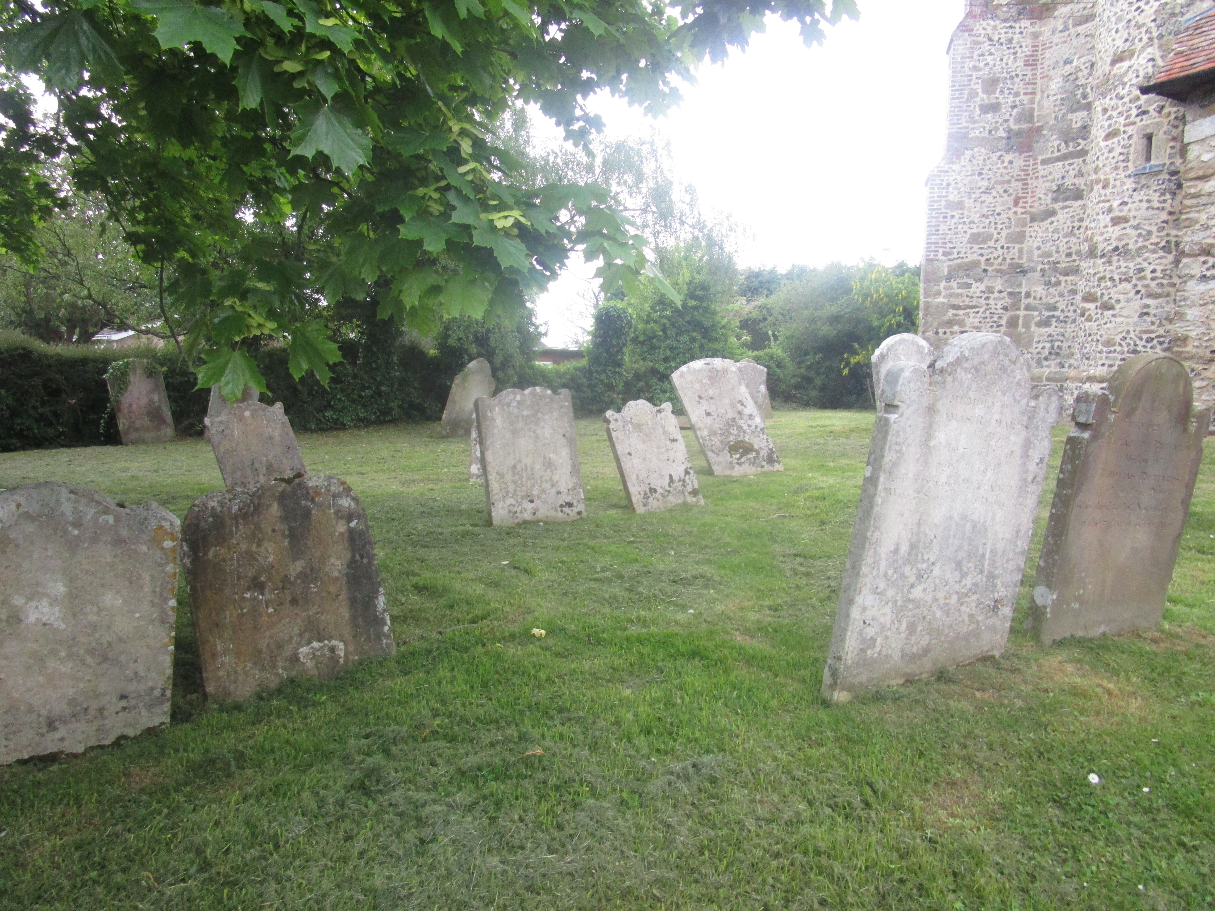
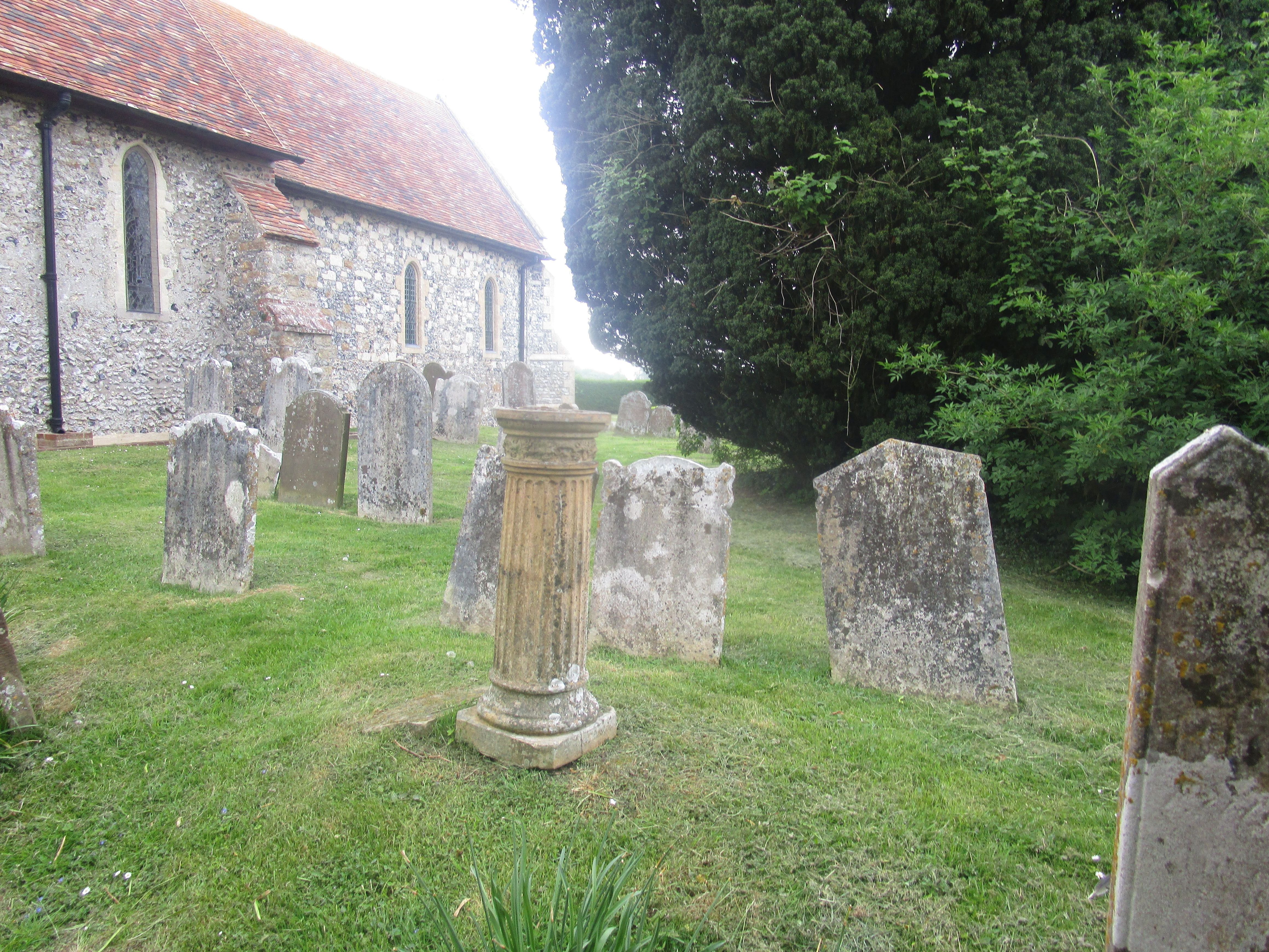
| Memorials | : | 0 |
| Location | : | Swingfield, Shepway District, England |
| Coordinate | : | 51.1464500, 1.1908500 |
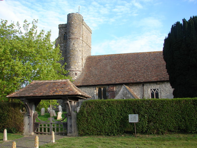
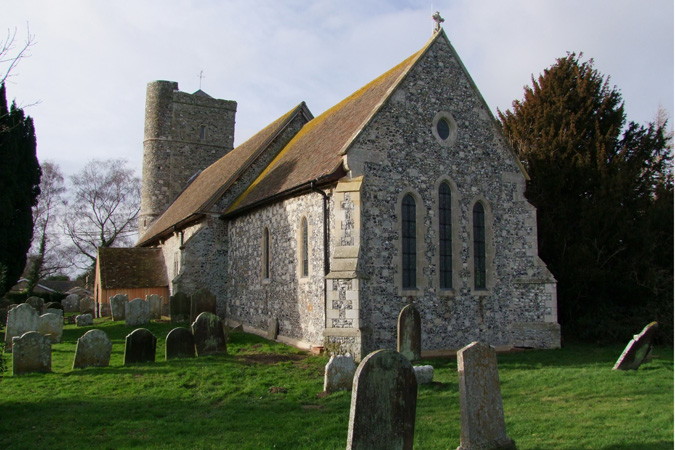
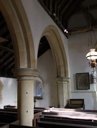
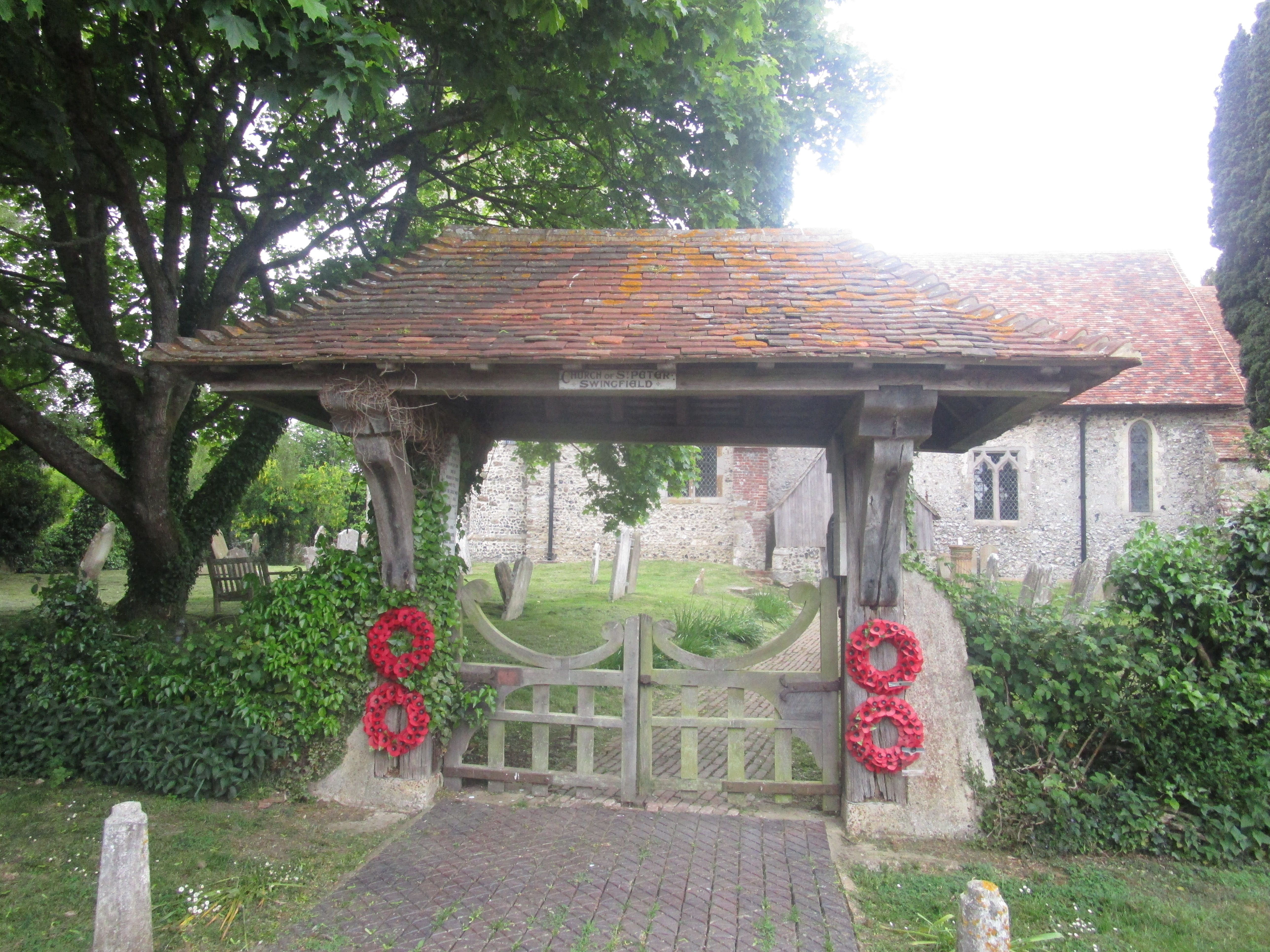
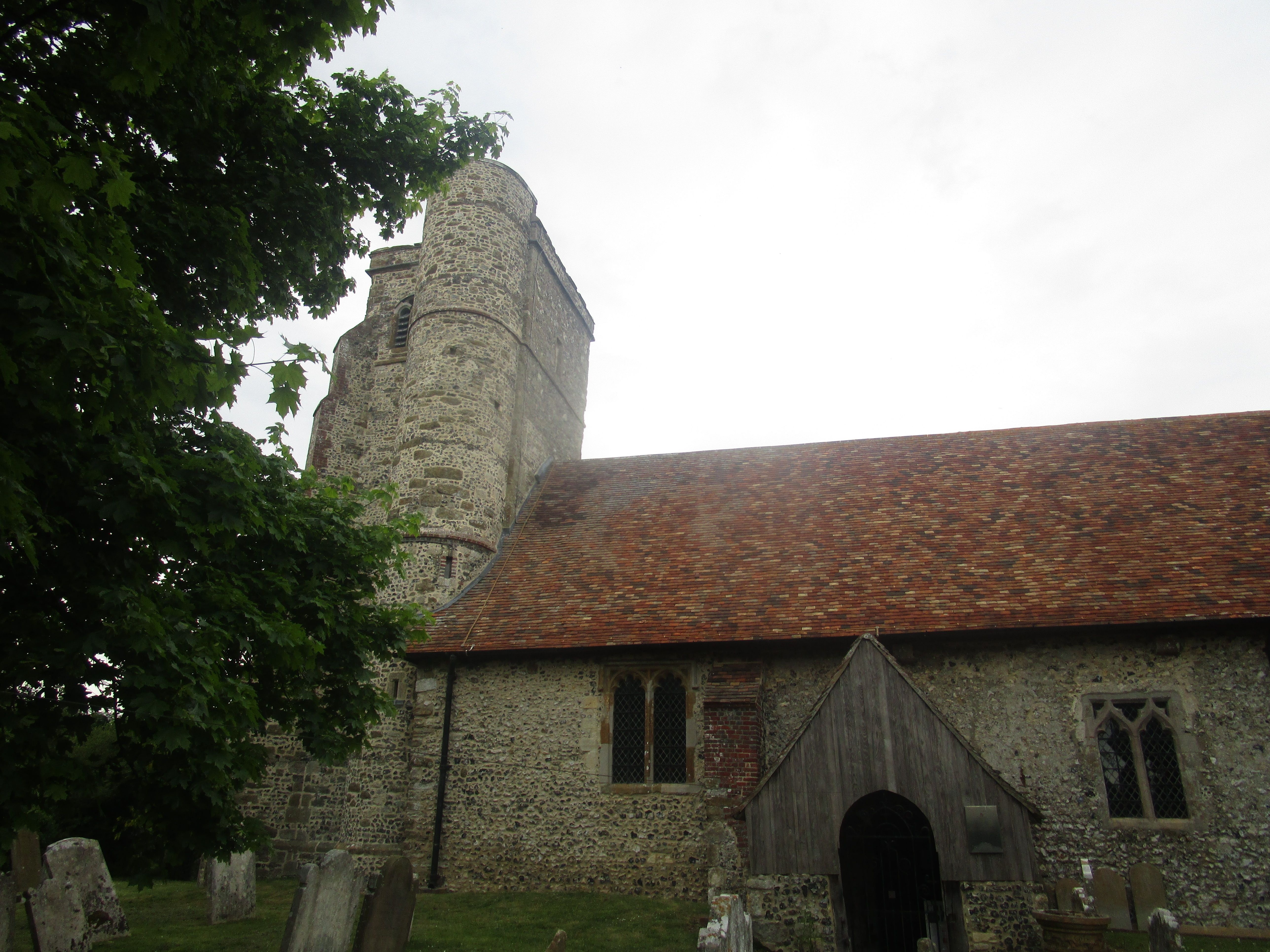
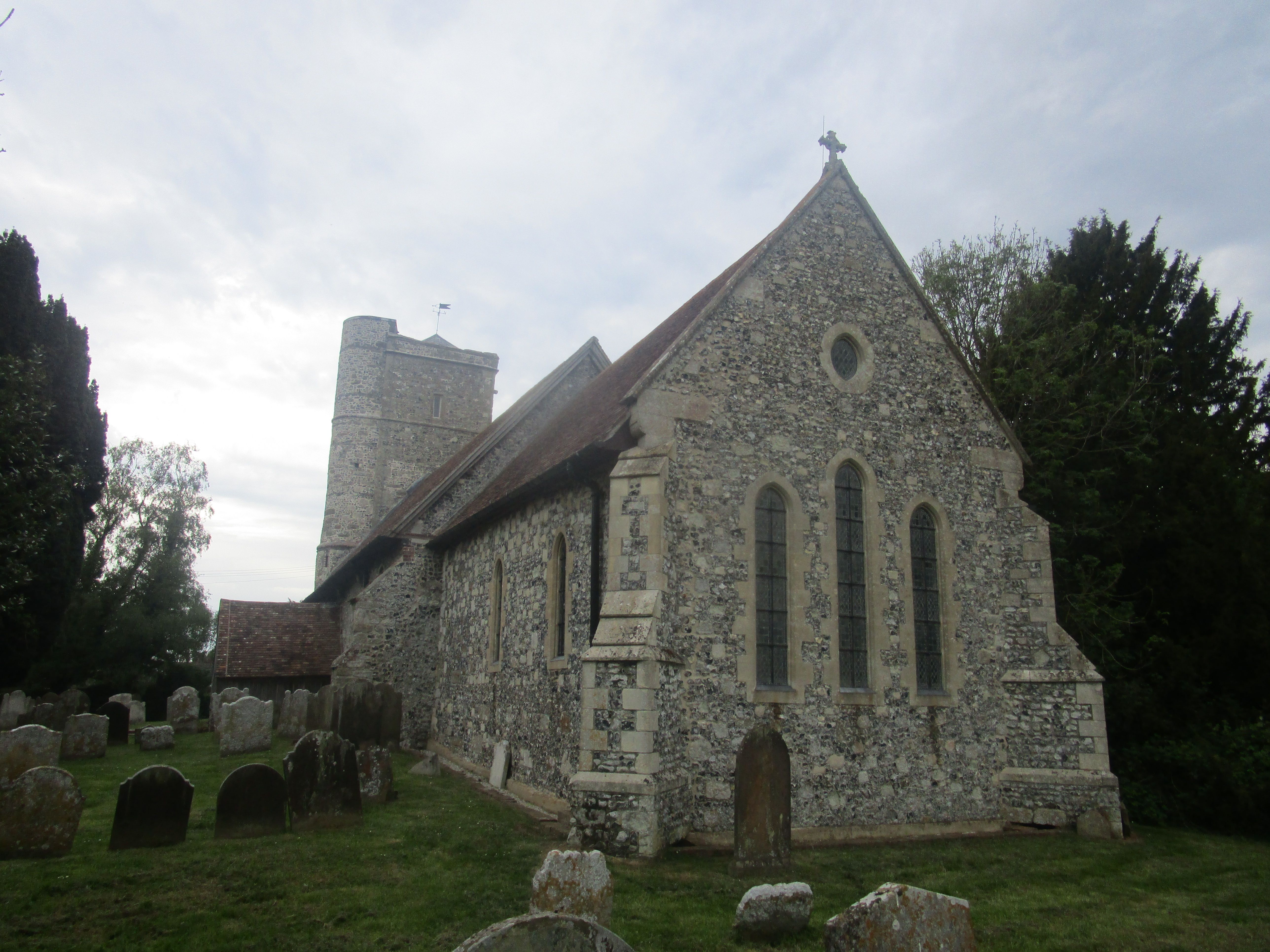
| Description | : | St. Peter's Church, Swingfield Written in ancient deeds both Swynefelde and Swinfield, is the next adjoining parish eastward from Acrise. A huge 13th-century tower dominates this Medieval church in a quiet location on the Kent Downs. The church has very close links with the Knights Hospitallers whose Commandery still stands across the fields. The church is constructed in knapped flint with stone dressings. The roofs of the body of the church are tiled, and the tower roof is slated. Its plan consists of a nave with a north aisle and a south porch, a slightly narrower chancel, and a west tower.... Read More |
frequently asked questions (FAQ):
-
Where is St. Peter's Church Cemetery?
St. Peter's Church Cemetery is located at Swingfield, Shepway District ,Kent ,England.
-
St. Peter's Church Cemetery cemetery's updated grave count on graveviews.com?
0 memorials
-
Where are the coordinates of the St. Peter's Church Cemetery?
Latitude: 51.1464500
Longitude: 1.1908500
Nearby Cemetories:
1. St Anthony Churchyard
Alkham, Dover District, England
Coordinate: 51.1360930, 1.2226440
2. St Mary Magdalene Churchyard
Denton, Dover District, England
Coordinate: 51.1767118, 1.1694535
3. St Michael the Archangel Churchyard
Hawkinge, Shepway District, England
Coordinate: 51.1130600, 1.1819210
4. Saint Mary the Virgin Churchyard
Lydden, Dover District, England
Coordinate: 51.1658200, 1.2373050
5. St. Martin's Churchyard
Acrise, Shepway District, England
Coordinate: 51.1372970, 1.1346610
6. Hawkinge Cemetery and Crematorium
Hawkinge, Shepway District, England
Coordinate: 51.1163710, 1.1578030
7. St. Mary's Churchyard
Capel-le-Ferne, Dover District, England
Coordinate: 51.1149650, 1.2235540
8. Saint Andrew Churchyard
Shepherdswell, Dover District, England
Coordinate: 51.1841500, 1.2358000
9. St. Oswald's Churchyard
Paddlesworth, Shepway District, England
Coordinate: 51.1149760, 1.1348910
10. St. Peter and St. Paul's Churchyard
Temple Ewell, Dover District, England
Coordinate: 51.1515565, 1.2675213
11. National Battle of Britain Memorial
Capel-le-Ferne, Dover District, England
Coordinate: 51.0984880, 1.2059130
12. St. Mary the Virgin Churchyard
Elham, Shepway District, England
Coordinate: 51.1521870, 1.1118610
13. Elham Burial Ground
Elham, Shepway District, England
Coordinate: 51.1497940, 1.1115020
14. Elham Methodist Church
Elham, Shepway District, England
Coordinate: 51.1542930, 1.1113970
15. St Laurence the Martyr Churchyard
Church Hougham, Dover District, England
Coordinate: 51.1137180, 1.2536650
16. Barham Crematorium
Barham, City of Canterbury, England
Coordinate: 51.1972610, 1.1800310
17. St Peter and St Paul Churchyard
River, Dover District, England
Coordinate: 51.1447480, 1.2733710
18. Saint Pancras Churchyard
Coldred, Dover District, England
Coordinate: 51.1822600, 1.2529260
19. St John the Baptist Churchyard
Folkestone, Shepway District, England
Coordinate: 51.0858580, 1.1760900
20. St John the Baptist Church Cemetery
Barham, City of Canterbury, England
Coordinate: 51.2056600, 1.1629900
21. St John the Baptist Churchyard
Barham, City of Canterbury, England
Coordinate: 51.2065410, 1.1620830
22. Bradstone Baptist Burial Ground
Folkestone, Shepway District, England
Coordinate: 51.0830220, 1.1803570
23. Folkestone Friends Burial Ground
Folkestone, Shepway District, England
Coordinate: 51.0825560, 1.1856030
24. St Michael & All Angels Churchyard
Folkestone, Shepway District, England
Coordinate: 51.0821600, 1.1820300