
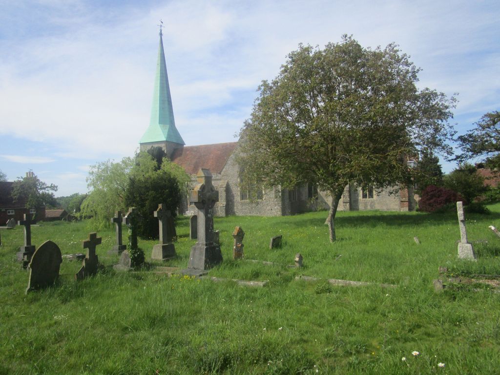
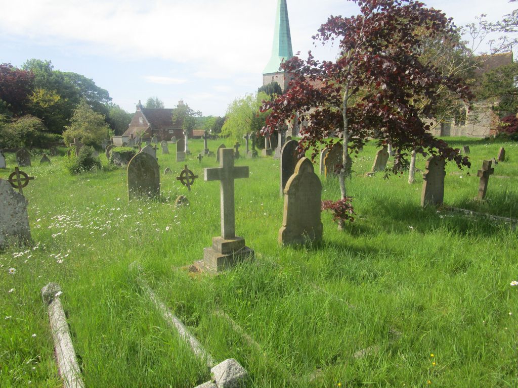
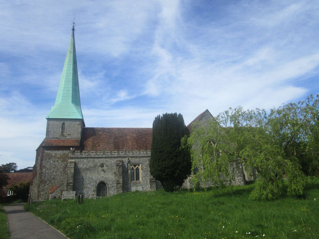
| Memorials | : | 555 |
| Location | : | Barham, City of Canterbury, England |
| Coordinate | : | 51.2065410, 1.1620830 |
frequently asked questions (FAQ):
-
Where is St John the Baptist Churchyard?
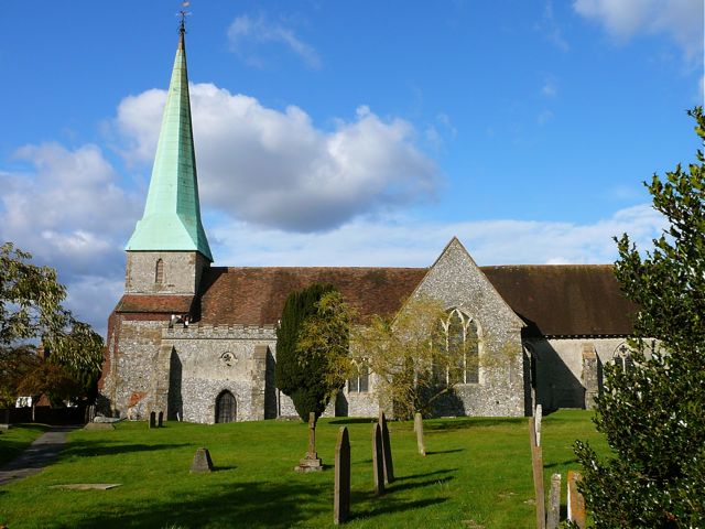
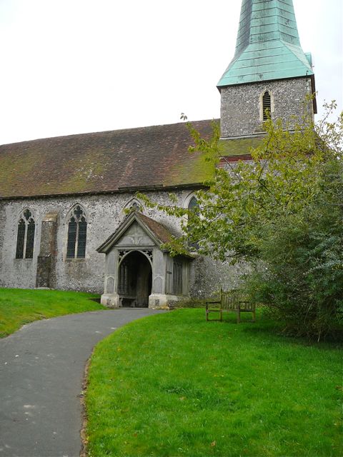
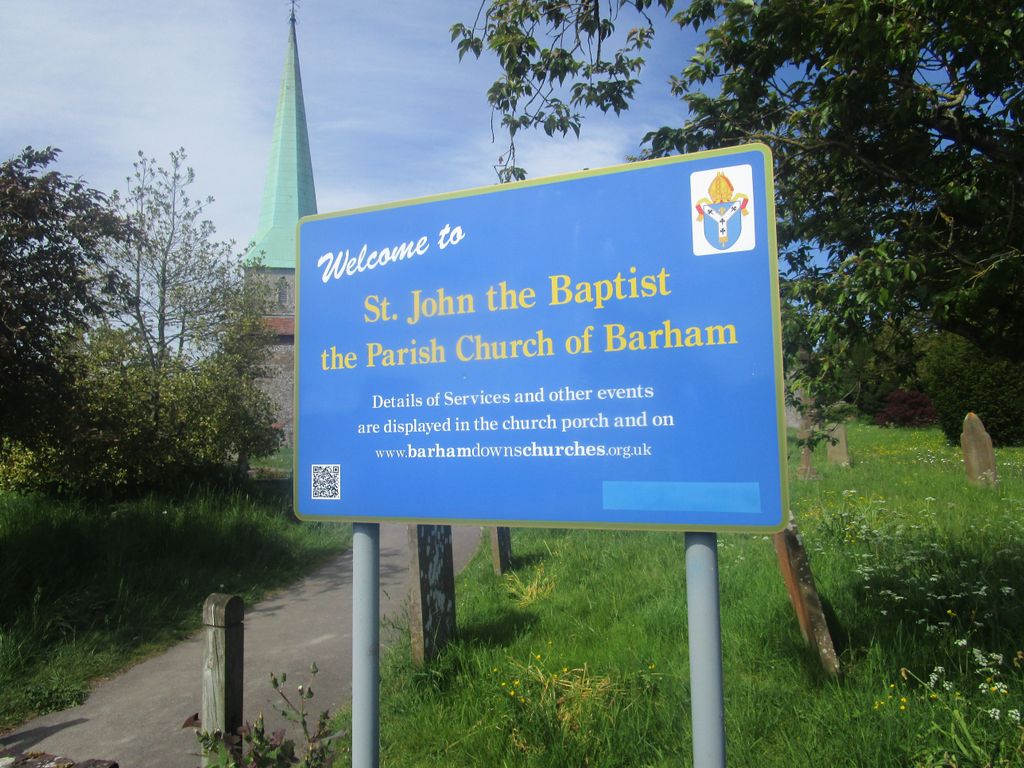
St John the Baptist Churchyard is located at Church Hill Barham, City of Canterbury ,Kent , CT4 6PBEngland.
-
St John the Baptist Churchyard cemetery's updated grave count on graveviews.com?
82 memorials
-
Where are the coordinates of the St John the Baptist Churchyard?
Latitude: 51.2065410
Longitude: 1.1620830

Nearby Cemetories:
1. St John the Baptist Church Cemetery
Barham, City of Canterbury, England
Coordinate: 51.2056600, 1.1629900
2. Aylesham Cemetery
Aylesham, Dover District, England
Coordinate: 51.2126910, 1.1781980
3. Barham Crematorium
Barham, City of Canterbury, England
Coordinate: 51.1972610, 1.1800310
4. St. Giles Churchyard
Kingston, City of Canterbury, England
Coordinate: 51.2181750, 1.1463980
5. St Margaret of Antioch Churchyard
Womenswold, City of Canterbury, England
Coordinate: 51.2109850, 1.1878090
6. St Mary Magdalene Churchyard
Denton, Dover District, England
Coordinate: 51.1767118, 1.1694535
7. St Mary Churchyard
Bishopsbourne, City of Canterbury, England
Coordinate: 51.2307620, 1.1323170
8. Holy Innocents Churchyard
Adisham, City of Canterbury, England
Coordinate: 51.2440380, 1.1903320
9. St Peter Churchyard
Bridge, City of Canterbury, England
Coordinate: 51.2443730, 1.1271000
10. St Mary the Virgin Churchyard
Nonington, Dover District, England
Coordinate: 51.2258300, 1.2253800
11. Saint Nicholas Churchyard
Eythorne, Dover District, England
Coordinate: 51.2055720, 1.2400490
12. St Nicholas’ Barfrestone Church Burial Ground
Eythorne, Dover District, England
Coordinate: 51.2056350, 1.2400870
13. St Mary Churchyard
Patrixbourne, City of Canterbury, England
Coordinate: 51.2534430, 1.1364840
14. St Peter Churchyard
Bekesbourne, City of Canterbury, England
Coordinate: 51.2563430, 1.1445750
15. Saint Andrew Churchyard
Shepherdswell, Dover District, England
Coordinate: 51.1841500, 1.2358000
16. St Peter and St Paul Churchyard
Upper Hardres, City of Canterbury, England
Coordinate: 51.2152380, 1.0811020
17. Holy Cross
Goodnestone, Dover District, England
Coordinate: 51.2457190, 1.2290550
18. St Mary's Churchyard
Lower Hardres, City of Canterbury, England
Coordinate: 51.2371410, 1.0821320
19. Elham Methodist Church
Elham, Shepway District, England
Coordinate: 51.1542930, 1.1113970
20. Saint Pancras Churchyard
Coldred, Dover District, England
Coordinate: 51.1822600, 1.2529260
21. St Mary Churchyard
Stelling Minnis, Shepway District, England
Coordinate: 51.1963830, 1.0644830
22. Saint Mary the Virgin Churchyard
Lydden, Dover District, England
Coordinate: 51.1658200, 1.2373050
23. Saint Peter & Saint Paul Churchyard
Eythorne, Dover District, England
Coordinate: 51.2011990, 1.2616710
24. St. Peter's Church Cemetery
Swingfield, Shepway District, England
Coordinate: 51.1464500, 1.1908500