
| Memorials | : | 74 |
| Location | : | Capel-le-Ferne, Dover District, England |
| Coordinate | : | 51.1149650, 1.2235540 |
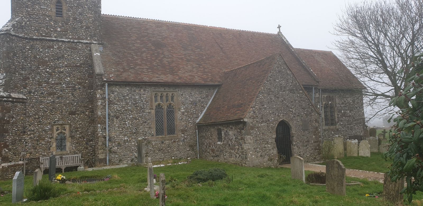
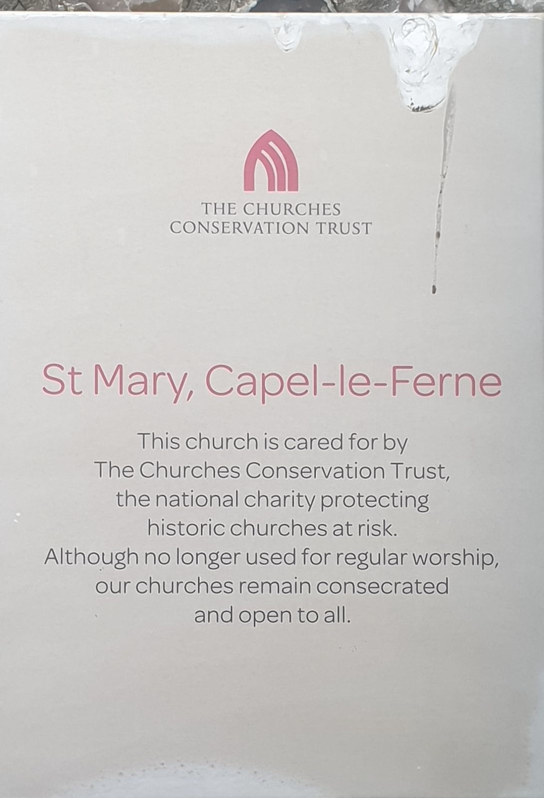
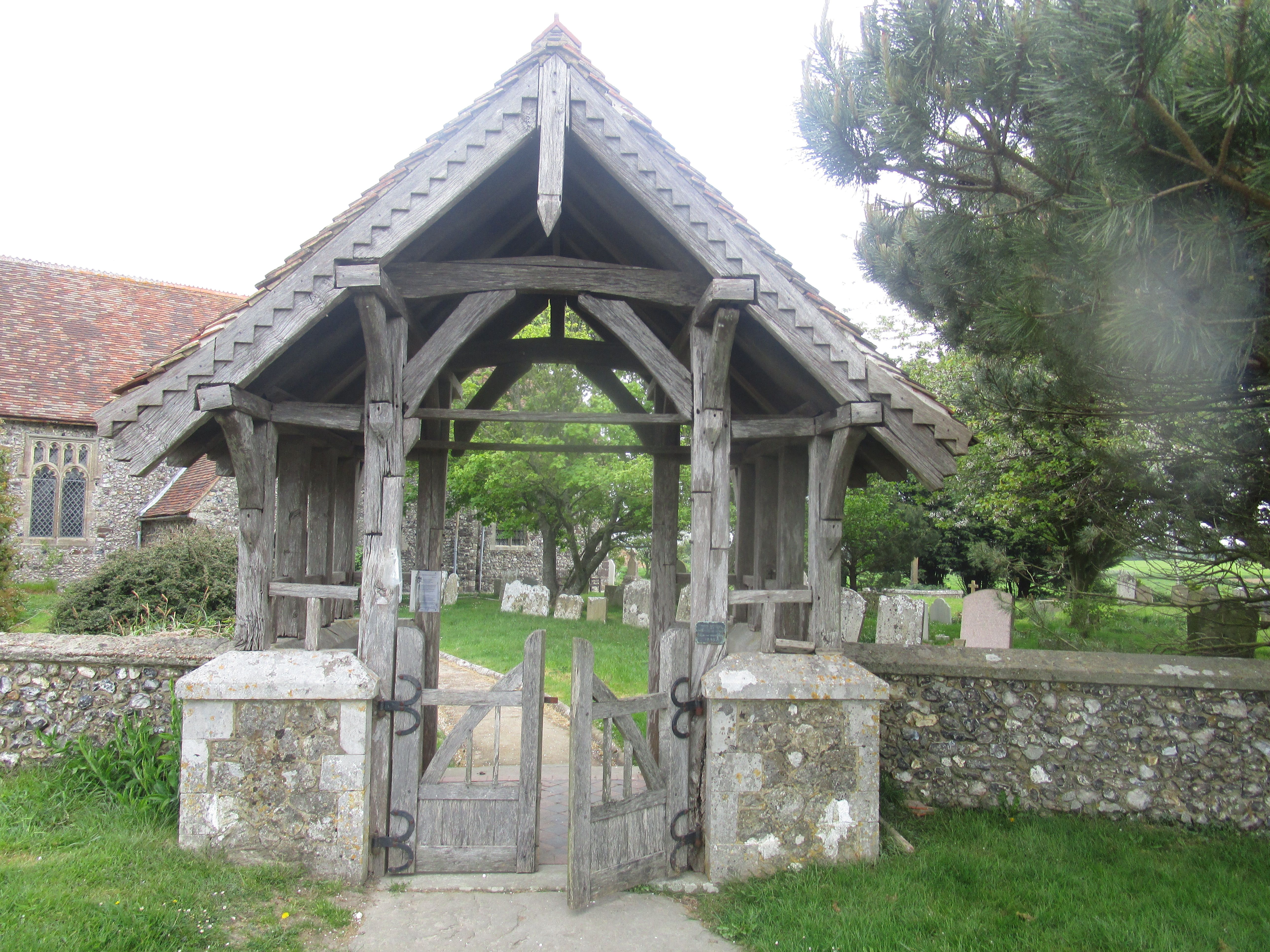
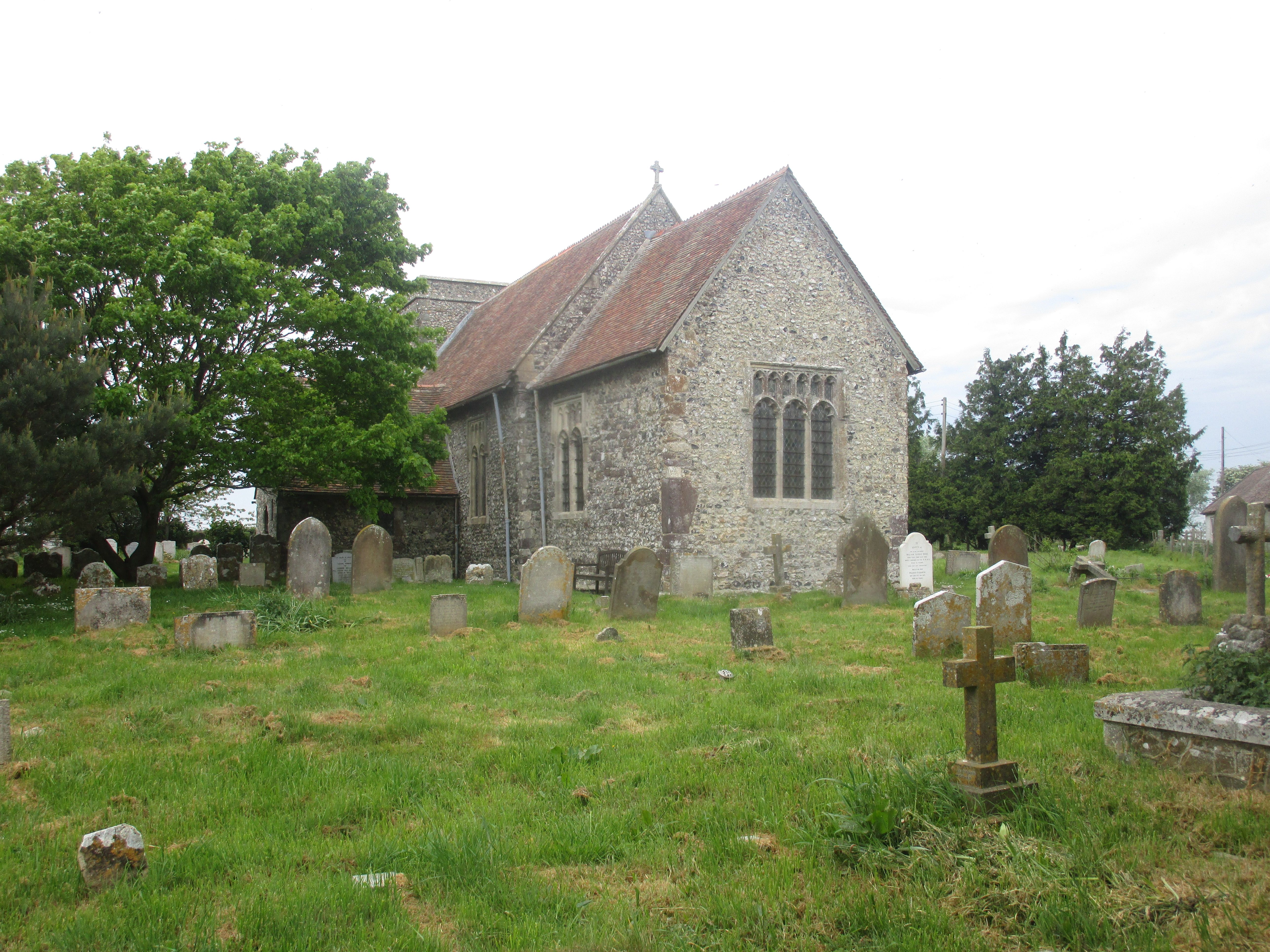
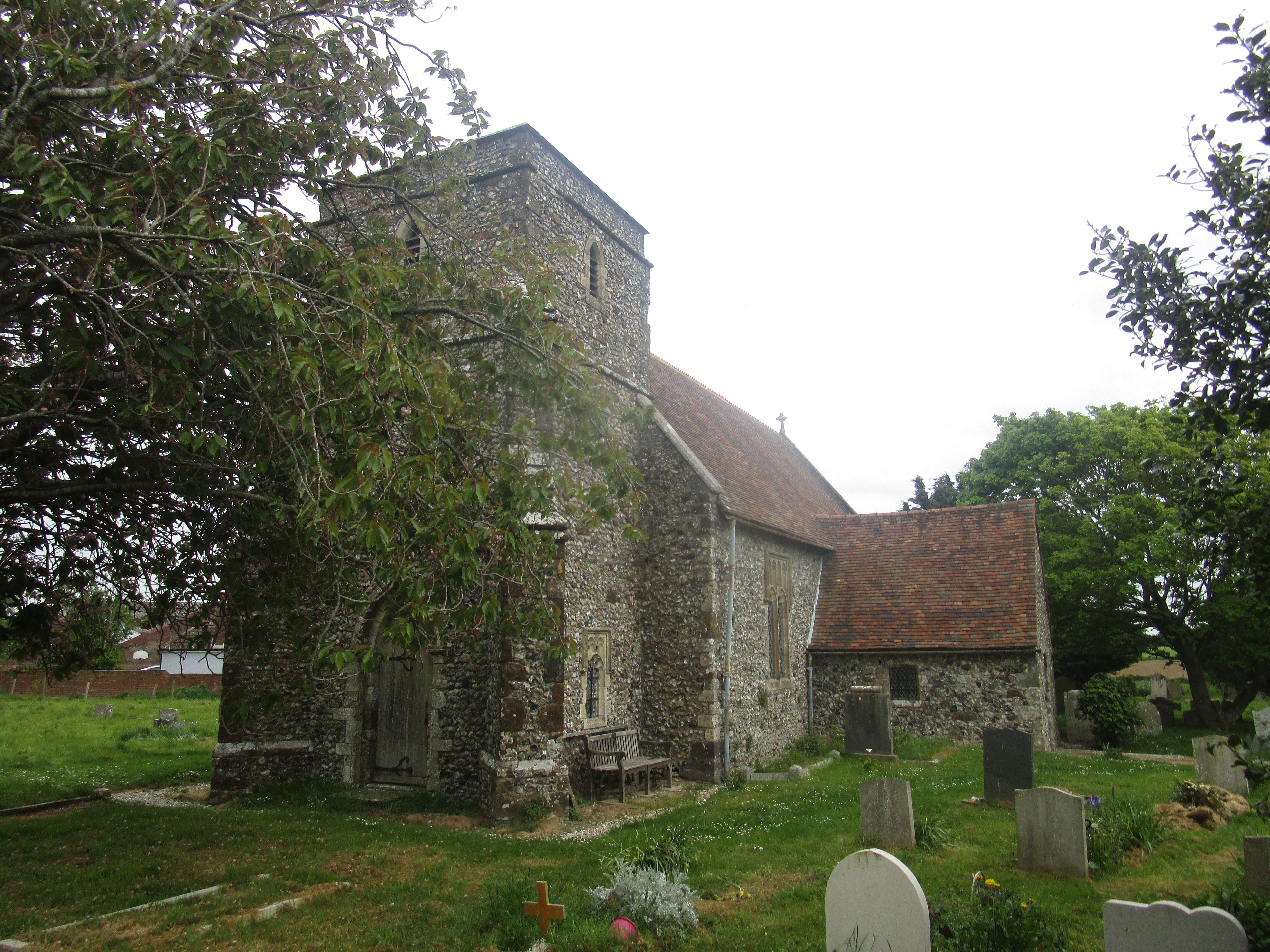
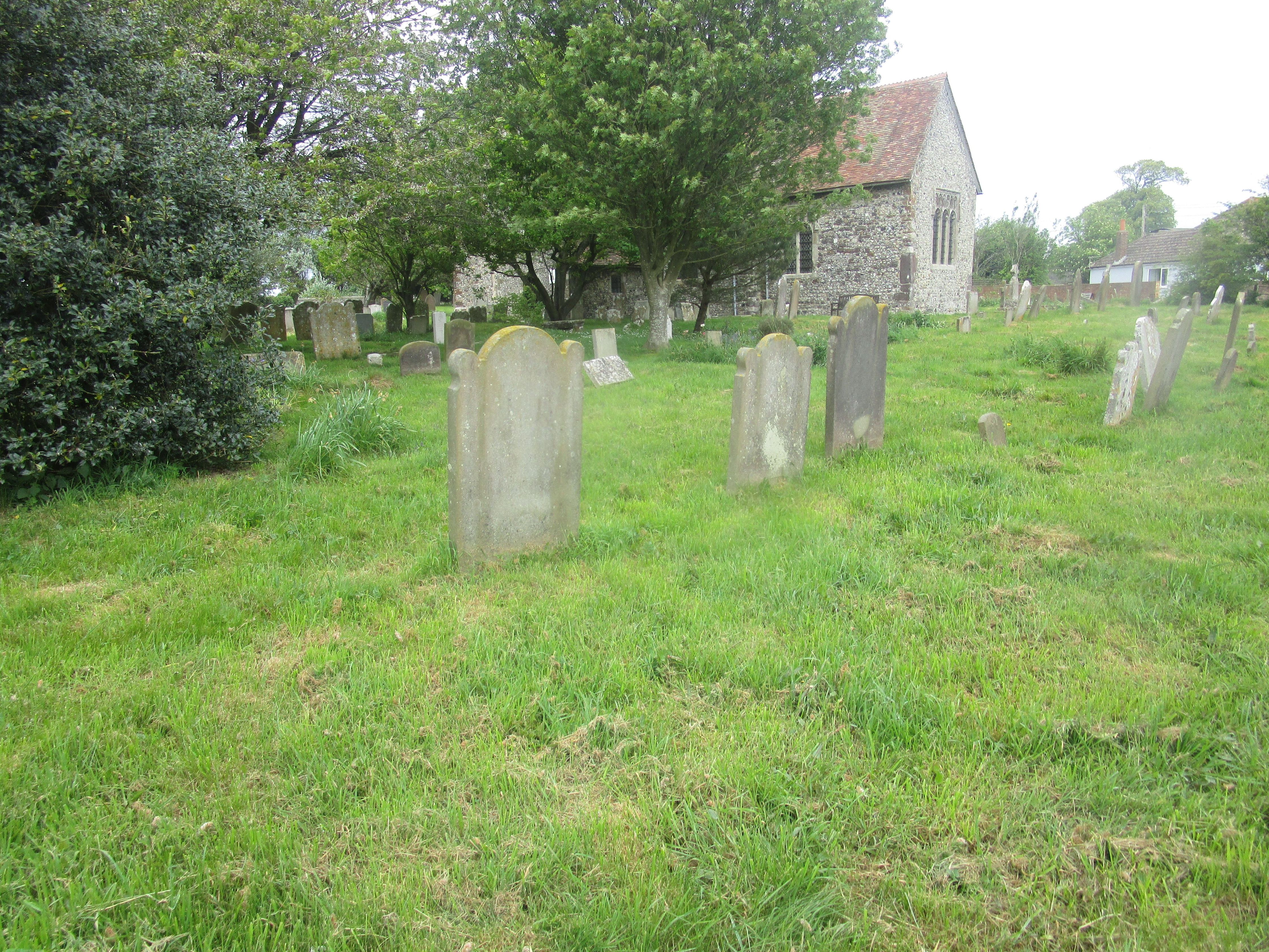
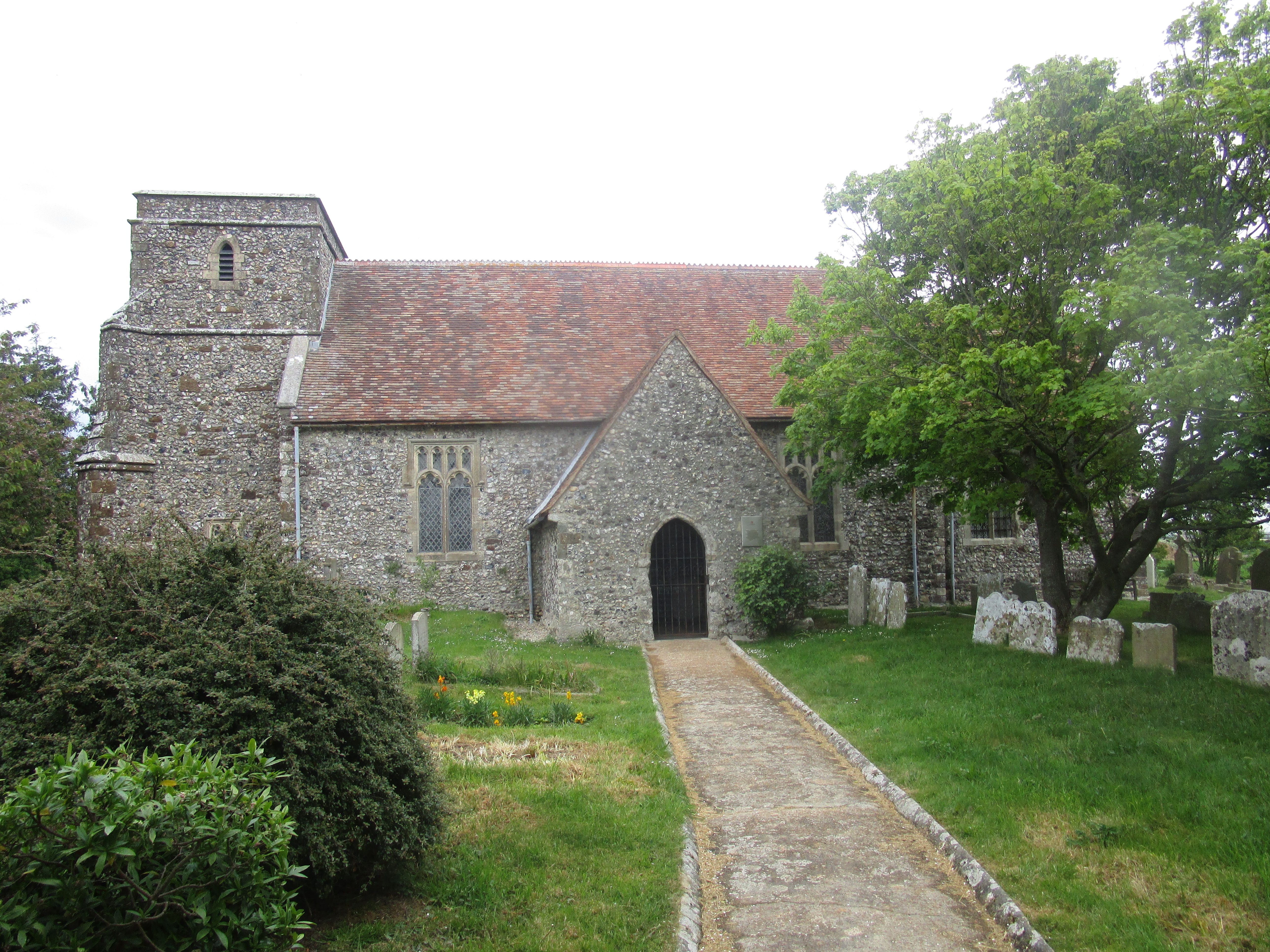
| Description | : | Redundant Anglican 12th Century Church to the North East of the village of Capel Le Ferne in Kent England. Grade I listed building which is under the care of the Churches Conservation Trust. |
frequently asked questions (FAQ):
-
Where is St. Mary's Churchyard?
St. Mary's Churchyard is located at Capel Church Road Capel-le-Ferne, Dover District ,Kent , CT18 7EXEngland.
-
St. Mary's Churchyard cemetery's updated grave count on graveviews.com?
14 memorials
-
Where are the coordinates of the St. Mary's Churchyard?
Latitude: 51.1149650
Longitude: 1.2235540
Nearby Cemetories:
1. St Laurence the Martyr Churchyard
Church Hougham, Dover District, England
Coordinate: 51.1137180, 1.2536650
2. National Battle of Britain Memorial
Capel-le-Ferne, Dover District, England
Coordinate: 51.0984880, 1.2059130
3. St Anthony Churchyard
Alkham, Dover District, England
Coordinate: 51.1360930, 1.2226440
4. St Michael the Archangel Churchyard
Hawkinge, Shepway District, England
Coordinate: 51.1130600, 1.1819210
5. St. Peter's Church Cemetery
Swingfield, Shepway District, England
Coordinate: 51.1464500, 1.1908500
6. Folkestone Friends Burial Ground
Folkestone, Shepway District, England
Coordinate: 51.0825560, 1.1856030
7. St Peter Churchyard
Folkestone, Shepway District, England
Coordinate: 51.0813050, 1.1882080
8. Hawkinge Cemetery and Crematorium
Hawkinge, Shepway District, England
Coordinate: 51.1163710, 1.1578030
9. St John the Baptist Churchyard
Folkestone, Shepway District, England
Coordinate: 51.0858580, 1.1760900
10. St Michael & All Angels Churchyard
Folkestone, Shepway District, England
Coordinate: 51.0821600, 1.1820300
11. Bradstone Baptist Burial Ground
Folkestone, Shepway District, England
Coordinate: 51.0830220, 1.1803570
12. St Peter and St Paul Churchyard
River, Dover District, England
Coordinate: 51.1447480, 1.2733710
13. St. Mary and St. Eanswythe Churchyard
Folkestone, Shepway District, England
Coordinate: 51.0787740, 1.1817510
14. St. Peter and St. Paul's Churchyard
Temple Ewell, Dover District, England
Coordinate: 51.1515565, 1.2675213
15. Christ Church Graveyard
Folkestone, Shepway District, England
Coordinate: 51.0776520, 1.1735470
16. Cheriton Road Cemetery
Folkestone, Shepway District, England
Coordinate: 51.0846000, 1.1615100
17. St Andrew Churchyard
Buckland, Dover District, England
Coordinate: 51.1373749, 1.2937800
18. Saint Mary the Virgin Churchyard
Lydden, Dover District, England
Coordinate: 51.1658200, 1.2373050
19. Holy Trinity Church
Folkestone, Shepway District, England
Coordinate: 51.0767190, 1.1674100
20. Dover Priory (Defunct)
Dover, Dover District, England
Coordinate: 51.1258370, 1.3053770
21. St Peter and St Paul Churchyard
Dover, Dover District, England
Coordinate: 51.1331673, 1.3062360
22. Cowgate Cemetery
Dover, Dover District, England
Coordinate: 51.1237970, 1.3101560
23. Dover War Memorial
Dover, Dover District, England
Coordinate: 51.1277847, 1.3091190
24. St. Oswald's Churchyard
Paddlesworth, Shepway District, England
Coordinate: 51.1149760, 1.1348910