
| Memorials | : | 15 |
| Location | : | Titchfield, Fareham Borough, England |
| Coordinate | : | 50.8490620, -1.2330780 |
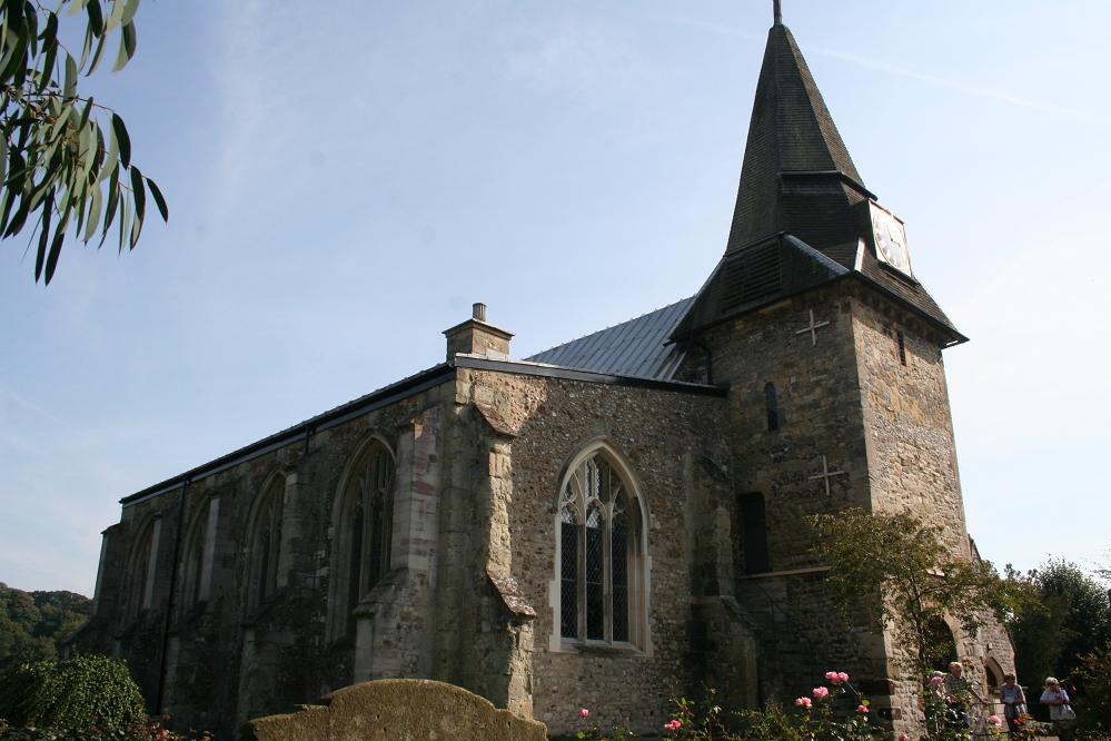
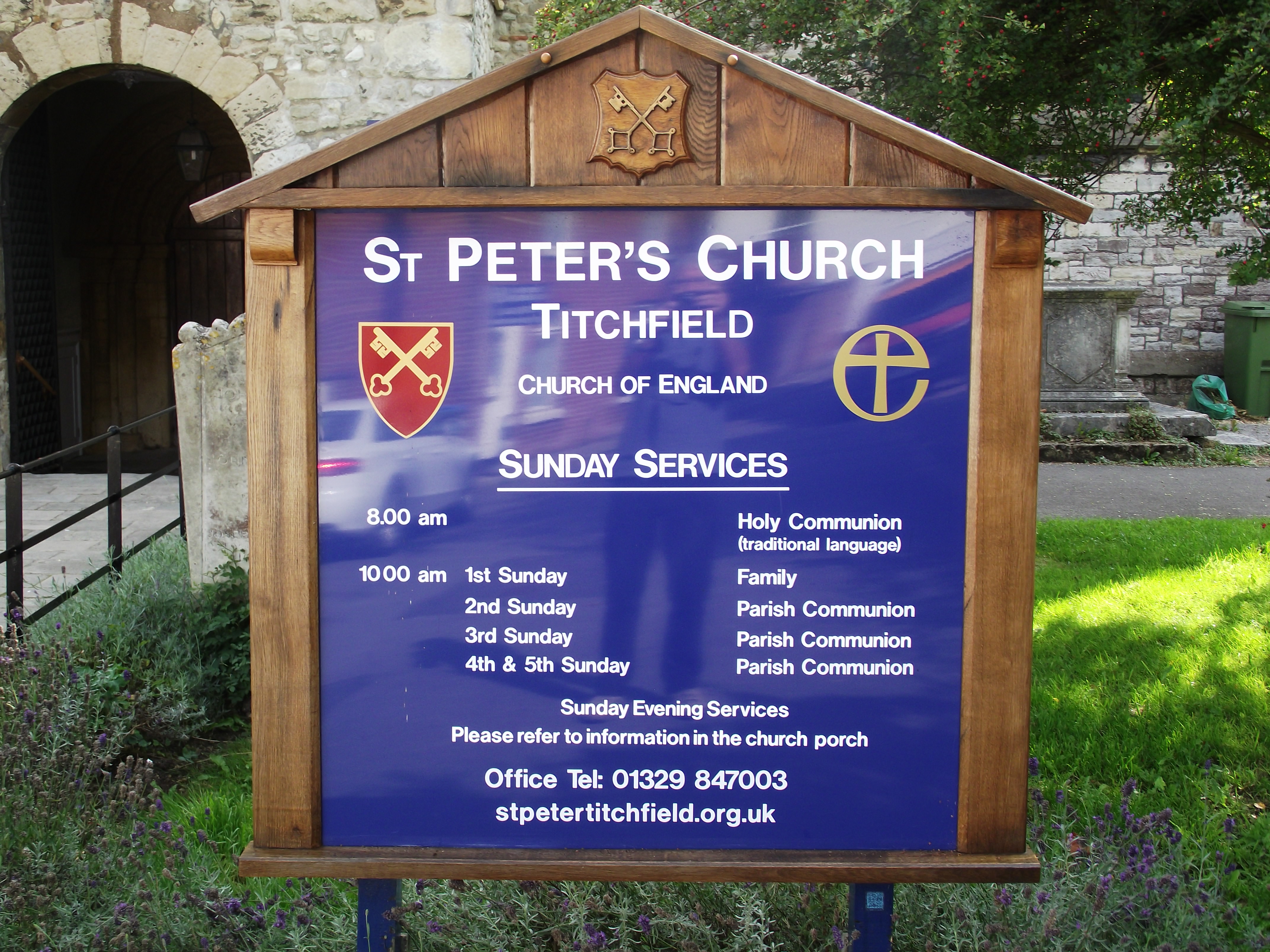
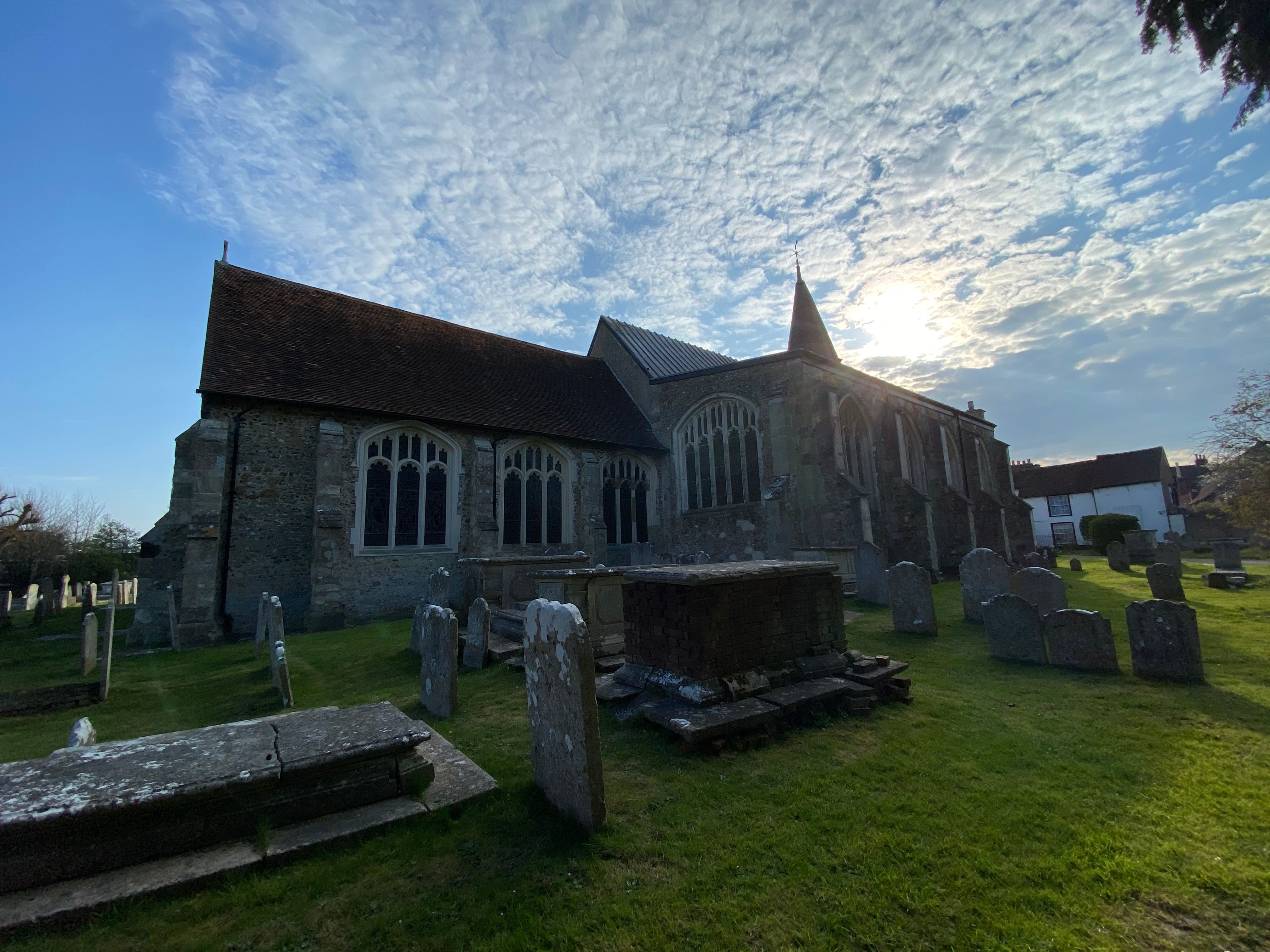
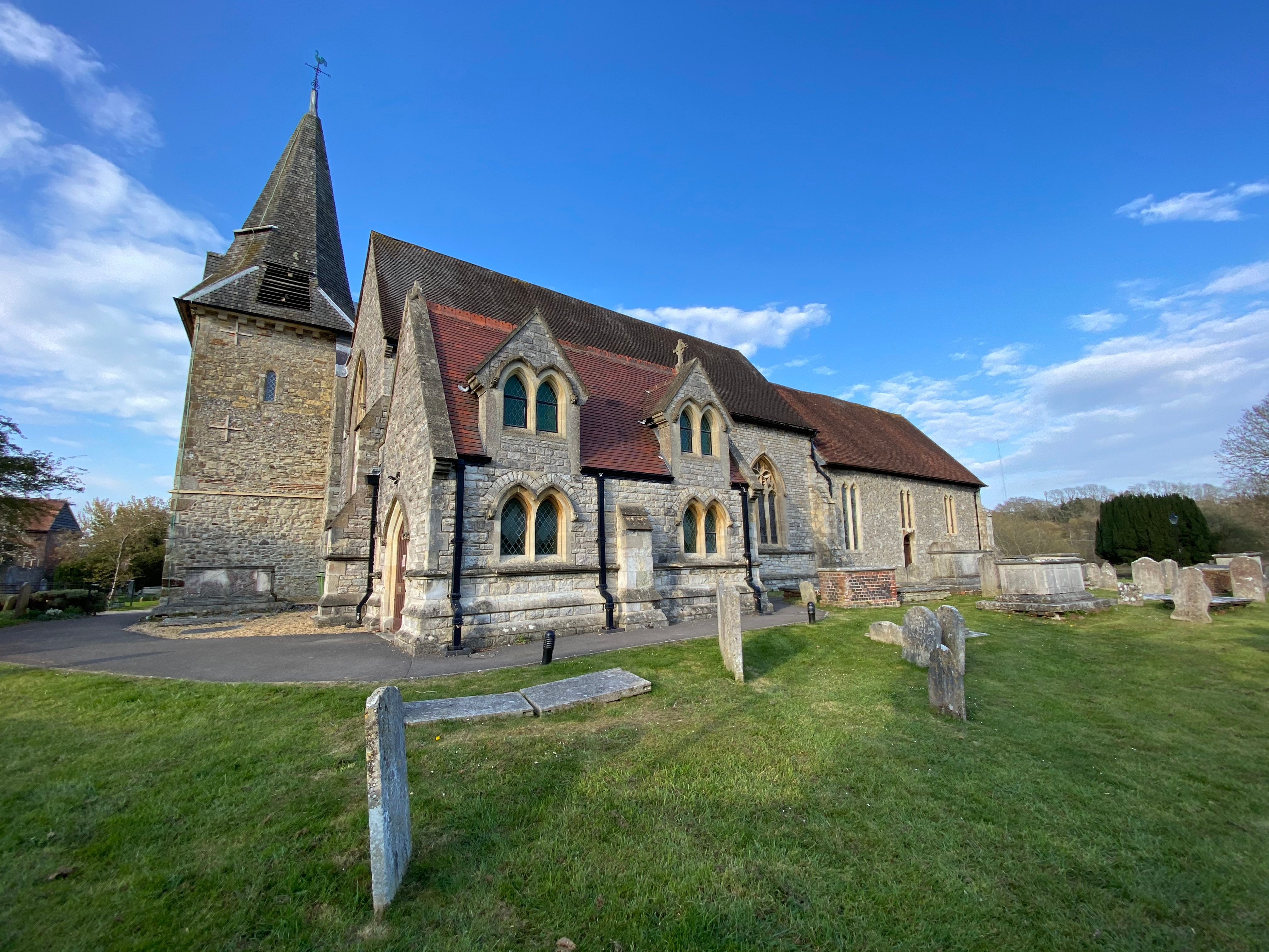
| Description | : | St Peter's Church, Titchfield, was established in about 680 making it one of the oldest used churches in England. Though only a few parts of the original structure survive, the church contains a mixture of building styles, since it was expanded and redeveloped to include additional space. |
frequently asked questions (FAQ):
-
Where is St. Peter's Churchyard?
St. Peter's Churchyard is located at Titchfield, Fareham Borough ,Hampshire ,England.
-
St. Peter's Churchyard cemetery's updated grave count on graveviews.com?
15 memorials
-
Where are the coordinates of the St. Peter's Churchyard?
Latitude: 50.8490620
Longitude: -1.2330780
Nearby Cemetories:
1. Posbrook Lane Cemetery
Titchfield, Fareham Borough, England
Coordinate: 50.8463100, -1.2403000
2. Crofton Cemetery
Stubbington, Fareham Borough, England
Coordinate: 50.8364160, -1.2173260
3. St Edmund Churchyard
Stubbington, Fareham Borough, England
Coordinate: 50.8345130, -1.2185160
4. Crofton Old Churchyard
Stubbington, Fareham Borough, England
Coordinate: 50.8344830, -1.2183660
5. St John's Cemetery
Locks Heath, Fareham Borough, England
Coordinate: 50.8608400, -1.2651570
6. Holy Trinity Churchyard
Fareham, Fareham Borough, England
Coordinate: 50.8522480, -1.1834370
7. Fareham Cemetery
Fareham, Fareham Borough, England
Coordinate: 50.8623050, -1.1795840
8. St Mary Churchyard
Warsash, Fareham Borough, England
Coordinate: 50.8473220, -1.2910610
9. St. Peter and St. Paul Churchyard
Fareham, Fareham Borough, England
Coordinate: 50.8556300, -1.1753200
10. Holly Hill Cemetery
Sarisbury, Fareham Borough, England
Coordinate: 50.8678930, -1.2888890
11. Knowle Hospital Cemetery
Fareham, Fareham Borough, England
Coordinate: 50.8849120, -1.2043980
12. St Paul Churchyard
Sarisbury, Fareham Borough, England
Coordinate: 50.8756100, -1.2870670
13. Lee-On-Solent Memorial
Lee-on-the-Solent, Gosport Borough, England
Coordinate: 50.8045110, -1.2068440
14. St Mary the Virgin Churchyard
Gosport, Gosport Borough, England
Coordinate: 50.8112690, -1.1724800
15. St Andrew the Apostle Churchyard
Hamble-le-Rice, Eastleigh Borough, England
Coordinate: 50.8589100, -1.3179090
16. St. Leonard Churchyard
Bursledon, Eastleigh Borough, England
Coordinate: 50.8850230, -1.3068370
17. St Nicholas Churchyard
Wickham, City of Winchester, England
Coordinate: 50.8994865, -1.1827040
18. Portchester Crematorium Gardens
Portchester, Fareham Borough, England
Coordinate: 50.8499680, -1.1382190
19. St. Nicholas' Churchyard
Boarhunt, City of Winchester, England
Coordinate: 50.8709800, -1.1442000
20. St Bartholomew Churchyard
Botley, Eastleigh Borough, England
Coordinate: 50.9048000, -1.2754000
21. St Thomas the Apostle Churchyard
Gosport, Gosport Borough, England
Coordinate: 50.8137570, -1.1484570
22. Netley Military Cemetery
Netley, Eastleigh Borough, England
Coordinate: 50.8682632, -1.3317170
23. St Mary the Virgin Churchyard
Hound, Eastleigh Borough, England
Coordinate: 50.8762820, -1.3322160
24. St. John the Baptist Churchyard
Shedfield, City of Winchester, England
Coordinate: 50.9161100, -1.2023900