
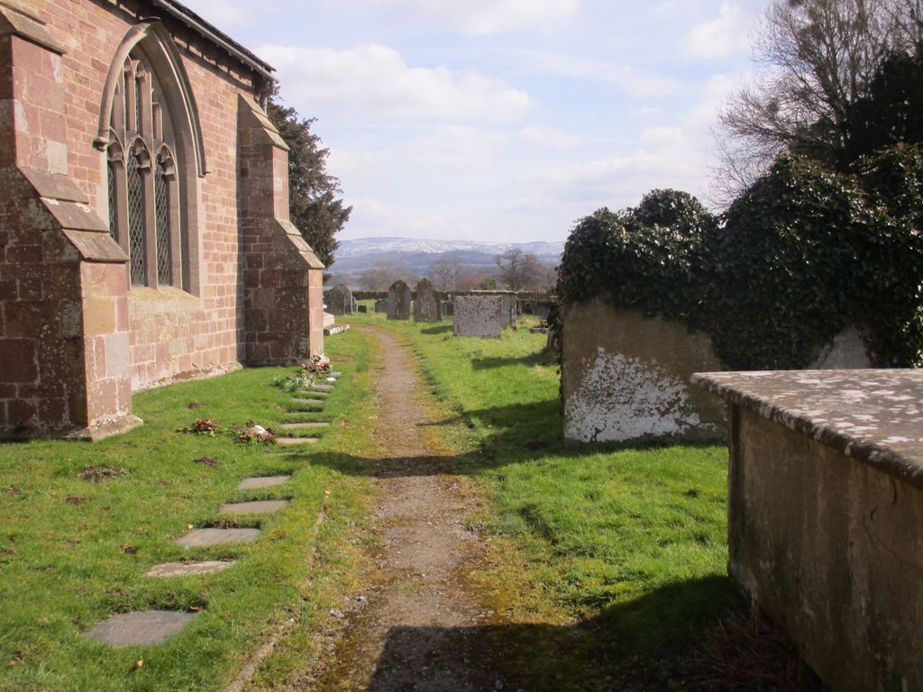
| Memorials | : | 3 |
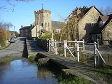
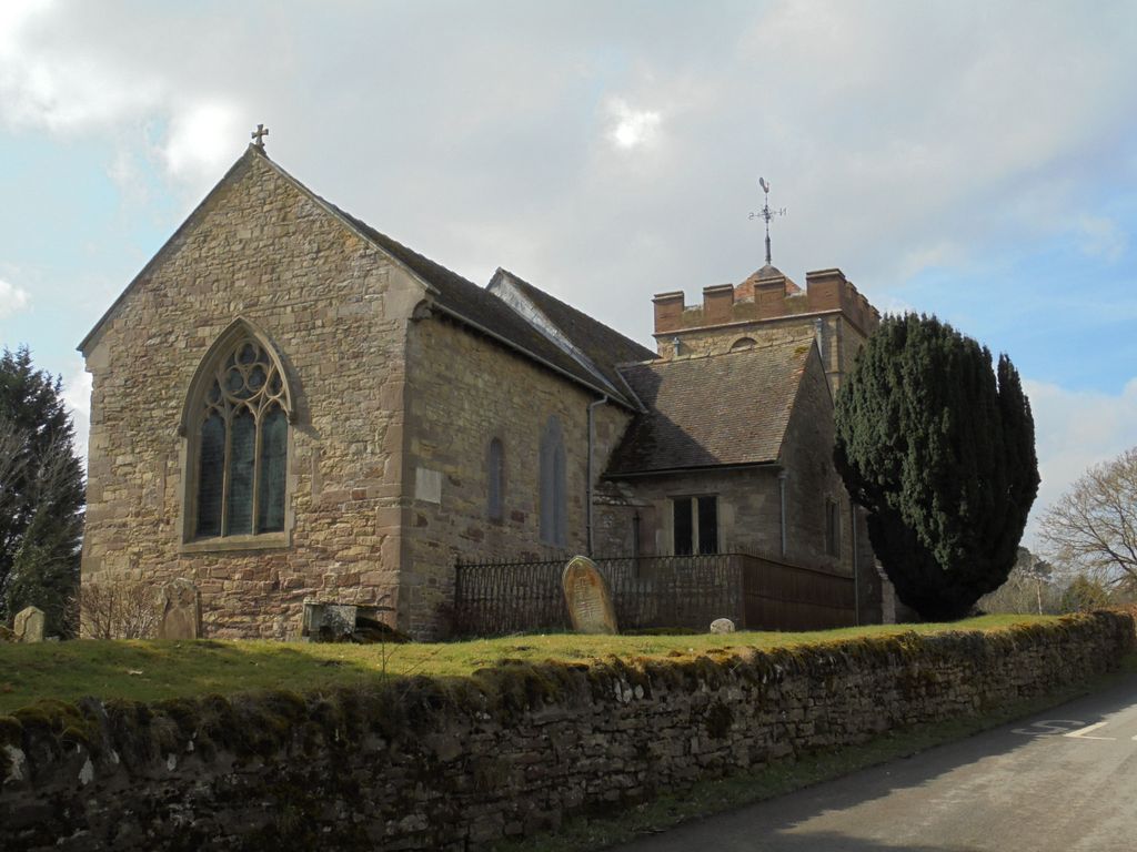
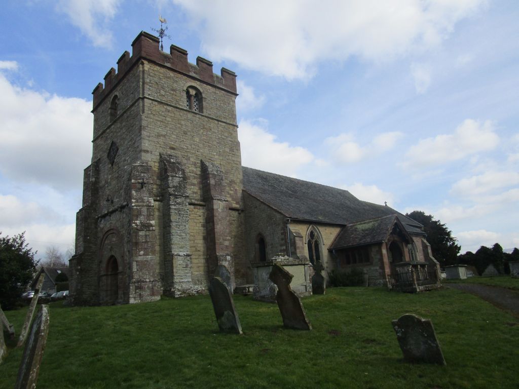
| Location | : | Diddlebury, Shropshire Unitary Authority, England |
| Coordinate | : | 52.4640570, -2.7249740 |
frequently asked questions (FAQ):
-
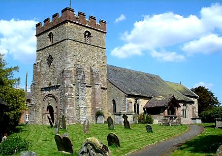
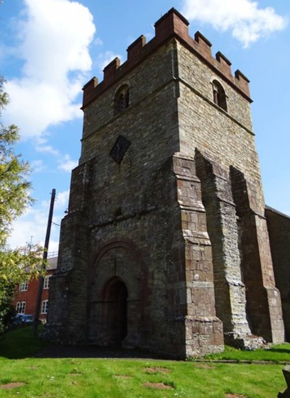
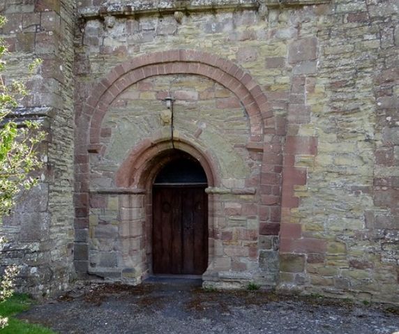
Where is St. Peter's Churchyard?
St. Peter's Churchyard is located at Mill Lane Diddlebury, Shropshire Unitary Authority ,Shropshire , SY7 9DHEngland.
-
St. Peter's Churchyard cemetery's updated grave count on graveviews.com?
3 memorials
-
Where are the coordinates of the St. Peter's Churchyard?
Latitude: 52.4640570
Longitude: -2.7249740
Nearby Cemetories:
1. All Saints Churchyard
Culmington, Shropshire Unitary Authority, England
Coordinate: 52.4334800, -2.7463500
2. Westhope Chapel Burial Ground
Diddlebury, Shropshire Unitary Authority, England
Coordinate: 52.4714690, -2.7818850
3. Eaton- under- Heywood St Edith
Eaton-under-Heywood, Shropshire Unitary Authority, England
Coordinate: 52.5056520, -2.7382880
4. Clee St. Margaret Churchyard
Clee St Margaret, Shropshire Unitary Authority, England
Coordinate: 52.4554270, -2.6423086
5. Holy Trinity Churchyard
Holdgate, Shropshire Unitary Authority, England
Coordinate: 52.5024450, -2.6471900
6. St. Margaret's Churchyard
Abdon, Shropshire Unitary Authority, England
Coordinate: 52.4757240, -2.6265660
7. St Margaret's Churchyard
Acton Scott, Shropshire Unitary Authority, England
Coordinate: 52.5001670, -2.8060920
8. St. Thomas' Churchyard
Craven Arms, Shropshire Unitary Authority, England
Coordinate: 52.4450630, -2.8306870
9. St. Andrew's Churchyard
Hope Bowdler, Shropshire Unitary Authority, England
Coordinate: 52.5271160, -2.7739830
10. St. Mary the Virgin Churchyard
Bromfield, Shropshire Unitary Authority, England
Coordinate: 52.3873900, -2.7636700
11. Blackford Chapel Burial Ground
Blackford, Shropshire Unitary Authority, England
Coordinate: 52.4437470, -2.5930900
12. Greenhills Cemetery
Church Stretton, Shropshire Unitary Authority, England
Coordinate: 52.5310170, -2.8142480
13. St. James's Churchyard
Cardington, Shropshire Unitary Authority, England
Coordinate: 52.5520200, -2.7296220
14. Church Stretton Cemetery
Church Stretton, Shropshire Unitary Authority, England
Coordinate: 52.5365590, -2.8097950
15. St Laurence Churchyard
Church Stretton, Shropshire Unitary Authority, England
Coordinate: 52.5381750, -2.8087400
16. St. Mary's Churchyard
Bitterley, Shropshire Unitary Authority, England
Coordinate: 52.3922280, -2.6319790
17. St. John The Baptist Churchyard
Ditton Priors, Shropshire Unitary Authority, England
Coordinate: 52.4990090, -2.5784720
18. St Laurence Churchyard
Burwarton, Shropshire Unitary Authority, England
Coordinate: 52.4611160, -2.5637380
19. St Peter's Churchyard
Easthope, Shropshire Unitary Authority, England
Coordinate: 52.5522350, -2.6413020
20. St. Peter and St. Paul Churchyard
Cleobury North, Shropshire Unitary Authority, England
Coordinate: 52.4796420, -2.5562440
21. Knowbury, St Paul
Caynham, Shropshire Unitary Authority, England
Coordinate: 52.3734750, -2.6300130
22. St Marys Churchyard
Hopesay, Shropshire Unitary Authority, England
Coordinate: 52.4440470, -2.8999020
23. St Michael Churchyard
Edgton, Shropshire Unitary Authority, England
Coordinate: 52.4660500, -2.9044570
24. St. Michael's Churchyard
Aston Botterell, Shropshire Unitary Authority, England
Coordinate: 52.4537240, -2.5422030