
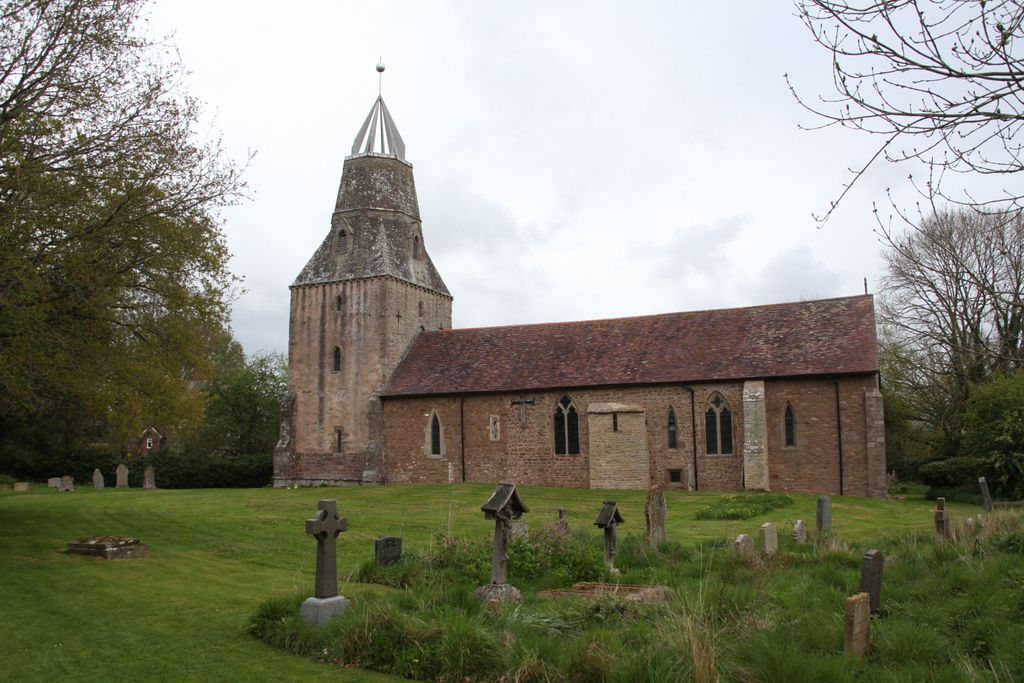
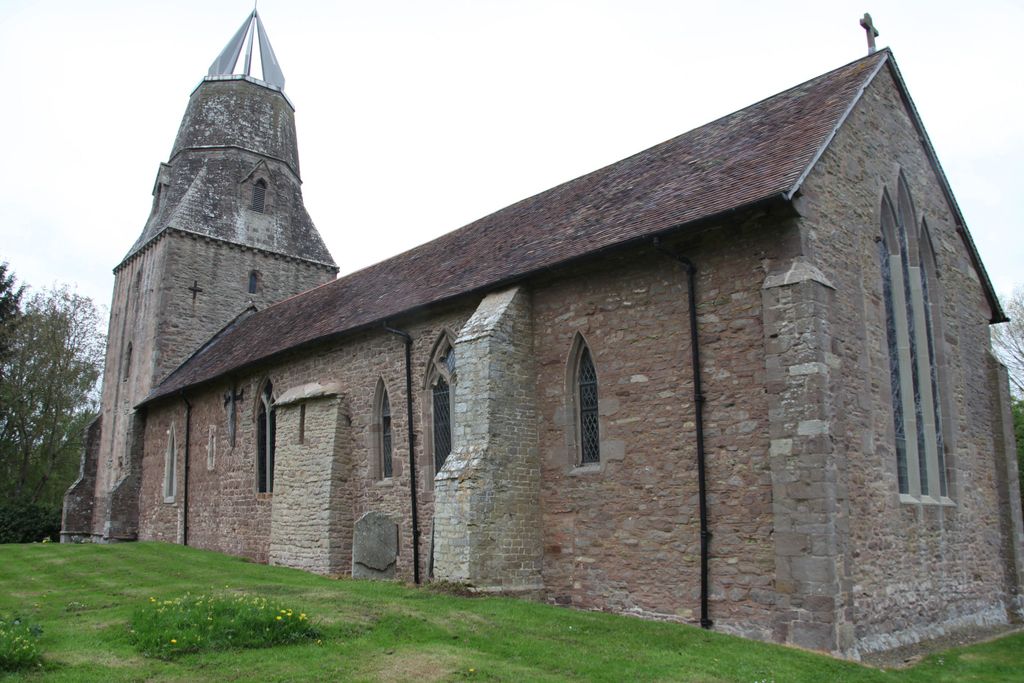
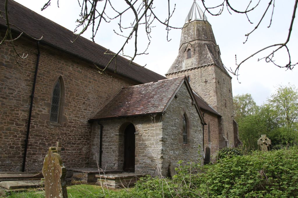
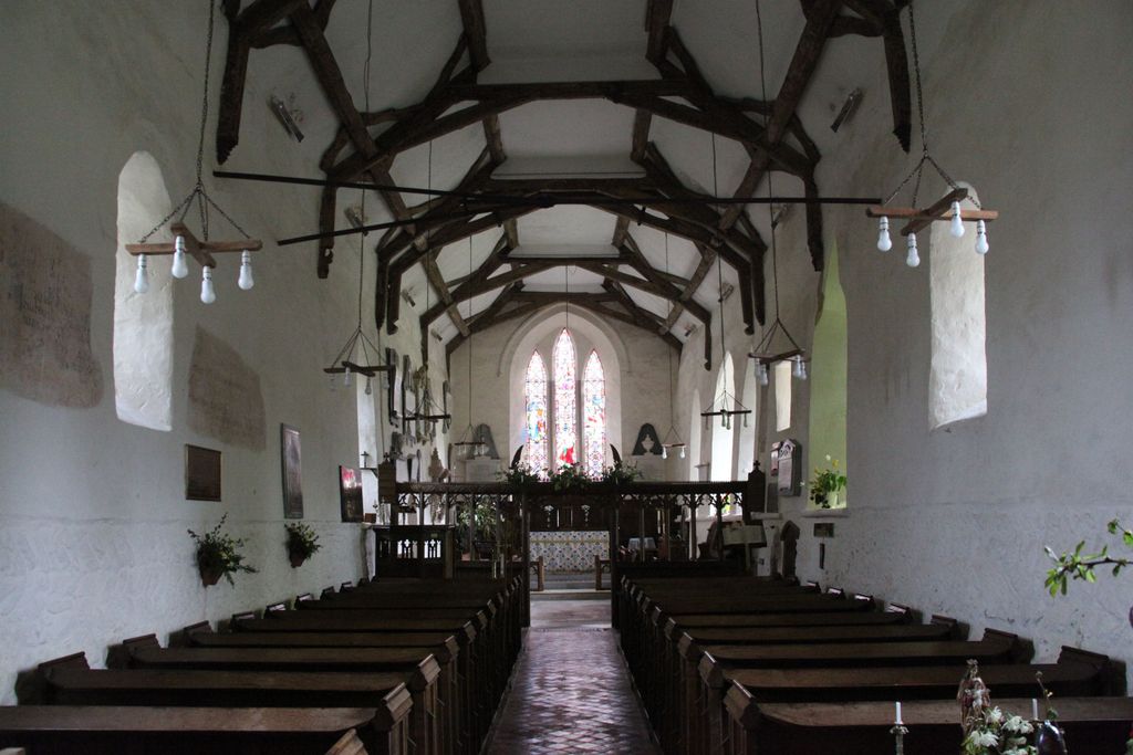
| Memorials | : | 1 |
| Location | : | Culmington, Shropshire Unitary Authority, England |
| Coordinate | : | 52.4334800, -2.7463500 |
frequently asked questions (FAQ):
-
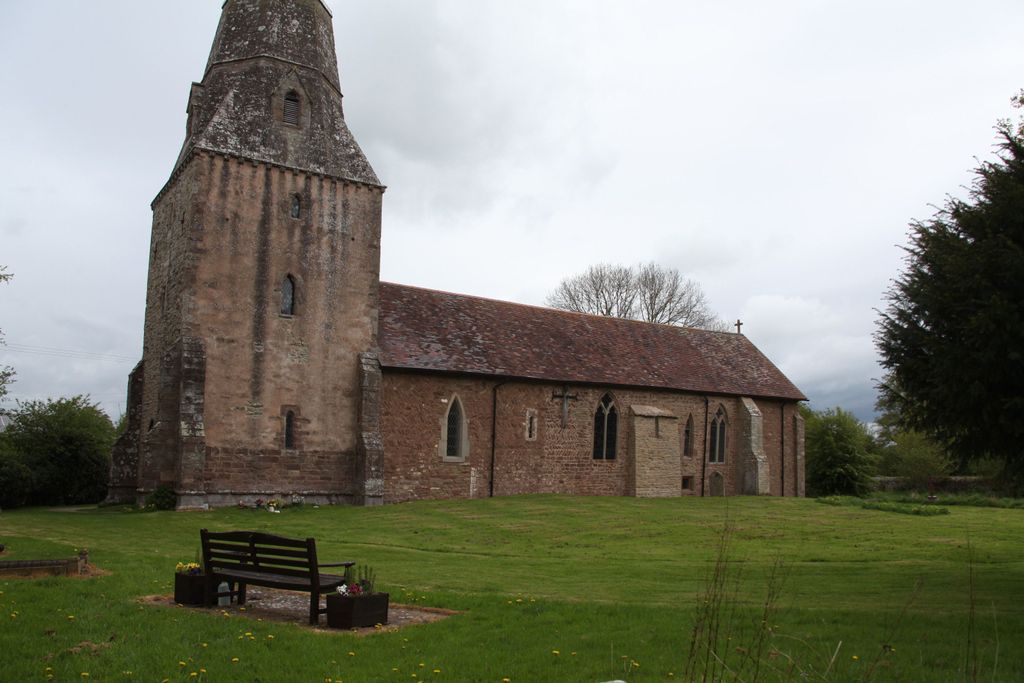
Where is All Saints Churchyard?
All Saints Churchyard is located at Culmington, Shropshire Unitary Authority ,Shropshire ,England.
-
All Saints Churchyard cemetery's updated grave count on graveviews.com?
1 memorials
-
Where are the coordinates of the All Saints Churchyard?
Latitude: 52.4334800
Longitude: -2.7463500
Nearby Cemetories:
1. St. Peter's Churchyard
Diddlebury, Shropshire Unitary Authority, England
Coordinate: 52.4640570, -2.7249740
2. Westhope Chapel Burial Ground
Diddlebury, Shropshire Unitary Authority, England
Coordinate: 52.4714690, -2.7818850
3. St. Mary the Virgin Churchyard
Bromfield, Shropshire Unitary Authority, England
Coordinate: 52.3873900, -2.7636700
4. St. Thomas' Churchyard
Craven Arms, Shropshire Unitary Authority, England
Coordinate: 52.4450630, -2.8306870
5. Clee St. Margaret Churchyard
Clee St Margaret, Shropshire Unitary Authority, England
Coordinate: 52.4554270, -2.6423086
6. Eaton- under- Heywood St Edith
Eaton-under-Heywood, Shropshire Unitary Authority, England
Coordinate: 52.5056520, -2.7382880
7. St Margaret's Churchyard
Acton Scott, Shropshire Unitary Authority, England
Coordinate: 52.5001670, -2.8060920
8. St. Mary's Churchyard
Bitterley, Shropshire Unitary Authority, England
Coordinate: 52.3922280, -2.6319790
9. St. Margaret's Churchyard
Abdon, Shropshire Unitary Authority, England
Coordinate: 52.4757240, -2.6265660
10. Holy Trinity Churchyard
Holdgate, Shropshire Unitary Authority, England
Coordinate: 52.5024450, -2.6471900
11. Knowbury, St Paul
Caynham, Shropshire Unitary Authority, England
Coordinate: 52.3734750, -2.6300130
12. St Cuthbert Churchyard
Clungunford, Shropshire Unitary Authority, England
Coordinate: 52.4032350, -2.8909360
13. Blackford Chapel Burial Ground
Blackford, Shropshire Unitary Authority, England
Coordinate: 52.4437470, -2.5930900
14. St Marys Churchyard
Hopesay, Shropshire Unitary Authority, England
Coordinate: 52.4440470, -2.8999020
15. St. Mary's Churchyard
Caynham, Shropshire Unitary Authority, England
Coordinate: 52.3558260, -2.6564540
16. St. Andrew's Churchyard
Hope Bowdler, Shropshire Unitary Authority, England
Coordinate: 52.5271160, -2.7739830
17. St. George's Churchyard
Burrington, Herefordshire Unitary Authority, England
Coordinate: 52.3440700, -2.8200100
18. St Michael Churchyard
Edgton, Shropshire Unitary Authority, England
Coordinate: 52.4660500, -2.9044570
19. St. Mary the Virgin Churchyard
Elton, Shropshire Unitary Authority, England
Coordinate: 52.3345972, -2.7969324
20. St. Andrew, Ashford Bowdler.
Ashford Bowdler, Shropshire Unitary Authority, England
Coordinate: 52.3308770, -2.7065930
21. Greenhills Cemetery
Church Stretton, Shropshire Unitary Authority, England
Coordinate: 52.5310170, -2.8142480
22. Church Stretton Cemetery
Church Stretton, Shropshire Unitary Authority, England
Coordinate: 52.5365590, -2.8097950
23. St. Swithin Churchyard
Clunbury, Shropshire Unitary Authority, England
Coordinate: 52.4201670, -2.9261080
24. St Laurence Churchyard
Church Stretton, Shropshire Unitary Authority, England
Coordinate: 52.5381750, -2.8087400