
| Memorials | : | 0 |
| Location | : | Maperton, South Somerset District, England |
| Coordinate | : | 51.0335993, -2.4686628 |
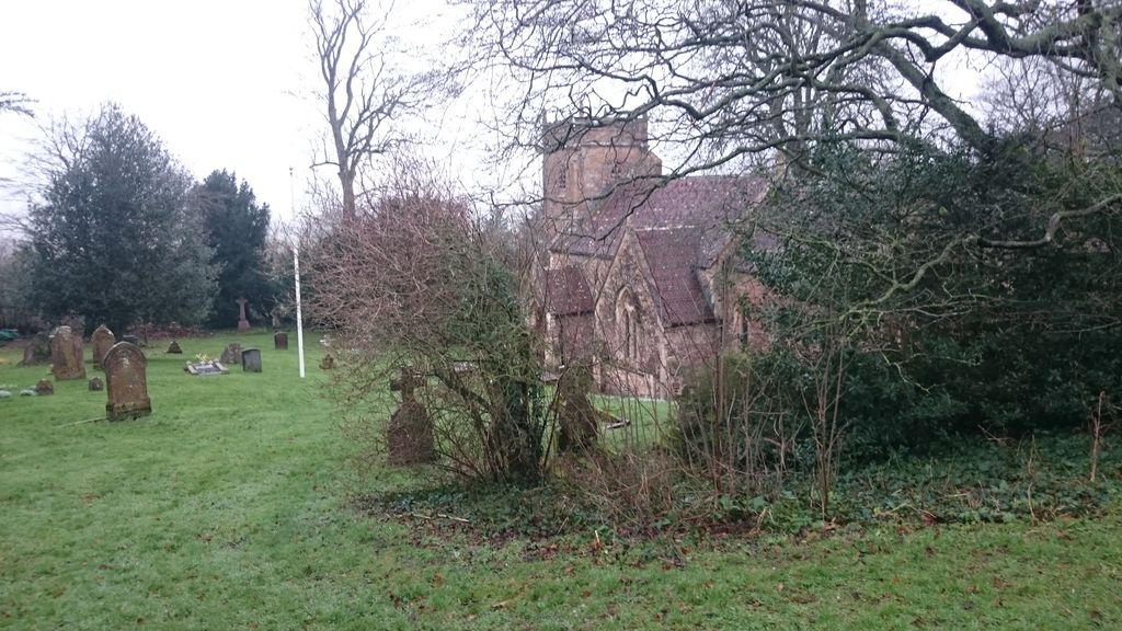
| Description | : | There has been a place of worship on this site since the 9th century. The Church of St Peter and St Paul has a tower dating from the late 15th century. The church originally had a thatched roof, and after a disastrous fire in 1849, the church had a new roof of slate tiles fitted. Over the next few years various works were carried out to patch up the building, but by the late 1860's it became clear that the building was in very bad condition and it was decided to demolish much of the building except the 15th century tower,... Read More |
frequently asked questions (FAQ):
-
Where is St. Peter & St. Paul Churchyard?
St. Peter & St. Paul Churchyard is located at Maperton, South Somerset District ,Somerset , BA9 8EJEngland.
-
St. Peter & St. Paul Churchyard cemetery's updated grave count on graveviews.com?
0 memorials
-
Where are the coordinates of the St. Peter & St. Paul Churchyard?
Latitude: 51.0335993
Longitude: -2.4686628
Nearby Cemetories:
1. St. Michael's Churchyard
Blackford, South Somerset District, England
Coordinate: 51.0336960, -2.4892290
2. Saint Nicholas Churchyard
Holton, South Somerset District, England
Coordinate: 51.0401280, -2.4502641
3. Saint John the Baptist Churchyard
North Cheriton, South Somerset District, England
Coordinate: 51.0309000, -2.4474000
4. North Cheriton Cemetery
North Cheriton, South Somerset District, England
Coordinate: 51.0284840, -2.4389150
5. Blessed Virgin Mary Churchyard
Compton Pauncefoot, South Somerset District, England
Coordinate: 51.0336770, -2.5089430
6. Saint Peter & Saint Paul Churchyard
Charlton Horethorne, South Somerset District, England
Coordinate: 51.0060200, -2.4790100
7. St Michael Churchyard
North Cadbury, South Somerset District, England
Coordinate: 51.0416670, -2.5213610
8. St. Nicholas' Churchyard
Bratton Seymour, South Somerset District, England
Coordinate: 51.0679406, -2.4625400
9. Saint John's Churchyard
Horsington, South Somerset District, England
Coordinate: 51.0126300, -2.4238400
10. Corton Denham Cemetery
Corton Denham, South Somerset District, England
Coordinate: 51.0015810, -2.5202380
11. Saint Andrew Churchyard
Corton Denham, South Somerset District, England
Coordinate: 51.0015790, -2.5203100
12. Saint Stephen Churchyard
Charlton Musgrove, South Somerset District, England
Coordinate: 51.0678630, -2.4008550
13. Castle Cary Cemetery
Castle Cary, South Somerset District, England
Coordinate: 51.0803800, -2.5223600
14. All Saints Churchyard
Poyntington, West Dorset District, England
Coordinate: 50.9782070, -2.4997530
15. St Leonard Churchyard and Extension
Pitcombe, South Somerset District, England
Coordinate: 51.0925600, -2.4684600
16. All Saints
Castle Cary, South Somerset District, England
Coordinate: 51.0865760, -2.5165400
17. St. Nicholas Churchyard
Sandford Orcas, West Dorset District, England
Coordinate: 50.9874190, -2.5394460
18. St Nicolas' Churchyard
North Barrow, South Somerset District, England
Coordinate: 51.0623705, -2.5605033
19. Milborne Port Cemetery
Milborne Port, South Somerset District, England
Coordinate: 50.9662940, -2.4605880
20. St. Mary the Virgin Churchyard
Rimpton, South Somerset District, England
Coordinate: 50.9947330, -2.5564860
21. St Andrew Churchyard
Ansford, South Somerset District, England
Coordinate: 51.0943350, -2.5180470
22. Milborne Port Churchyard
Milborne Port, South Somerset District, England
Coordinate: 50.9653900, -2.4621550
23. Saint Barnabas Churchyard
Queen Camel, South Somerset District, England
Coordinate: 51.0225850, -2.5759270
24. St Peter Churchyard
Redlynch, South Somerset District, England
Coordinate: 51.0983279, -2.4299457