
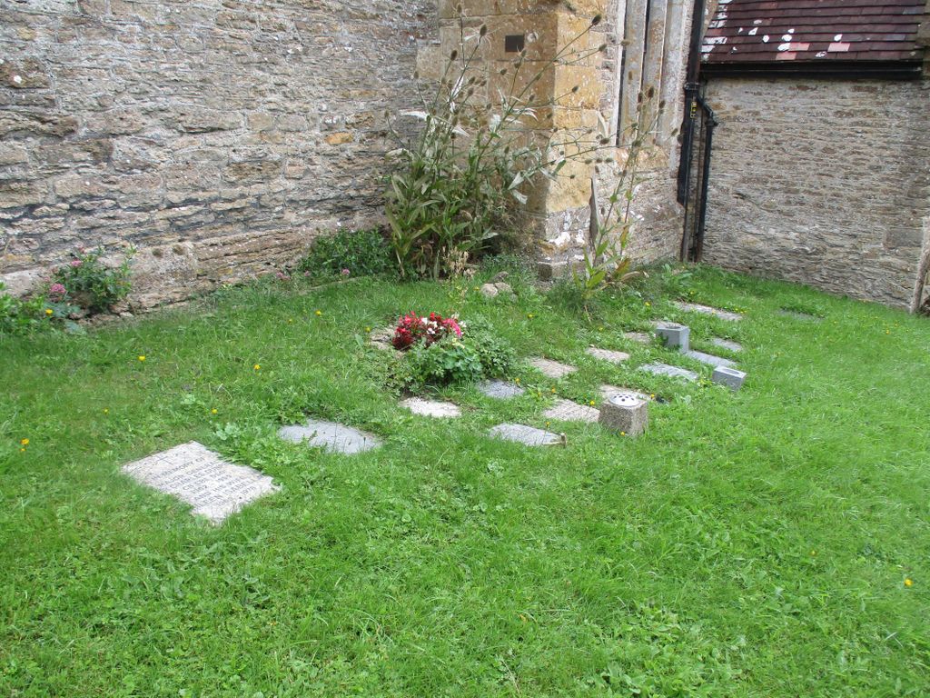
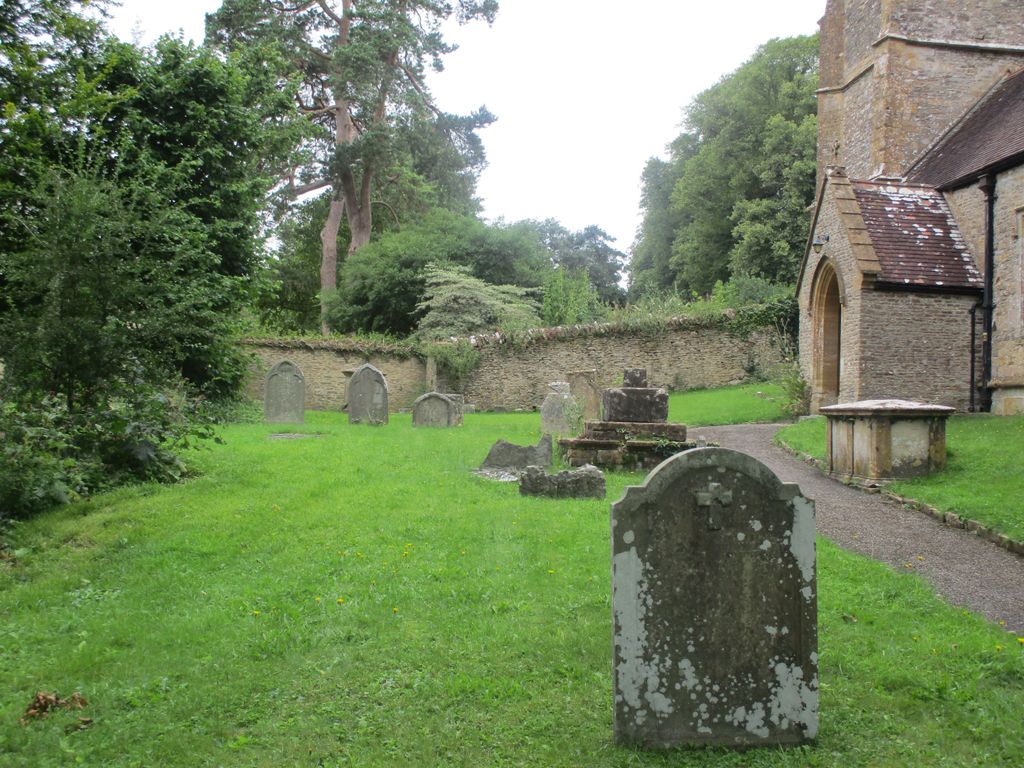
| Memorials | : | 66 |
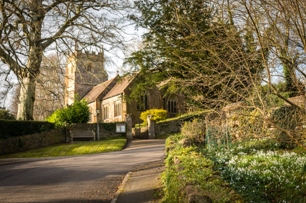
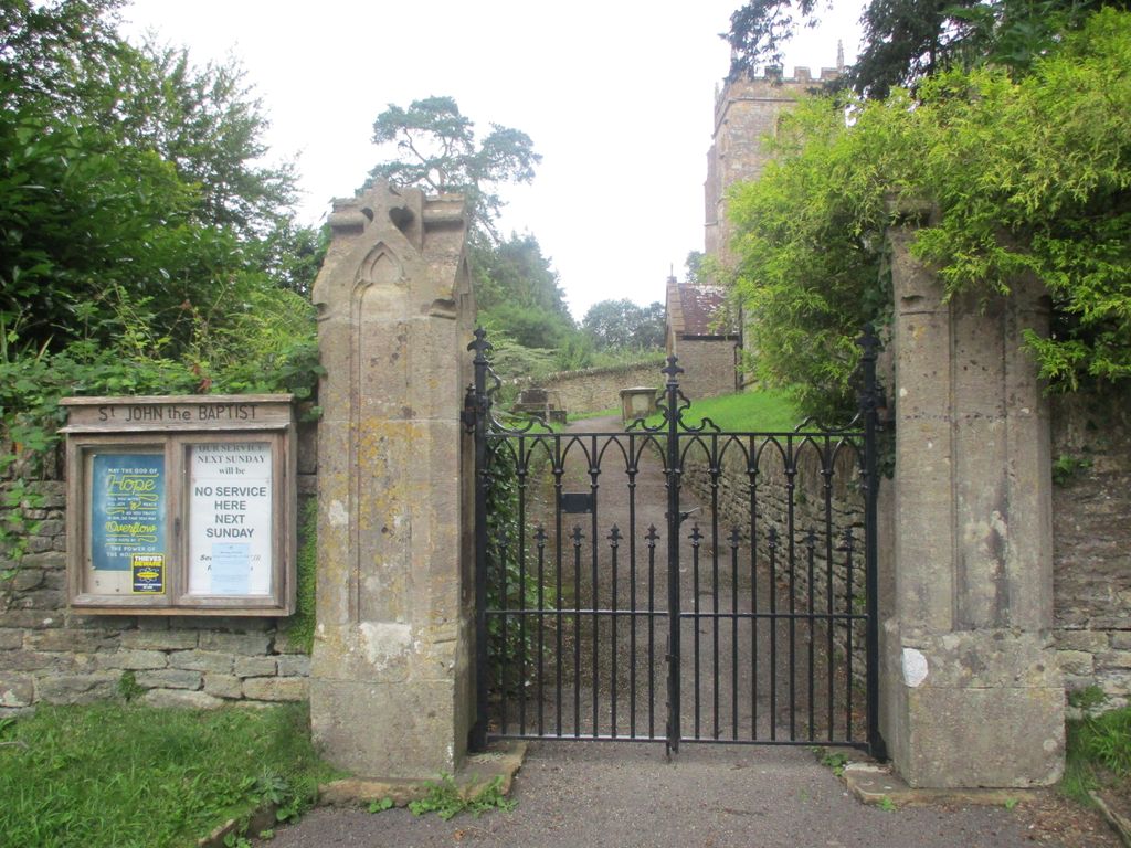
| Location | : | North Cheriton, South Somerset District, England |
| Coordinate | : | 51.0309000, -2.4474000 |
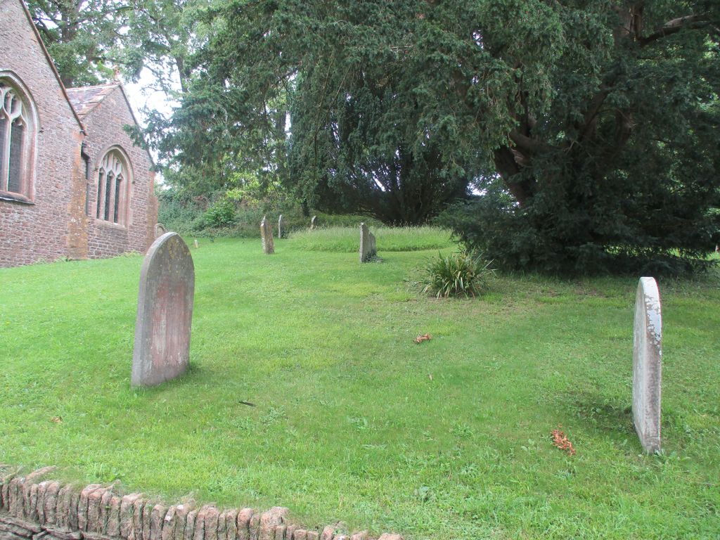
| Description | : | The Church was built in the 14th century. There are 19 Victorian restoration, which included rebuilding most of the fabric of the building. The parish is part of the Camelot Church benefices in the diocese of Bath and Wells. Architecture The stone building has hamstone dressings and clay tile roofs. It consists of a three-bay nave and two-bay chancel with a north aisle with attached organ chamber and vestry and a south porch. The two-stage tower is supported by corner buttresses and has survived from the 15th century. The tower has a peal of five bells. The interior... Read More |
frequently asked questions (FAQ):
-
Where is Saint John the Baptist Churchyard?
Saint John the Baptist Churchyard is located at North Cheriton, South Somerset District ,Somerset ,England.
-
Saint John the Baptist Churchyard cemetery's updated grave count on graveviews.com?
64 memorials
-
Where are the coordinates of the Saint John the Baptist Churchyard?
Latitude: 51.0309000
Longitude: -2.4474000
Nearby Cemetories:
1. North Cheriton Cemetery
North Cheriton, South Somerset District, England
Coordinate: 51.0284840, -2.4389150
2. Saint Nicholas Churchyard
Holton, South Somerset District, England
Coordinate: 51.0401280, -2.4502641
3. St. Peter & St. Paul Churchyard
Maperton, South Somerset District, England
Coordinate: 51.0335993, -2.4686628
4. Saint John's Churchyard
Horsington, South Somerset District, England
Coordinate: 51.0126300, -2.4238400
5. St. Michael's Churchyard
Blackford, South Somerset District, England
Coordinate: 51.0336960, -2.4892290
6. Saint Peter & Saint Paul Churchyard
Charlton Horethorne, South Somerset District, England
Coordinate: 51.0060200, -2.4790100
7. St. Nicholas' Churchyard
Bratton Seymour, South Somerset District, England
Coordinate: 51.0679406, -2.4625400
8. Blessed Virgin Mary Churchyard
Compton Pauncefoot, South Somerset District, England
Coordinate: 51.0336770, -2.5089430
9. Saint Stephen Churchyard
Charlton Musgrove, South Somerset District, England
Coordinate: 51.0678630, -2.4008550
10. St Michael Churchyard
North Cadbury, South Somerset District, England
Coordinate: 51.0416670, -2.5213610
11. Corton Denham Cemetery
Corton Denham, South Somerset District, England
Coordinate: 51.0015810, -2.5202380
12. Saint Andrew Churchyard
Corton Denham, South Somerset District, England
Coordinate: 51.0015790, -2.5203100
13. All Saints Churchyard
Poyntington, West Dorset District, England
Coordinate: 50.9782070, -2.4997530
14. Civic Cemetery
Buckhorn Weston, North Dorset District, England
Coordinate: 51.0212440, -2.3484600
15. St Leonard Churchyard and Extension
Pitcombe, South Somerset District, England
Coordinate: 51.0925600, -2.4684600
16. St John The Baptist Churchyard
Buckhorn Weston, North Dorset District, England
Coordinate: 51.0212870, -2.3481780
17. St Lawrence Churchyard
Cucklington, South Somerset District, England
Coordinate: 51.0487190, -2.3507950
18. St Nicholas Churchyard
Henstridge, South Somerset District, England
Coordinate: 50.9762610, -2.3957980
19. Milborne Port Cemetery
Milborne Port, South Somerset District, England
Coordinate: 50.9662940, -2.4605880
20. Saint John's Churchyard
Charlton Musgrove, South Somerset District, England
Coordinate: 51.0840723, -2.3869787
21. Milborne Port Churchyard
Milborne Port, South Somerset District, England
Coordinate: 50.9653900, -2.4621550
22. St Peter Churchyard
Redlynch, South Somerset District, England
Coordinate: 51.0983279, -2.4299457
23. Castle Cary Cemetery
Castle Cary, South Somerset District, England
Coordinate: 51.0803800, -2.5223600
24. All Saints
Castle Cary, South Somerset District, England
Coordinate: 51.0865760, -2.5165400