
| Memorials | : | 0 |
| Location | : | Hardwick, South Cambridgeshire District, England |
| Coordinate | : | 52.2085500, 0.0069700 |
| Description | : | Hardwick is a hamlet in the county of Cambridgeshire, England with a large housing estate located about 6 miles (9.7 km) west of the city of Cambridge and immediately south of the A428 Cambridge-St Neots road. It is about 4 miles (6.4 km) east of the newly developed village of Cambourne. The village is nearly on the Greenwich Meridian. The northern border of the village is St Neots Road, now largely bypassed by the A428. |
frequently asked questions (FAQ):
-
Where is St Mary Churchyard?
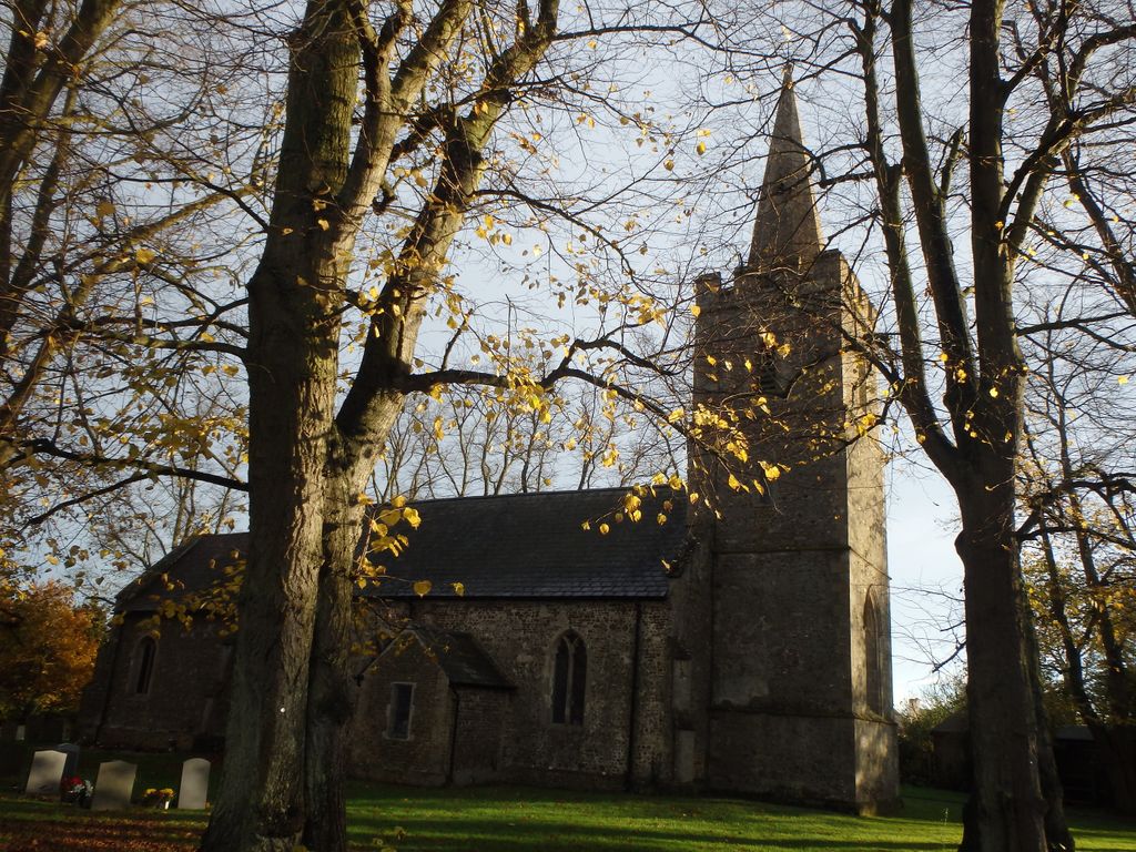
St Mary Churchyard is located at Main Street Hardwick, South Cambridgeshire District ,Cambridgeshire , CB23 7QTEngland.
-
St Mary Churchyard cemetery's updated grave count on graveviews.com?
0 memorials
-
Where are the coordinates of the St Mary Churchyard?
Latitude: 52.2085500
Longitude: 0.0069700
Nearby Cemetories:
1. St Mary Magdalene Churchyard
Madingley, South Cambridgeshire District, England
Coordinate: 52.2235570, 0.0408820
2. St Andrew Churchyard
Toft, South Cambridgeshire District, England
Coordinate: 52.1834320, -0.0088580
3. St. Mary Churchyard
Comberton, South Cambridgeshire District, England
Coordinate: 52.1804400, 0.0225700
4. Cambridge American Cemetery and Memorial
Coton, South Cambridgeshire District, England
Coordinate: 52.2171211, 0.0552860
5. St. Michael and All Angels
Caldecote, Huntingdonshire District, England
Coordinate: 52.1879970, -0.0308670
6. St Peter and St Paul Churchyard
Dry Drayton, South Cambridgeshire District, England
Coordinate: 52.2389600, 0.0197800
7. Woodland Burial Ground Barton Glebe
Barton, South Cambridgeshire District, England
Coordinate: 52.1861040, 0.0463150
8. St. Peter's Churchyard
Coton, South Cambridgeshire District, England
Coordinate: 52.2101310, 0.0606820
9. All Saints & St Andrew Churchyard
Kingston, South Cambridgeshire District, England
Coordinate: 52.1806200, -0.0326300
10. St Peter Churchyard
Barton, South Cambridgeshire District, England
Coordinate: 52.1818390, 0.0576870
11. Huntingdon Road Cemetery
Cambridge, City of Cambridge, England
Coordinate: 52.2435900, 0.0462900
12. Cambridge City Crematorium
Girton, South Cambridgeshire District, England
Coordinate: 52.2443620, 0.0497920
13. St Mark's Church Newnham Burial Ground
Cambridge, City of Cambridge, England
Coordinate: 52.1855200, 0.0705000
14. Cambourne Burial Ground
Cambourne, South Cambridgeshire District, England
Coordinate: 52.2179190, -0.0682910
15. St. Helena and St. Mary Churchyard
Bourn, South Cambridgeshire District, England
Coordinate: 52.1896940, -0.0639950
16. St Helen Churchyard
Little Eversden, South Cambridgeshire District, England
Coordinate: 52.1609000, 0.0083300
17. St Mary Churchyard
Great Eversden, South Cambridgeshire District, England
Coordinate: 52.1613300, -0.0036400
18. All Saints Churchyard
Lolworth, South Cambridgeshire District, England
Coordinate: 52.2583600, 0.0020200
19. Church of All Saints
Knapwell, South Cambridgeshire District, England
Coordinate: 52.2491000, -0.0447000
20. St. Peter's Churchyard
Boxworth, South Cambridgeshire District, England
Coordinate: 52.2620660, -0.0257910
21. Ascension Parish Burial Ground
Cambridge, City of Cambridge, England
Coordinate: 52.2174070, 0.0999260
22. Caxton Baptist Chapel
Caxton, South Cambridgeshire District, England
Coordinate: 52.2064820, -0.0926220
23. St. Andrew and St. Mary Churchyard
Grantchester, South Cambridgeshire District, England
Coordinate: 52.1787870, 0.0953110
24. St Mary The Virgin
Longstowe, South Cambridgeshire District, England
Coordinate: 52.1815300, -0.0845300