
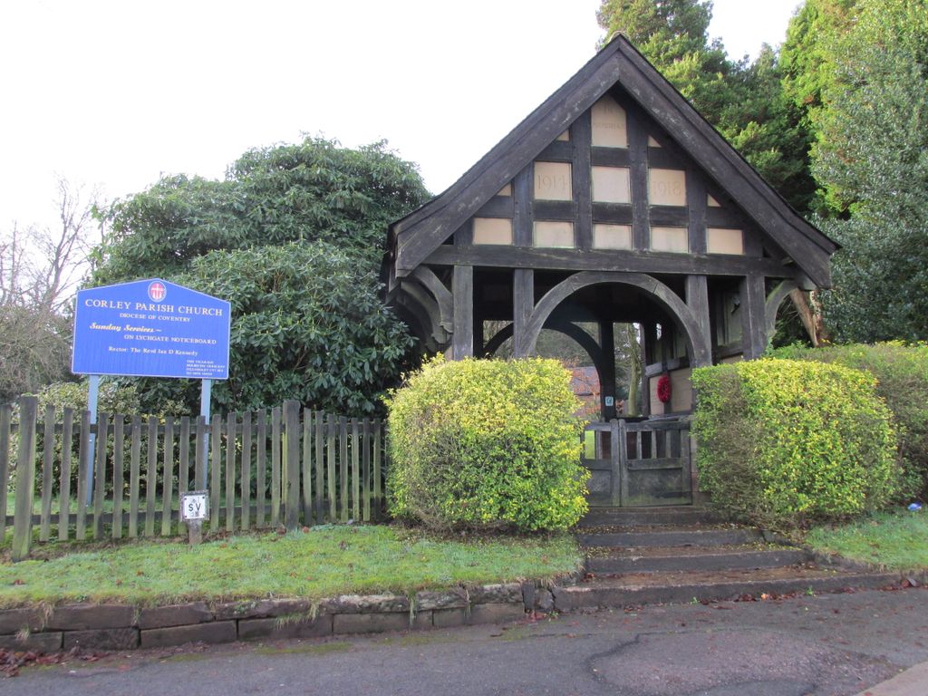
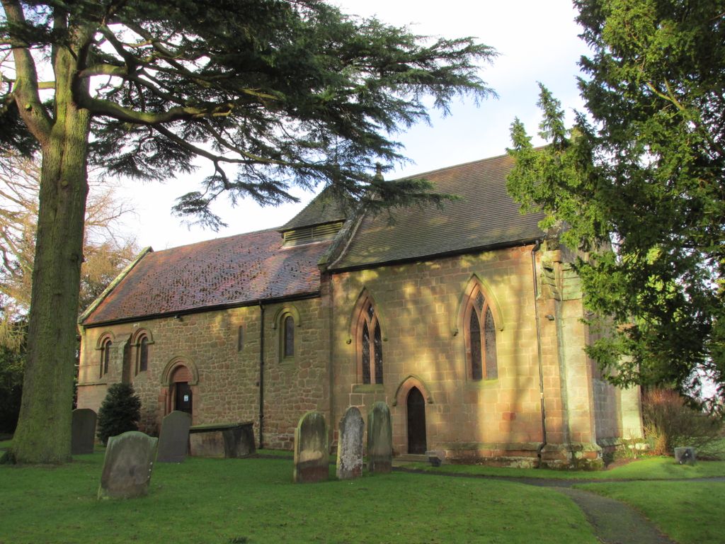
| Memorials | : | 0 |
| Location | : | Corley, North Warwickshire Borough, England |
| Coordinate | : | 52.4632100, -1.5577050 |
frequently asked questions (FAQ):
-
Where is Corley Parish Churchyard?
Corley Parish Churchyard is located at Tamworth Road, Corley, North Warwickshire Borough ,Warwickshire ,England.
-
Corley Parish Churchyard cemetery's updated grave count on graveviews.com?
0 memorials
-
Where are the coordinates of the Corley Parish Churchyard?
Latitude: 52.4632100
Longitude: -1.5577050
Nearby Cemetories:
1. St Mary & All Saints Churchyard
Fillongley, North Warwickshire Borough, England
Coordinate: 52.4817860, -1.5878250
2. St. Thomas Churchyard
Keresley, Metropolitan Borough of Coventry, England
Coordinate: 52.4395700, -1.5358000
3. St Giles Churchyard
Exhall, Nuneaton and Bedworth Borough, England
Coordinate: 52.4623930, -1.5003010
4. St. Mary the Virgin Churchyard
Astley, North Warwickshire Borough, England
Coordinate: 52.5019060, -1.5432740
5. St Josephs Roman Catholic Church
Arley, North Warwickshire Borough, England
Coordinate: 52.5013130, -1.5769780
6. All Saints Churchyard
Allesley, Metropolitan Borough of Coventry, England
Coordinate: 52.4230817, -1.5563453
7. St. Paul's Cemetery
Coventry, Metropolitan Borough of Coventry, England
Coordinate: 52.4383200, -1.5047500
8. St Michael's Church
Coventry, Metropolitan Borough of Coventry, England
Coordinate: 52.5036300, -1.5707400
9. St. Michaels Parish Church
Arley, North Warwickshire Borough, England
Coordinate: 52.5038140, -1.5703530
10. Foleshill Road United Reformed Churchyard
Foleshill, Metropolitan Borough of Coventry, England
Coordinate: 52.4373320, -1.4919190
11. Erdbury Priory
Arbury, Nuneaton and Bedworth Borough, England
Coordinate: 52.5002190, -1.5074930
12. St Wilfreds Parish Churchyard
Arley, North Warwickshire Borough, England
Coordinate: 52.5125900, -1.5846500
13. Coventry Road Cemetery
Bedworth, Nuneaton and Bedworth Borough, England
Coordinate: 52.4775590, -1.4734910
14. All Saints Churchyard
Bedworth, Nuneaton and Bedworth Borough, England
Coordinate: 52.4790300, -1.4724590
15. Old Meeting House URC Burial Ground
Bedworth, Nuneaton and Bedworth Borough, England
Coordinate: 52.4815660, -1.4714170
16. St Mary Magdalen
Chapelfields, Metropolitan Borough of Coventry, England
Coordinate: 52.4078970, -1.5316060
17. Marston Lane Cemetery
Bedworth, Nuneaton and Bedworth Borough, England
Coordinate: 52.4883470, -1.4678740
18. St Michael & All Angels Churchyard
Maxstoke, North Warwickshire Borough, England
Coordinate: 52.4791940, -1.6541150
19. St Laurence's Churchyard
Meriden, Metropolitan Borough of Solihull, England
Coordinate: 52.4379000, -1.6496000
20. Saint Mary's Priory and Cathedral Coventry
Coventry, Metropolitan Borough of Coventry, England
Coordinate: 52.4089000, -1.5085000
21. Holy Trinity Churchyard
Coventry, Metropolitan Borough of Coventry, England
Coordinate: 52.4085450, -1.5093060
22. St Paul's Churchyard
Stockingford, Nuneaton and Bedworth Borough, England
Coordinate: 52.5191000, -1.5100000
23. Coventry Cathedral
Coventry, Metropolitan Borough of Coventry, England
Coordinate: 52.4083290, -1.5067360
24. St Michael's Cathedral
Coventry, Metropolitan Borough of Coventry, England
Coordinate: 52.4080000, -1.5071840