
| Memorials | : | 0 |
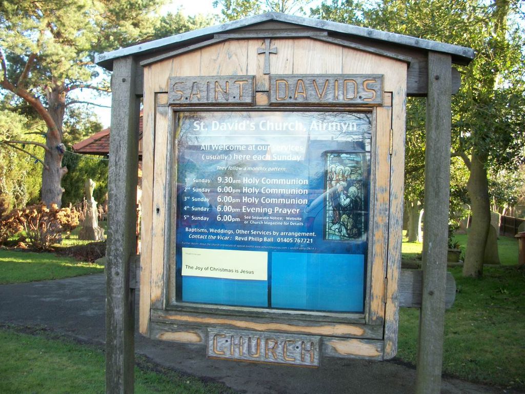
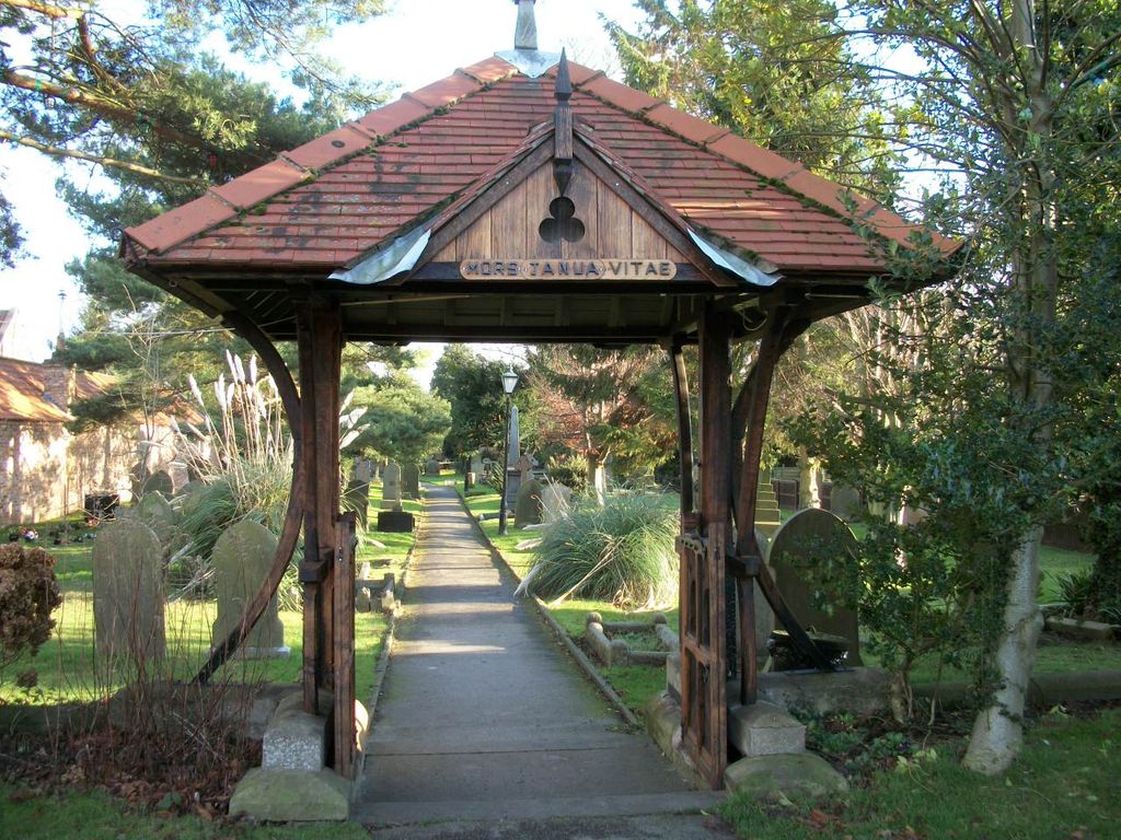
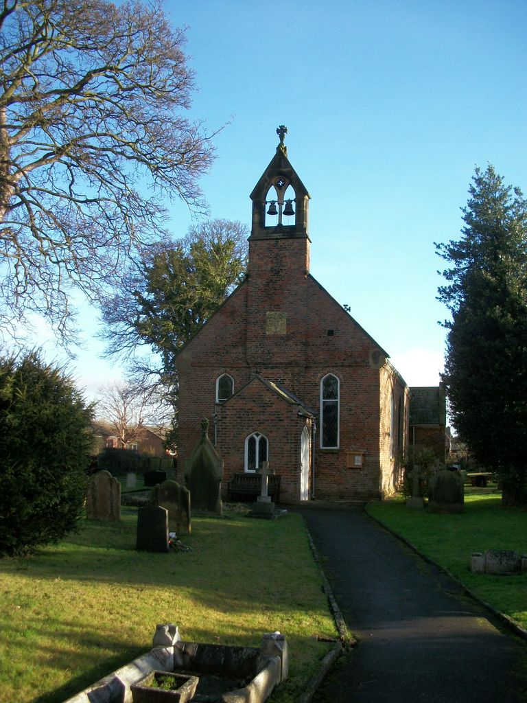
| Location | : | Airmyn, East Riding of Yorkshire Unitary Authority, England |
| Coordinate | : | 53.7178030, -0.9016700 |
frequently asked questions (FAQ):
-
Where is St David Churchyard?
St David Churchyard is located at Airmyn, East Riding of Yorkshire Unitary Authority ,East Riding of Yorkshire ,England.
-
St David Churchyard cemetery's updated grave count on graveviews.com?
0 memorials
-
Where are the coordinates of the St David Churchyard?
Latitude: 53.7178030
Longitude: -0.9016700
Nearby Cemetories:
1. St. John the Evangelist Churchyard
Goole, East Riding of Yorkshire Unitary Authority, England
Coordinate: 53.7024600, -0.8719260
2. Hook Cemetery
Hook, East Riding of Yorkshire Unitary Authority, England
Coordinate: 53.7204300, -0.8525380
3. Howden Cemetery
Howden, East Riding of Yorkshire Unitary Authority, England
Coordinate: 53.7438890, -0.8770090
4. St Mary the Virgin Churchyard
Hook, East Riding of Yorkshire Unitary Authority, England
Coordinate: 53.7207270, -0.8510590
5. Goole Cemetery
Goole, East Riding of Yorkshire Unitary Authority, England
Coordinate: 53.7105940, -0.8513370
6. Catholic Church of The Sacred Heart
Howden, East Riding of Yorkshire Unitary Authority, England
Coordinate: 53.7428360, -0.8709800
7. Howden Minster Churchyard
Howden, East Riding of Yorkshire Unitary Authority, England
Coordinate: 53.7449550, -0.8670300
8. Barmby on the Marsh Parish Burial Ground
Barmby on the Marsh, East Riding of Yorkshire Unitary Authority, England
Coordinate: 53.7472990, -0.9401910
9. St. Helen's Churchyard
Barmby on the Marsh, East Riding of Yorkshire Unitary Authority, England
Coordinate: 53.7476490, -0.9549090
10. Friends Burial Ground
Drax, Selby District, England
Coordinate: 53.7291640, -0.9771490
11. St Peter and St Paul Churchyard
Drax, Selby District, England
Coordinate: 53.7293790, -0.9771560
12. Drax Cemetery
Drax, Selby District, England
Coordinate: 53.7272540, -0.9875330
13. St Peter Churchyard and Church Cemetery
Laxton, East Riding of Yorkshire Unitary Authority, England
Coordinate: 53.7196250, -0.8000900
14. Holy Trinity Churchyard
East Cowick, East Riding of Yorkshire Unitary Authority, England
Coordinate: 53.6866220, -1.0000200
15. St Mary the Virgin Churchyard
Hemingbrough, Selby District, England
Coordinate: 53.7672100, -0.9796300
16. Carlton Cemetery
Carlton, Selby District, England
Coordinate: 53.7129500, -1.0199200
17. St Mary Roman Catholic Church
Carlton, Selby District, England
Coordinate: 53.7111900, -1.0199300
18. St Mary Churchyard
Carlton, Selby District, England
Coordinate: 53.7088060, -1.0209800
19. St Michael Churchyard
Eastrington, East Riding of Yorkshire Unitary Authority, England
Coordinate: 53.7599690, -0.7931110
20. Eastrington Cemetery
Eastrington, East Riding of Yorkshire Unitary Authority, England
Coordinate: 53.7606920, -0.7922500
21. St. Wilfrith's Churchyard
Moorends, Metropolitan Borough of Doncaster, England
Coordinate: 53.6306940, -0.9502050
22. All Saints Churchyard
Bubwith, East Riding of Yorkshire Unitary Authority, England
Coordinate: 53.8170680, -0.9200130
23. Holy Trinity Churchyard
Blacktoft, East Riding of Yorkshire Unitary Authority, England
Coordinate: 53.7082510, -0.7271700
24. St Bartholomews Churchyard
Eastoft, North Lincolnshire Unitary Authority, England
Coordinate: 53.6397700, -0.7823500