| Memorials | : | 1 |
| Location | : | Burton upon Trent, East Staffordshire Borough, England |
| Coordinate | : | 52.8026310, -1.6208900 |
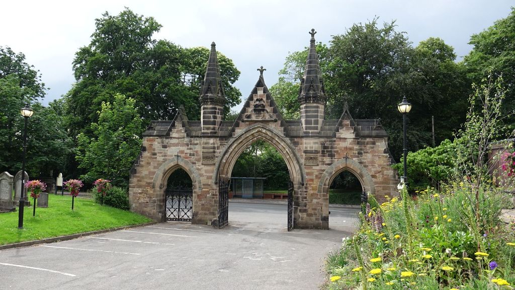
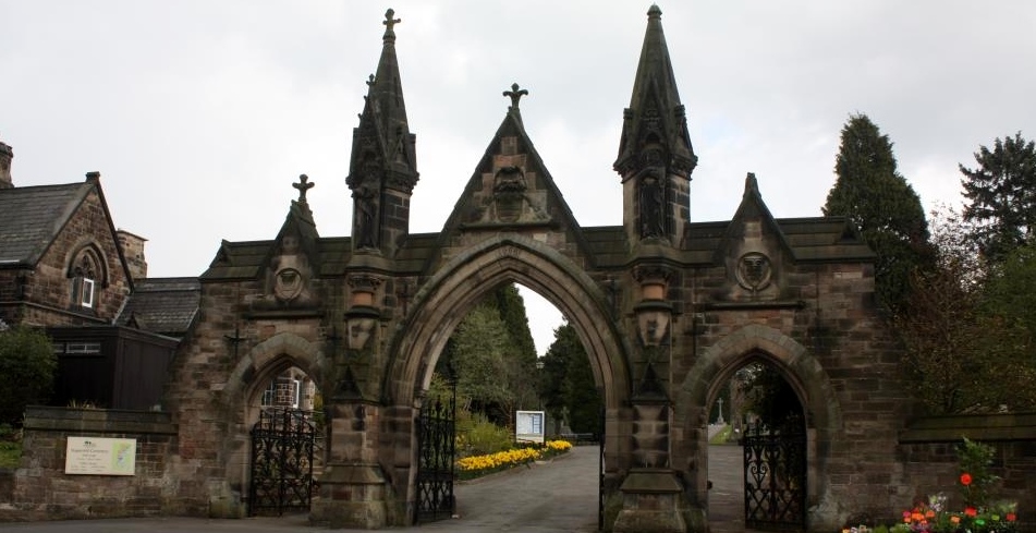
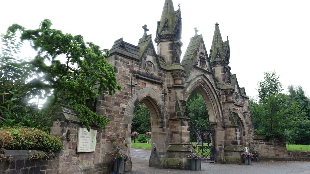
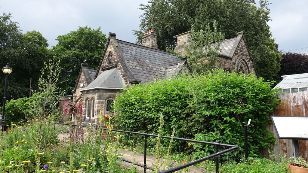
| Description | : | The cemetery is across the Trent, a little South of the road to Ashby-de-la-Zouch. The original 12 acre site for Stapenhill Cemetery was purchased from the Marques of Anglesey by the Burial Board of Burton upon Trent in 1864. The cost of the initial purchase was £4,800. The consecration of areas within the Cemetery was carried out on the 25th of May 1866 and the first burial took place on the 12th of June 1866. The year 1866 is inscribed on the main entrance to the Cemetery together with the town’s coat of arms. In 1883, the Cemetery was enlarged to 22... Read More |
frequently asked questions (FAQ):
-
Where is Stapenhill Cemetery?
Stapenhill Cemetery is located at 38 Stapenhill Road Burton upon Trent, East Staffordshire Borough ,Staffordshire , DE15 9AEEngland.
-
Stapenhill Cemetery cemetery's updated grave count on graveviews.com?
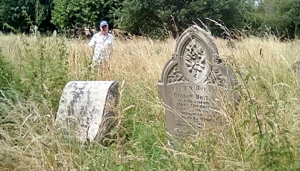
1 memorials
-
Where are the coordinates of the Stapenhill Cemetery?
Latitude: 52.8026310
Longitude: -1.6208900
Nearby Cemetories:
1. Garden of Remembrance
Burton upon Trent, East Staffordshire Borough, England
Coordinate: 52.8023045, -1.6283625
2. St Modwen Churchyard
Burton upon Trent, East Staffordshire Borough, England
Coordinate: 52.8013990, -1.6291340
3. St. Peter's Parish Churchyard
Stapenhill, East Staffordshire Borough, England
Coordinate: 52.7960899, -1.6230323
4. St Mark Churchyard
Winshill, East Staffordshire Borough, England
Coordinate: 52.8082040, -1.6048350
5. Saint John the Divine Churchyard
Horninglow, East Staffordshire Borough, England
Coordinate: 52.8237520, -1.6426170
6. Bretby Crematorium
Burton upon Trent, East Staffordshire Borough, England
Coordinate: 52.8008590, -1.5724250
7. Saint Saviour's Cemetery
Burton upon Trent, East Staffordshire Borough, England
Coordinate: 52.7892907, -1.6668628
8. St Mary's Churchyard
Stretton, South Staffordshire Borough, England
Coordinate: 52.8336500, -1.6253400
9. St Mary's Church
Stretton, East Staffordshire Borough, England
Coordinate: 52.8341478, -1.6247215
10. St. John's Churchyard
Newhall, South Derbyshire District, England
Coordinate: 52.7825310, -1.5685700
11. Swadlincote Newhall and Stanton Burial Ground
Swadlincote, South Derbyshire District, England
Coordinate: 52.7818200, -1.5683500
12. St. Wilfrid Churchyard
Egginton, South Derbyshire District, England
Coordinate: 52.8474570, -1.6041750
13. St. Michael and All Angels Churchyard
Tatenhill, East Staffordshire Borough, England
Coordinate: 52.7958170, -1.6968150
14. St. Mary's Churchyard
Rolleston-on-Dove, East Staffordshire Borough, England
Coordinate: 52.8465144, -1.6519844
15. Church Gresley Cemetery
Church Gresley, South Derbyshire District, England
Coordinate: 52.7666760, -1.5626180
16. Rolleston Cemetery
Rolleston-on-Dove, East Staffordshire Borough, England
Coordinate: 52.8483757, -1.6643849
17. St. George and St. Mary Churchyard
Church Gresley, South Derbyshire District, England
Coordinate: 52.7597610, -1.5669370
18. St Laurence Churchyard
Walton-on-Trent, South Derbyshire District, England
Coordinate: 52.7613386, -1.6819775
19. Holy Trinity Churchyard
Anslow, East Staffordshire Borough, England
Coordinate: 52.8216926, -1.7079807
20. St. Wystan's Churchyard
Repton, South Derbyshire District, England
Coordinate: 52.8411570, -1.5516380
21. St Michael Churchyard
Willington, South Derbyshire District, England
Coordinate: 52.8501540, -1.5636540
22. St Mary's
Marston-on-Dove, South Derbyshire District, England
Coordinate: 52.8633910, -1.6547730
23. Marston-on-Dove Cemetery
Marston-on-Dove, South Derbyshire District, England
Coordinate: 52.8640550, -1.6552780
24. St. Mary's Churchyard, Dunstall
Tatenhill, East Staffordshire Borough, England
Coordinate: 52.7809957, -1.7236464

