
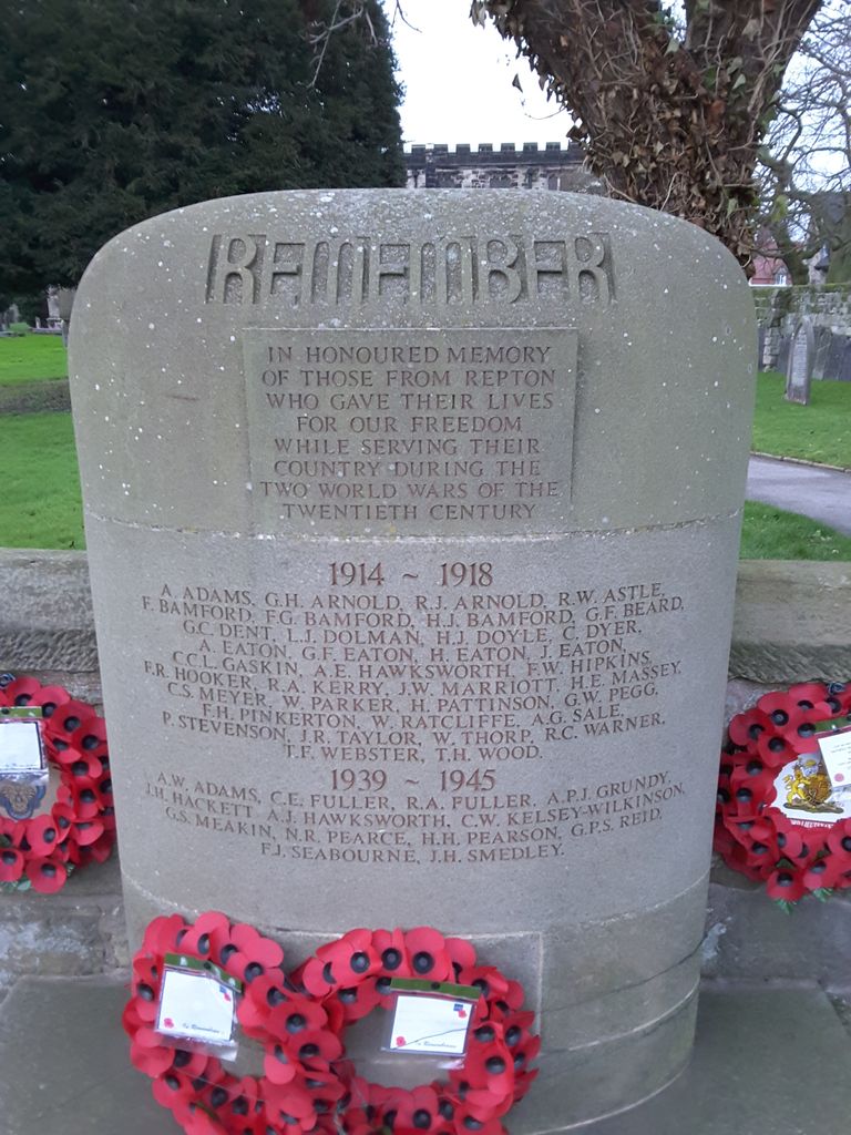
| Memorials | : | 0 |
| Location | : | Repton, South Derbyshire District, England |
| Coordinate | : | 52.8411570, -1.5516380 |
frequently asked questions (FAQ):
-
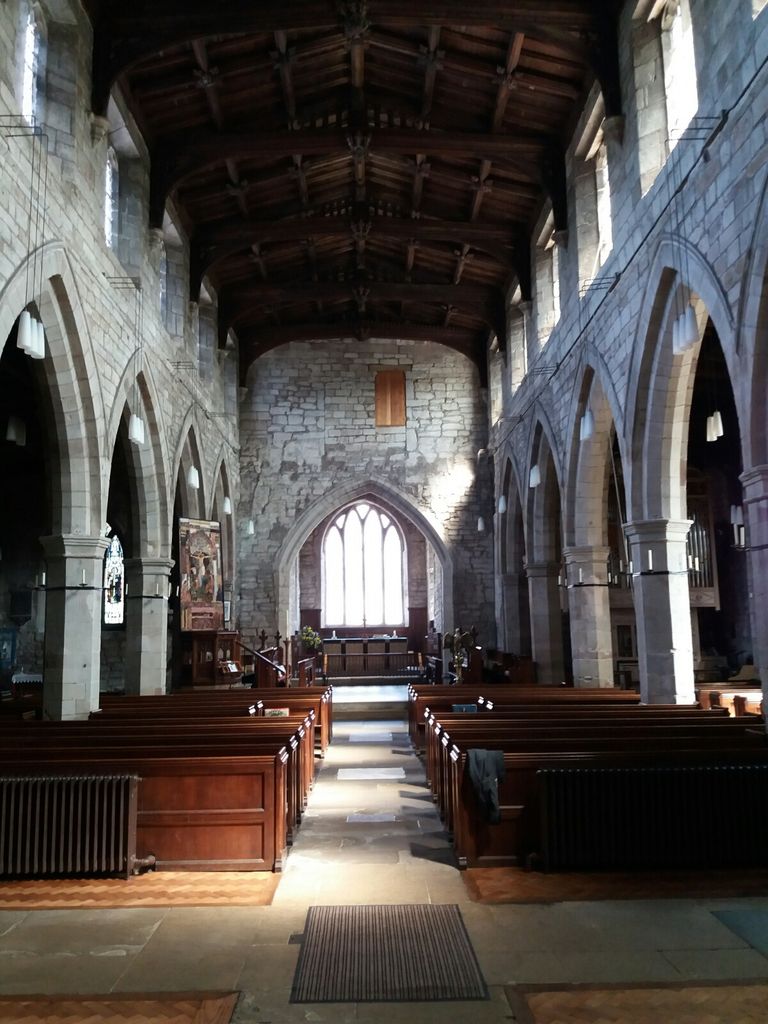
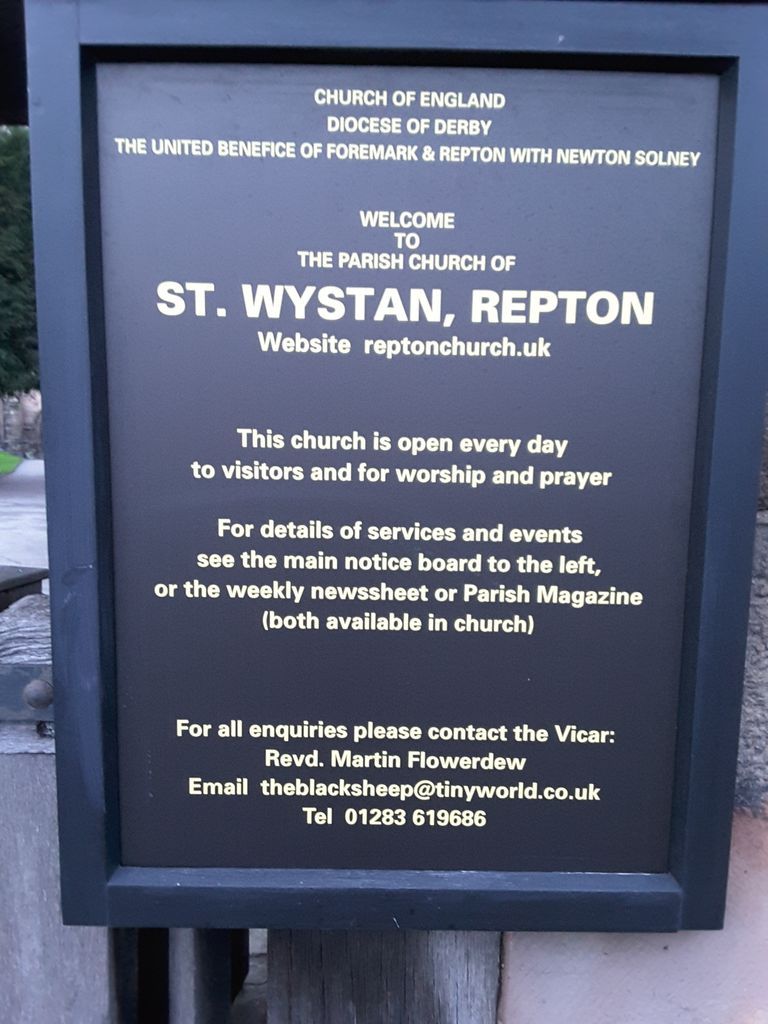
Where is St. Wystan's Churchyard?
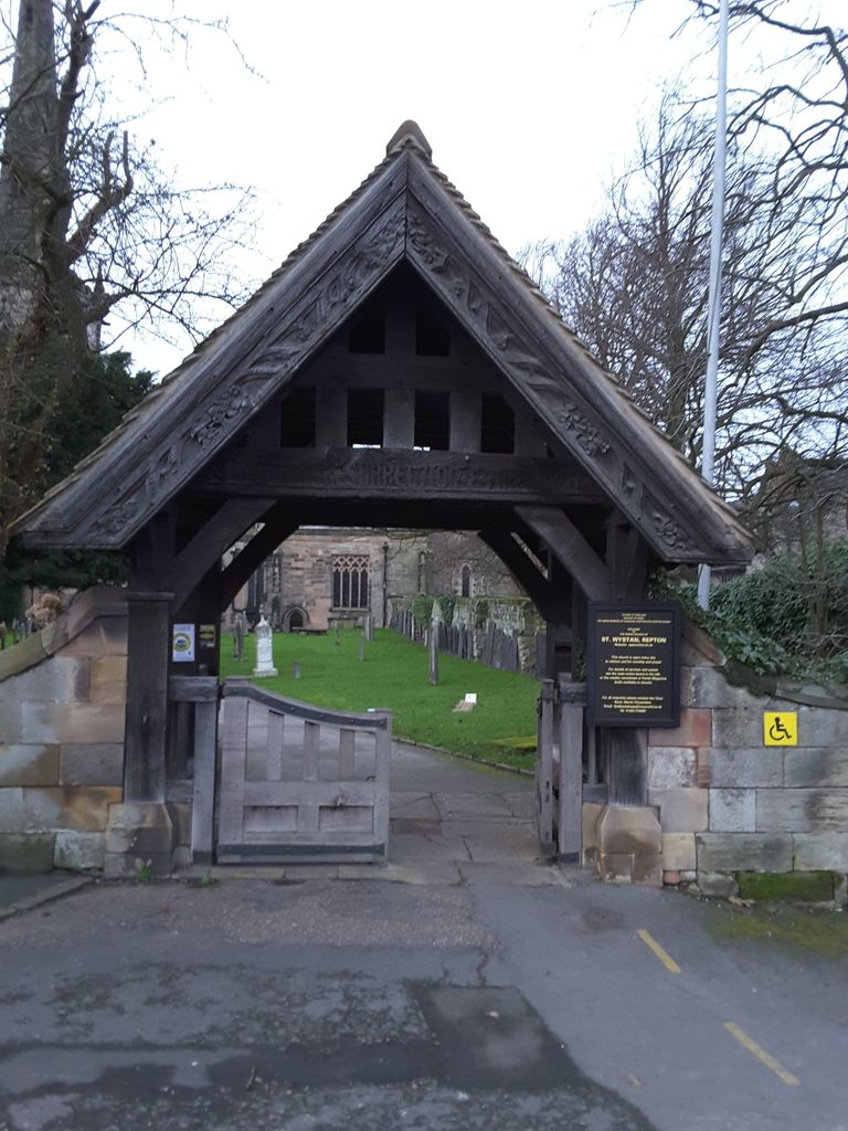
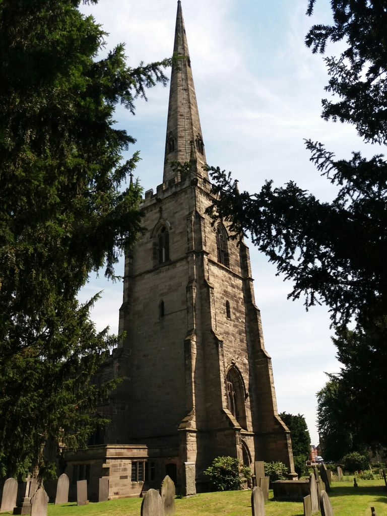
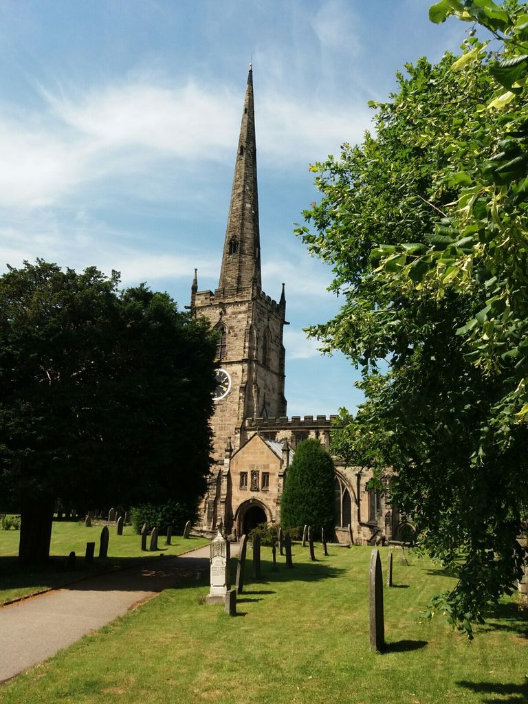
St. Wystan's Churchyard is located at Repton, South Derbyshire District ,Derbyshire ,England.
-
St. Wystan's Churchyard cemetery's updated grave count on graveviews.com?
0 memorials
-
Where are the coordinates of the St. Wystan's Churchyard?
Latitude: 52.8411570
Longitude: -1.5516380
Nearby Cemetories:
1. St Michael Churchyard
Willington, South Derbyshire District, England
Coordinate: 52.8501540, -1.5636540
2. St. Wilfrid Churchyard
Egginton, South Derbyshire District, England
Coordinate: 52.8474570, -1.6041750
3. Bretby Crematorium
Burton upon Trent, East Staffordshire Borough, England
Coordinate: 52.8008590, -1.5724250
4. St Mary's Church
Stretton, East Staffordshire Borough, England
Coordinate: 52.8341478, -1.6247215
5. St Mary's Churchyard
Stretton, South Staffordshire Borough, England
Coordinate: 52.8336500, -1.6253400
6. Barrow Upon Trent Cemetery
Barrow upon Trent, South Derbyshire District, England
Coordinate: 52.8532164, -1.4788765
7. St Mark Churchyard
Winshill, East Staffordshire Borough, England
Coordinate: 52.8082040, -1.6048350
8. St Wilfrid Churchyard
Barrow upon Trent, South Derbyshire District, England
Coordinate: 52.8517910, -1.4773020
9. St. George's Churchyard
Ticknall, South Derbyshire District, England
Coordinate: 52.8133780, -1.4801570
10. Saint Helen's Churchyard
Etwall, South Derbyshire District, England
Coordinate: 52.8847700, -1.6017500
11. Etwall Cemetery
Etwall, South Derbyshire District, England
Coordinate: 52.8856100, -1.6025100
12. Stapenhill Cemetery
Burton upon Trent, East Staffordshire Borough, England
Coordinate: 52.8026310, -1.6208900
13. Saint John the Divine Churchyard
Horninglow, East Staffordshire Borough, England
Coordinate: 52.8237520, -1.6426170
14. St. John's Churchyard
Newhall, South Derbyshire District, England
Coordinate: 52.7825310, -1.5685700
15. Swadlincote Newhall and Stanton Burial Ground
Swadlincote, South Derbyshire District, England
Coordinate: 52.7818200, -1.5683500
16. Garden of Remembrance
Burton upon Trent, East Staffordshire Borough, England
Coordinate: 52.8023045, -1.6283625
17. St. Mary's Churchyard
Rolleston-on-Dove, East Staffordshire Borough, England
Coordinate: 52.8465144, -1.6519844
18. St Peter's Church
Hartshorne, South Derbyshire District, England
Coordinate: 52.7840400, -1.5162100
19. St Modwen Churchyard
Burton upon Trent, East Staffordshire Borough, England
Coordinate: 52.8013990, -1.6291340
20. St. Peter's Parish Churchyard
Stapenhill, East Staffordshire Borough, England
Coordinate: 52.7960899, -1.6230323
21. St. James' Churchyard
Swarkestone, South Derbyshire District, England
Coordinate: 52.8535560, -1.4490940
22. All Saints Churchyard
Mickleover, Derby Unitary Authority, England
Coordinate: 52.9043630, -1.5476790
23. Normanton Cemetery
Normanton, Derby Unitary Authority, England
Coordinate: 52.8968930, -1.4927830
24. St Mary's
Marston-on-Dove, South Derbyshire District, England
Coordinate: 52.8633910, -1.6547730