
| Memorials | : | 2 |
| Location | : | Norborne, Carroll County, USA |
| Coordinate | : | 39.3270780, -93.6829730 |
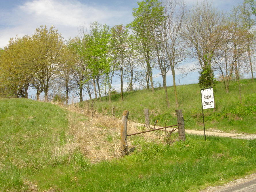
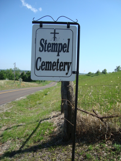
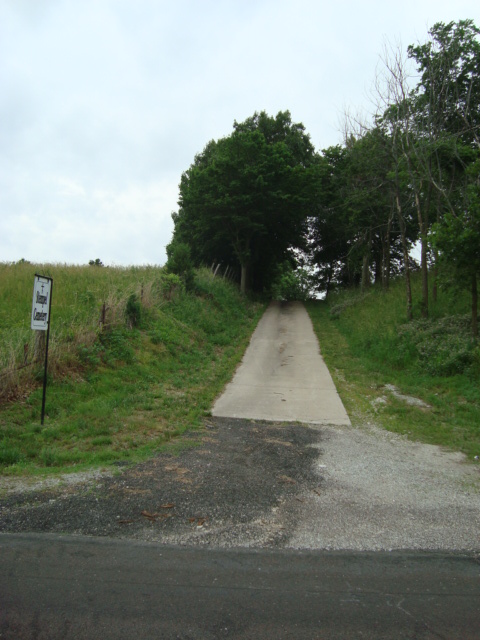
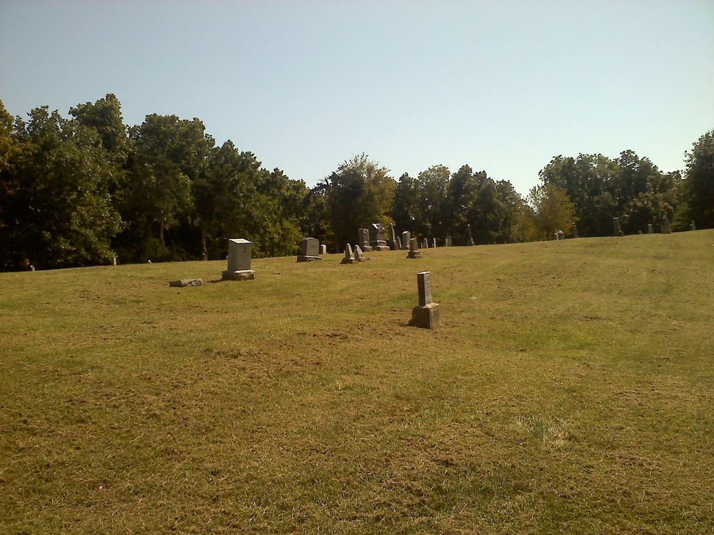
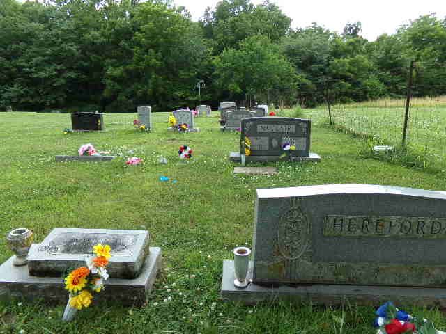
| Description | : | Five miles north of Norborne, Missouri on State Hwy D; on west side of road just before Trinty Lutheran Cemetery. |
frequently asked questions (FAQ):
-
Where is Stempel Cemetery?
Stempel Cemetery is located at Hwy D Norborne, Carroll County ,Missouri , 64668USA.
-
Stempel Cemetery cemetery's updated grave count on graveviews.com?
2 memorials
-
Where are the coordinates of the Stempel Cemetery?
Latitude: 39.3270780
Longitude: -93.6829730
Nearby Cemetories:
1. Trinity Lutheran Cemetery
Norborne, Carroll County, USA
Coordinate: 39.3293991, -93.6844025
2. Clowdis Cemetery
Carroll County, USA
Coordinate: 39.3386700, -93.6573500
3. Fairhaven Cemetery
Norborne, Carroll County, USA
Coordinate: 39.2991982, -93.6903000
4. German Methodist Cemetery
Norborne, Carroll County, USA
Coordinate: 39.3428001, -93.6500015
5. Unnamed Cemetery #47
Carroll County, USA
Coordinate: 39.3558998, -93.6673965
6. Providence Cemetery
Norborne, Carroll County, USA
Coordinate: 39.3511009, -93.7230988
7. Sacred Heart Cemetery
Norborne, Carroll County, USA
Coordinate: 39.2914009, -93.6247025
8. Liberty Cemetery
Hardin, Ray County, USA
Coordinate: 39.3331800, -93.7667800
9. Unnamed Cemetery #85
Carroll County, USA
Coordinate: 39.2863998, -93.6071014
10. McCroskie Creek Baptist Church Cemetery
Carroll County, USA
Coordinate: 39.3840179, -93.6199951
11. Hill Cemetery
Norborne, Carroll County, USA
Coordinate: 39.2497000, -93.6725000
12. Gilead Cemetery
Norborne, Carroll County, USA
Coordinate: 39.2716780, -93.6059130
13. Antioch Cemetery
Norborne, Carroll County, USA
Coordinate: 39.4083519, -93.7010498
14. Unnamed Cemetery #91
Carroll County, USA
Coordinate: 39.2658005, -93.5985031
15. Austin Cemetery
Carroll County, USA
Coordinate: 39.2771988, -93.5864029
16. Clark Cemetery
Hardin, Ray County, USA
Coordinate: 39.3499985, -93.7956009
17. Williams Cemetery
Carroll County, USA
Coordinate: 39.2770000, -93.5860000
18. Meinking-Wilson Cemetery
Ray County, USA
Coordinate: 39.3576200, -93.7995600
19. Forester Cemetery
Hardin, Ray County, USA
Coordinate: 39.3125700, -93.8079100
20. Trotter Cemetery
Carrollton, Carroll County, USA
Coordinate: 39.3793983, -93.5569000
21. Watson Cemetery
Cherry Valley Township, Carroll County, USA
Coordinate: 39.2246000, -93.7438000
22. Mount Olivet Cemetery
Stet, Carroll County, USA
Coordinate: 39.4366000, -93.7403000
23. Hardin Cemetery
Hardin, Ray County, USA
Coordinate: 39.2661018, -93.8181000
24. Unnamed Cemetery #94
Carroll County, USA
Coordinate: 39.3541985, -93.5298004