
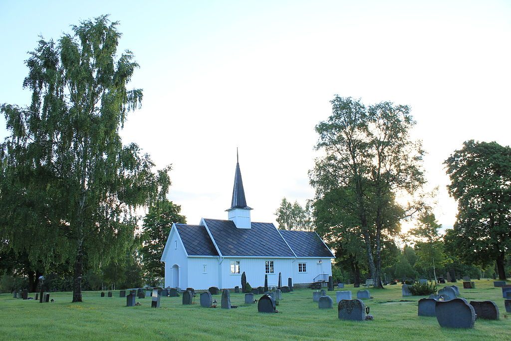
| Memorials | : | 0 |
| Location | : | Nannestad kommune, Norway |
| Coordinate | : | 60.2775540, 11.0882430 |
frequently asked questions (FAQ):
-
Where is Stensgård Kirkegård?
Stensgård Kirkegård is located at Vestre Hurdalsvei 41 Nannestad kommune ,Akershus fylke , 2032Norway.
-
Stensgård Kirkegård cemetery's updated grave count on graveviews.com?
0 memorials
-
Where are the coordinates of the Stensgård Kirkegård?
Latitude: 60.2775540
Longitude: 11.0882430
Nearby Cemetories:
1. Raaholt Cemetery
Raholt, Eidsvoll kommune, Norway
Coordinate: 60.2751000, 11.1790000
2. Bjørke Kirke
Nannestad kommune, Norway
Coordinate: 60.2342490, 11.0121679
3. Nannestad
Nannestad kommune, Norway
Coordinate: 60.2144610, 11.0051450
4. Eidsvoll Church Cemetery
Eidsvoll, Eidsvoll kommune, Norway
Coordinate: 60.3234700, 11.2434500
5. Holter Gravlund
Holter, Nannestad kommune, Norway
Coordinate: 60.1453260, 11.0495640
6. Hovin Cemetery
Jessheim, Ullensaker kommune, Norway
Coordinate: 60.1424000, 11.1257800
7. Langset Parish
Minnesund, Eidsvoll kommune, Norway
Coordinate: 60.4073113, 11.2427180
8. Ullensaker Cemetery
Jessheim, Ullensaker kommune, Norway
Coordinate: 60.0839860, 11.1654040
9. Hakadal kirkegard
Nittedal kommune, Norway
Coordinate: 60.1056688, 10.8768380
10. Feiring Kirke
Feiring, Eidsvoll kommune, Norway
Coordinate: 60.4847000, 11.1495000
11. Nes Kirke
Vormsund, Nes kommune, Norway
Coordinate: 60.1619024, 11.4500313
12. Oppdalen Church Cemetery
Lunner, Lunner kommune, Norway
Coordinate: 60.3041027, 10.6491884
13. Aarnes Cemetery
Årnes, Nes kommune, Norway
Coordinate: 60.1251790, 11.4719160
14. Strandlykkja cemetery
Strandlykkja, Stange kommune, Norway
Coordinate: 60.5138100, 11.2472333
15. Sand Church
Sand, Nord-Odal kommune, Norway
Coordinate: 60.3906480, 11.5431170
16. Lunner Cemetery
Lunner, Lunner kommune, Norway
Coordinate: 60.3072200, 10.5587200
17. Ullern
Ulleren, Sør-Odal kommune, Norway
Coordinate: 60.2128180, 11.6351600
18. Sørum kirkegård
Sørum kommune, Norway
Coordinate: 60.0065970, 11.2347250
19. Skedsmo kirkegaard
Skedsmo kommune, Norway
Coordinate: 59.9942540, 11.0464590
20. Auli
Nes, Asker kommune, Norway
Coordinate: 60.0374870, 11.3992330
21. Granavoll Cemetery
Gran, Gran kommune, Norway
Coordinate: 60.3664590, 10.5294870
22. Blaker Kirkegård
Sorumsand, Sørum kommune, Norway
Coordinate: 60.0015830, 11.3016500
23. Mo Churchyard
Sand, Nord-Odal kommune, Norway
Coordinate: 60.4288290, 11.6350790
24. Tingelstad
Gran, Gran kommune, Norway
Coordinate: 60.3942850, 10.4854130