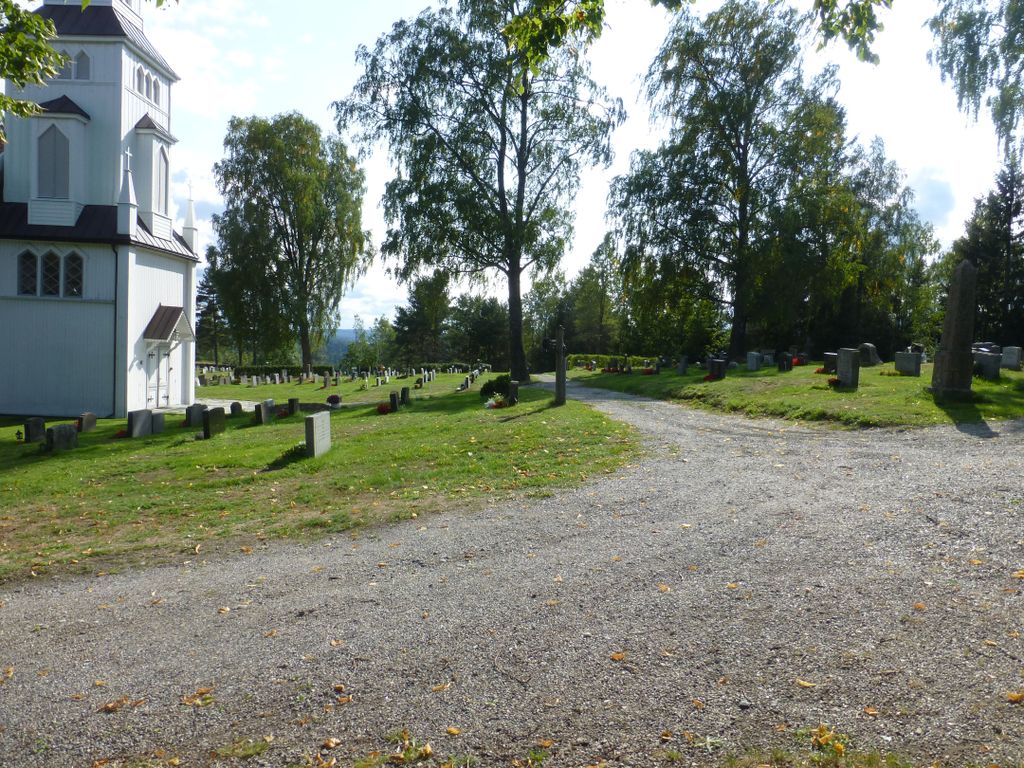
| Memorials | : | 0 |
| Location | : | Minnesund, Eidsvoll kommune, Norway |
| Coordinate | : | 60.4073113, 11.2427180 |
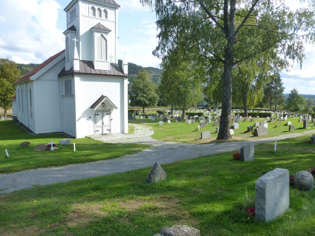
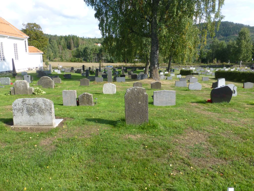
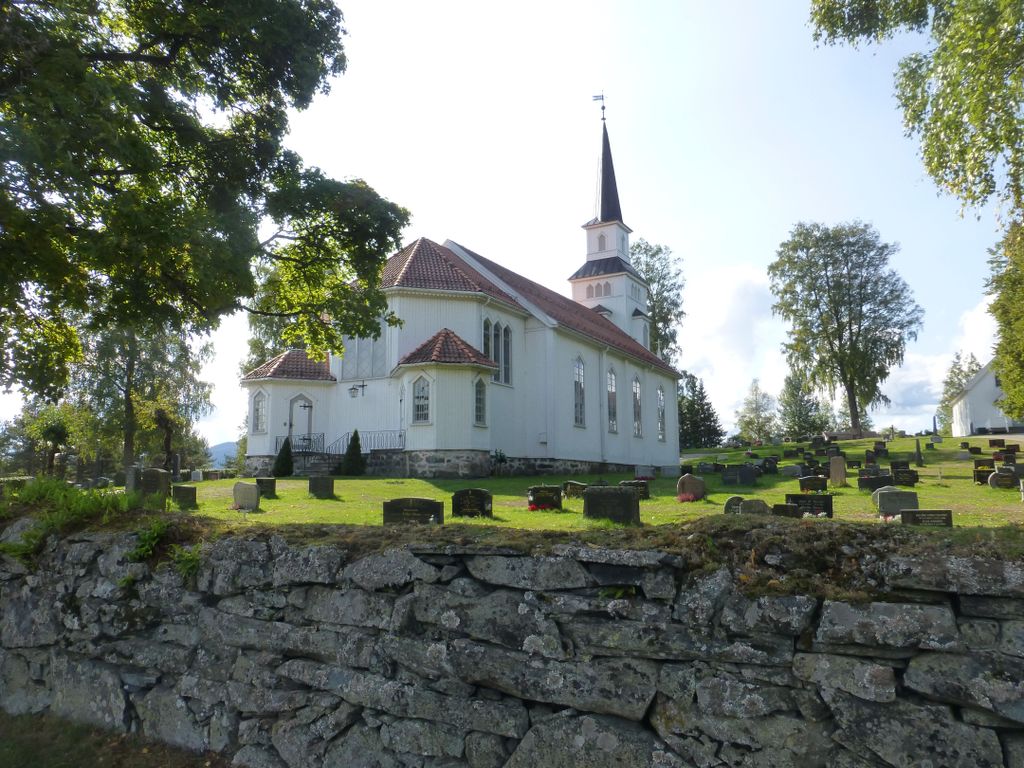
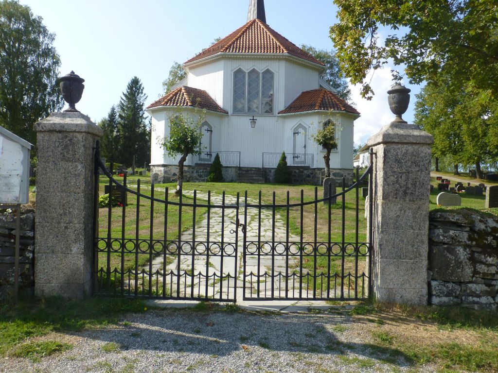
| Description | : | Eidsvoll Church (Eidsvoll Kirke) is a cruciform church from approx 1200. It is part of the Norwegian Church and belongs to Øvre Romerike deanery in the Diocese of Borg. The Romanesque building is in stone. Eidsvoll church is repeatedly burned and rebuilt. |
frequently asked questions (FAQ):
-
Where is Langset Parish?
Langset Parish is located at Langsetvegen 86 Minnesund, Eidsvoll kommune ,Akershus fylke , 2092Norway.
-
Langset Parish cemetery's updated grave count on graveviews.com?
0 memorials
-
Where are the coordinates of the Langset Parish?
Latitude: 60.4073113
Longitude: 11.2427180
Nearby Cemetories:
1. Eidsvoll Church Cemetery
Eidsvoll, Eidsvoll kommune, Norway
Coordinate: 60.3234700, 11.2434500
2. Feiring Kirke
Feiring, Eidsvoll kommune, Norway
Coordinate: 60.4847000, 11.1495000
3. Strandlykkja cemetery
Strandlykkja, Stange kommune, Norway
Coordinate: 60.5138100, 11.2472333
4. Raaholt Cemetery
Raholt, Eidsvoll kommune, Norway
Coordinate: 60.2751000, 11.1790000
5. Sand Church
Sand, Nord-Odal kommune, Norway
Coordinate: 60.3906480, 11.5431170
6. Stensgård Kirkegård
Nannestad kommune, Norway
Coordinate: 60.2775540, 11.0882430
7. Mo Churchyard
Sand, Nord-Odal kommune, Norway
Coordinate: 60.4288290, 11.6350790
8. Bjørke Kirke
Nannestad kommune, Norway
Coordinate: 60.2342490, 11.0121679
9. Tangen kirkegård
Stange, Stange kommune, Norway
Coordinate: 60.6167300, 11.2653600
10. Nannestad
Nannestad kommune, Norway
Coordinate: 60.2144610, 11.0051450
11. Nes Kirke
Vormsund, Nes kommune, Norway
Coordinate: 60.1619024, 11.4500313
12. Hovin Cemetery
Jessheim, Ullensaker kommune, Norway
Coordinate: 60.1424000, 11.1257800
13. Ullern
Ulleren, Sør-Odal kommune, Norway
Coordinate: 60.2128180, 11.6351600
14. Holter Gravlund
Holter, Nannestad kommune, Norway
Coordinate: 60.1453260, 11.0495640
15. Vallset kirkegård
Stange, Stange kommune, Norway
Coordinate: 60.7012600, 11.3286000
16. Balke Kirkegaard
Skreia, Østre Toten kommune, Norway
Coordinate: 60.6681415, 10.9499695
17. Aarnes Cemetery
Årnes, Nes kommune, Norway
Coordinate: 60.1251790, 11.4719160
18. Stange Church Cemetery
Stange, Stange kommune, Norway
Coordinate: 60.7098210, 11.1373780
19. Oppdalen Church Cemetery
Lunner, Lunner kommune, Norway
Coordinate: 60.3041027, 10.6491884
20. Kolbu Kirke Churchyard
Østre Toten kommune, Norway
Coordinate: 60.6293210, 10.7737690
21. Ullensaker Cemetery
Jessheim, Ullensaker kommune, Norway
Coordinate: 60.0839860, 11.1654040
22. Hoff Church Cemetery
Lena, Østre Toten kommune, Norway
Coordinate: 60.6847580, 10.8444930
23. Romedal Kirkegård
Romedal, Stange kommune, Norway
Coordinate: 60.7517000, 11.2614400
24. Hakadal kirkegard
Nittedal kommune, Norway
Coordinate: 60.1056688, 10.8768380

