| Memorials | : | 3 |
| Location | : | Richland Township, Fairfield County, USA |
| Coordinate | : | 39.7863998, -82.4582977 |
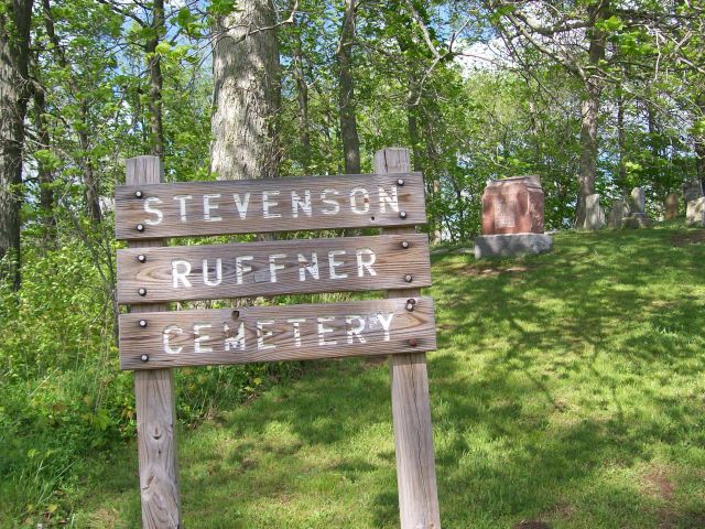
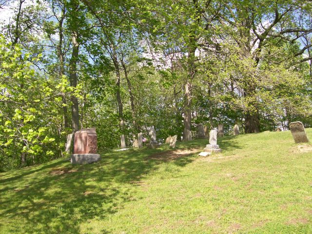
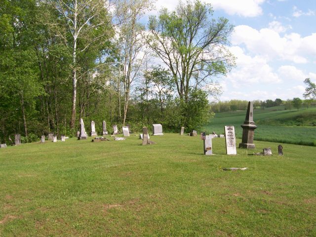
| Description | : | The Stevenson-Ruffner Cemetery is located on the east side of the Snake Run Road, just north of Richland Road, outside Rushville, Ohio (Richland Township, Fairfield County). The cemetery is located in Richland Township, Fairfield County, Ohio, and is # 3252 (Campground Cemetery / Stevenson Cemetery) in “Ohio Cemeteries 1803-2003”, compiled by the Ohio Genealogical Society. The U.S. Geological Survey (USGS) Geographic Names Information System (GNIS) feature ID for the cemetery is 1076421 (Monroe Cemetery / Drakes Cemetery). |
frequently asked questions (FAQ):
-
Where is Stevenson Ruffner Cemetery?
Stevenson Ruffner Cemetery is located at Snake Run Road NE Richland Township, Fairfield County ,Ohio , 43150USA.
-
Stevenson Ruffner Cemetery cemetery's updated grave count on graveviews.com?
3 memorials
-
Where are the coordinates of the Stevenson Ruffner Cemetery?
Latitude: 39.7863998
Longitude: -82.4582977
Nearby Cemetories:
1. Kaufman-Valentine Cemetery
West Rushville, Fairfield County, USA
Coordinate: 39.7932050, -82.4650100
2. Pleasant Hill Cemetery
Richland Township, Fairfield County, USA
Coordinate: 39.8014810, -82.4450760
3. Chapel Cemetery
Fairfield County, USA
Coordinate: 39.8017006, -82.4443970
4. Friend-Ruffner Cemetery
West Rushville, Fairfield County, USA
Coordinate: 39.7714005, -82.4728012
5. West Rushville Cemetery
West Rushville, Fairfield County, USA
Coordinate: 39.7644005, -82.4424973
6. Oakthorpe Cemetery
Rushville, Fairfield County, USA
Coordinate: 39.8064570, -82.4365170
7. New Oakthorpe Cemetery
Oakthorpe, Fairfield County, USA
Coordinate: 39.8072170, -82.4371580
8. Oakthorpe Cemetery
Thornville, Perry County, USA
Coordinate: 39.8074690, -82.4370610
9. Kerlin - Morrow Cemetery
Rushville, Fairfield County, USA
Coordinate: 39.7727240, -82.4285320
10. Teel Cemetery
Pleasantville, Fairfield County, USA
Coordinate: 39.7961390, -82.4937630
11. Reid Cemetery
Rushville, Fairfield County, USA
Coordinate: 39.8050003, -82.4199982
12. Rushville Pleasant Hill Cemetery
Rushville, Fairfield County, USA
Coordinate: 39.7599983, -82.4278030
13. Cloud Cemetery
Oakthorpe, Fairfield County, USA
Coordinate: 39.8184250, -82.4372430
14. Winegardner Cemetery
Fairfield County, USA
Coordinate: 39.7921010, -82.4094060
15. Baptist Corners Cemetery
Lancaster, Fairfield County, USA
Coordinate: 39.7732520, -82.5059350
16. Rinehart Cemetery
Pleasantville, Fairfield County, USA
Coordinate: 39.8170410, -82.4908020
17. Custard Cemetery
Rushville, Fairfield County, USA
Coordinate: 39.8168983, -82.4231033
18. Tent Church Cemetery
Lancaster, Fairfield County, USA
Coordinate: 39.7485929, -82.4819305
19. Grace Evangelical Lutheran Church Cemetery
Lancaster, Fairfield County, USA
Coordinate: 39.7491330, -82.4894720
20. Drumm Cemetery
Fairfield County, USA
Coordinate: 39.8181000, -82.4169006
21. Woolard Cemetery
Fairfield County, USA
Coordinate: 39.8306007, -82.4468994
22. Combs Family Cemetery
Somerset, Perry County, USA
Coordinate: 39.7765920, -82.3927970
23. Saint Mathews Cemetery
Lancaster, Fairfield County, USA
Coordinate: 39.7461014, -82.5017014
24. Hampson Cemetery
Pleasantville, Fairfield County, USA
Coordinate: 39.8025017, -82.5261002


