
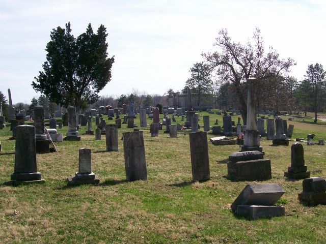
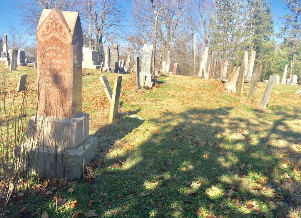
| Memorials | : | 100 |
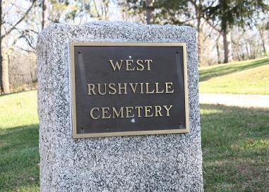
| Location | : | West Rushville, Fairfield County, USA |
| Coordinate | : | 39.7644005, -82.4424973 |
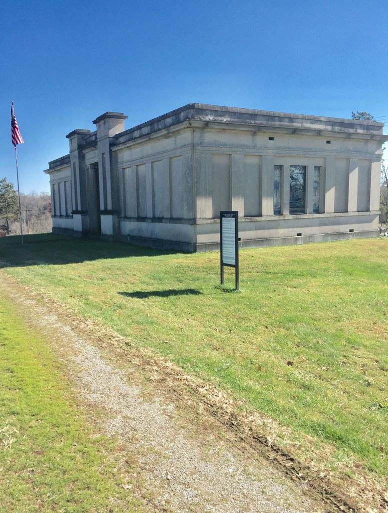
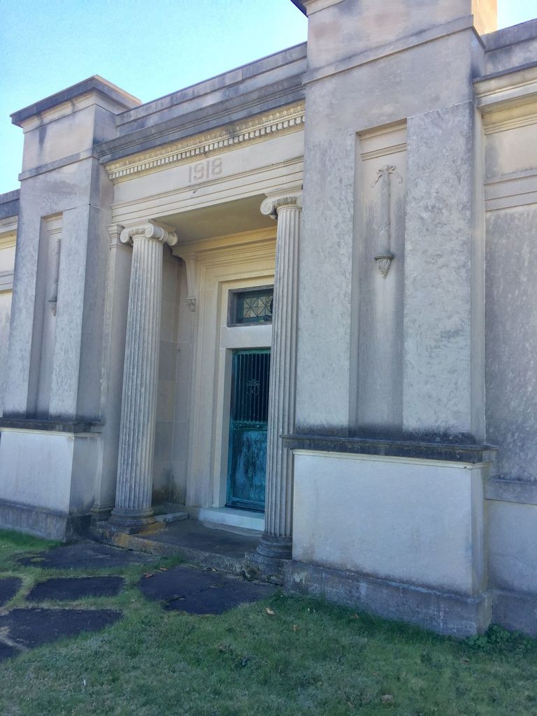
| Description | : | The cemetery is located on the south side of E Main Street / Rushville Road NE (County Road 77) about 0.2 miles east of its intersection with Broad Street. The cemetery is located in Richland Township, Fairfield County, Ohio, and is # 3270 (West Rushville Cemetery) in “Ohio Cemeteries 1803-2003”, compiled by the Ohio Genealogical Society. The cemetery is registered with the Ohio Division of Real Estate and Professional Licensing (ODRE) as West Rushville Cemetery with registration license number CRC.0000982225. The U.S. Geological Survey (USGS) Geographic Names Information System (GNIS) feature ID for the cemetery is 1806878 (West... Read More |
frequently asked questions (FAQ):
-
Where is West Rushville Cemetery?
West Rushville Cemetery is located at E Main Street / Rushville Road NE (County Road 77) West Rushville, Fairfield County ,Ohio , 43150USA.
-
West Rushville Cemetery cemetery's updated grave count on graveviews.com?
96 memorials
-
Where are the coordinates of the West Rushville Cemetery?
Latitude: 39.7644005
Longitude: -82.4424973
Nearby Cemetories:
1. Rushville Pleasant Hill Cemetery
Rushville, Fairfield County, USA
Coordinate: 39.7599983, -82.4278030
2. Kerlin - Morrow Cemetery
Rushville, Fairfield County, USA
Coordinate: 39.7727240, -82.4285320
3. Friend-Ruffner Cemetery
West Rushville, Fairfield County, USA
Coordinate: 39.7714005, -82.4728012
4. Stevenson Ruffner Cemetery
Richland Township, Fairfield County, USA
Coordinate: 39.7863998, -82.4582977
5. Kaufman-Valentine Cemetery
West Rushville, Fairfield County, USA
Coordinate: 39.7932050, -82.4650100
6. Tent Church Cemetery
Lancaster, Fairfield County, USA
Coordinate: 39.7485929, -82.4819305
7. Pleasant Hill Cemetery
Richland Township, Fairfield County, USA
Coordinate: 39.8014810, -82.4450760
8. Chapel Cemetery
Fairfield County, USA
Coordinate: 39.8017006, -82.4443970
9. Winegardner Cemetery
Fairfield County, USA
Coordinate: 39.7921010, -82.4094060
10. Grace Evangelical Lutheran Church Cemetery
Lancaster, Fairfield County, USA
Coordinate: 39.7491330, -82.4894720
11. Combs Family Cemetery
Somerset, Perry County, USA
Coordinate: 39.7765920, -82.3927970
12. Oakthorpe Cemetery
Rushville, Fairfield County, USA
Coordinate: 39.8064570, -82.4365170
13. New Oakthorpe Cemetery
Oakthorpe, Fairfield County, USA
Coordinate: 39.8072170, -82.4371580
14. Oakthorpe Cemetery
Thornville, Perry County, USA
Coordinate: 39.8074690, -82.4370610
15. Reid Cemetery
Rushville, Fairfield County, USA
Coordinate: 39.8050003, -82.4199982
16. Pisgah Cemetery
Perry County, USA
Coordinate: 39.7546997, -82.3833008
17. Grandview Cemetery
Bremen, Fairfield County, USA
Coordinate: 39.7202988, -82.4156036
18. Avlon UB Church Cemetery
Bremen, Fairfield County, USA
Coordinate: 39.7436260, -82.3850150
19. Fleure Family Cemetery
Reading Township, Perry County, USA
Coordinate: 39.7439800, -82.3846820
20. Saint Mathews Cemetery
Lancaster, Fairfield County, USA
Coordinate: 39.7461014, -82.5017014
21. Baptist Corners Cemetery
Lancaster, Fairfield County, USA
Coordinate: 39.7732520, -82.5059350
22. Teel Cemetery
Pleasantville, Fairfield County, USA
Coordinate: 39.7961390, -82.4937630
23. Cloud Cemetery
Oakthorpe, Fairfield County, USA
Coordinate: 39.8184250, -82.4372430
24. Custard Cemetery
Rushville, Fairfield County, USA
Coordinate: 39.8168983, -82.4231033