
| Memorials | : | 10738 |
| Location | : | Sacramento, Sacramento County, USA |
| Phone | : | (916) 256-2659 |
| Website | : | sunsetlawn.chapelofthechimes.com |
| Coordinate | : | 38.6514816, -121.4384842 |
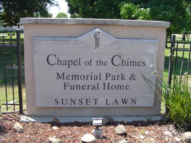
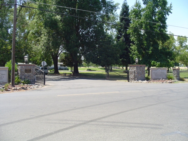
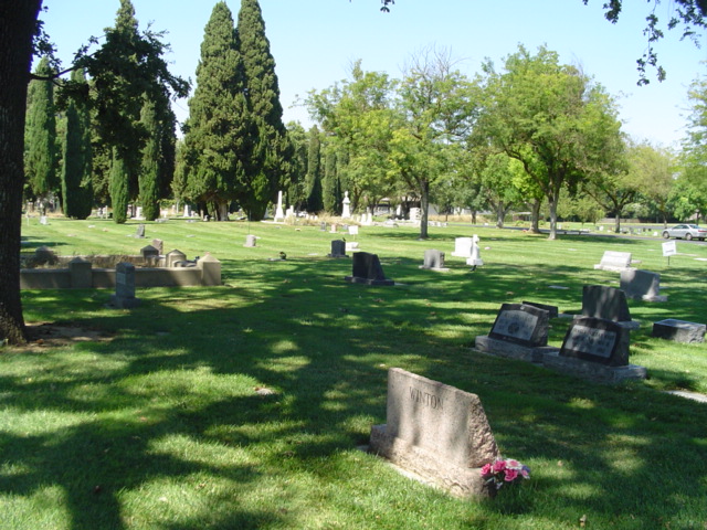
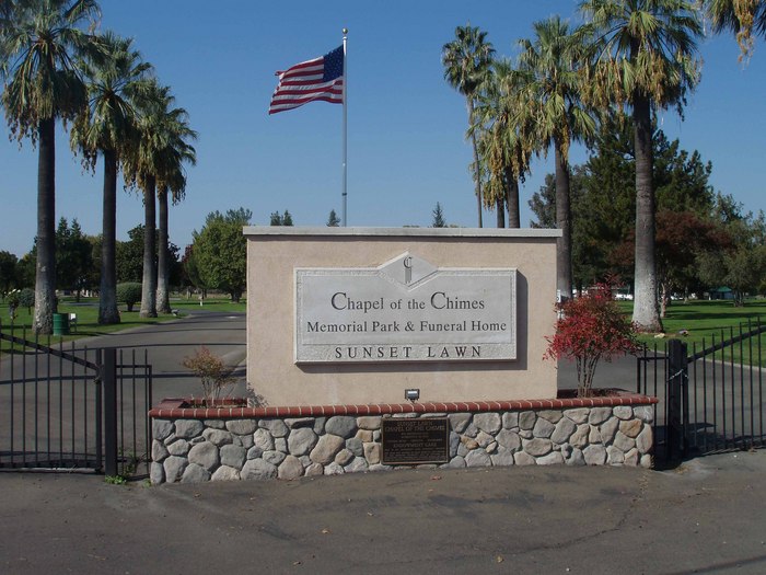
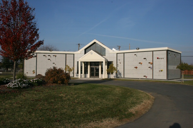
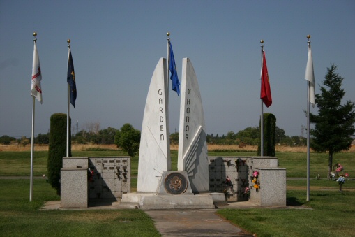
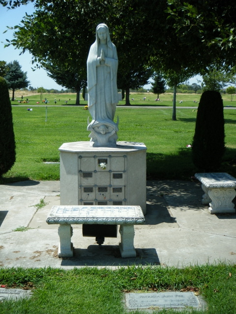
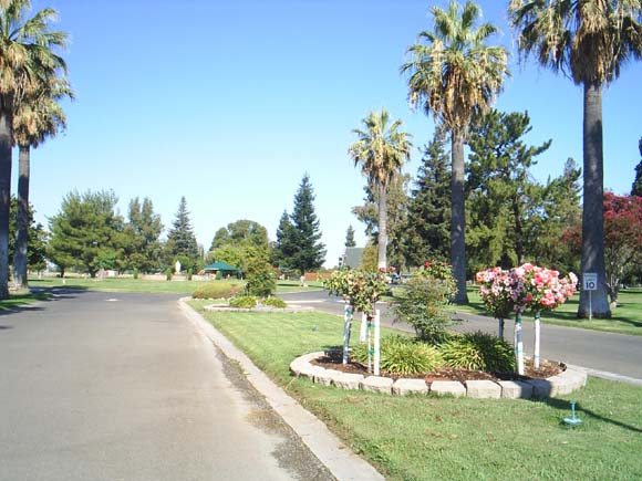
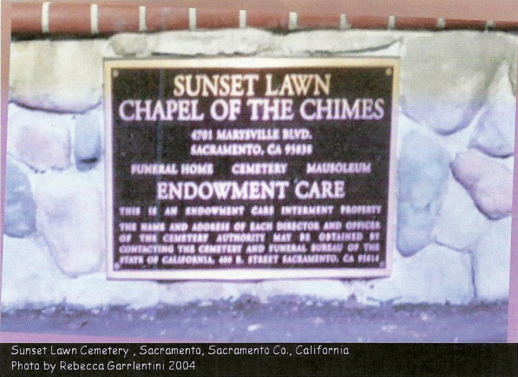
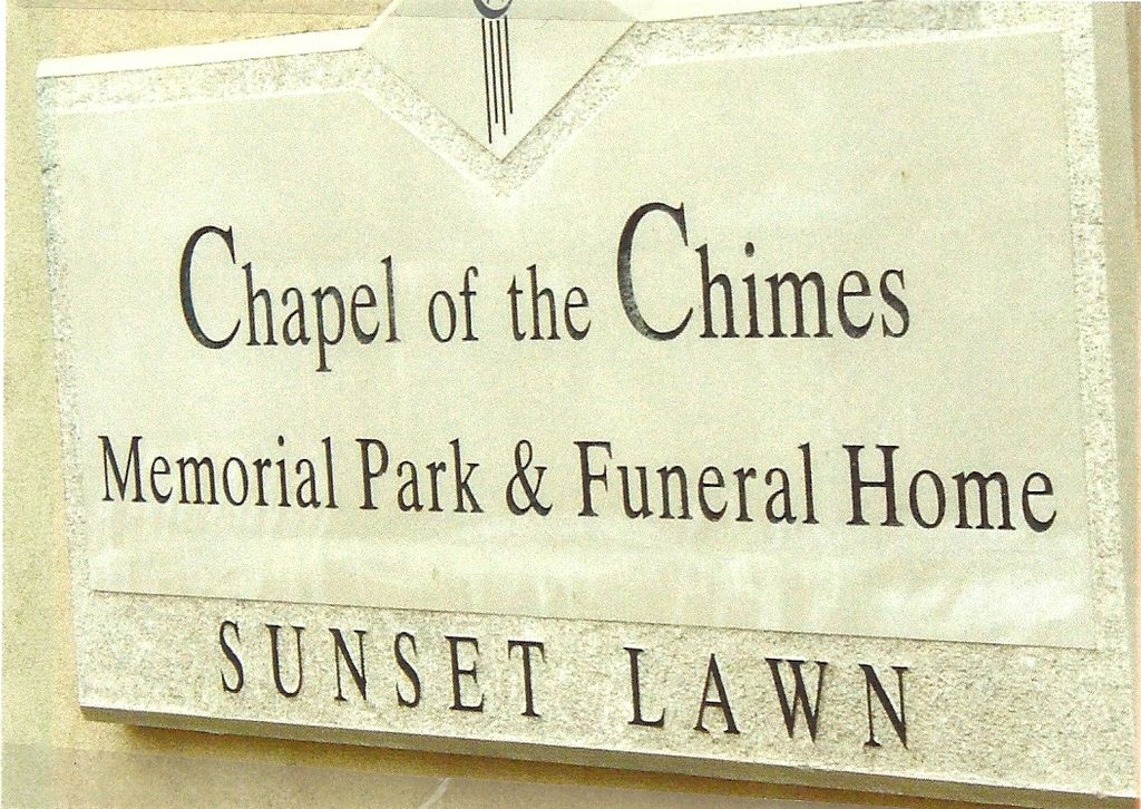
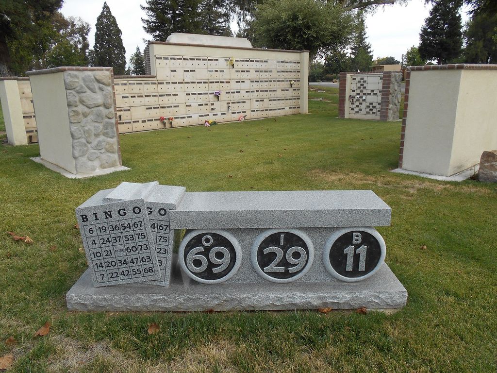
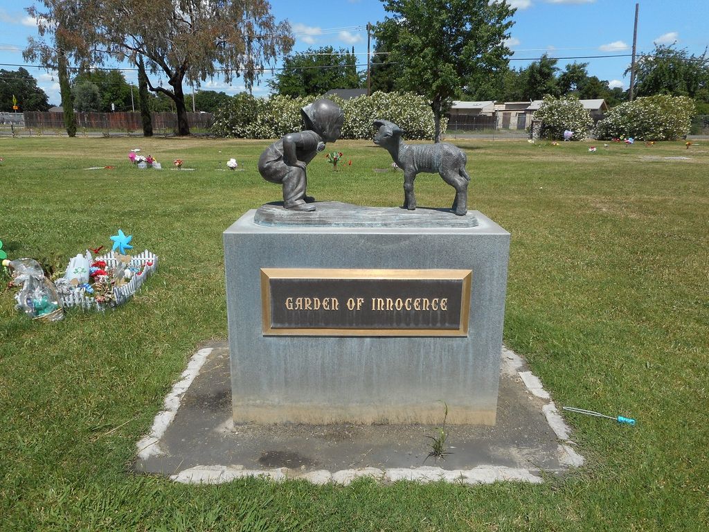
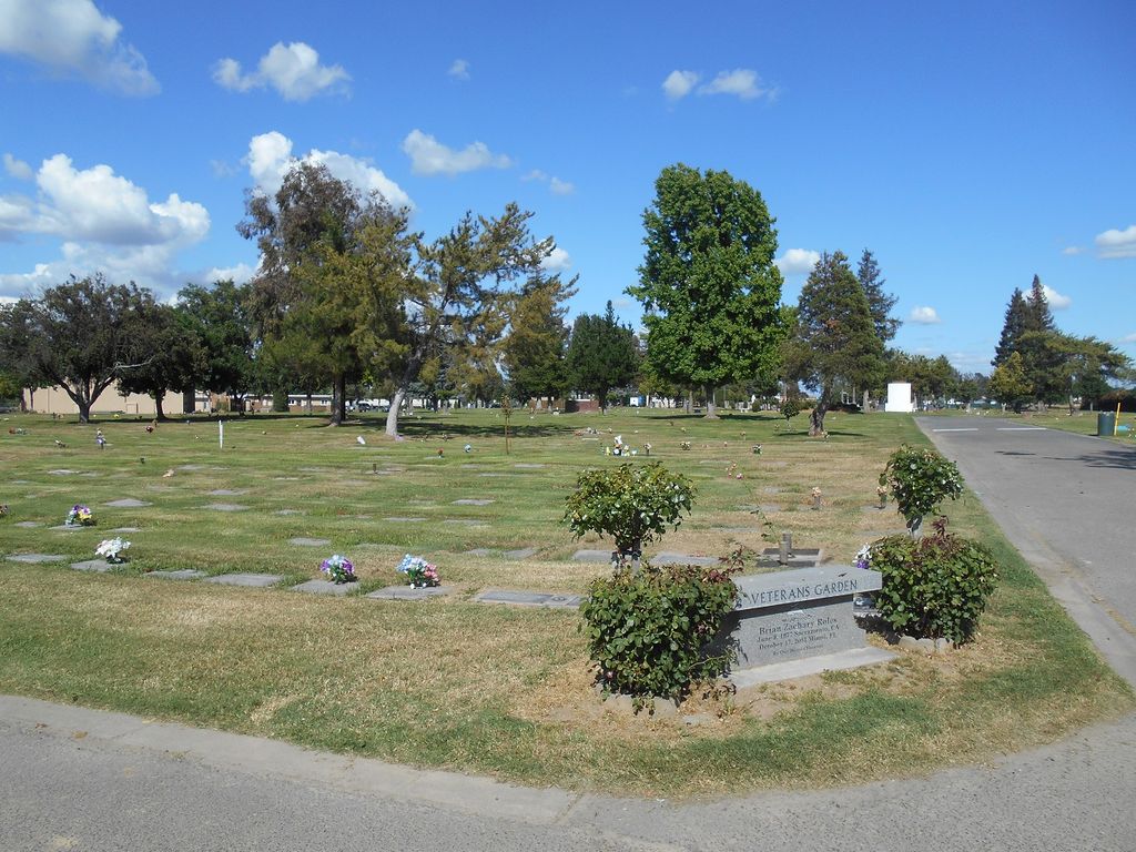
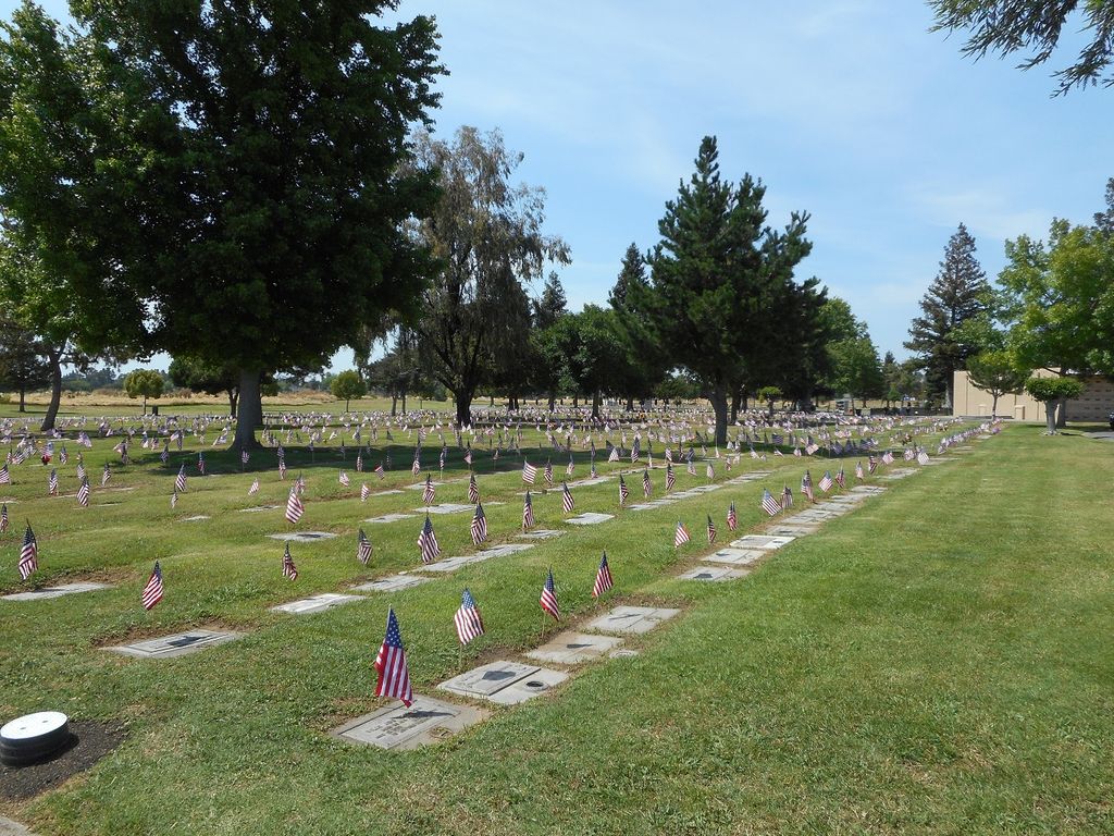
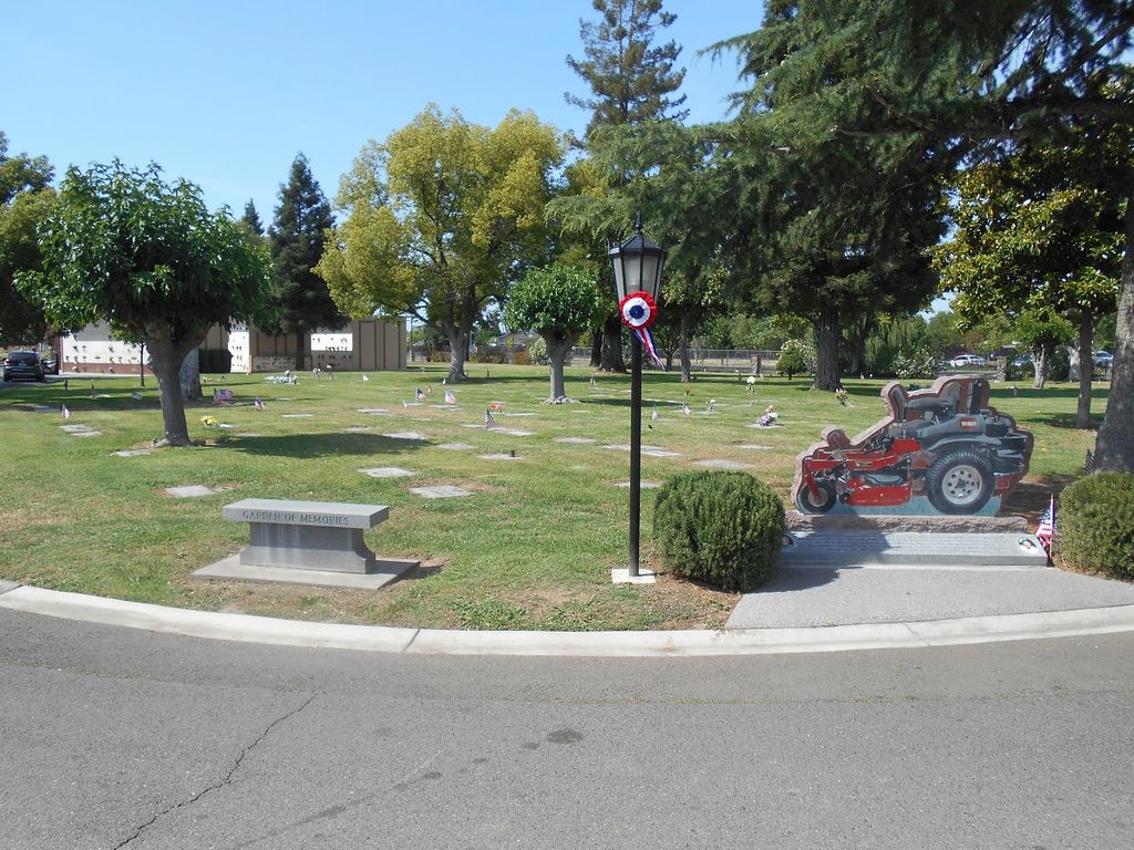
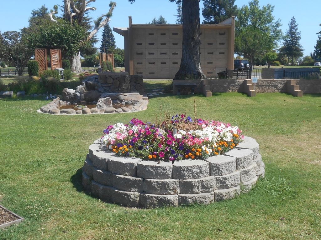
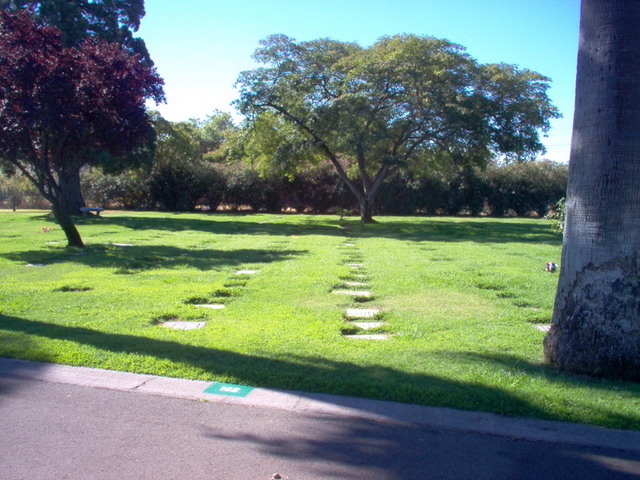
| Description | : | Located in Sacramento County, this memorial lawn was originally established in 1938 as Grant Memorial Lawn (12 acres). A little over 20 years later in 1959, the memorial lawn became Sunset Lawn Chapel of the Chimes. It is a full-service facility which has expanded to 94 acres. There are 7 mausoleums and many beautiful gardens some of which are dedicated to various ethnic, cultural, religious and military affiliations. At the front entrance there is a chapel and funeral home. There is a Garden of Honor section with flags honoring the different branches of the service. |
frequently asked questions (FAQ):
-
Where is Sunset Lawn Chapel of the Chimes Memorial Park?
Sunset Lawn Chapel of the Chimes Memorial Park is located at 4701 Marysville Blvd Sacramento, Sacramento County ,California , 95838USA.
-
Sunset Lawn Chapel of the Chimes Memorial Park cemetery's updated grave count on graveviews.com?
10716 memorials
-
Where are the coordinates of the Sunset Lawn Chapel of the Chimes Memorial Park?
Latitude: 38.6514816
Longitude: -121.4384842
Nearby Cemetories:
1. Kim Quang Temple Columbarium
Sacramento, Sacramento County, USA
Coordinate: 38.5996600, -121.3904700
2. Saint Marks Methodist Church Memorial Tree
Sacramento, Sacramento County, USA
Coordinate: 38.6076500, -121.3750680
3. Holy Ascension Russian Orthodox Cemetery
Sacramento, Sacramento County, USA
Coordinate: 38.5846212, -121.4936736
4. Saint Michaels Episcopal Church Columbarium
Carmichael, Sacramento County, USA
Coordinate: 38.6042800, -121.3547200
5. New Helvetia Cemetery (Defunct)
Sacramento, Sacramento County, USA
Coordinate: 38.5731600, -121.4639900
6. Trinity Episcopal Cathedral Columbarium
Sacramento, Sacramento County, USA
Coordinate: 38.5705500, -121.4723770
7. Union Cemetery
Roseville, Placer County, USA
Coordinate: 38.7302600, -121.3924200
8. California State Capitol
Sacramento, Sacramento County, USA
Coordinate: 38.5760994, -121.4931488
9. Carmichael Presbyterian Church Columbarium
Carmichael, Sacramento County, USA
Coordinate: 38.6179500, -121.3324500
10. East Lawn Memorial Park
Sacramento, Sacramento County, USA
Coordinate: 38.5612960, -121.4492760
11. Sierra Hills Pet Cemetery
Sacramento, Sacramento County, USA
Coordinate: 38.6863500, -121.3305300
12. Sierra Hills Memorial Park
Sacramento, Sacramento County, USA
Coordinate: 38.6843987, -121.3281021
13. National Shrine of Our Lady of Guadalupe Crypt
Sacramento, Sacramento County, USA
Coordinate: 38.5704800, -121.5014400
14. Buddhist Church of Sacramento Nokotsudo
Sacramento, Sacramento County, USA
Coordinate: 38.5639300, -121.4978400
15. Calvary Catholic Cemetery and Mausoleum
Sacramento, Sacramento County, USA
Coordinate: 38.6937180, -121.3233109
16. Saint Joseph Cemetery
Sacramento, Sacramento County, USA
Coordinate: 38.5574989, -121.4835968
17. Sacramento City Cemetery
Sacramento, Sacramento County, USA
Coordinate: 38.5636864, -121.5009537
18. Sunset Hill Cemetery
Sacramento, Sacramento County, USA
Coordinate: 38.5608000, -121.5037300
19. Masonic Lawn Cemetery
Sacramento, Sacramento County, USA
Coordinate: 38.5604720, -121.5032600
20. Odd Fellows Lawn Cemetery and Mausoleum
Sacramento, Sacramento County, USA
Coordinate: 38.5585000, -121.5011000
21. Pho Minh Temple Columbarium
Sacramento, Sacramento County, USA
Coordinate: 38.5340100, -121.4769000
22. Saint Mary's Catholic Cemetery and Mausoleum
Sacramento, Sacramento County, USA
Coordinate: 38.5298900, -121.4261200
23. Sacramento County Hospital Cemetery
Sacramento, Sacramento County, USA
Coordinate: 38.5289300, -121.4239100
24. Fair Oaks Cemetery
Fair Oaks, Sacramento County, USA
Coordinate: 38.6501167, -121.2792000