
| Memorials | : | 10001 |
| Location | : | Sacramento, Sacramento County, USA |
| Phone | : | (916) 732-2020 |
| Website | : | www.eastlawn.com/ |
| Coordinate | : | 38.6843987, -121.3281021 |
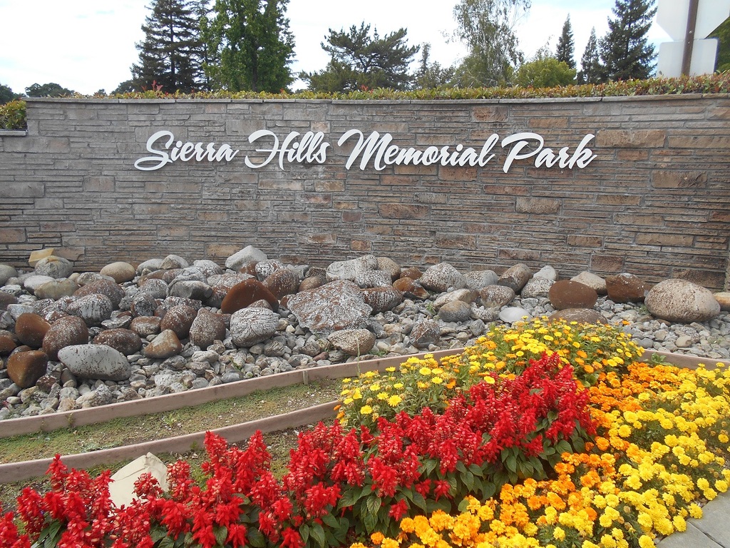
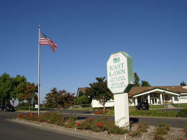
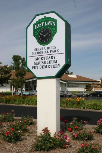
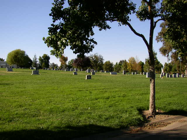
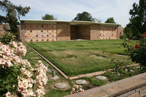
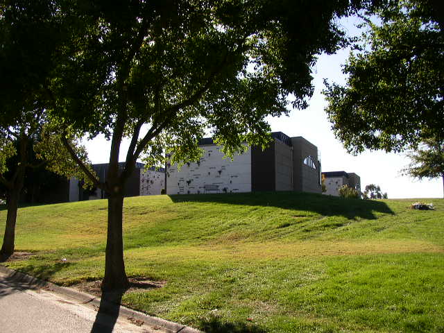
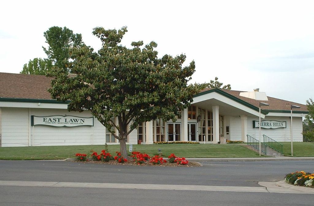
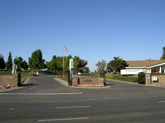
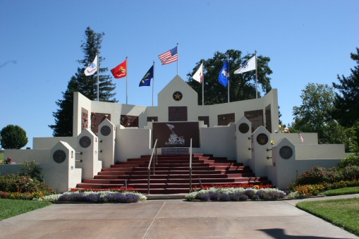
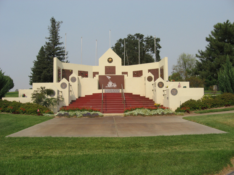
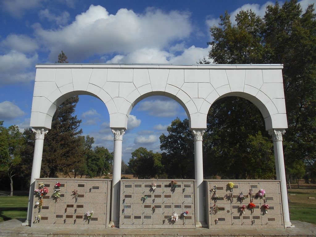
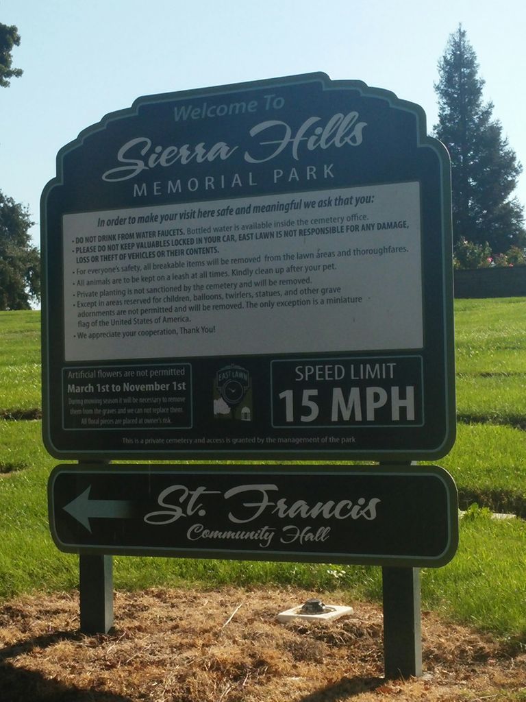
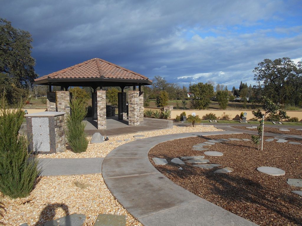
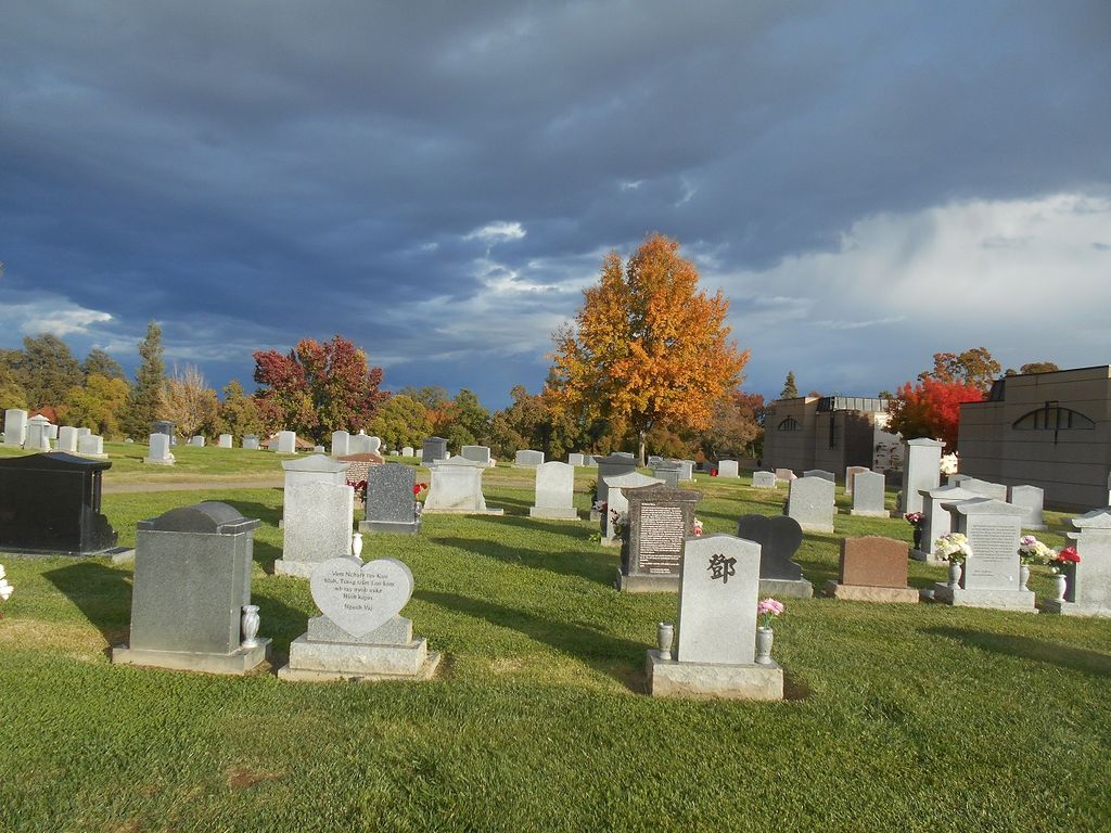
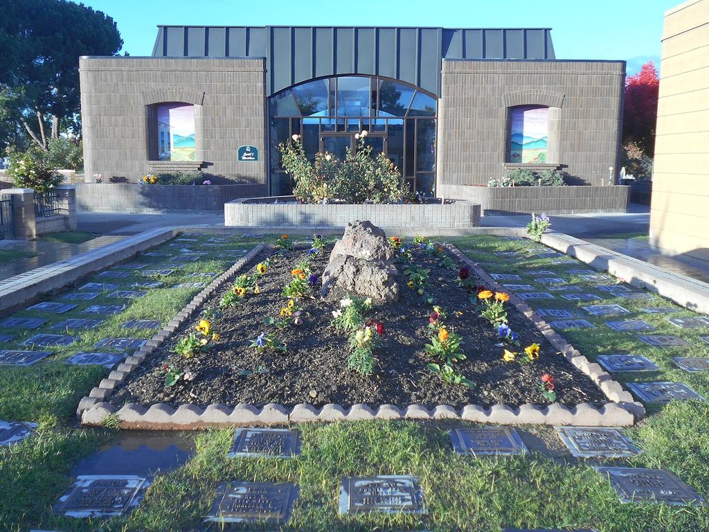
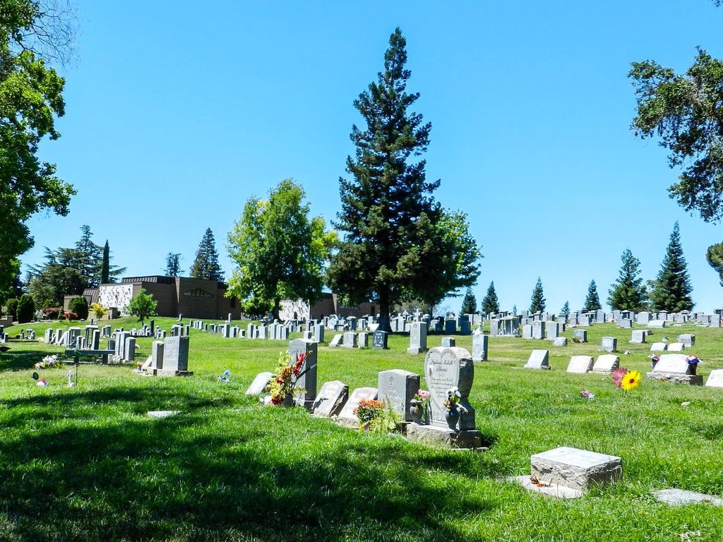
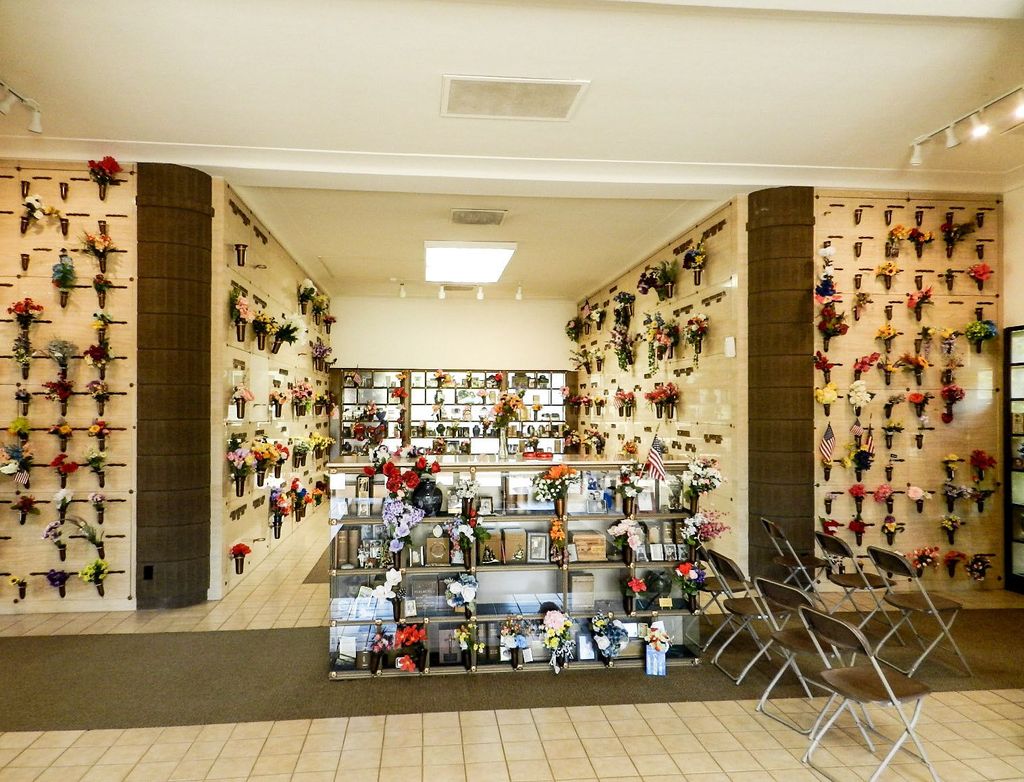
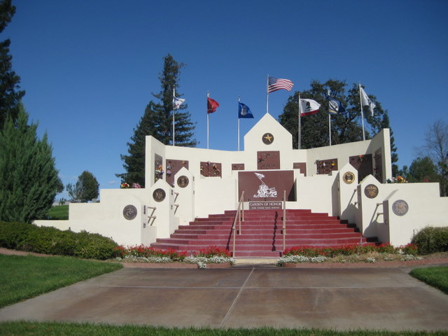
| Description | : | Sierra Hills Memorial Park was established in 1957. It is also known as East Lawn Sierra Hills Memorial Park, a branch of the original East Lawn Memorial Park founded in Sacramento, California in 1904. Sierra Hills Memorial Park is located on Greenback Lane a short distance from I-80 and consists of 70 acres on rolling hills with the Sierra Nevada mountains sometimes viewable at a distance. There are wide expanses of grassy hills for in-ground burials, as well as both indoor and outdoor niches and crypts. Gethsemane Mausoleum and Urn Garden are located toward the back... Read More |
frequently asked questions (FAQ):
-
Where is Sierra Hills Memorial Park?
Sierra Hills Memorial Park is located at 5757 Greenback Lane Sacramento, Sacramento County ,California , 95841USA.
-
Sierra Hills Memorial Park cemetery's updated grave count on graveviews.com?
8 memorials
-
Where are the coordinates of the Sierra Hills Memorial Park?
Latitude: 38.6843987
Longitude: -121.3281021
Nearby Cemetories:
1. Sierra Hills Pet Cemetery
Sacramento, Sacramento County, USA
Coordinate: 38.6863500, -121.3305300
2. Calvary Catholic Cemetery and Mausoleum
Sacramento, Sacramento County, USA
Coordinate: 38.6937180, -121.3233109
3. Sylvan Cemetery
Citrus Heights, Sacramento County, USA
Coordinate: 38.7001534, -121.2904587
4. Fair Oaks Cemetery
Fair Oaks, Sacramento County, USA
Coordinate: 38.6501167, -121.2792000
5. Mount Vernon Memorial Park
Fair Oaks, Sacramento County, USA
Coordinate: 38.6800003, -121.2566986
6. Fair Oaks United Methodist Church Memorial Garden
Fair Oaks, Sacramento County, USA
Coordinate: 38.6396300, -121.2744600
7. Carmichael Presbyterian Church Columbarium
Carmichael, Sacramento County, USA
Coordinate: 38.6179500, -121.3324500
8. Union Cemetery
Roseville, Placer County, USA
Coordinate: 38.7302600, -121.3924200
9. Saint Michaels Episcopal Church Columbarium
Carmichael, Sacramento County, USA
Coordinate: 38.6042800, -121.3547200
10. Saint Marks Methodist Church Memorial Tree
Sacramento, Sacramento County, USA
Coordinate: 38.6076500, -121.3750680
11. Boothill Cemetery
Roseville, Placer County, USA
Coordinate: 38.7598730, -121.2712130
12. Roseville Public Cemetery District
Roseville, Placer County, USA
Coordinate: 38.7606010, -121.2707977
13. Sunset Lawn Chapel of the Chimes Memorial Park
Sacramento, Sacramento County, USA
Coordinate: 38.6514816, -121.4384842
14. Kim Quang Temple Columbarium
Sacramento, Sacramento County, USA
Coordinate: 38.5996600, -121.3904700
15. Kilgore Cemetery
Rancho Cordova, Sacramento County, USA
Coordinate: 38.5978012, -121.2683029
16. School House Park Cemetery
Roseville, Placer County, USA
Coordinate: 38.7893180, -121.3578670
17. China Mission-Chung Wah Chinese Cemetery
Folsom, Sacramento County, USA
Coordinate: 38.6698410, -121.1851790
18. Lakeside Memorial Lawn Cemetery
Folsom, Sacramento County, USA
Coordinate: 38.6715300, -121.1841000
19. Young Wo Cemetery
Folsom, Sacramento County, USA
Coordinate: 38.6733400, -121.1835000
20. Saint John the Baptist Catholic Church Cemetery
Folsom, Sacramento County, USA
Coordinate: 38.6721900, -121.1803000
21. F.O.E. 929 Cemetery
Folsom, Sacramento County, USA
Coordinate: 38.6717010, -121.1801010
22. Rocklin Cemetery
Rocklin, Placer County, USA
Coordinate: 38.7827670, -121.2337980
23. Folsom Prison Cemetery
Folsom, Sacramento County, USA
Coordinate: 38.6952860, -121.1636690
24. Shepherd of the Sierra Memorial Garden
Loomis, Placer County, USA
Coordinate: 38.7890800, -121.1944200