| Memorials | : | 0 |
| Location | : | Sutton Coldfield, Metropolitan Borough of Birmingham, England |
| Coordinate | : | 52.5687500, -1.8138500 |
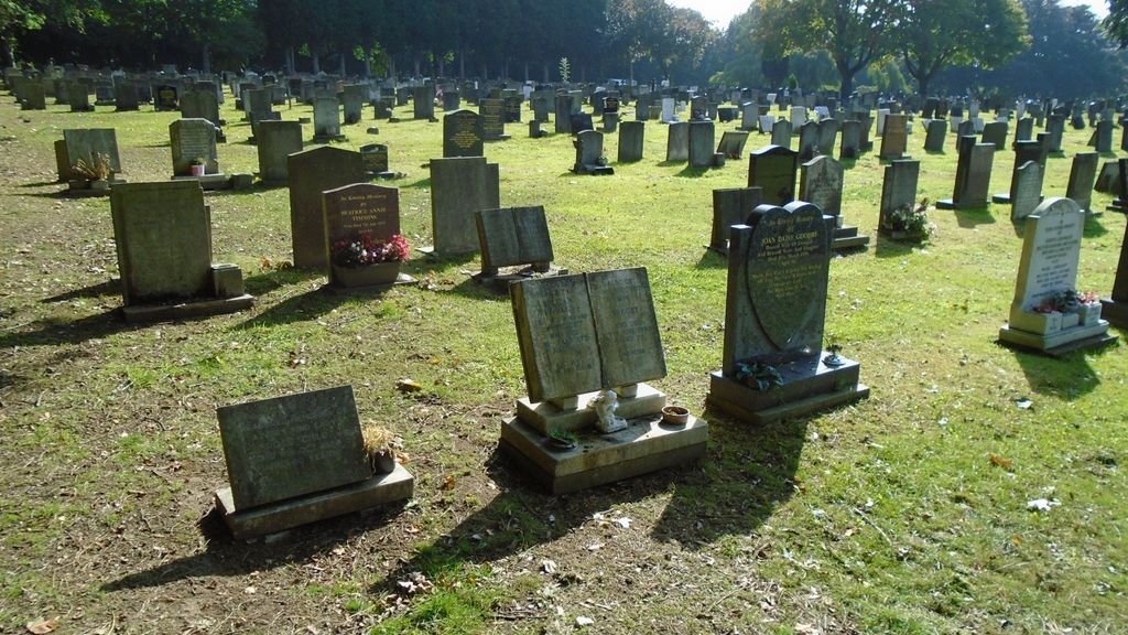
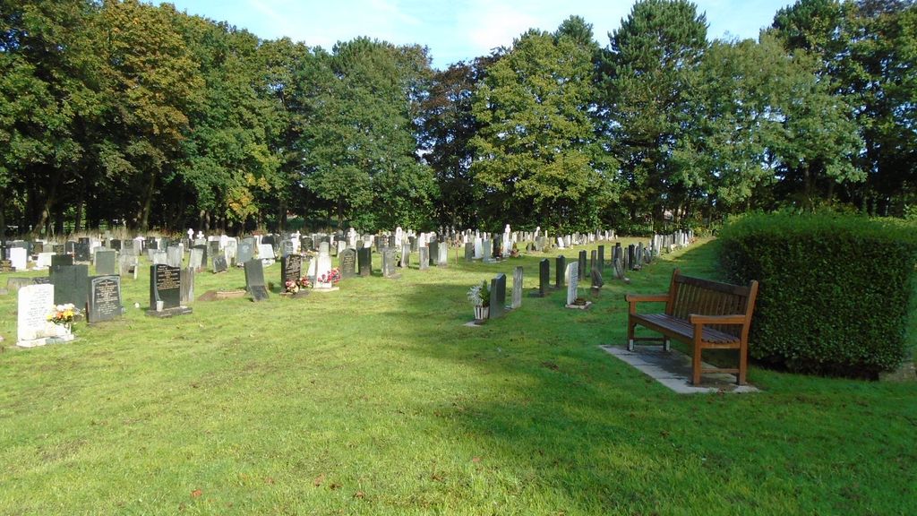
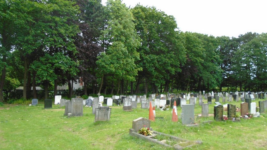
| Description | : | The 7 acre Sutton Coldfield Cemetery was opened in 1881 as an additional burial ground for Holy Trinity Church. The 10 acre extension was added in 1934. |
frequently asked questions (FAQ):
-
Where is Sutton Coldfield Cemetery Extension?
Sutton Coldfield Cemetery Extension is located at Sutton Coldfield, Metropolitan Borough of Birmingham ,West Midlands ,England.
-
Sutton Coldfield Cemetery Extension cemetery's updated grave count on graveviews.com?
0 memorials
-
Where are the coordinates of the Sutton Coldfield Cemetery Extension?
Latitude: 52.5687500
Longitude: -1.8138500
Nearby Cemetories:
1. Sutton Coldfield Cemetery
Sutton Coldfield, Metropolitan Borough of Birmingham, England
Coordinate: 52.5668200, -1.8146000
2. Holy Trinity Churchyard
Sutton Coldfield, Metropolitan Borough of Birmingham, England
Coordinate: 52.5641890, -1.8216280
3. Sutton New Hall Cemetery
Sutton Coldfield, Metropolitan Borough of Birmingham, England
Coordinate: 52.5676300, -1.7843800
4. St. James’ Church Hill
Sutton Coldfield, Metropolitan Borough of Birmingham, England
Coordinate: 52.5883010, -1.8241610
5. Sutton Coldfield Crematorium
Sutton Coldfield, Metropolitan Borough of Birmingham, England
Coordinate: 52.5869060, -1.7886810
6. St. John's Churchyard
Walmley, Metropolitan Borough of Birmingham, England
Coordinate: 52.5394480, -1.7995369
7. St. Michael's Churchyard
Boldmere, Metropolitan Borough of Birmingham, England
Coordinate: 52.5421250, -1.8393150
8. Oscott College Cemetery
Sutton Coldfield, Metropolitan Borough of Birmingham, England
Coordinate: 52.5406600, -1.8512000
9. Pelsall Parish Church Graveyard
Pelsall, Metropolitan Borough of Walsall, England
Coordinate: 52.5893632, -1.8628608
10. St Thomas of Canterbury
Erdington, Metropolitan Borough of Birmingham, England
Coordinate: 52.5283500, -1.8356200
11. Erdington Greek Orthodox Churchyard
Erdington, Metropolitan Borough of Birmingham, England
Coordinate: 52.5267800, -1.8369700
12. St Peters Churchyard
Little Aston, Lichfield District, England
Coordinate: 52.6010000, -1.8662300
13. St John the Baptist Churchyard
Middleton, North Warwickshire Borough, England
Coordinate: 52.5826140, -1.7406020
14. Saint Chad's Churchyard
Wishaw, North Warwickshire Borough, England
Coordinate: 52.5486700, -1.7408600
15. St. Barnabas Churchyard
Erdington, Metropolitan Borough of Birmingham, England
Coordinate: 52.5225500, -1.8392400
16. Witton Jewish Cemetery
Birmingham, Metropolitan Borough of Birmingham, England
Coordinate: 52.5342500, -1.8808700
17. Streetly Cemetery and Crematorium
Aldridge, Metropolitan Borough of Walsall, England
Coordinate: 52.5866900, -1.9045200
18. St Nicholas Churchyard
Curdworth, North Warwickshire Borough, England
Coordinate: 52.5326700, -1.7388000
19. Witton Cemetery
Witton, Metropolitan Borough of Birmingham, England
Coordinate: 52.5265230, -1.8827870
20. St Bartholomew Churchyard
Hints, Lichfield District, England
Coordinate: 52.6237460, -1.7683840
21. St. Mary and St. Margaret Churchyard
Castle Bromwich, Metropolitan Borough of Solihull, England
Coordinate: 52.5068700, -1.7918100
22. St. Mary the Virgin Churchyard
Weeford, Lichfield District, England
Coordinate: 52.6322300, -1.7923200
23. Old Churchyard
Water Orton, North Warwickshire Borough, England
Coordinate: 52.5201200, -1.7422100
24. St Mary the Virgin New Churchyard
Weeford, Lichfield District, England
Coordinate: 52.6330806, -1.7923083


