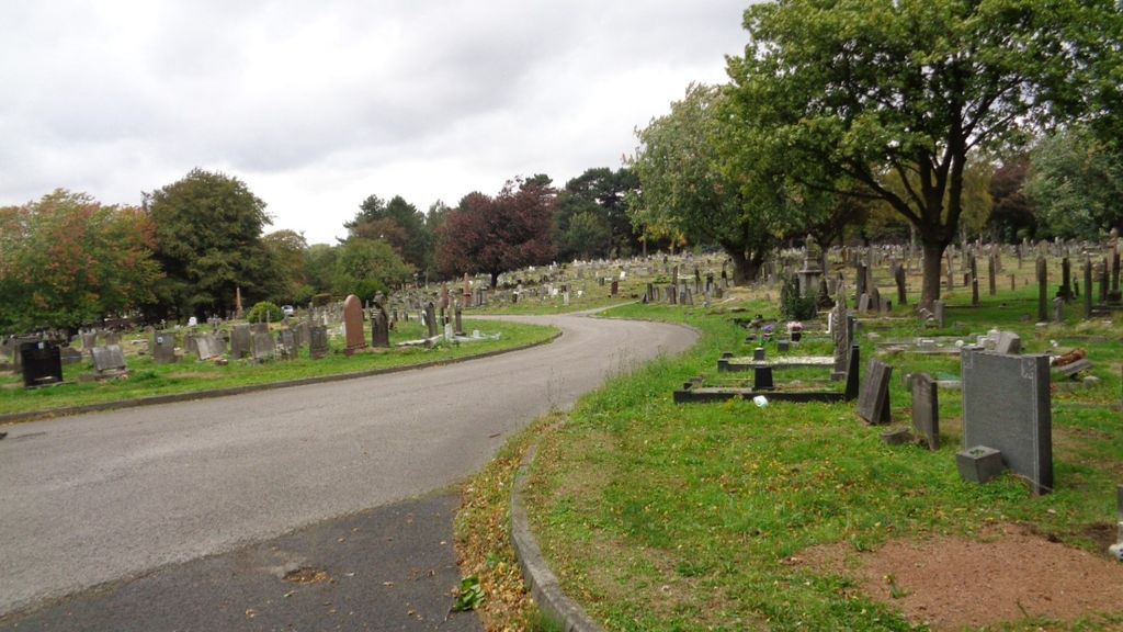
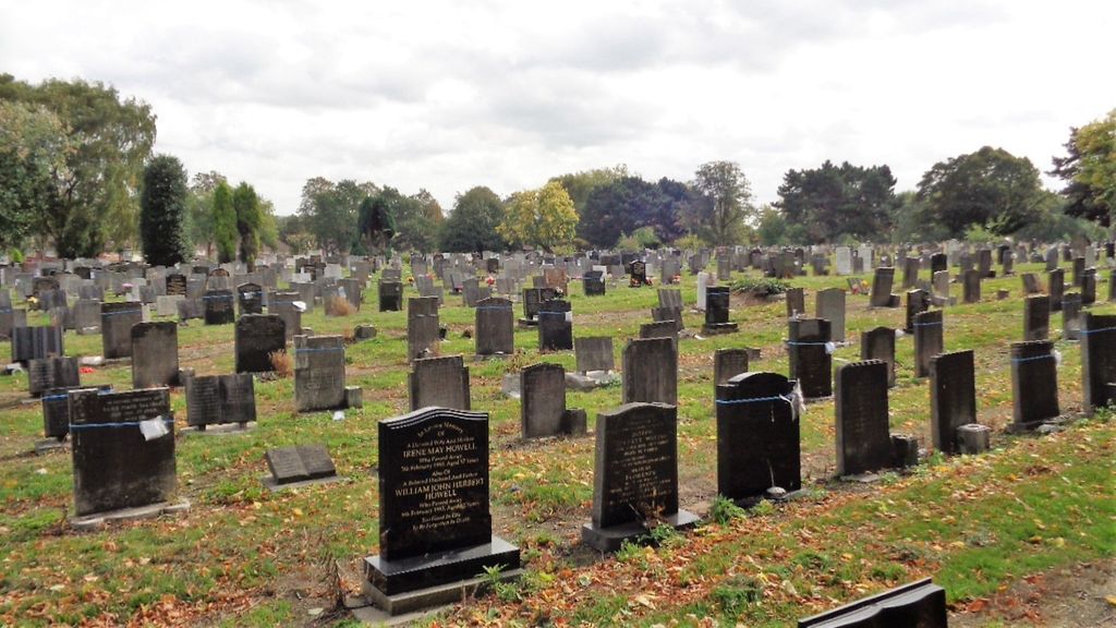
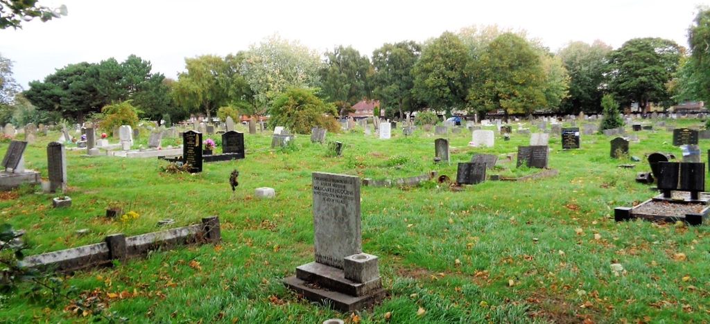
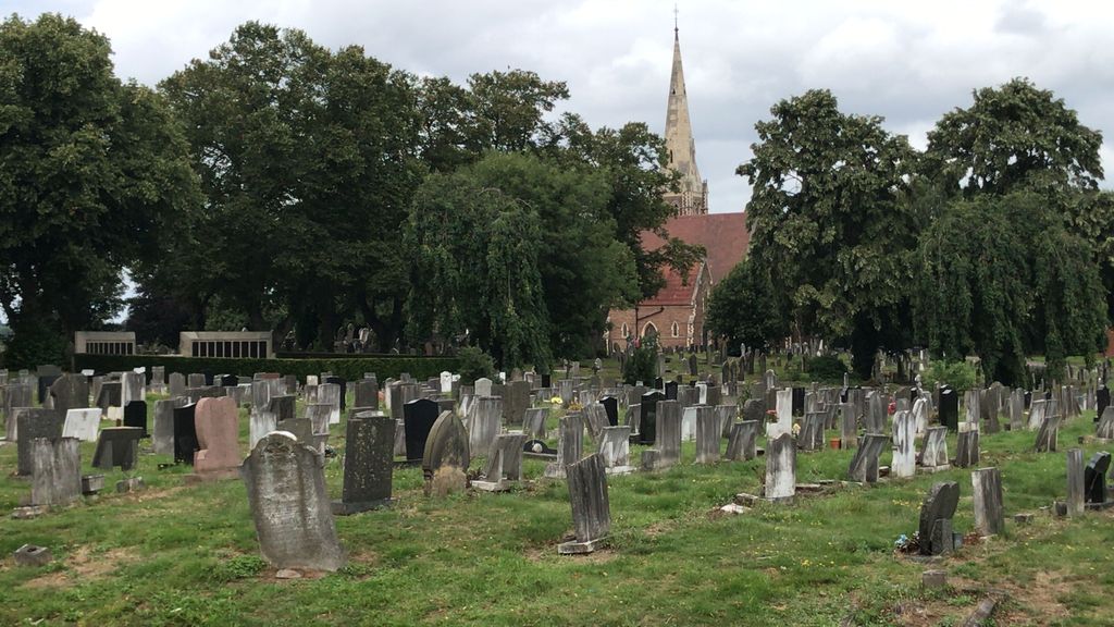
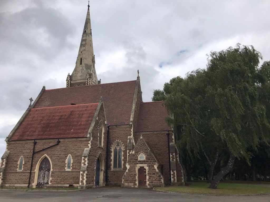
| Memorials | : | 4 |
| Location | : | Witton, Metropolitan Borough of Birmingham, England |
| Coordinate | : | 52.5265230, -1.8827870 |
| Description | : | address: Moor Lane, Witton, Birmingham B6 7AE FREE OF CHARGE: Grave location, provided a full name and date (or year) of death is given. SEARCH 1 within one year of approximate year of death up to three names. Register information included. £10.00 SEARCH 2 within two years of approximate date of death up to two names. Register Information included. £10.00 SEARCH 3 within three years of approximate date of death one name only. Register Information included. £10.00 Email address: [email protected] |
frequently asked questions (FAQ):
-
Where is Witton Cemetery?
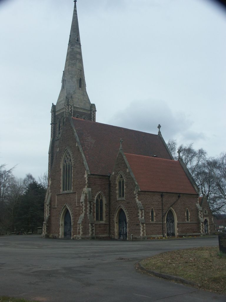
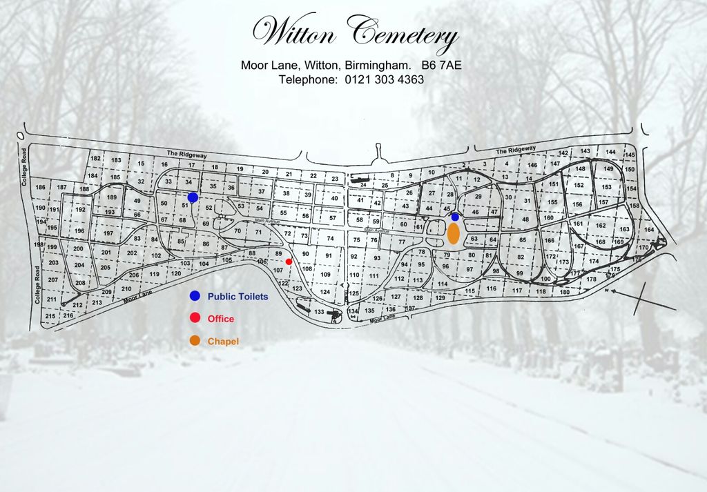
Witton Cemetery is located at Moor Lane Witton, Metropolitan Borough of Birmingham ,West Midlands , B6 7AEEngland.
-
Witton Cemetery cemetery's updated grave count on graveviews.com?
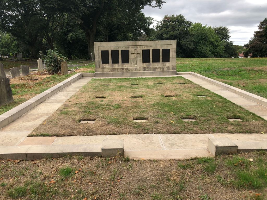
4 memorials
-
Where are the coordinates of the Witton Cemetery?
Latitude: 52.5265230
Longitude: -1.8827870
Nearby Cemetories:
1. Witton Jewish Cemetery
Birmingham, Metropolitan Borough of Birmingham, England
Coordinate: 52.5342500, -1.8808700
2. St John the Evangelist Churchyard
Perry Barr, Metropolitan Borough of Birmingham, England
Coordinate: 52.5260757, -1.9005234
3. Birmingham Crematorium
Birmingham, Metropolitan Borough of Birmingham, England
Coordinate: 52.5288170, -1.9094020
4. St Peter and St Paul Churchyard
Aston, Metropolitan Borough of Birmingham, England
Coordinate: 52.5070340, -1.8796590
5. Oscott College Cemetery
Sutton Coldfield, Metropolitan Borough of Birmingham, England
Coordinate: 52.5406600, -1.8512000
6. St. Barnabas Churchyard
Erdington, Metropolitan Borough of Birmingham, England
Coordinate: 52.5225500, -1.8392400
7. St. Mary's Churchyard
Handsworth, Metropolitan Borough of Birmingham, England
Coordinate: 52.5106700, -1.9193690
8. Erdington Greek Orthodox Churchyard
Erdington, Metropolitan Borough of Birmingham, England
Coordinate: 52.5267800, -1.8369700
9. St Josephs Churchyard
Nechells, Metropolitan Borough of Birmingham, England
Coordinate: 52.4989600, -1.8710100
10. St Thomas of Canterbury
Erdington, Metropolitan Borough of Birmingham, England
Coordinate: 52.5283500, -1.8356200
11. St. Michael's Churchyard
Boldmere, Metropolitan Borough of Birmingham, England
Coordinate: 52.5421250, -1.8393150
12. St. Matthews Churchyard
Duddeston, Metropolitan Borough of Birmingham, England
Coordinate: 52.4905400, -1.8775100
13. St. James the Less Churchyard
Birmingham, Metropolitan Borough of Birmingham, England
Coordinate: 52.4867050, -1.8797570
14. Key Hill Cemetery
Birmingham, Metropolitan Borough of Birmingham, England
Coordinate: 52.4908400, -1.9158600
15. St. Saviour Churchyard
Saltley, Metropolitan Borough of Birmingham, England
Coordinate: 52.4872100, -1.8579400
16. Saint Marys Chapel (Defunct)
Birmingham, Metropolitan Borough of Birmingham, England
Coordinate: 52.4850600, -1.8961600
17. All Saints Churchyard
Hockley, Metropolitan Borough of Birmingham, England
Coordinate: 52.4915890, -1.9218570
18. St. Margaret's Churchyard
Ward End, Metropolitan Borough of Birmingham, England
Coordinate: 52.4953100, -1.8341300
19. Warstone Lane Cemetery
Birmingham, Metropolitan Borough of Birmingham, England
Coordinate: 52.4874340, -1.9139250
20. St. Paul's Churchyard
Birmingham, Metropolitan Borough of Birmingham, England
Coordinate: 52.4852472, -1.9057710
21. Handsworth Cemetery
Handsworth, Metropolitan Borough of Birmingham, England
Coordinate: 52.5160120, -1.9531440
22. St. Margaret's Churchyard
Great Barr, Metropolitan Borough of Birmingham, England
Coordinate: 52.5607000, -1.9295700
23. Old Quaker Burial Ground
Birmingham, Metropolitan Borough of Birmingham, England
Coordinate: 52.4823770, -1.8960750
24. Birmingham Cathedral
Birmingham, Metropolitan Borough of Birmingham, England
Coordinate: 52.4812000, -1.8989060

