
| Memorials | : | 0 |
| Location | : | Broughton Astley, Harborough District, England |
| Coordinate | : | 52.5389370, -1.2328020 |
frequently asked questions (FAQ):
-
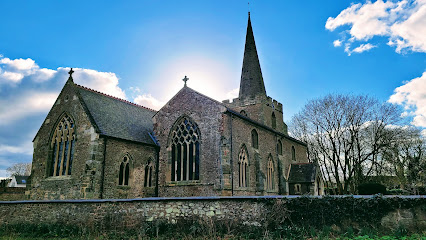
Where is Sutton Elms Baptist Chapelyard?
Sutton Elms Baptist Chapelyard is located at Broughton Astley, Harborough District ,Leicestershire ,England.
-
Sutton Elms Baptist Chapelyard cemetery's updated grave count on graveviews.com?
0 memorials
-
Where are the coordinates of the Sutton Elms Baptist Chapelyard?
Latitude: 52.5389370
Longitude: -1.2328020
Nearby Cemetories:
1. St Marys Parish Churchyard
Broughton Astley, Harborough District, England
Coordinate: 52.5287810, -1.2253600
2. Broughton Astley Cemetery
Broughton Astley, Harborough District, England
Coordinate: 52.5259830, -1.2325190
3. St Michael & All Angels
Croft, Blaby District, England
Coordinate: 52.5593821, -1.2484472
4. St Michael and All Angels Churchyard
Cosby, Blaby District, England
Coordinate: 52.5488260, -1.1933700
5. Cosby Cemetery
Cosby, Blaby District, England
Coordinate: 52.5560490, -1.1962970
6. All Saints
Sapcote, Blaby District, England
Coordinate: 52.5344520, -1.2810440
7. St Michael's Churchyard
Stoney Stanton, Blaby District, England
Coordinate: 52.5487420, -1.2794980
8. Nock Verges Cemetery
Stoney Stanton, Blaby District, England
Coordinate: 52.5492300, -1.2807020
9. Sapcote Cemetery
Sapcote, Blaby District, England
Coordinate: 52.5336420, -1.2842020
10. Saint Nicholas Churchyard
Frolesworth, Harborough District, England
Coordinate: 52.5112740, -1.2599970
11. St Peters Churchyard
Leire, Harborough District, England
Coordinate: 52.5053690, -1.2266430
12. St Helen
Sharnford, Blaby District, England
Coordinate: 52.5228440, -1.2886350
13. Huncote Cemetery
Huncote, Blaby District, England
Coordinate: 52.5764090, -1.2391220
14. Church of All Saints
Dunton Bassett, Harborough District, England
Coordinate: 52.5091000, -1.1946000
15. All Saints Churchyard
Narborough, Blaby District, England
Coordinate: 52.5730420, -1.2038480
16. St Peter Churchyard
Ashby Parva, Harborough District, England
Coordinate: 52.4930340, -1.2272720
17. Saint Peter's Churchyard
Whetstone, Blaby District, England
Coordinate: 52.5727910, -1.1788510
18. Whetstone Cemetery
Whetstone, Blaby District, England
Coordinate: 52.5722900, -1.1779200
19. St Mary's Churchyard
Willoughby Waterleys, Harborough District, England
Coordinate: 52.5270920, -1.1532770
20. All Saints Churchyard
Thurlaston, Blaby District, England
Coordinate: 52.5870530, -1.2599600
21. St Peter's Church
Aston Flamville, Blaby District, England
Coordinate: 52.5307260, -1.3187510
22. St John the Baptist Churchyard
Enderby, Blaby District, England
Coordinate: 52.5901570, -1.2077130
23. Enderby New Cemetery
Enderby, Blaby District, England
Coordinate: 52.5902330, -1.2048290
24. Enderby Dissenters' Cemetery
Enderby, Blaby District, England
Coordinate: 52.5904190, -1.2049480