| Memorials | : | 0 |
| Location | : | Douglas County, USA |
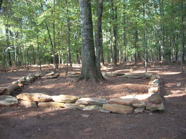
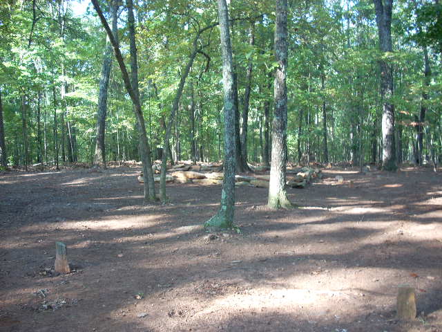
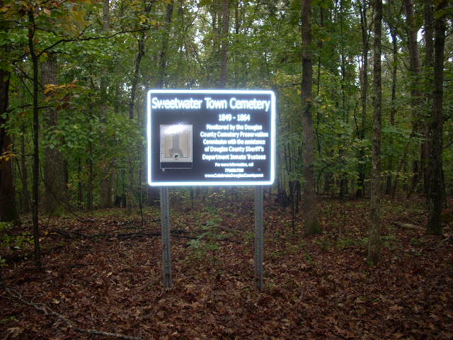
| Description | : | This cemetery served as the town cemetery for the mill village that housed workers at Sweetwater Manufacturing Company. The mill commenced operations in 1849 and was destroyed by Sherman's troops in 1864 because it made cloth for Confederate uniforms. Workers were removed from the site and were shipped north of the Ohio River by train. There are about 100 graves marked only by fieldstones that date from 1849 to 1864, the fifteen years that the village existed. Since 2009 it has been cleaned every autumn by a Douglas County Sheriff's inmate crew supervised by the Douglas County Cemetery... Read More |
frequently asked questions (FAQ):
-
Where is Sweetwater Town Cemetery?
Sweetwater Town Cemetery is located at No GPS information available Add GPSSweetwater Creek State Park Douglas County ,Georgia , 30122USA.
-
Sweetwater Town Cemetery cemetery's updated grave count on graveviews.com?
0 memorials
Nearby Cemetories:
1. Owl Brothers-Cherokee Indians
Sweetwater Bluff, Douglas County, USA
Coordinate: 33.7029700, -84.7645500
2. Smith-Collins Family Cemetery
Chapel Hill, Douglas County, USA
Coordinate: 33.6852600, -84.7165000
3. Allen Family Cemetery
Douglas County, USA
Coordinate: 33.6707740, -84.7208230
4. Beulah Baptist Church Cemetery
Douglas County, USA
Coordinate: 33.6960240, -84.6344270
5. Carnes-Milam Cemetery
Douglas County, USA
Coordinate: 33.6125200, -84.8920520
6. Clinton Family Cemetery
Douglas County, USA
Coordinate: 33.7473500, -84.7541100
7. Ayers-Stovall Cemetery
Douglasville, Douglas County, USA
Coordinate: 33.6182970, -84.8153060
8. Bearden Church of Christ Cemetery
Douglasville, Douglas County, USA
Coordinate: 33.7217700, -84.7765800
9. Believers Church Cemetery
Douglasville, Douglas County, USA
Coordinate: 33.7391730, -84.7882320
10. Benson Cemetery
Douglasville, Douglas County, USA
Coordinate: 33.7367760, -84.6971520
11. Bright Star Cemetery
Douglasville, Douglas County, USA
Coordinate: 33.6229580, -84.8321050
12. Brock Family Cemetery
Douglasville, Douglas County, USA
Coordinate: 33.7376610, -84.7788120
13. Central Baptist Church Memorial Garden
Douglasville, Douglas County, USA
Coordinate: 33.7029700, -84.7645500
14. Chapel Hill Cemetery
Douglasville, Douglas County, USA
Coordinate: 33.6852600, -84.7165000
15. Chapel on the Hill Cemetery
Douglasville, Douglas County, USA
Coordinate: 33.6707740, -84.7208230
16. Connally Family Cemetery
Douglasville, Douglas County, USA
Coordinate: 33.6960240, -84.6344270
17. Douglas Chapel Church of God Cemetery
Douglasville, Douglas County, USA
Coordinate: 33.6125200, -84.8920520
18. Douglasville City Cemetery
Douglasville, Douglas County, USA
Coordinate: 33.7473500, -84.7541100
19. Ebenezer Baptist Church Cemetery
Douglasville, Douglas County, USA
Coordinate: 33.6182970, -84.8153060
20. Enterkin Family Cemetery
Douglasville, Douglas County, USA
Coordinate: 33.7217700, -84.7765800
21. Ergle-Hix Cemetery
Douglasville, Douglas County, USA
Coordinate: 33.7391730, -84.7882320
22. Fair View Church Cemetery
Douglasville, Douglas County, USA
Coordinate: 33.7367760, -84.6971520
23. Fairfield A. M. E. Church Cemetery
Douglasville, Douglas County, USA
Coordinate: 33.6229580, -84.8321050
24. Flat Rock Cemetery
Douglasville, Douglas County, USA
Coordinate: 33.7376610, -84.7788120


