
| Memorials | : | 0 |
| Location | : | Douglasville, Douglas County, USA |
| Coordinate | : | 33.7367760, -84.6971520 |
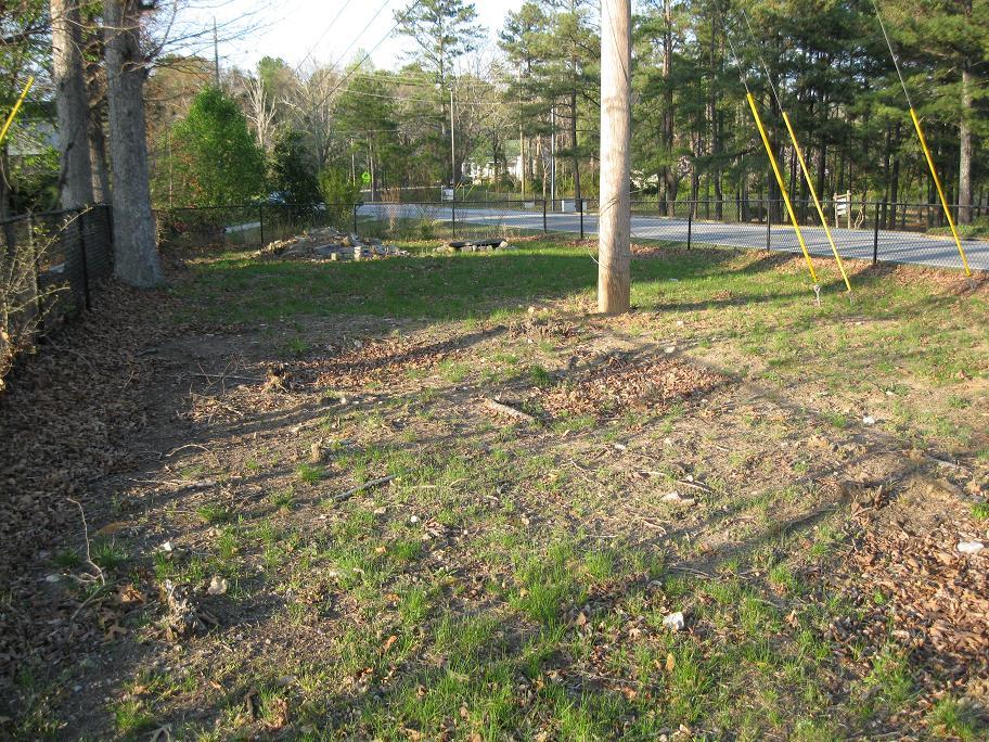
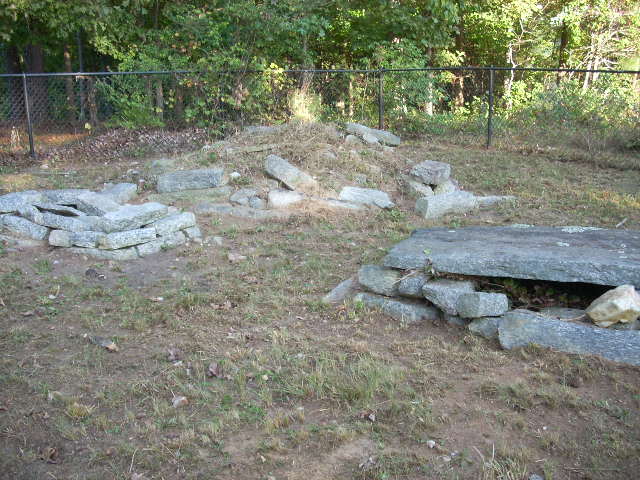
| Description | : | A small cemetery on the corner of Pope Rd. and St. Johns Dr., across from Chestnut Log Middle School. The church no longer exists and a fence surrounds the cemetery. Graves bare no inscriptions that can be seen. |
frequently asked questions (FAQ):
-
Where is Fair View Church Cemetery?
Fair View Church Cemetery is located at Douglasville, Douglas County ,Georgia ,USA.
-
Fair View Church Cemetery cemetery's updated grave count on graveviews.com?
0 memorials
-
Where are the coordinates of the Fair View Church Cemetery?
Latitude: 33.7367760
Longitude: -84.6971520
Nearby Cemetories:
1. Mount Carmel Primitive Baptist Church Cemetery
Douglasville, Douglas County, USA
Coordinate: 33.7416600, -84.6823700
2. Believers Church Cemetery
Douglasville, Douglas County, USA
Coordinate: 33.7240261, -84.6921704
3. Pepper Family Cemetery
Douglas County, USA
Coordinate: 33.7412030, -84.6818960
4. James Family Cemetery
Douglasville, Douglas County, USA
Coordinate: 33.7334600, -84.6792540
5. Roberts Cemetery
Douglas County, USA
Coordinate: 33.7555660, -84.6998690
6. Liberty Grove Cemetery
Douglasville, Douglas County, USA
Coordinate: 33.7515910, -84.6811150
7. County Line Baptist Church Cemetery
Lithia Springs, Douglas County, USA
Coordinate: 33.7564210, -84.6734280
8. New River Community Church Cemetery
Douglasville, Douglas County, USA
Coordinate: 33.7109030, -84.6618760
9. Forsyth Family Cemetery
Douglasville, Douglas County, USA
Coordinate: 33.7769220, -84.7055930
10. Beulah Baptist Church Cemetery
Douglas County, USA
Coordinate: 33.7795000, -84.7037900
11. Pleasant Grove Baptist Church Cemetery
Douglas County, USA
Coordinate: 33.7063751, -84.6582870
12. Liberty Methodist Episcopal Church Cemetery
Douglasville, Douglas County, USA
Coordinate: 33.7543530, -84.7486210
13. Rosehaven Cemetery
Douglasville, Douglas County, USA
Coordinate: 33.7453600, -84.7535300
14. Douglasville City Cemetery
Douglasville, Douglas County, USA
Coordinate: 33.7473500, -84.7541100
15. Gorman Cemetery
Douglas County, USA
Coordinate: 33.7097851, -84.6477179
16. Sunrise Memorial Gardens
Lithia Springs, Douglas County, USA
Coordinate: 33.7867012, -84.6956024
17. Boyd Slave Cemetery
Hilderbrand, Douglas County, USA
Coordinate: 33.6939590, -84.6661810
18. Brock Family Cemetery
Douglasville, Douglas County, USA
Coordinate: 33.6877190, -84.7160050
19. Sharpton Family Cemetery
Douglas County, USA
Coordinate: 33.7769890, -84.7365890
20. Saint Julians Memorial Garden
Douglasville, Douglas County, USA
Coordinate: 33.7089388, -84.7516909
21. Stone Family Cemetery
Lithia Springs, Douglas County, USA
Coordinate: 33.7778900, -84.6553120
22. Chapel Hill Cemetery
Douglasville, Douglas County, USA
Coordinate: 33.6852600, -84.7165000
23. Owl Brothers-Cherokee Indians
Sweetwater Bluff, Douglas County, USA
Coordinate: 33.7408280, -84.6323200
24. Tranquil AME Church Cemetery
Douglasville, Douglas County, USA
Coordinate: 33.6860950, -84.7221060