
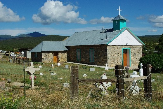
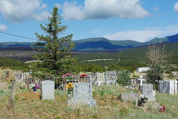
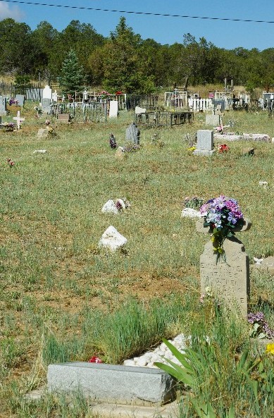
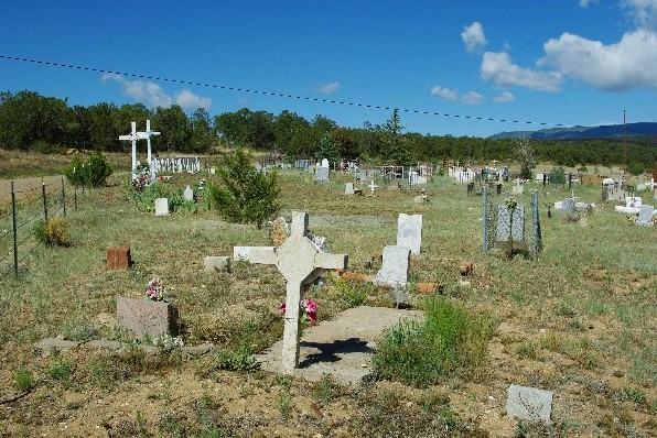
| Memorials | : | 1 |
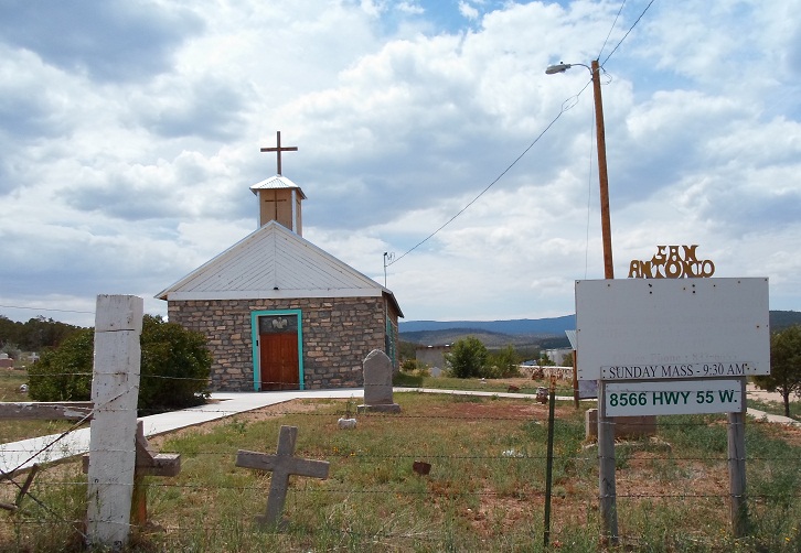
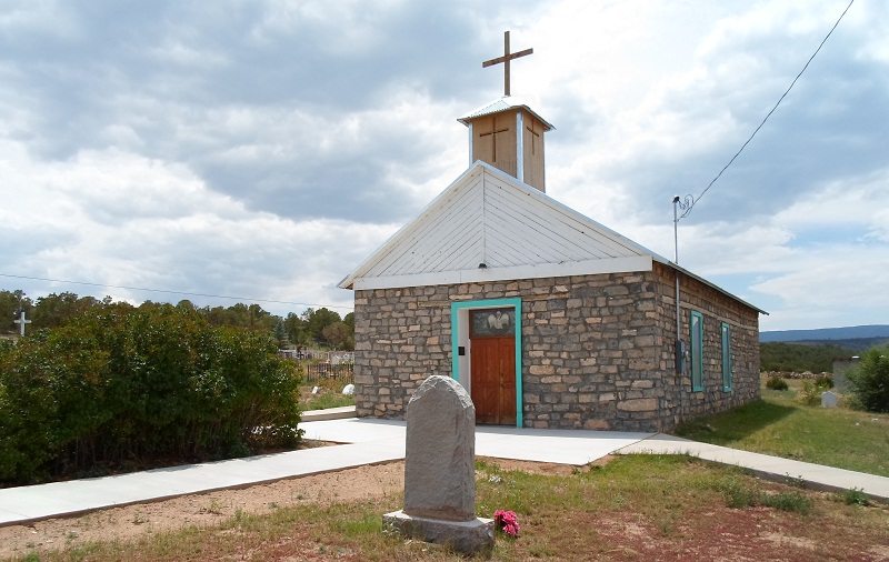
| Location | : | Tajique, Torrance County, USA |
| Coordinate | : | 34.7513640, -106.2884370 |
frequently asked questions (FAQ):
-
Where is Tajique Catholic Church Cemetery?
Tajique Catholic Church Cemetery is located at Tajique, Torrance County ,New Mexico ,USA.
-
Tajique Catholic Church Cemetery cemetery's updated grave count on graveviews.com?
1 memorials
-
Where are the coordinates of the Tajique Catholic Church Cemetery?
Latitude: 34.7513640
Longitude: -106.2884370


Nearby Cemetories:
1. Glover Ranch Cemetery
Tajique, Torrance County, USA
Coordinate: 34.7561500, -106.2866720
2. Torreon Catholic Cemetery
Torreon, Torrance County, USA
Coordinate: 34.7213210, -106.2997510
3. Torreon Cemetery
Torreon, Torrance County, USA
Coordinate: 34.7211900, -106.2997140
4. CLL Ranch Cemetery
Torreon, Torrance County, USA
Coordinate: 34.7207494, -106.2703326
5. Urban Family Ranch Cemetery
Estancia, Torrance County, USA
Coordinate: 34.7808126, -106.2597102
6. Garland Cemetery
Torrance County, USA
Coordinate: 34.7972220, -106.2352780
7. Campo Santo Cemetery
Manzano, Torrance County, USA
Coordinate: 34.6507000, -106.3492000
8. Manzano Hills Cemetery
Torrance County, USA
Coordinate: 34.6467018, -106.3443985
9. Our Lady of Sorrows Catholic Cemetery
Manzano, Torrance County, USA
Coordinate: 34.6467018, -106.3443985
10. Bosque Peak Cemetery
Torrance County, USA
Coordinate: 34.7655983, -106.4291992
11. Mount Calvary Cemetery
Torrance County, USA
Coordinate: 34.6343994, -106.2358017
12. Chilili New Cemetery
Chilili, Bernalillo County, USA
Coordinate: 34.8839800, -106.2229200
13. La Morada Cemetery
Chilili, Bernalillo County, USA
Coordinate: 34.8891700, -106.2337160
14. San Juan Nepomoceno
Chilili, Bernalillo County, USA
Coordinate: 34.8893350, -106.2326730
15. Saint John Nepomucene Cemetery
Torrance County, USA
Coordinate: 34.8894005, -106.2322006
16. Chilili Cemetery
Chilili, Bernalillo County, USA
Coordinate: 34.8894005, -106.2322006
17. Saint Vincent De Paul Catholic Church Cemetery
Mountainair, Torrance County, USA
Coordinate: 34.5999985, -106.2833023
18. Punta de Agua Community Cemetery
Punta de Agua, Torrance County, USA
Coordinate: 34.5978080, -106.2794970
19. Estancia Memorial Cemetery
Estancia, Torrance County, USA
Coordinate: 34.7406006, -106.0796967
20. La Cienega Mission Cemetery
Torrance County, USA
Coordinate: 34.5830994, -106.3313980
21. Escabosa Cemetery
Escabosa, Bernalillo County, USA
Coordinate: 34.9253910, -106.2814520
22. Purcella Eastview Cemetery
Torrance County, USA
Coordinate: 34.5783005, -106.3460999
23. Kayser-Eastview Cemetery
Torrance County, USA
Coordinate: 34.5783005, -106.3460999
24. Spencer Eastview Cemetery
Torrance County, USA
Coordinate: 34.5759830, -106.3639390