
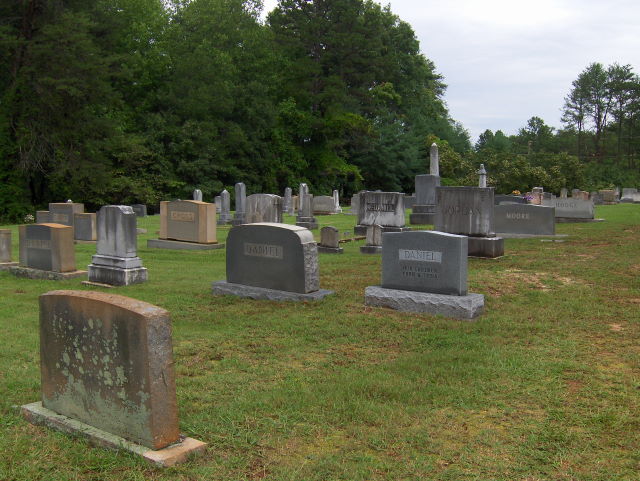
| Memorials | : | 50 |
| Location | : | Rutherford County, USA |
| Coordinate | : | 35.2905410, -81.9049720 |
frequently asked questions (FAQ):
-
Where is Tanners Grove United Methodist Cemetery?
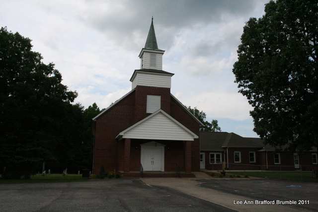
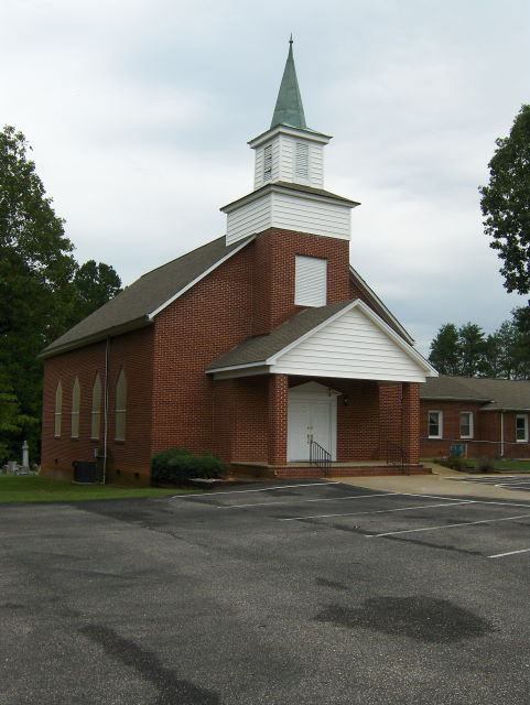
Tanners Grove United Methodist Cemetery is located at Rutherford County ,North Carolina ,USA.
-
Tanners Grove United Methodist Cemetery cemetery's updated grave count on graveviews.com?
50 memorials
-
Where are the coordinates of the Tanners Grove United Methodist Cemetery?
Latitude: 35.2905410
Longitude: -81.9049720
Nearby Cemetories:
1. Sulphur Springs Holiness Cemetery
Danieltown, Rutherford County, USA
Coordinate: 35.2844250, -81.9004050
2. Morning Star Baptist Cemetery
Forest City, Rutherford County, USA
Coordinate: 35.2851830, -81.8952620
3. Danieltown Baptist Church Cemetery
Danieltown, Rutherford County, USA
Coordinate: 35.2977100, -81.9127880
4. Word of Faith Fellowship Cemetery
Spindale, Rutherford County, USA
Coordinate: 35.2931390, -81.9189950
5. Bethany Baptist Church Cemetery
Forest City, Rutherford County, USA
Coordinate: 35.3029200, -81.8933260
6. Doggett Cemetery
Forest City, Rutherford County, USA
Coordinate: 35.2932710, -81.8780670
7. McDonald Family Cemetery
Forest City, Rutherford County, USA
Coordinate: 35.3075850, -81.8876240
8. Sulphur Springs Baptist Cemetery
Harris, Rutherford County, USA
Coordinate: 35.2646130, -81.8917710
9. Sunset Memorial Park
Forest City, Rutherford County, USA
Coordinate: 35.3200800, -81.9088050
10. Doggett Grove AME Zion Cemetery
Forest City, Rutherford County, USA
Coordinate: 35.2808050, -81.8686810
11. New Bethel AME Zion Cemetery
Forest City, Rutherford County, USA
Coordinate: 35.2816470, -81.8682090
12. Shiloh Baptist Cemetery
Shiloh, Rutherford County, USA
Coordinate: 35.2975160, -81.9424070
13. New Bethel Independent Church Cemetery
Forest City, Rutherford County, USA
Coordinate: 35.2802970, -81.8657590
14. Leawood Drive Cemetery
Rutherfordton, Rutherford County, USA
Coordinate: 35.2928150, -81.9527720
15. Little Huntley Church Cemetery
Rutherford County, USA
Coordinate: 35.3229870, -81.9340790
16. Holly Springs Baptist Church Cemetery
Forest City, Rutherford County, USA
Coordinate: 35.2508950, -81.9189940
17. Alexander Mills Cemetery
Alexander Mills, Rutherford County, USA
Coordinate: 35.3059100, -81.8566200
18. David Huntley Family Cemetery
Rutherfordton, Rutherford County, USA
Coordinate: 35.3255330, -81.9347790
19. Restoration Church Cemetery
Forest City, Rutherford County, USA
Coordinate: 35.3328200, -81.9228500
20. Oak Grove Missionary Baptist Church
Forest City, Rutherford County, USA
Coordinate: 35.3296300, -81.8782300
21. New Bethel Baptist Cemetery
Forest City, Rutherford County, USA
Coordinate: 35.2505264, -81.8770294
22. Morrow Curve Cemetery
Alexander Mills, Rutherford County, USA
Coordinate: 35.3007300, -81.8490800
23. Adaville Baptist Church Cemetery
Spindale, Rutherford County, USA
Coordinate: 35.3356680, -81.9201110
24. Kistlers Chapel Cemetery
Rutherford County, USA
Coordinate: 35.2677994, -81.9578018