
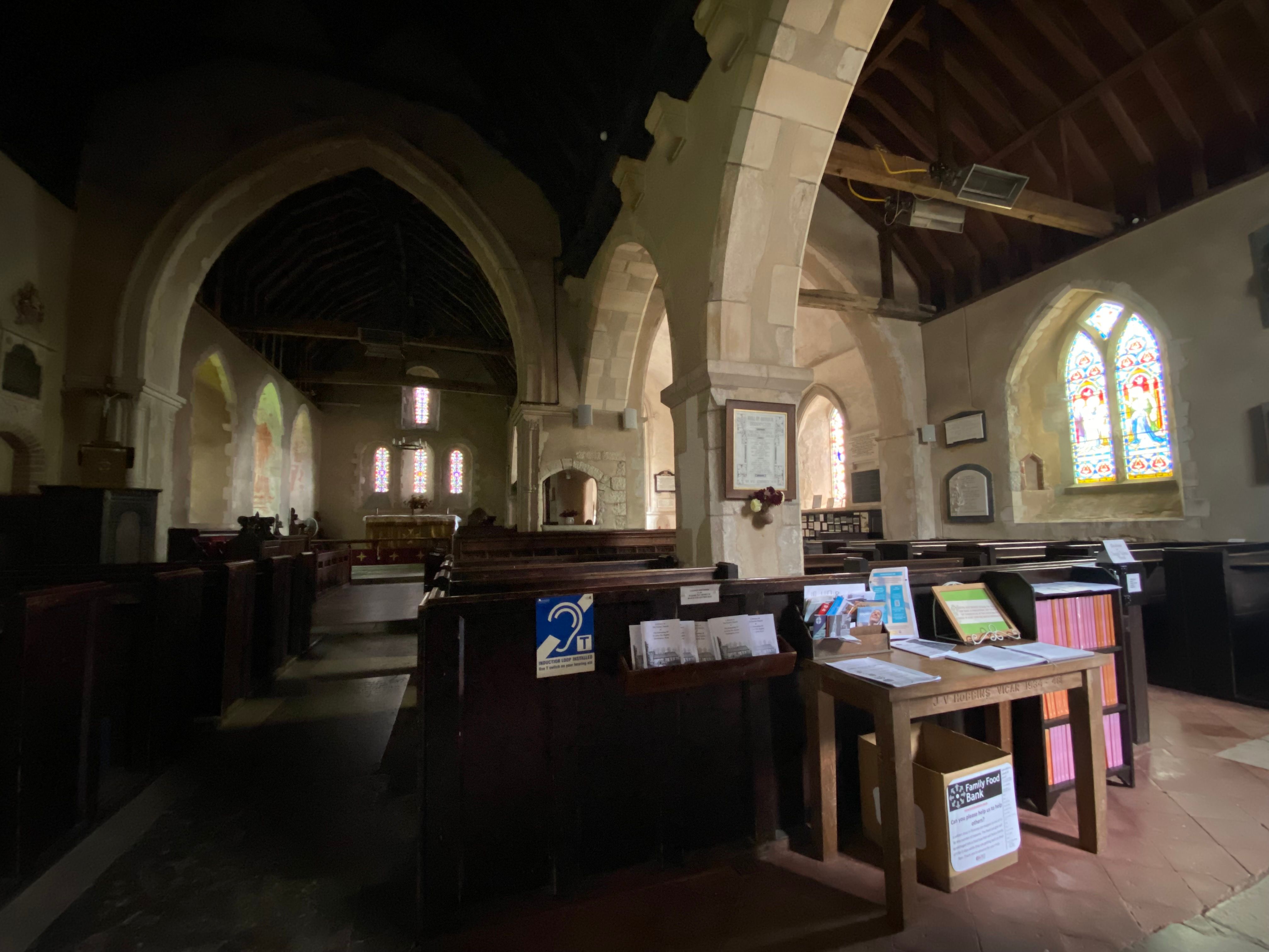
| Memorials | : | 119 |
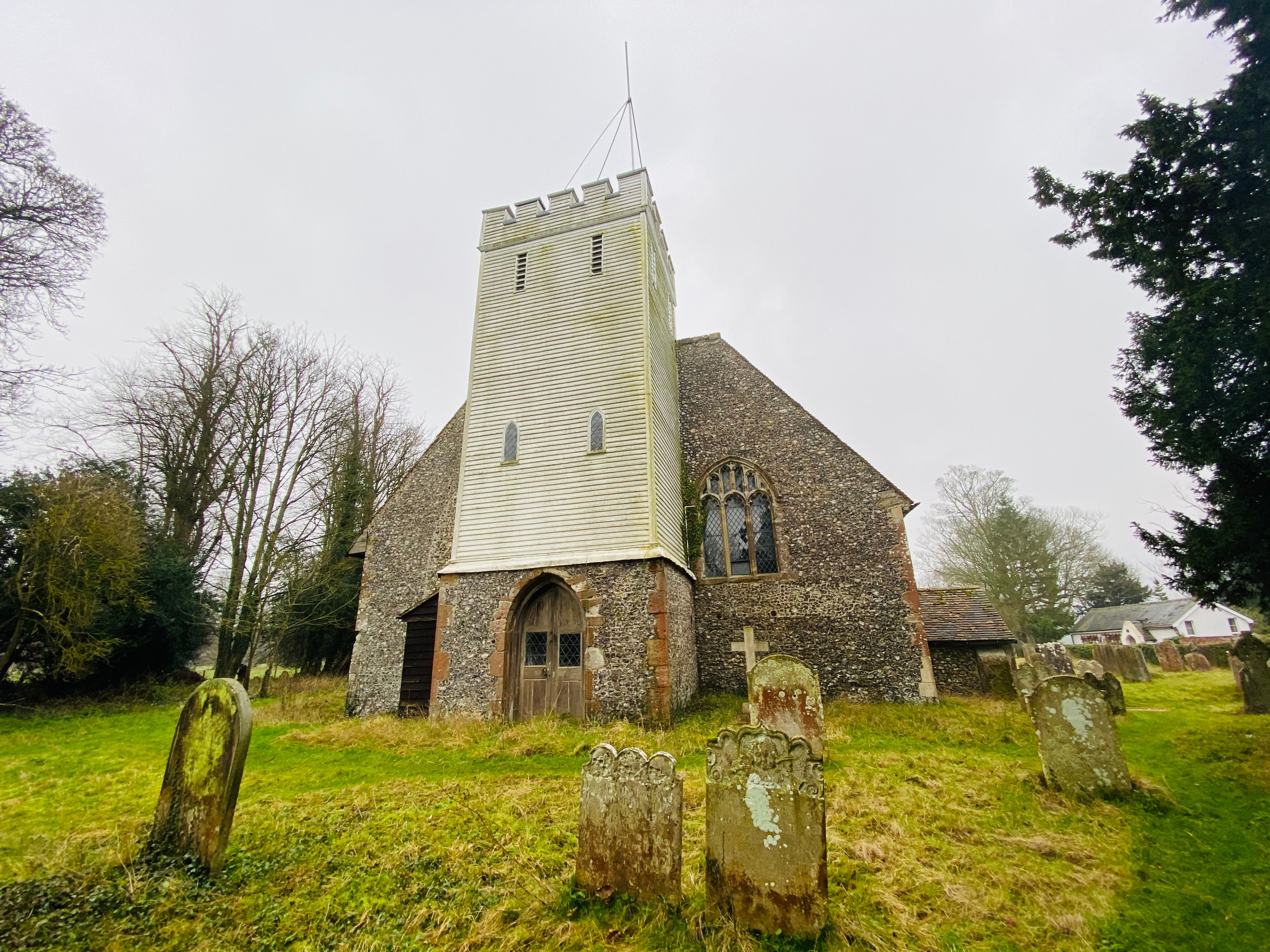
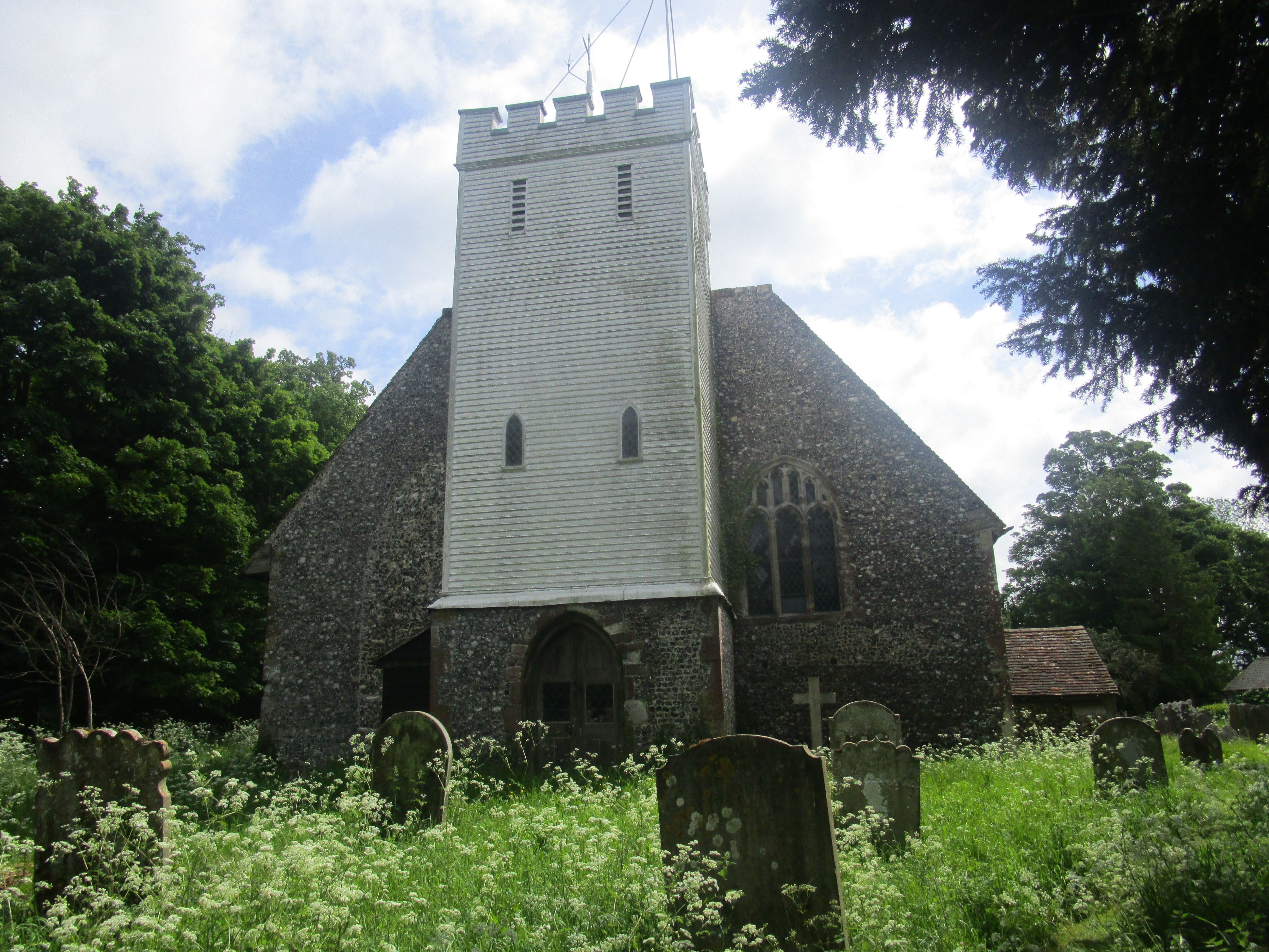
| Location | : | Doddington, Swale Borough, England |
| Coordinate | : | 51.2843350, 0.7805830 |
frequently asked questions (FAQ):
-
Where is The Beheading of St. John the Baptist Churchyard?
The Beheading of St. John the Baptist Churchyard is located at Church Lane Doddington, Swale Borough ,Kent , ME9 0BDEngland.
-
The Beheading of St. John the Baptist Churchyard cemetery's updated grave count on graveviews.com?
116 memorials
-
Where are the coordinates of the The Beheading of St. John the Baptist Churchyard?
Latitude: 51.2843350
Longitude: 0.7805830


Nearby Cemetories:
1. St Peter and St Paul Churchyard
Newnham, Swale Borough, England
Coordinate: 51.2842590, 0.8006070
2. Sts Peter & Paul Churchyard Extension
Newnham, Swale Borough, England
Coordinate: 51.2840000, 0.8026500
3. St. Mary Churchyard
Eastling, Swale Borough, England
Coordinate: 51.2740700, 0.8155000
4. St. Margaret's Churchyard
Wichling, Maidstone Borough, England
Coordinate: 51.2682226, 0.7455862
5. St Peter and St Paul Churchyard
Lynsted, Swale Borough, England
Coordinate: 51.3138300, 0.7860890
6. St Peter and St Paul New Churchyard
Lynsted, Swale Borough, England
Coordinate: 51.3150770, 0.7864080
7. St. Mary and the Holy Cross Churchyard
Milstead, Swale Borough, England
Coordinate: 51.2961020, 0.7288260
8. St. Nicholas Churchyard
Rodmersham, Swale Borough, England
Coordinate: 51.3227780, 0.7627730
9. St Mary Churchyard
Norton, Swale Borough, England
Coordinate: 51.3149750, 0.8221900
10. St Dunstan Churchyard
Frinsted, Maidstone Borough, England
Coordinate: 51.2843300, 0.7112270
11. St. Laurence's Churchyard
Bapchild, Swale Borough, England
Coordinate: 51.3330520, 0.7655020
12. St. Michael and All Angels Churchyard
Throwley, Swale Borough, England
Coordinate: 51.2651000, 0.8540800
13. St. Giles Churchyard
Wormshill, Maidstone Borough, England
Coordinate: 51.2850660, 0.6971740
14. St. Mary's Churchyard
Stalisfield, Swale Borough, England
Coordinate: 51.2371410, 0.8169790
15. St John the Baptist Churchyard
Tunstall, Swale Borough, England
Coordinate: 51.3246010, 0.7196400
16. Sittingbourne Cemetery
Sittingbourne, Swale Borough, England
Coordinate: 51.3345300, 0.7348000
17. Lenham Cemetery
Lenham, Maidstone Borough, England
Coordinate: 51.2389480, 0.7223940
18. St Giles Churchyard
Tonge, Swale Borough, England
Coordinate: 51.3424640, 0.7757790
19. Deerton Natural Burial Ground
Teynham, Swale Borough, England
Coordinate: 51.3344460, 0.8297850
20. St. John the Baptist Churchyard
Bredgar, Swale Borough, England
Coordinate: 51.3109210, 0.6960930
21. St Mary Churchyard
Teynham, Swale Borough, England
Coordinate: 51.3377640, 0.8213570
22. St Peter and St Paul Churchyard
Ospringe, Swale Borough, England
Coordinate: 51.3070220, 0.8690570
23. Murston Cemetery
Sittingbourne, Swale Borough, England
Coordinate: 51.3424700, 0.7527100
24. St Mary Churchyard
Lenham, Maidstone Borough, England
Coordinate: 51.2366860, 0.7191470