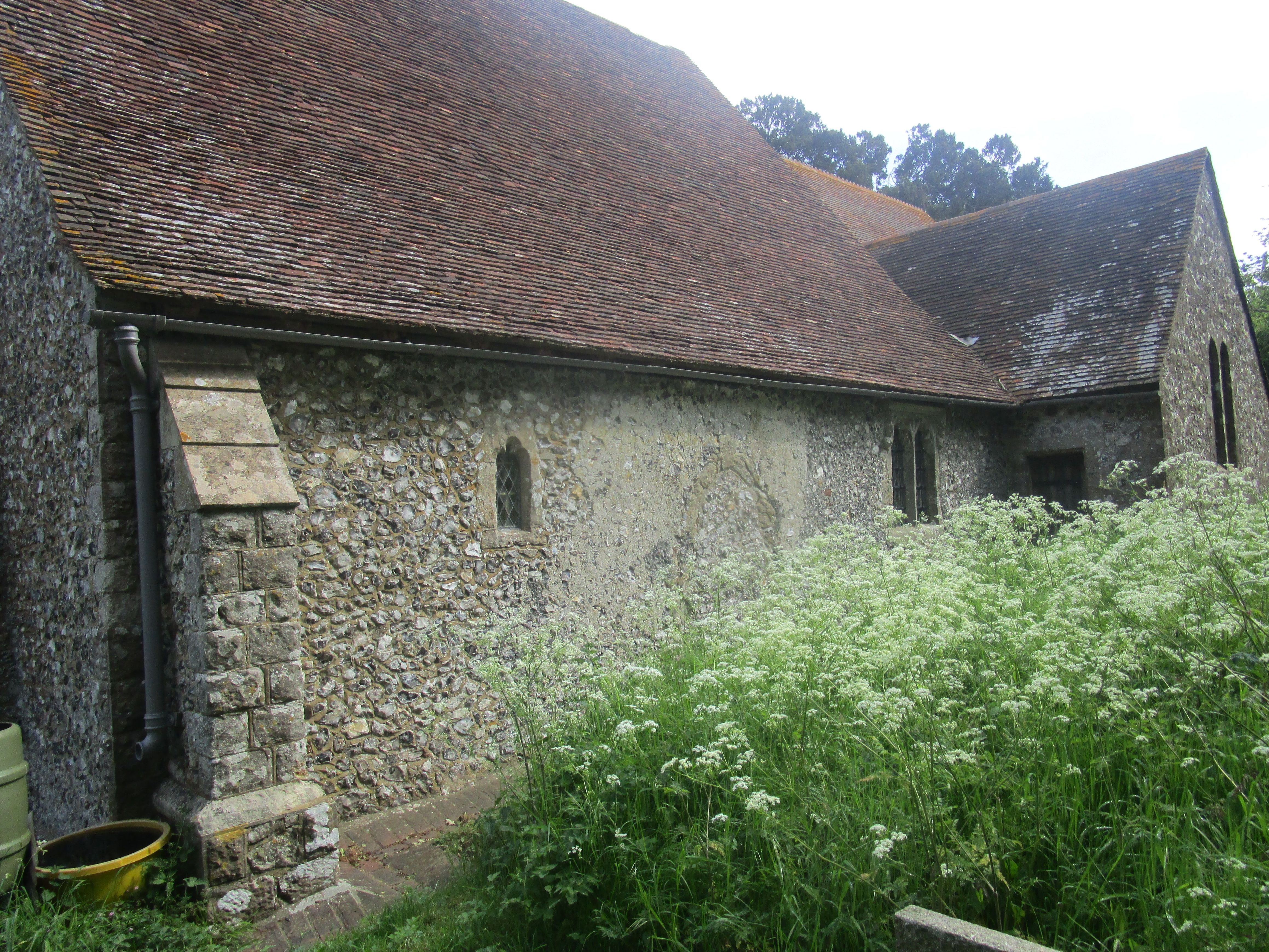
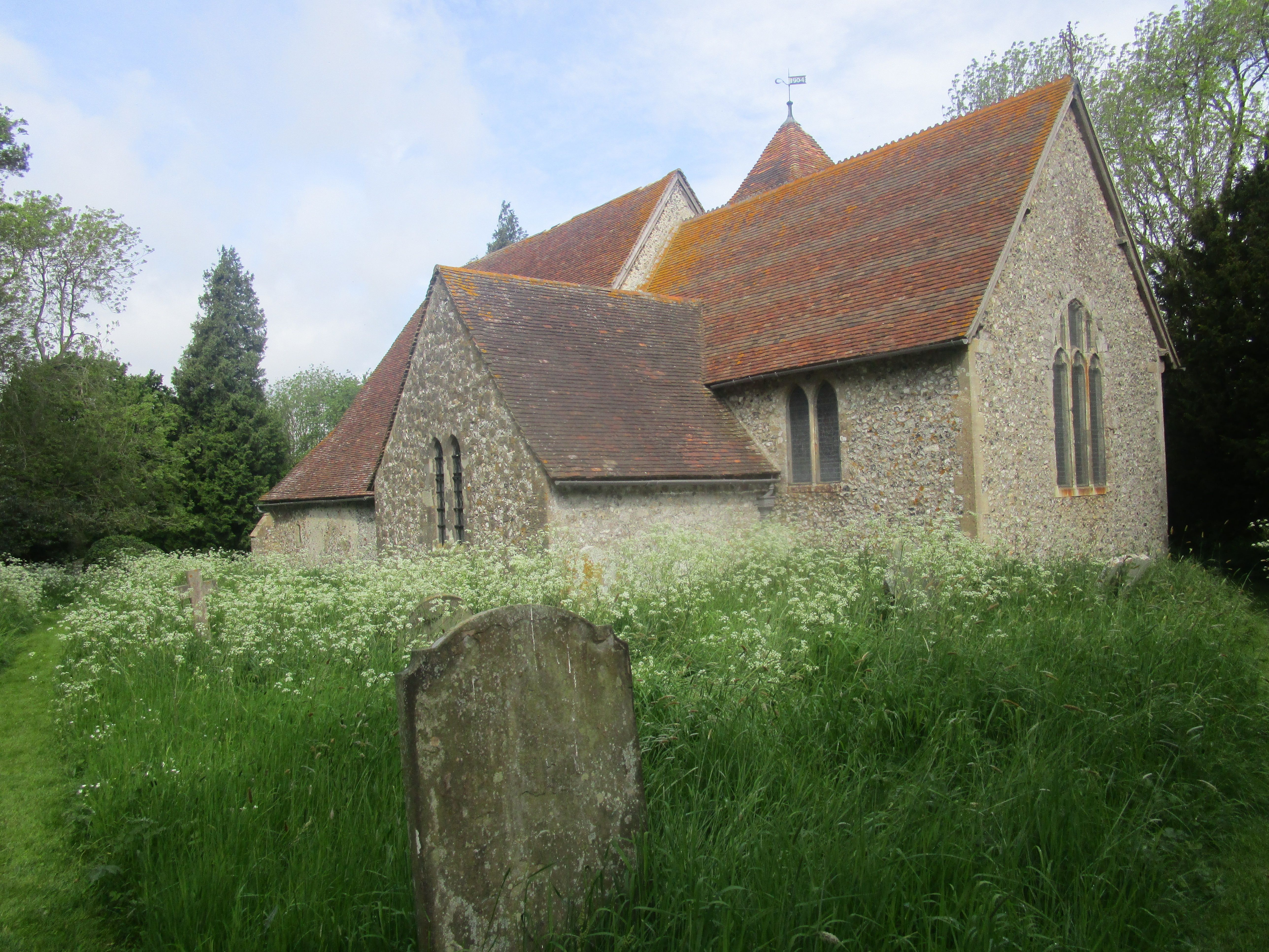
| Memorials | : | 2 |
| Location | : | Stalisfield, Swale Borough, England |
| Coordinate | : | 51.2371410, 0.8169790 |
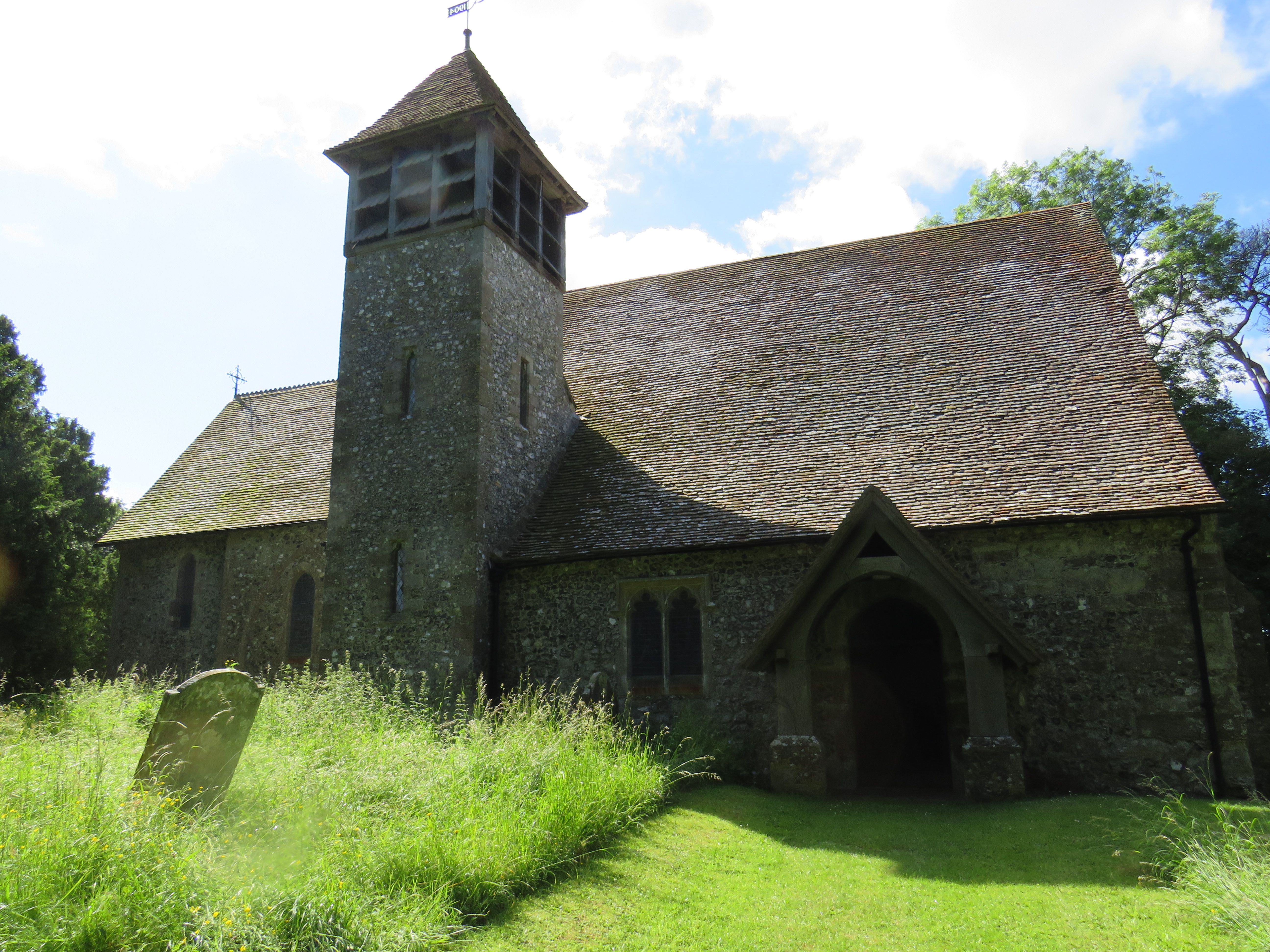
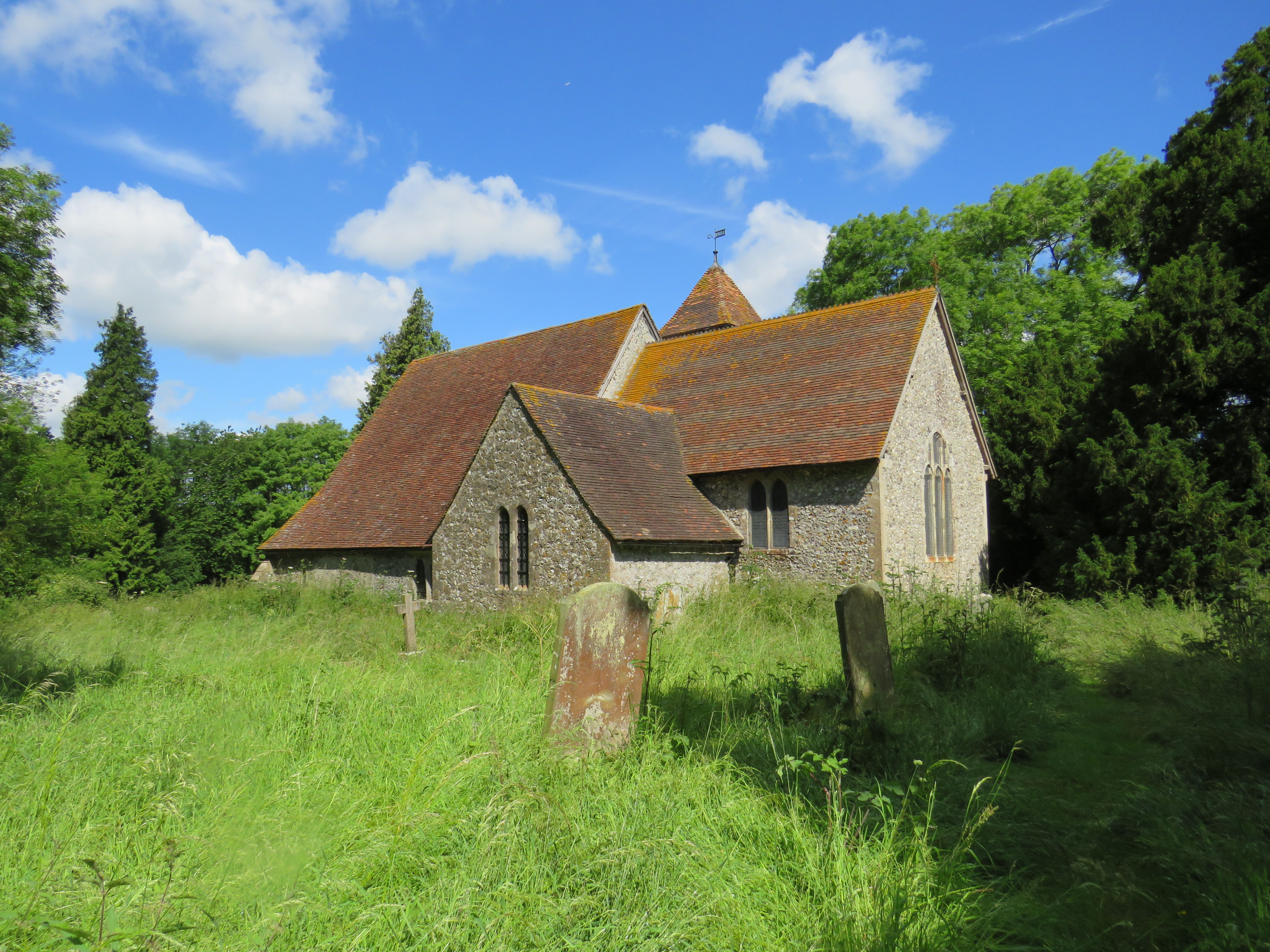
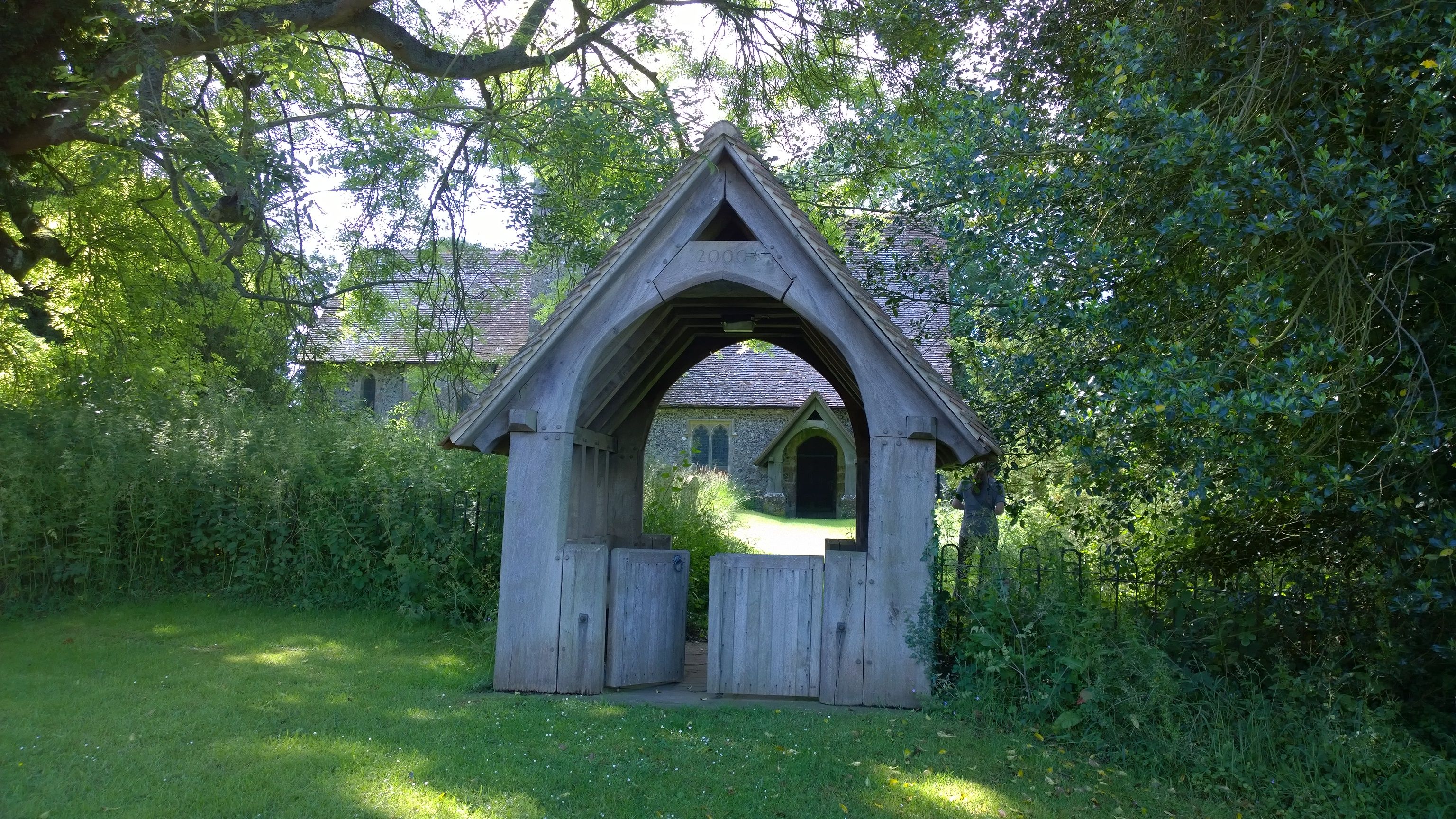
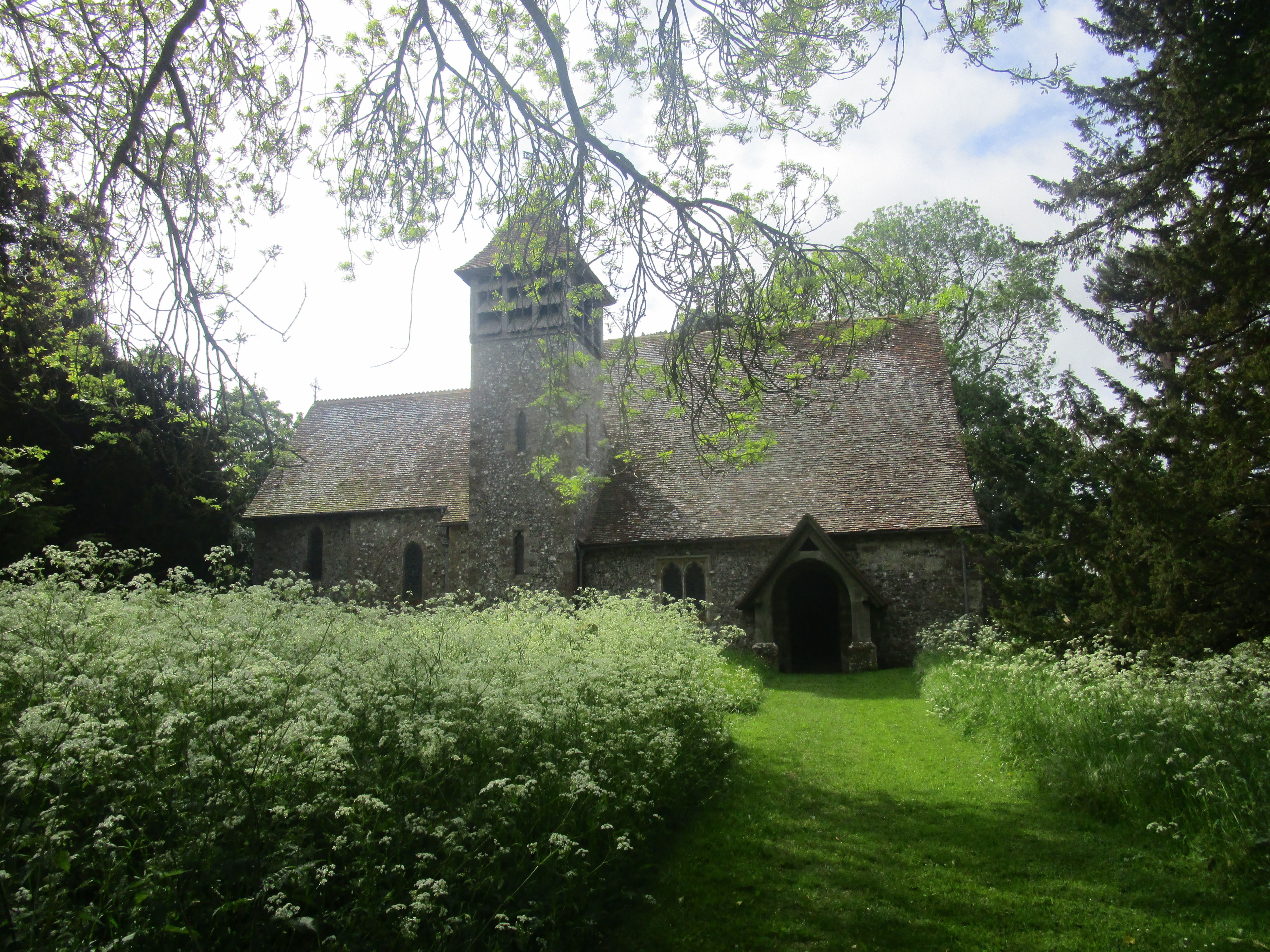
| Description | : | Stalisfield is a village and civil parish, often referred to as Stalisfield Green, in the Faversham district, Kent; 6½ miles SSW of Faversham. It adjoins the parish of Easling south-eastward. In ancient times, it was known as Starchfield and before then, at the time of Domesday, was called Stanefelle, which is the same as Stonefield, a name well adapted to the flinty soil of it. The church of Stalisfield belonged to the priory of St. Gregory, in Canterbury, perhaps part of its original endowment by Archbishop Lanfranc, in the reign of William the Conqueror, and it was confirmed to it, among... Read More |
frequently asked questions (FAQ):
-
Where is St. Mary's Churchyard?
St. Mary's Churchyard is located at Church Road Stalisfield, Swale Borough ,Kent , ME13 0JFEngland.
-
St. Mary's Churchyard cemetery's updated grave count on graveviews.com?
2 memorials
-
Where are the coordinates of the St. Mary's Churchyard?
Latitude: 51.2371410
Longitude: 0.8169790
Nearby Cemetories:
1. Charing Cemetery
Charing, Ashford Borough, England
Coordinate: 51.2120247, 0.7922290
2. St. Peter and St. Paul Churchyard
Charing, Ashford Borough, England
Coordinate: 51.2102230, 0.7966500
3. Kent County Crematorium
Charing, Ashford Borough, England
Coordinate: 51.2026560, 0.8006770
4. St. Michael and All Angels Churchyard
Throwley, Swale Borough, England
Coordinate: 51.2651000, 0.8540800
5. St. Mary Churchyard
Eastling, Swale Borough, England
Coordinate: 51.2740700, 0.8155000
6. St. Laurence Churchyard
Leaveland, Swale Borough, England
Coordinate: 51.2501510, 0.8773610
7. Sts Peter & Paul Churchyard Extension
Newnham, Swale Borough, England
Coordinate: 51.2840000, 0.8026500
8. St. Leonard Churchyard
Badlesmere, Swale Borough, England
Coordinate: 51.2590000, 0.8850000
9. St Peter and St Paul Churchyard
Newnham, Swale Borough, England
Coordinate: 51.2842590, 0.8006070
10. Holy Trinity Churchyard
Charing Heath, Ashford Borough, England
Coordinate: 51.2117420, 0.7510860
11. St Cosmas and St Damian Churchyard
Challock, Ashford Borough, England
Coordinate: 51.2065340, 0.8781660
12. St Mary Churchyard
Westwell, Ashford Borough, England
Coordinate: 51.1919020, 0.8473350
13. Westwell Burial Ground
Westwell, Ashford Borough, England
Coordinate: 51.1900100, 0.8434000
14. St Peter Churchyard
Molash, Ashford Borough, England
Coordinate: 51.2328420, 0.8974670
15. The Beheading of St. John the Baptist Churchyard
Doddington, Swale Borough, England
Coordinate: 51.2843350, 0.7805830
16. St. Margaret's Churchyard
Wichling, Maidstone Borough, England
Coordinate: 51.2682226, 0.7455862
17. St James Churchyard
Sheldwich, Swale Borough, England
Coordinate: 51.2753830, 0.8821940
18. Lenham Cemetery
Lenham, Maidstone Borough, England
Coordinate: 51.2389480, 0.7223940
19. St Mary Churchyard
Lenham, Maidstone Borough, England
Coordinate: 51.2366860, 0.7191470
20. St. James Churchyard
Egerton, Ashford Borough, England
Coordinate: 51.1953860, 0.7295170
21. All Saints Churchyard
Boughton Aluph, Ashford Borough, England
Coordinate: 51.1963280, 0.9086490
22. Church of St. Margaret
Hothfield, Ashford Borough, England
Coordinate: 51.1661000, 0.8158000
23. St. Nicholas' Churchyard
Pluckley, Ashford Borough, England
Coordinate: 51.1749440, 0.7548470
24. St Mary the Virgin Churchyard
Selling, Swale Borough, England
Coordinate: 51.2739880, 0.9208920

