
| Memorials | : | 1 |
| Location | : | Fort Stewart, Liberty County, USA |
| Coordinate | : | 31.9978008, -81.7138977 |
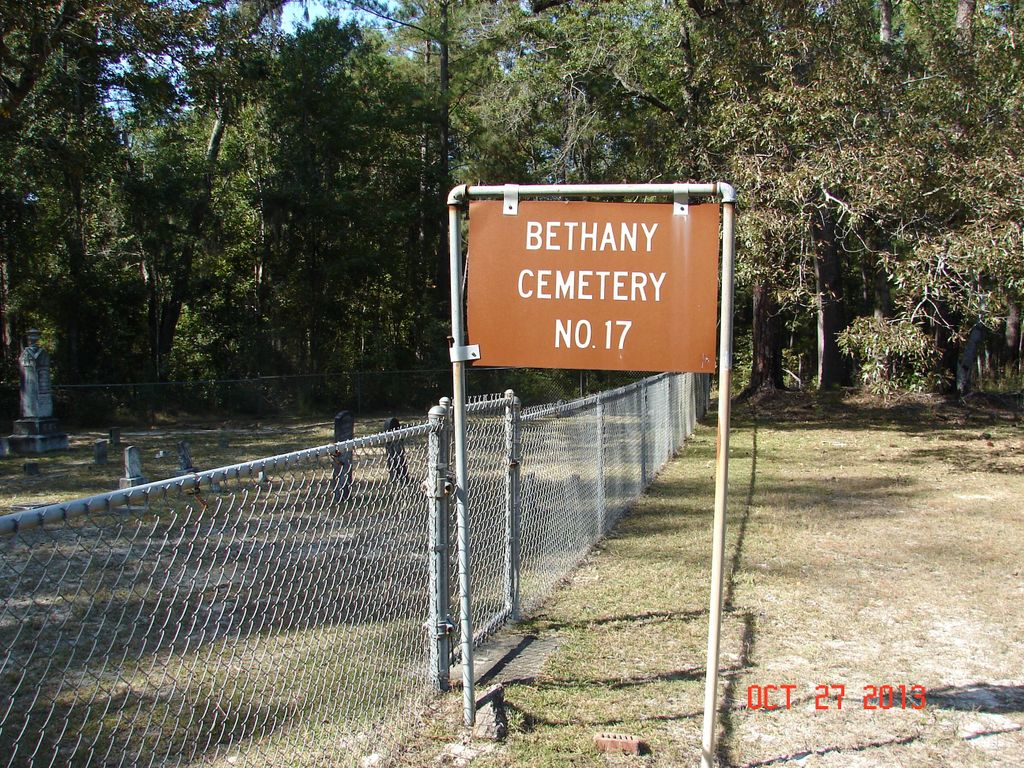
| Description | : | Todd Ray Cemetery is located in Liberty County at Fort Stewart Military Reservation. The cemetery is located in Fort Stewart Training Area E8, at the intersection of Fort Stewart Roads #123 and 29. So far, the Chicora Foundation has located two unmarked burials outside of the current fence. |
frequently asked questions (FAQ):
-
Where is Todd-Ray Cemetery?
Todd-Ray Cemetery is located at Fort Stewart, Liberty County ,Georgia ,USA.
-
Todd-Ray Cemetery cemetery's updated grave count on graveviews.com?
1 memorials
-
Where are the coordinates of the Todd-Ray Cemetery?
Latitude: 31.9978008
Longitude: -81.7138977

Nearby Cemetories:
1. Porter Cemetery
Liberty County, USA
Coordinate: 32.0191550, -81.6802200
2. Strum Bay Cemetery
Fort Stewart, Liberty County, USA
Coordinate: 32.0078011, -81.6564026
3. Bethel Church Cemetery
Fort Stewart, Liberty County, USA
Coordinate: 31.9799995, -81.7727966
4. Elarbee Cemetery
Liberty County, USA
Coordinate: 32.0447006, -81.6706009
5. Warnell Cemetery
Fort Stewart, Liberty County, USA
Coordinate: 32.0450380, -81.6709420
6. Salem Cemetery
Fort Stewart, Liberty County, USA
Coordinate: 32.0772018, -81.7305984
7. Taylors Creek Cemetery
Fort Stewart, Liberty County, USA
Coordinate: 31.9356003, -81.6481018
8. Thomas Hill Cemetery
Fort Stewart, Liberty County, USA
Coordinate: 31.9950008, -81.6117020
9. Z. R. Moody Cemetery
Fort Stewart, Evans County, USA
Coordinate: 32.0886002, -81.7446976
10. Jerusalem Church Cemetery
Fort Stewart, Liberty County, USA
Coordinate: 32.0942001, -81.7343979
11. David Geiger Family Cemetery
Bryan County, USA
Coordinate: 32.1182492, -81.6889085
12. Gaps of the Bays Cemetery
Long County, USA
Coordinate: 31.9333000, -81.8368988
13. Poplar Head Cemetery
Fort Stewart, Long County, USA
Coordinate: 31.9081000, -81.8139000
14. Smith Chapel Cemetery
Fort Stewart, Long County, USA
Coordinate: 31.9356003, -81.8460999
15. Congregational Cemetery
Fort Stewart, Long County, USA
Coordinate: 31.9367008, -81.8469009
16. Liberty Baptist Church Cemetery
Hinesville, Liberty County, USA
Coordinate: 31.8598540, -81.7238940
17. Little Creek Cemetery
Fort Stewart, Bryan County, USA
Coordinate: 32.0483017, -81.5550003
18. Groveland Cemetery
Bryan County, USA
Coordinate: 32.1418991, -81.7427979
19. New Poplar Head Church Cemetery
Donald, Long County, USA
Coordinate: 31.8668700, -81.7909500
20. Old Salem Cemetery
Groveland, Bryan County, USA
Coordinate: 32.1422501, -81.7429733
21. Zion Travel Cemetery
Fort Stewart, Long County, USA
Coordinate: 31.9216995, -81.8625031
22. Antioch Missionary Baptist Church Cemetery
Claxton, Evans County, USA
Coordinate: 32.1055984, -81.8367004
23. Jerusalem M. Baptist Church Cemetery
Groveland, Bryan County, USA
Coordinate: 32.1476960, -81.7440016
24. Sands Field Methodist Church Cemetery
Daisy, Evans County, USA
Coordinate: 32.1268997, -81.8155975