
| Memorials | : | 0 |
| Location | : | Fort Stewart, Long County, USA |
| Coordinate | : | 31.9356003, -81.8460999 |
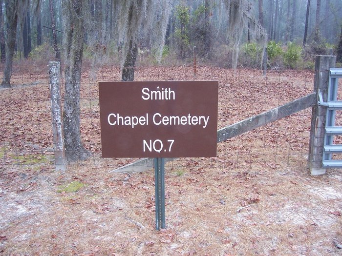
| Description | : | Smith Chapel Cemetery is located in Long County at Fort Stewart Military Reservation. The cemetery is located in Fort Stewart Training Area E13, north of GA Highway 144. |
frequently asked questions (FAQ):
-
Where is Smith Chapel Cemetery?
Smith Chapel Cemetery is located at Fort Stewart, Long County ,Georgia ,USA.
-
Smith Chapel Cemetery cemetery's updated grave count on graveviews.com?
0 memorials
-
Where are the coordinates of the Smith Chapel Cemetery?
Latitude: 31.9356003
Longitude: -81.8460999


Nearby Cemetories:
1. Congregational Cemetery
Fort Stewart, Long County, USA
Coordinate: 31.9367008, -81.8469009
2. Gaps of the Bays Cemetery
Long County, USA
Coordinate: 31.9333000, -81.8368988
3. Zion Travel Cemetery
Fort Stewart, Long County, USA
Coordinate: 31.9216995, -81.8625031
4. Sand Hill Cemetery
Long County, USA
Coordinate: 31.9139290, -81.8684620
5. Poplar Head Cemetery
Fort Stewart, Long County, USA
Coordinate: 31.9081000, -81.8139000
6. Little Rock Baptist Church Cemetery
Ludowici, Long County, USA
Coordinate: 31.8782540, -81.8705940
7. Bethel Church Cemetery
Fort Stewart, Liberty County, USA
Coordinate: 31.9799995, -81.7727966
8. New Poplar Head Church Cemetery
Donald, Long County, USA
Coordinate: 31.8668700, -81.7909500
9. Macedonia Cemetery
Long County, USA
Coordinate: 31.8489400, -81.8464520
10. Grace Baptist Church Cemetery
Long County, USA
Coordinate: 31.8359610, -81.9082680
11. Pigot Branch Missionary Baptist Church Cemetery
Long County, USA
Coordinate: 31.8318280, -81.9052600
12. Smith Family Cemetery
Ludowici, Long County, USA
Coordinate: 31.8227820, -81.7755750
13. Todd-Ray Cemetery
Fort Stewart, Liberty County, USA
Coordinate: 31.9978008, -81.7138977
14. Liberty Baptist Church Cemetery
Hinesville, Liberty County, USA
Coordinate: 31.8598540, -81.7238940
15. Saint Thomas Missionary Baptist Church Cemetery
Long County, USA
Coordinate: 31.8058930, -81.8631150
16. Rye Patch Church Cemetery
Ludowici, Long County, USA
Coordinate: 31.8137000, -81.7764400
17. Porter Cemetery
Liberty County, USA
Coordinate: 32.0191550, -81.6802200
18. Green Cypress Missionary Baptist Church Cemetery
Evans County, USA
Coordinate: 32.0995420, -81.8756250
19. Barnard Cemetery
Evans County, USA
Coordinate: 32.1025009, -81.8668976
20. Taylors Creek Cemetery
Fort Stewart, Liberty County, USA
Coordinate: 31.9356003, -81.6481018
21. Union United Methodist Church Cemetery
Claxton, Evans County, USA
Coordinate: 32.0971985, -81.9067001
22. Wells Cemetery
Gum Branch, Liberty County, USA
Coordinate: 31.8431000, -81.6786000
23. Antioch Missionary Baptist Church Cemetery
Claxton, Evans County, USA
Coordinate: 32.1055984, -81.8367004
24. Salem Cemetery
Fort Stewart, Liberty County, USA
Coordinate: 32.0772018, -81.7305984