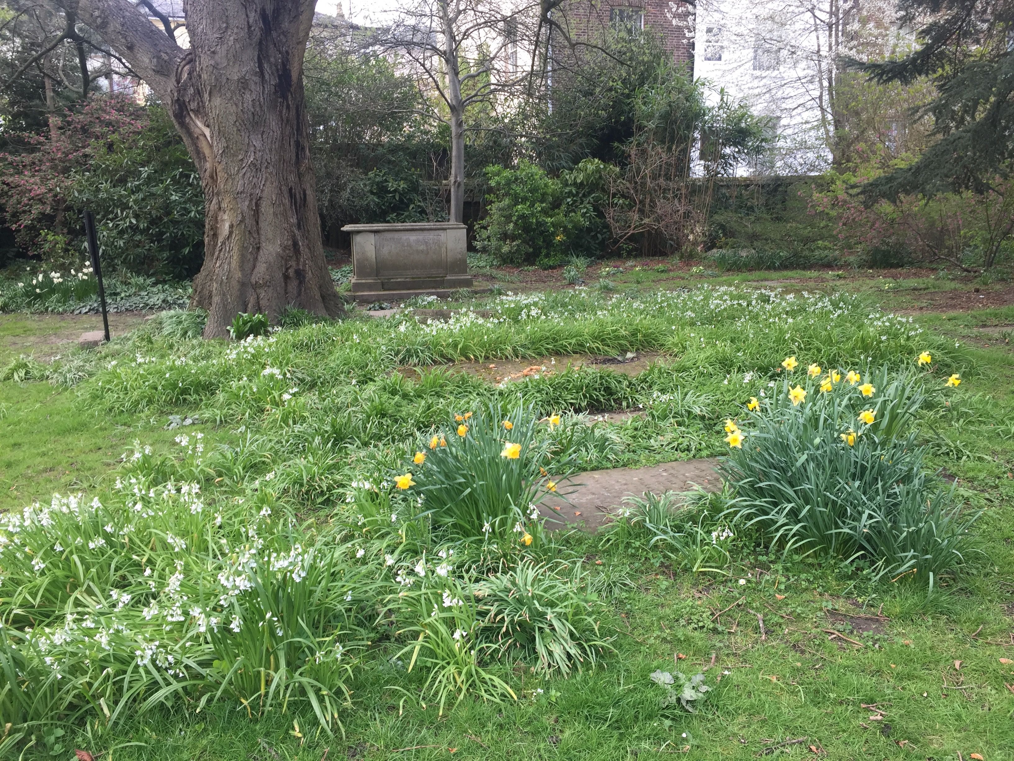
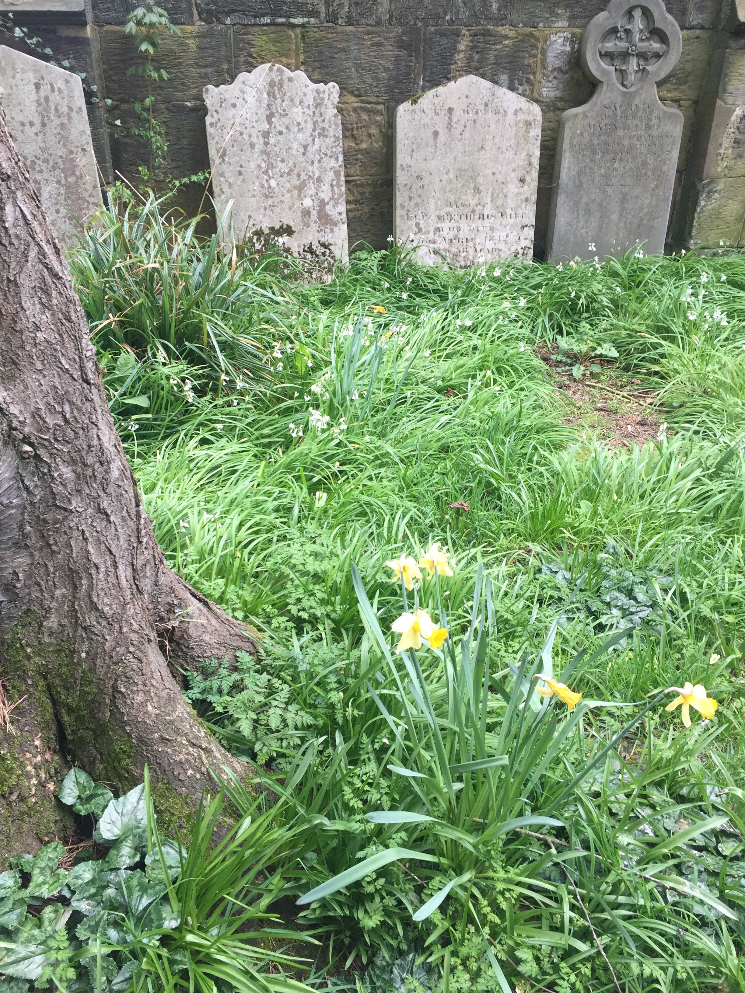
| Memorials | : | 76 |
| Location | : | Royal Tunbridge Wells, Tunbridge Wells Borough, England |
| Website | : | trinitycemeterytunbridgewells.org.uk |
| Coordinate | : | 51.1328200, 0.2623600 |
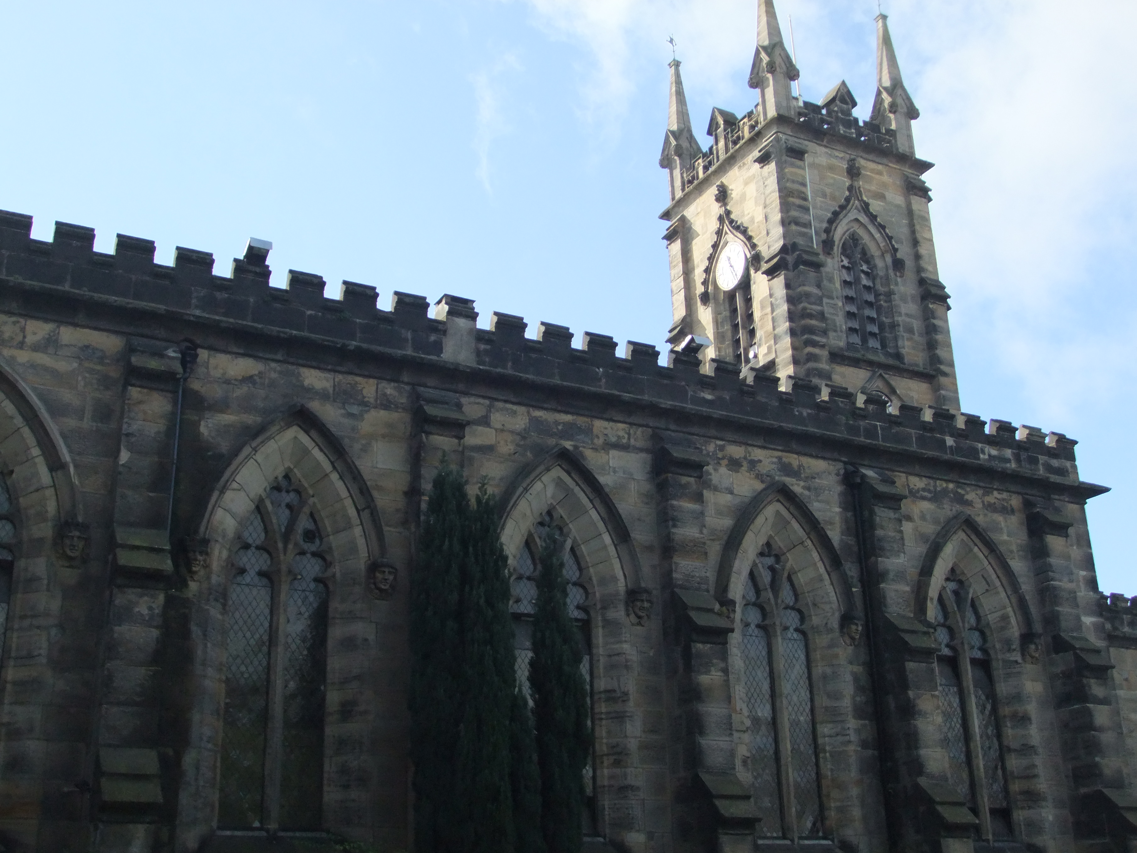
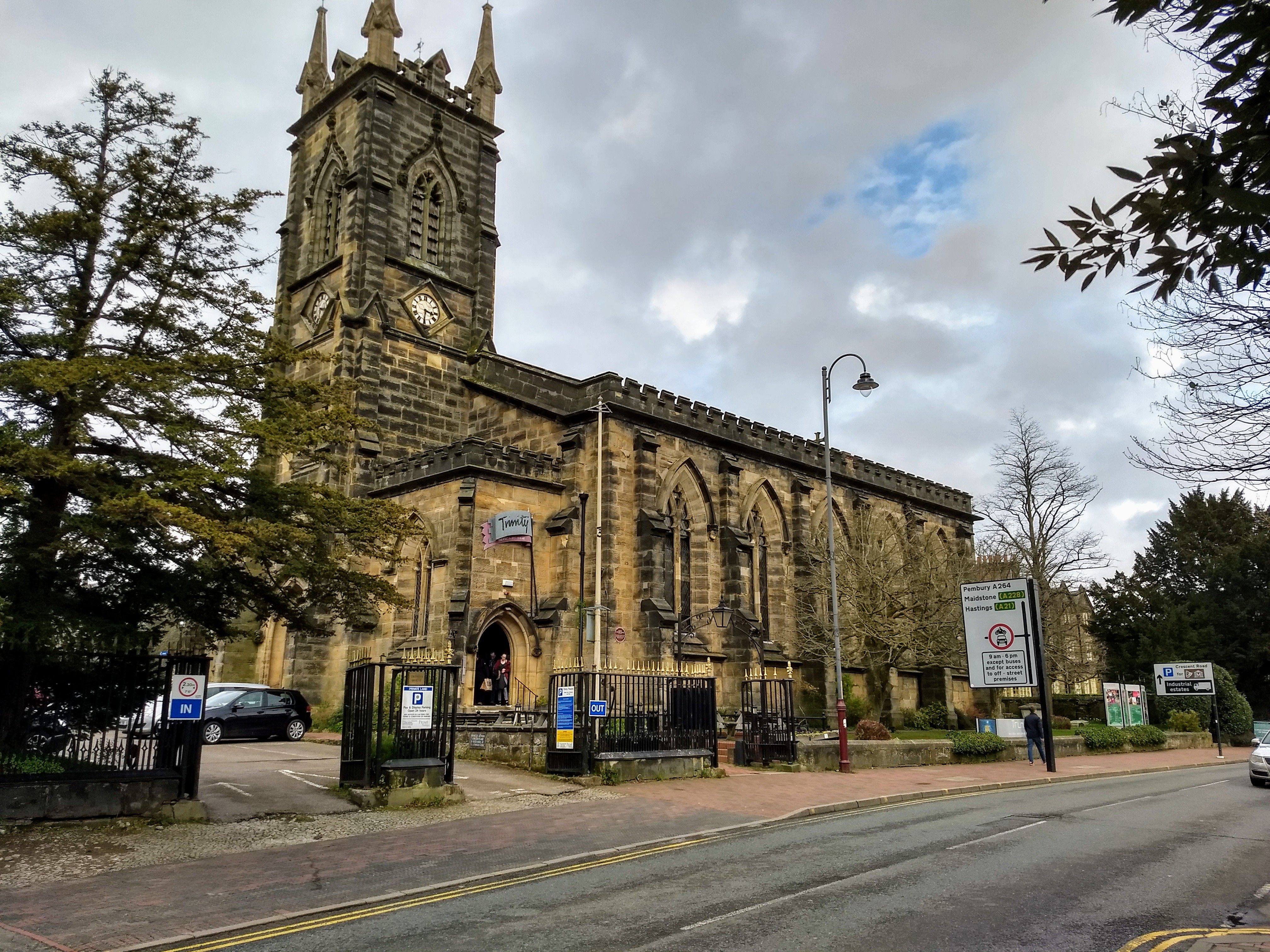
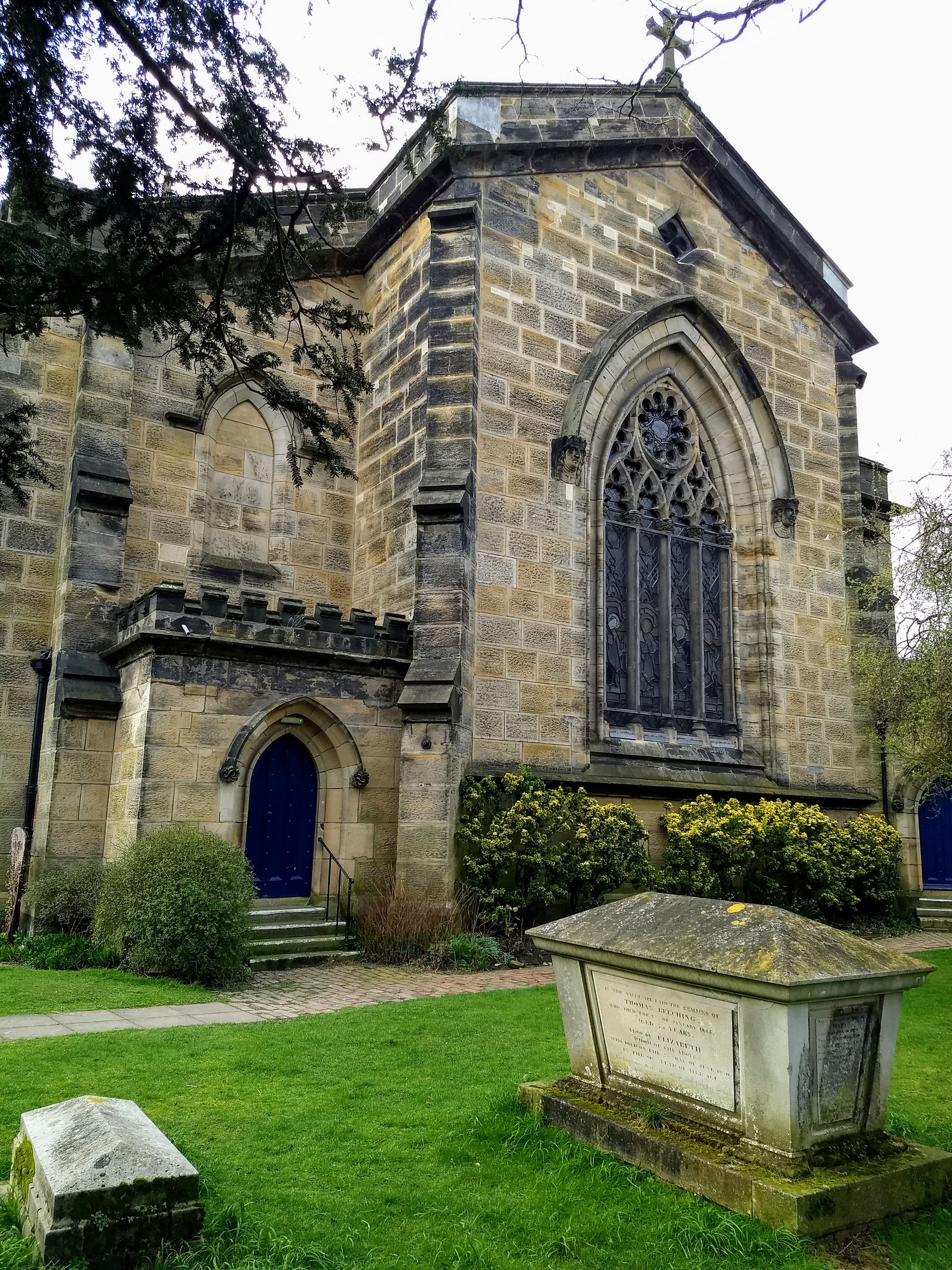
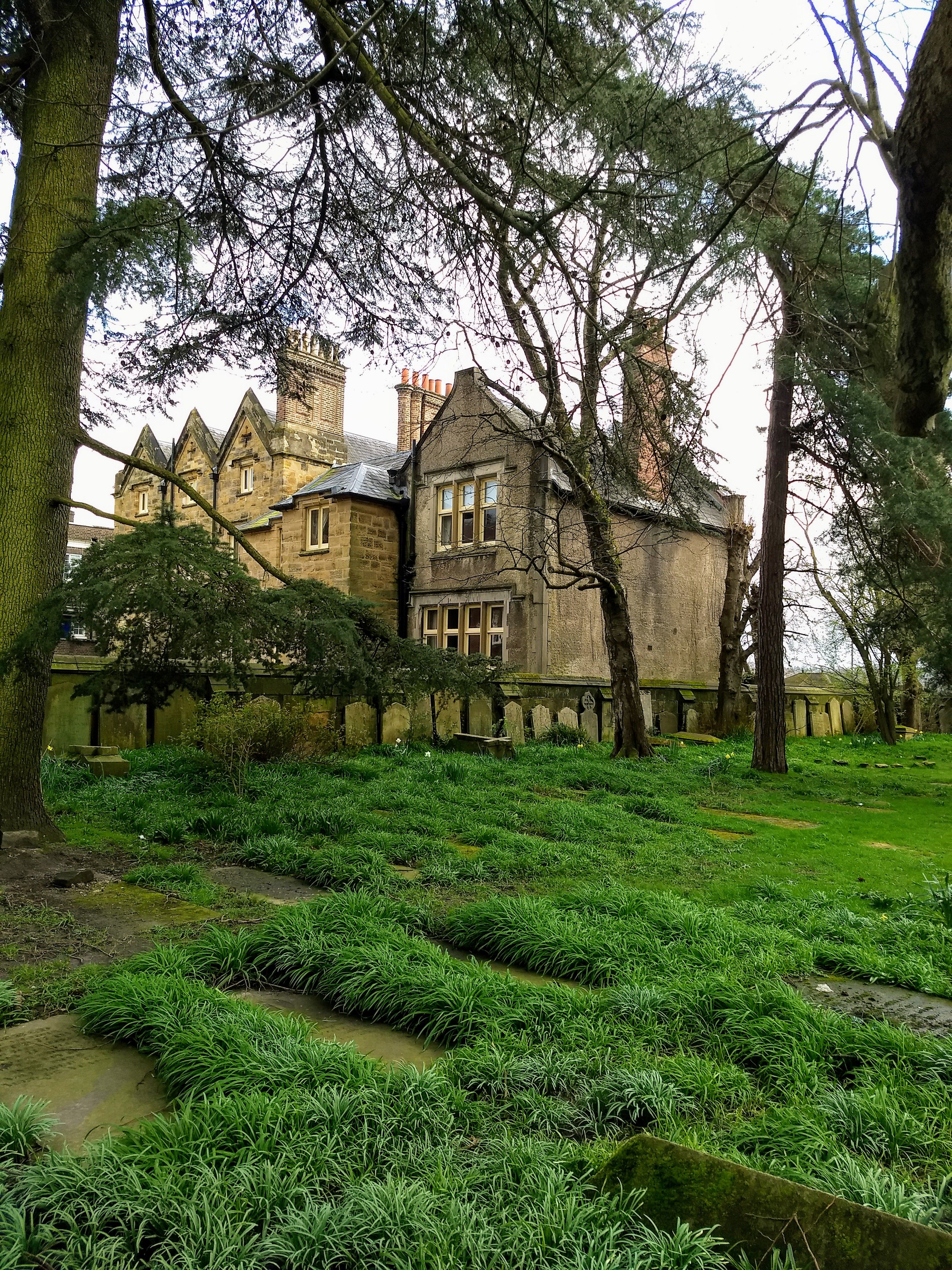
| Description | : | Churches built in Tunbridge Wells King Charles the Martyr chapel started in 1676 eventually became a parish in 1889 1812 Methodist Chapel (Vale Road) 1833 Holy Trinity parish created (church built 1829) 1834 Strict Baptist – Hanover Road 1838 St Augustine's, Roman Catholic 1841 Christ Church 1847/1866 Congregational Church, Mount Pleasant 1850 St Paul's Rusthall 1858 St John's 1862 St James' by Ewan Christian (Foundation stone laid 1861) 1866 St Mark's 1873 Vale Royal Methodist Church 1873 Congregational Church, Albion Road 1874/5 St Peter's 1877 Church of Christ, Commercial Road 1878 Primitive Methodist, Camden Road 1884 Baptist Tabernacle, Calverley Road 1886 Salvation Army Citadel, Varney Road 1887 St Barnabas 1889 Congregational Church, Hawkenbury 1894 Religious Society of Friends Meeting House, Grosvenor... Read More |
frequently asked questions (FAQ):
-
Where is Trinity Churchyard?
Trinity Churchyard is located at Church Road Royal Tunbridge Wells, Tunbridge Wells Borough ,Kent , TN1 1JPEngland.
-
Trinity Churchyard cemetery's updated grave count on graveviews.com?
0 memorials
-
Where are the coordinates of the Trinity Churchyard?
Latitude: 51.1328200
Longitude: 0.2623600
Nearby Cemetories:
1. Hanover Strict Baptist Chapel
Royal Tunbridge Wells, Tunbridge Wells Borough, England
Coordinate: 51.1356700, 0.2625100
2. Woodbury Park Cemetery
Royal Tunbridge Wells, Tunbridge Wells Borough, England
Coordinate: 51.1389847, 0.2637900
3. St John's Church
Royal Tunbridge Wells, Tunbridge Wells Borough, England
Coordinate: 51.1402330, 0.2608070
4. St. Paul's Churchyard
Rusthall, Tunbridge Wells Borough, England
Coordinate: 51.1307144, 0.2376710
5. Kent and Sussex Cemetery and Crematorium
Royal Tunbridge Wells, Tunbridge Wells Borough, England
Coordinate: 51.1173720, 0.2740330
6. St Paul New Churchyard
Rusthall, Tunbridge Wells Borough, England
Coordinate: 51.1401520, 0.2204420
7. Southborough Cemetery
Southborough, Tunbridge Wells Borough, England
Coordinate: 51.1592860, 0.2420140
8. St. Peter's Churchyard
Southborough, Tunbridge Wells Borough, England
Coordinate: 51.1626549, 0.2520690
9. Southborough War Memorial
Southborough, Tunbridge Wells Borough, England
Coordinate: 51.1639214, 0.2528920
10. St. Mary the Virgin Churchyard
Speldhurst, Tunbridge Wells Borough, England
Coordinate: 51.1510790, 0.2198230
11. St. Alban's Churchyard
Frant, Wealden District, England
Coordinate: 51.0980580, 0.2698300
12. St. Lawrence Churchyard
Bidborough, Tunbridge Wells Borough, England
Coordinate: 51.1666950, 0.2371870
13. All Saints Churchyard
Langton Green, Tunbridge Wells Borough, England
Coordinate: 51.1309738, 0.2022060
14. Pembury Burial Ground
Pembury, Tunbridge Wells Borough, England
Coordinate: 51.1416270, 0.3229290
15. Holy Trinity Churchyard
Eridge Green, Wealden District, England
Coordinate: 51.0989300, 0.2232190
16. St Peter's New Churchyard
Pembury, Tunbridge Wells Borough, England
Coordinate: 51.1506200, 0.3269600
17. All Souls Churchyard
Poundsbridge, Sevenoaks District, England
Coordinate: 51.1540700, 0.1961470
18. Old Churchyard of St Peter
Pembury, Tunbridge Wells Borough, England
Coordinate: 51.1629330, 0.3241620
19. St John the Evangelist Churchyard
Groombridge, Wealden District, England
Coordinate: 51.1179771, 0.1854370
20. St. Peter's Churchyard
Fordcombe, Sevenoaks District, England
Coordinate: 51.1422043, 0.1792730
21. St Stephens
Tonbridge, Tonbridge and Malling Borough, England
Coordinate: 51.1893961, 0.2687135
22. All Saints Churchyard
Tudeley, Tunbridge Wells Borough, England
Coordinate: 51.1848510, 0.3186970
23. St. Luke's Churchyard
Matfield, Tunbridge Wells Borough, England
Coordinate: 51.1426588, 0.3626785
24. St. John the Baptist Churchyard
Penshurst, Sevenoaks District, England
Coordinate: 51.1735240, 0.1834540


