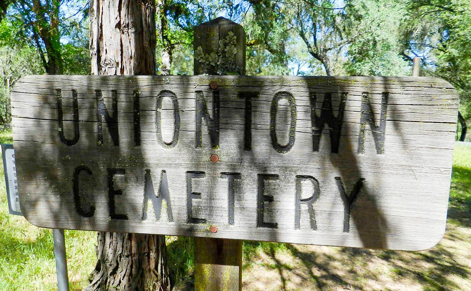
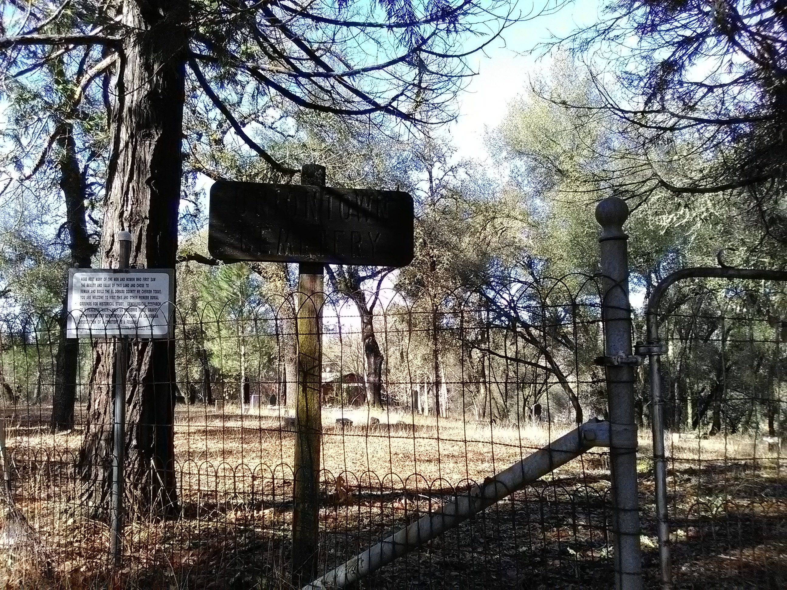
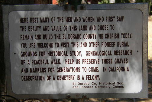
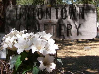
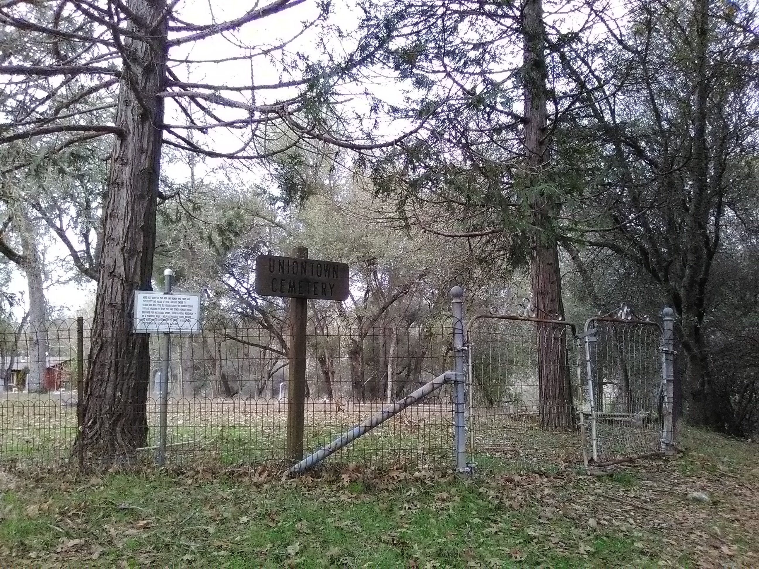
| Memorials | : | 61 |
| Location | : | Lotus, El Dorado County, USA |
| Coordinate | : | 38.7994003, -120.9111023 |
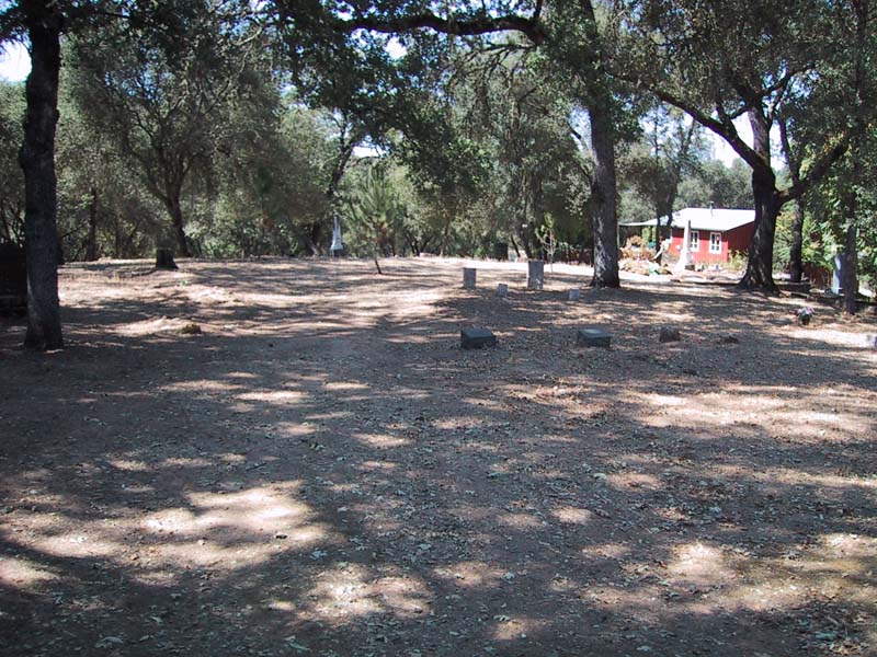
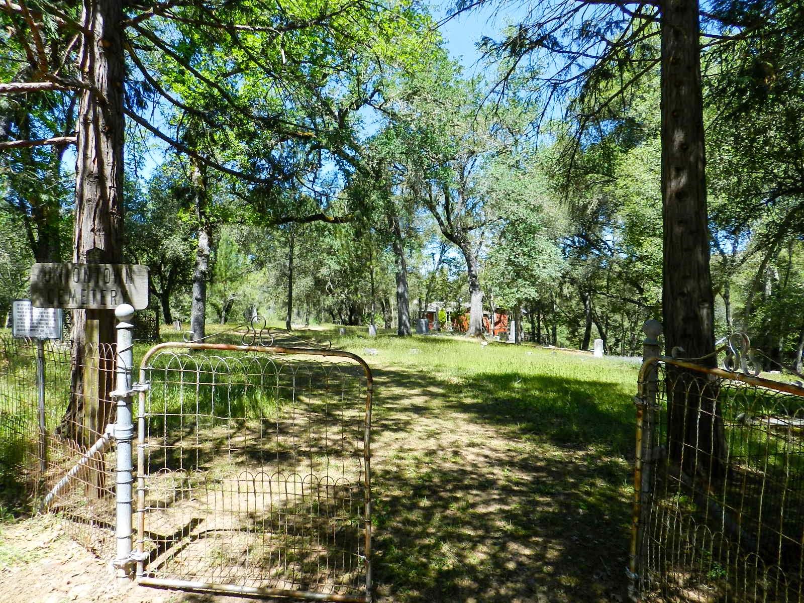
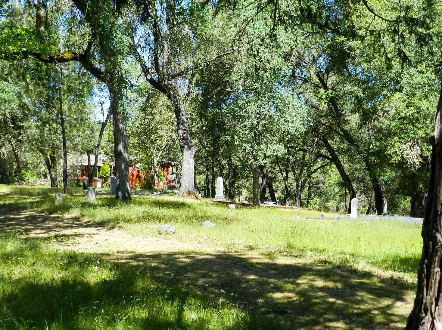
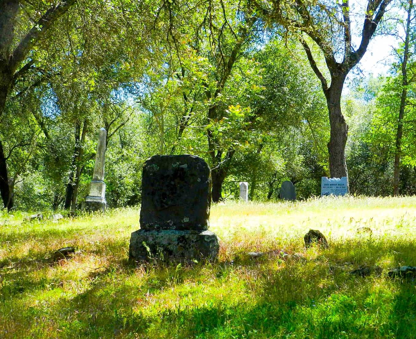
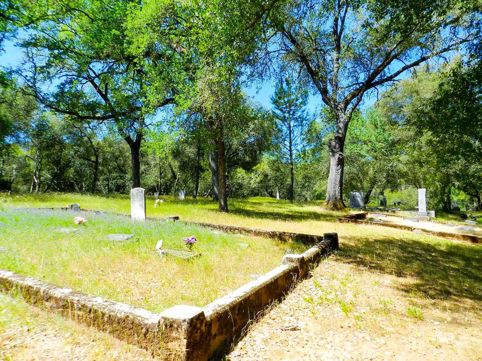
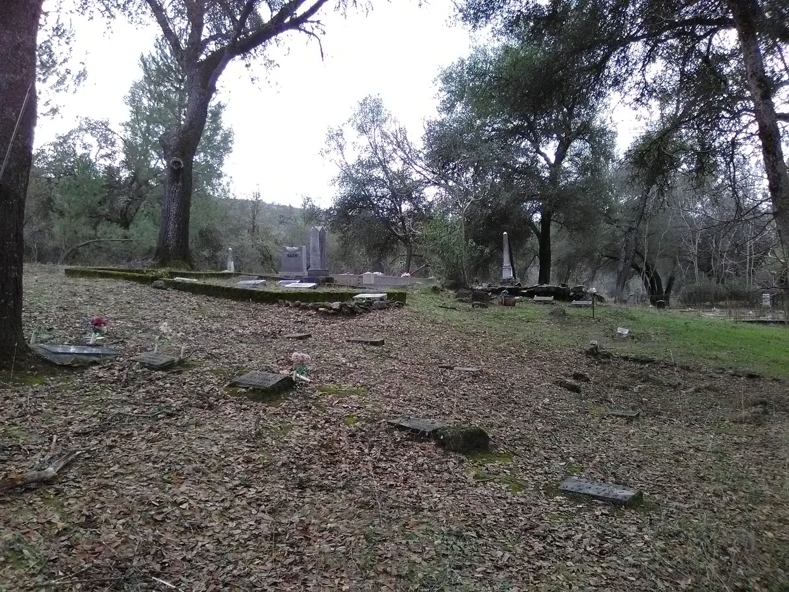
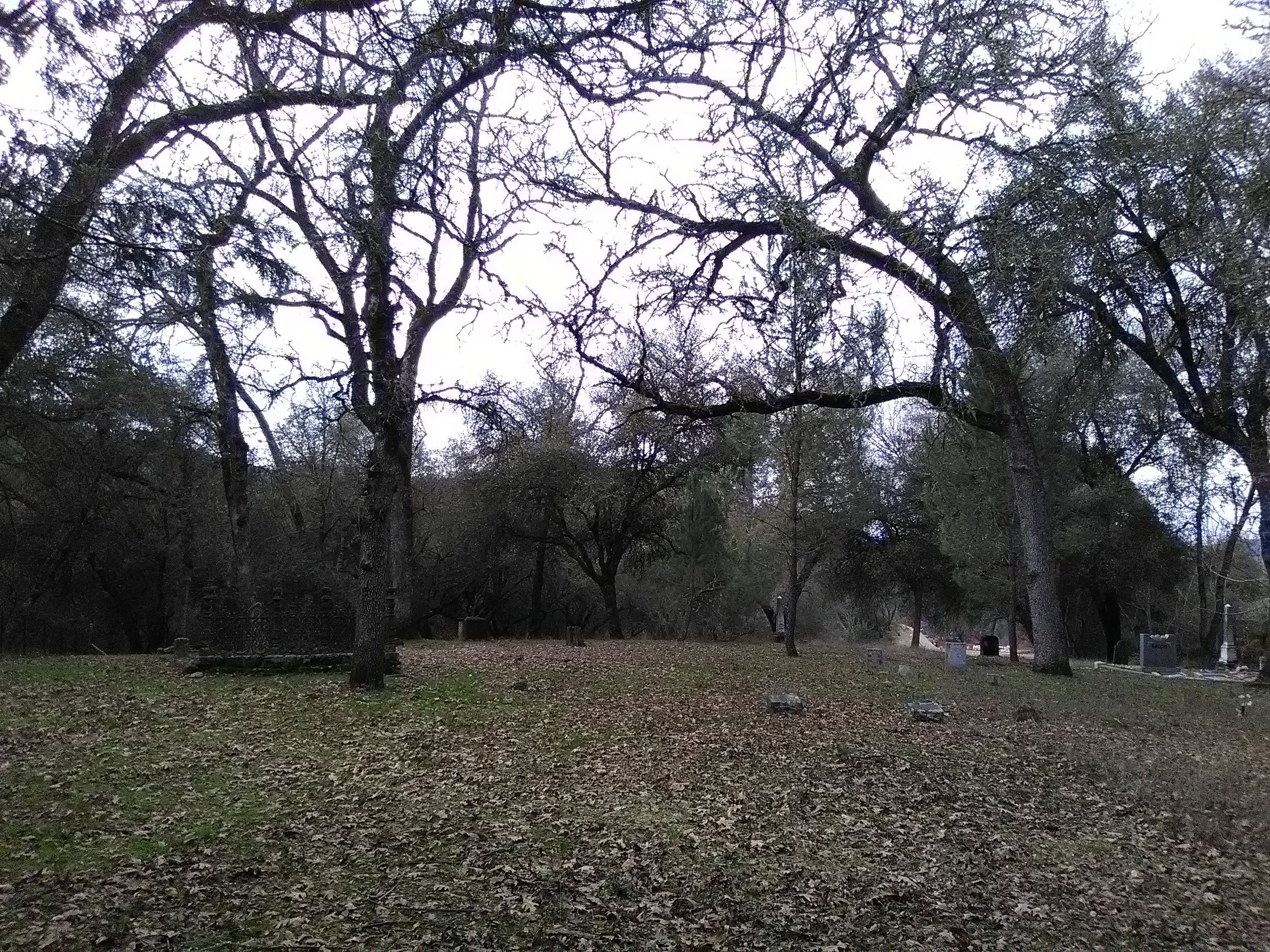
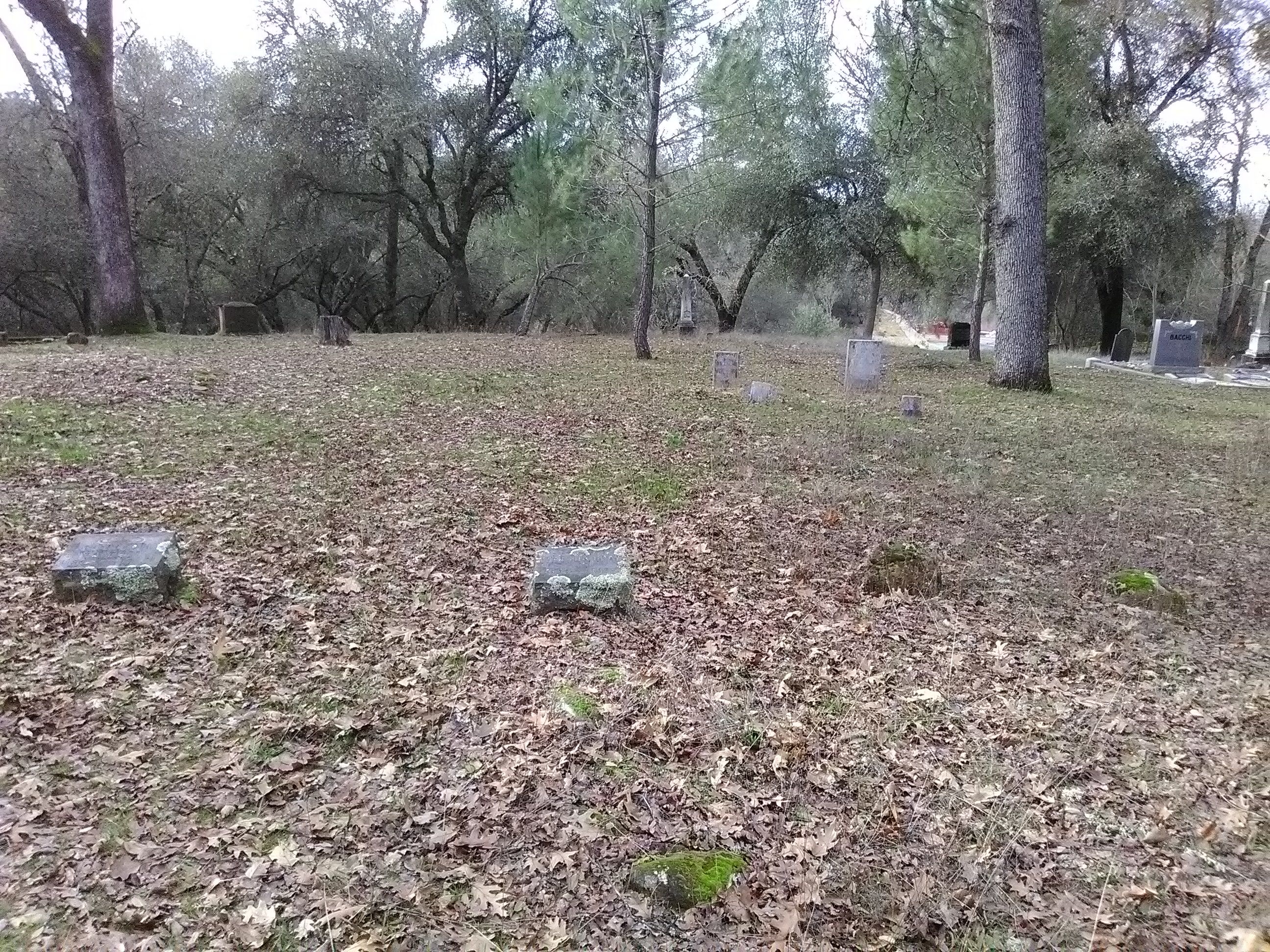
| Description | : | This cemetery was established in the 1850s and served the boom town of Marshall which was an early gold and silver mining town. An estimated two thousand miners were engaged in working the portion of the South Fork of the American River. The town's original name was Marshall and changed to Uniontown in 1855 and then to Lotus in 1861 when the post office was established in the town. Title to the cemetery was vested in the County in 1879. The gold and silver didn't last and the town suffered. Today only a few buildings... Read More |
frequently asked questions (FAQ):
-
Where is Uniontown Cemetery?
Uniontown Cemetery is located at Bassi Road Lotus, El Dorado County ,California ,USA.
-
Uniontown Cemetery cemetery's updated grave count on graveviews.com?
61 memorials
-
Where are the coordinates of the Uniontown Cemetery?
Latitude: 38.7994003
Longitude: -120.9111023
Nearby Cemetories:
1. Indian Creek Cemetery
Coloma, El Dorado County, USA
Coordinate: 38.7974230, -120.9104530
2. James Marshall Monument and Gravesite
Coloma, El Dorado County, USA
Coordinate: 38.7963104, -120.8953781
3. Saint John's Catholic Churchyard
Coloma, El Dorado County, USA
Coordinate: 38.7975311, -120.8919678
4. Pioneer Cemetery
Coloma, El Dorado County, USA
Coordinate: 38.7943192, -120.8894577
5. Wakamastu Tea and Silk Farm Colony Burial Site
Coloma, El Dorado County, USA
Coordinate: 38.7674100, -120.8858100
6. Gold Hill Cemetery
Gold Hill, El Dorado County, USA
Coordinate: 38.7604010, -120.8849970
7. Alabama Flat Cemetery
Garden Valley, El Dorado County, USA
Coordinate: 38.8413660, -120.8770510
8. Cold Springs Cemetery
Cold Springs, El Dorado County, USA
Coordinate: 38.7441444, -120.8721619
9. Kelsey Cemetery
Kelsey, El Dorado County, USA
Coordinate: 38.7949791, -120.8200073
10. Chili Bar Toll House Cemetery
Placerville, El Dorado County, USA
Coordinate: 38.7700530, -120.8177660
11. Jayhawk Cemetery
Rescue, El Dorado County, USA
Coordinate: 38.7308006, -120.9627991
12. Pilot Hill Cemetery
Pilot Hill, El Dorado County, USA
Coordinate: 38.8301010, -121.0093307
13. Westwood Hills Memorial Park
Placerville, El Dorado County, USA
Coordinate: 38.7367363, -120.8326035
14. Rose Springs Cemetery
Rescue, El Dorado County, USA
Coordinate: 38.7146150, -120.9398390
15. Westwood Hills Memorial Park Pet Cemetery
Placerville, El Dorado County, USA
Coordinate: 38.7365210, -120.8323130
16. Middletown Cemetery
Placerville, El Dorado County, USA
Coordinate: 38.7358704, -120.8301010
17. Bayley Family Cemetery
Pilot Hill, El Dorado County, USA
Coordinate: 38.8438800, -121.0148900
18. Georgetown-Renke Cemetery Annex
Georgetown, El Dorado County, USA
Coordinate: 38.8964610, -120.9116240
19. Greenwood Pioneer Cemetery
Greenwood, El Dorado County, USA
Coordinate: 38.8985786, -120.9099274
20. Litten-McDonald Cemetery
Rescue, El Dorado County, USA
Coordinate: 38.7078750, -120.9628310
21. Missouri Flat Cemetery
Placerville, El Dorado County, USA
Coordinate: 38.7157360, -120.8403400
22. Placerville Union Cemetery
Placerville, El Dorado County, USA
Coordinate: 38.7317390, -120.8084106
23. Jewish Pioneer Cemetery
Placerville, El Dorado County, USA
Coordinate: 38.7299500, -120.8091965
24. Boles Family Cemetery
Placerville, El Dorado County, USA
Coordinate: 38.7309860, -120.8069580

