| Memorials | : | 6 |
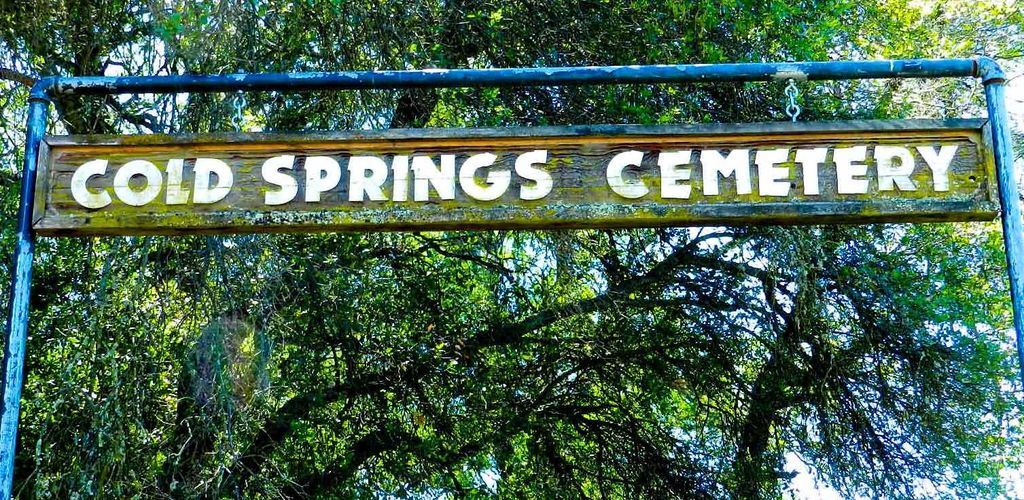
| Location | : | Cold Springs, El Dorado County, USA |
| Coordinate | : | 38.7441444, -120.8721619 |
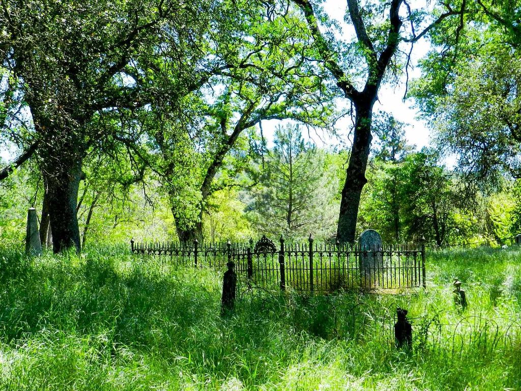
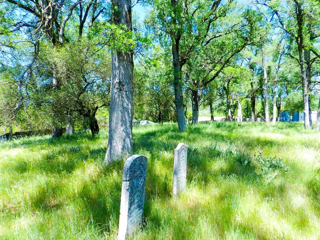
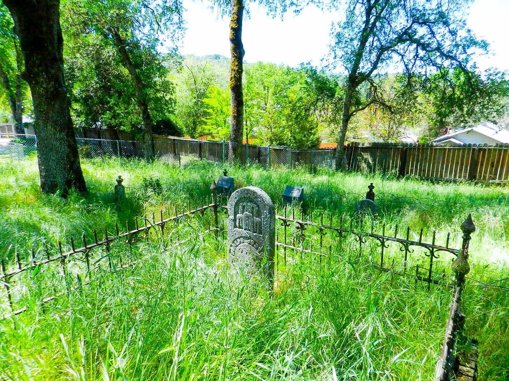
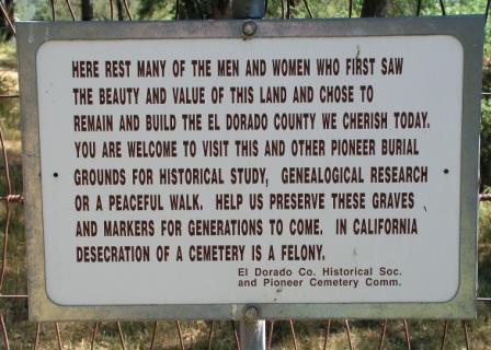
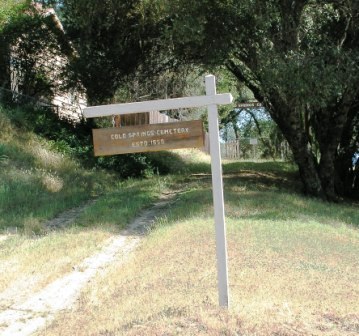
| Description | : | Located roughly half way between Placerville and Coloma, the Town of Cold Springs is known to have existed prior to the Fall of 1849, having been located near the confluence of Hangtown Creek and Cold Springs Creek. The cemetery site was originally on the opposite side (east side) of Cold Springs Road from the present site and began use in 1850. The cemetery was relocated to its current site in 1858, all interments in the old cemetery being moved to the new cemetery. Interments were made at the present site from 1858 through 1915. The earliest... Read More |
frequently asked questions (FAQ):
-
Where is Cold Springs Cemetery?
Cold Springs Cemetery is located at Cold Springs, El Dorado County ,California ,USA.
-
Cold Springs Cemetery cemetery's updated grave count on graveviews.com?
5 memorials
-
Where are the coordinates of the Cold Springs Cemetery?
Latitude: 38.7441444
Longitude: -120.8721619
Nearby Cemetories:
1. Gold Hill Cemetery
Gold Hill, El Dorado County, USA
Coordinate: 38.7604010, -120.8849970
2. Wakamastu Tea and Silk Farm Colony Burial Site
Coloma, El Dorado County, USA
Coordinate: 38.7674100, -120.8858100
3. Westwood Hills Memorial Park
Placerville, El Dorado County, USA
Coordinate: 38.7367363, -120.8326035
4. Westwood Hills Memorial Park Pet Cemetery
Placerville, El Dorado County, USA
Coordinate: 38.7365210, -120.8323130
5. Middletown Cemetery
Placerville, El Dorado County, USA
Coordinate: 38.7358704, -120.8301010
6. Missouri Flat Cemetery
Placerville, El Dorado County, USA
Coordinate: 38.7157360, -120.8403400
7. Kingsville Cemetery
El Dorado, El Dorado County, USA
Coordinate: 38.6993870, -120.8516060
8. Chili Bar Toll House Cemetery
Placerville, El Dorado County, USA
Coordinate: 38.7700530, -120.8177660
9. Jewish Pioneer Cemetery
Placerville, El Dorado County, USA
Coordinate: 38.7299500, -120.8091965
10. Placerville Union Cemetery
Placerville, El Dorado County, USA
Coordinate: 38.7317390, -120.8084106
11. Pioneer Cemetery
Coloma, El Dorado County, USA
Coordinate: 38.7943192, -120.8894577
12. Boles Family Cemetery
Placerville, El Dorado County, USA
Coordinate: 38.7309860, -120.8069580
13. Saint Patrick Cemetery
Placerville, El Dorado County, USA
Coordinate: 38.7327995, -120.8047638
14. Old Placerville City Cemetery
Placerville, El Dorado County, USA
Coordinate: 38.7258987, -120.8059464
15. County Hospital Cemetery
Placerville, El Dorado County, USA
Coordinate: 38.7342796, -120.8028488
16. James Marshall Monument and Gravesite
Coloma, El Dorado County, USA
Coordinate: 38.7963104, -120.8953781
17. Saint John's Catholic Churchyard
Coloma, El Dorado County, USA
Coordinate: 38.7975311, -120.8919678
18. Old Saint Patricks Cemetery
Placerville, El Dorado County, USA
Coordinate: 38.7249107, -120.8024673
19. Rose Springs Cemetery
Rescue, El Dorado County, USA
Coordinate: 38.7146150, -120.9398390
20. Indian Creek Cemetery
Coloma, El Dorado County, USA
Coordinate: 38.7974230, -120.9104530
21. Methodist Episcopal Federated Cemetery
Placerville, El Dorado County, USA
Coordinate: 38.7283287, -120.7942200
22. Uniontown Cemetery
Lotus, El Dorado County, USA
Coordinate: 38.7994003, -120.9111023
23. Carpenter Family Residence Burial Plot
Diamond Springs, El Dorado County, USA
Coordinate: 38.6941590, -120.8187750
24. Kelsey Cemetery
Kelsey, El Dorado County, USA
Coordinate: 38.7949791, -120.8200073

