| Memorials | : | 505 |
| Location | : | Coloma, El Dorado County, USA |
| Coordinate | : | 38.7943192, -120.8894577 |
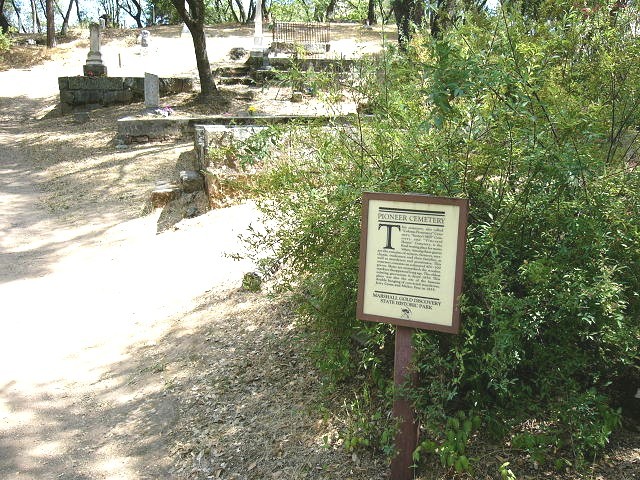
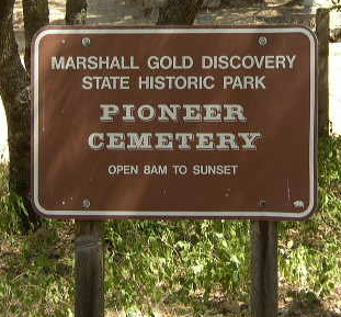
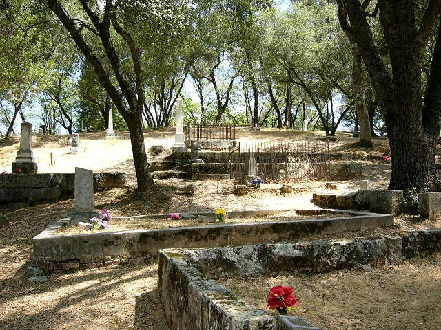
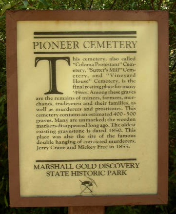
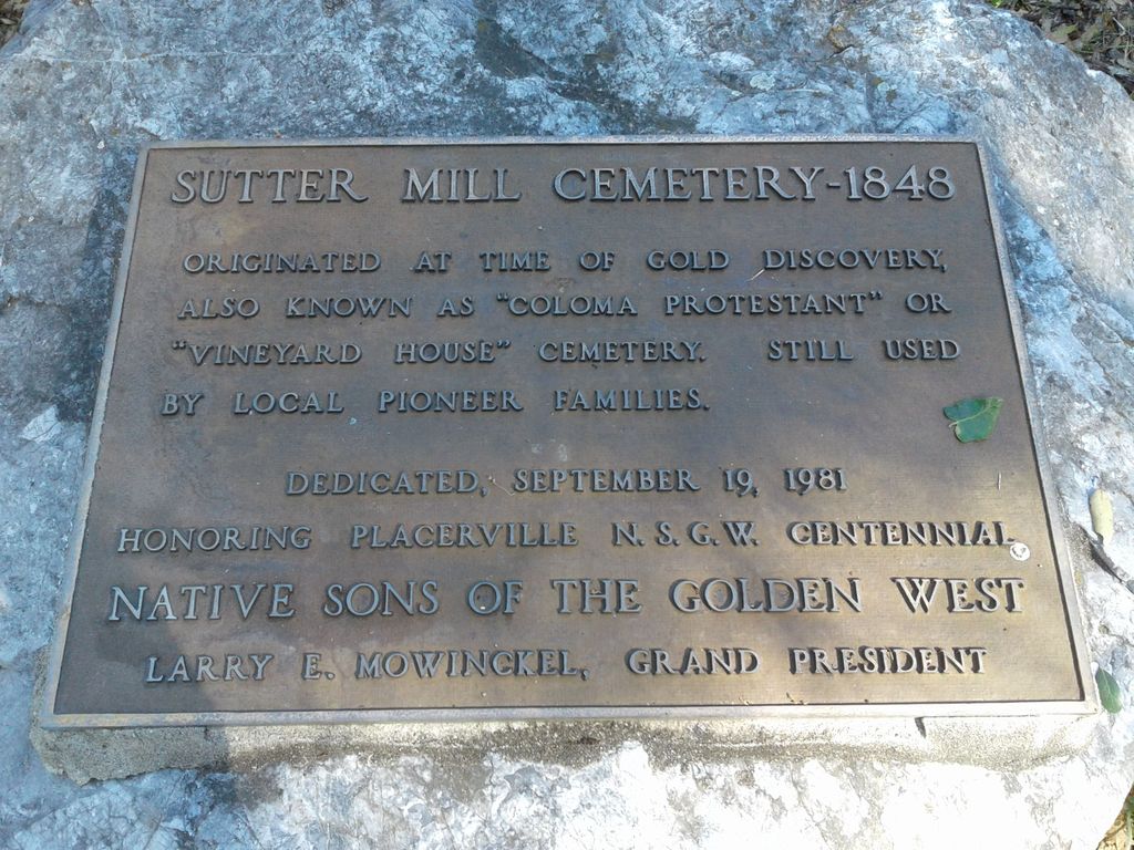
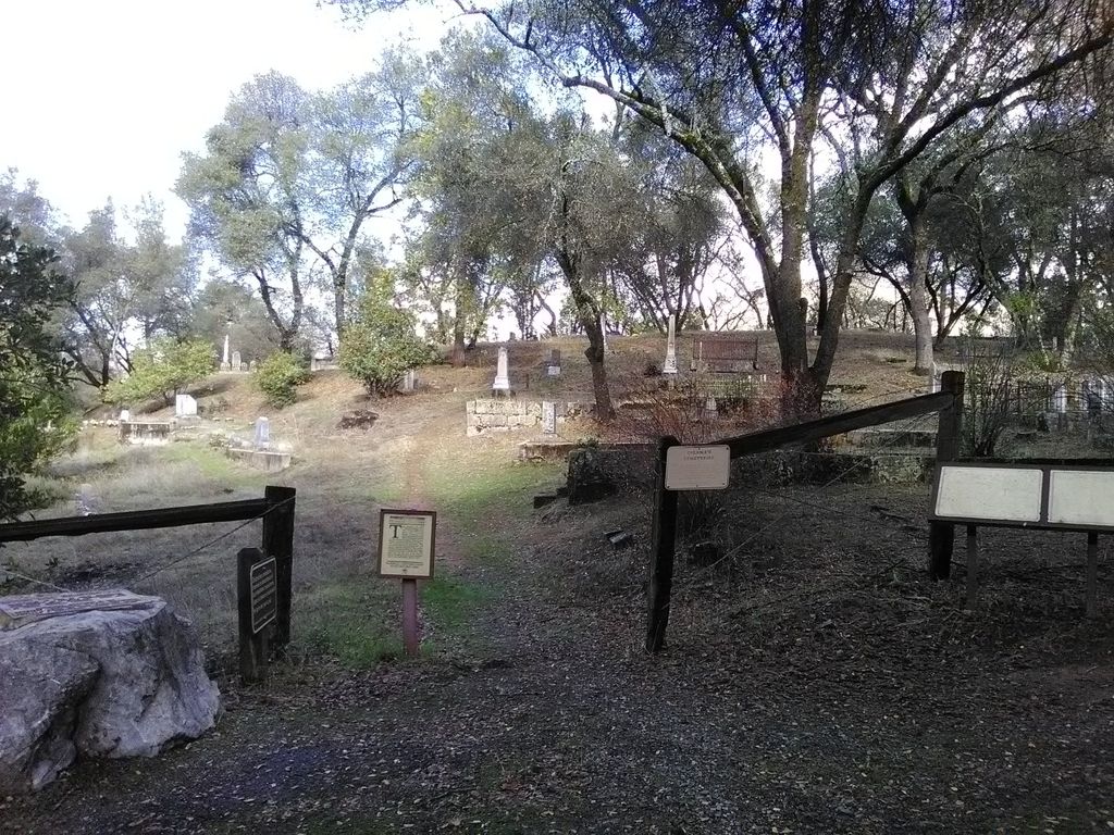
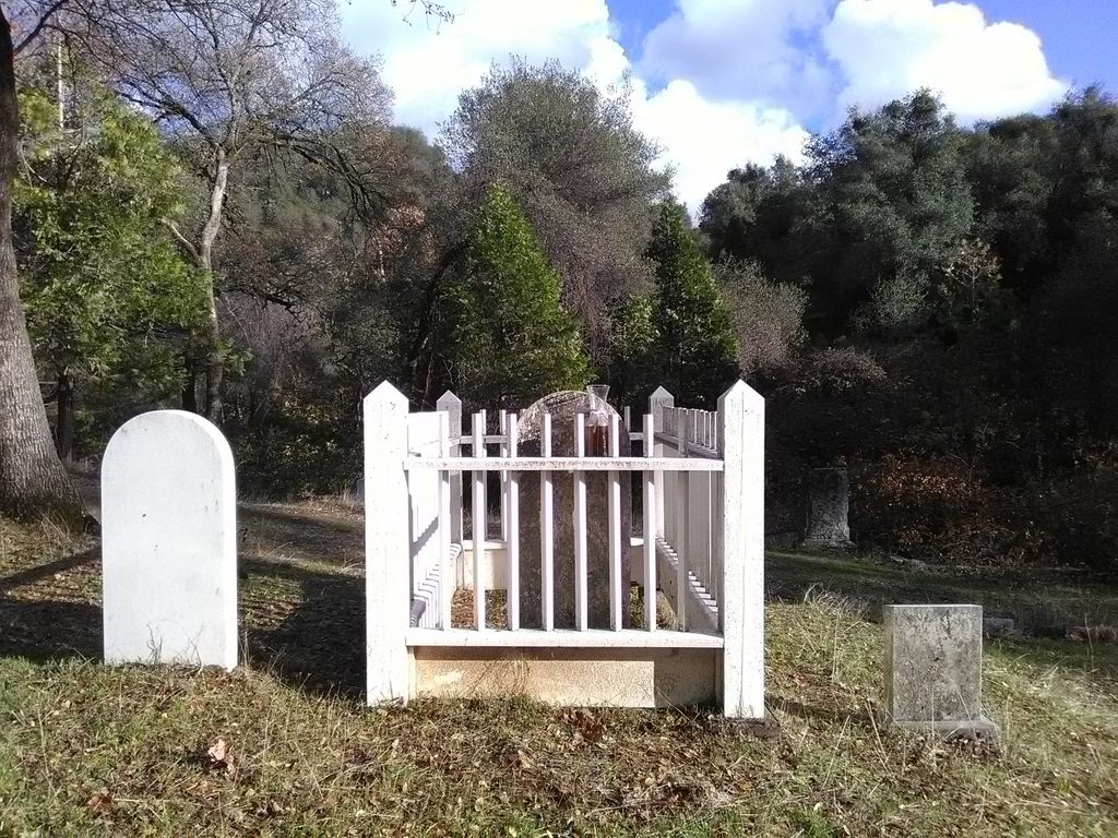
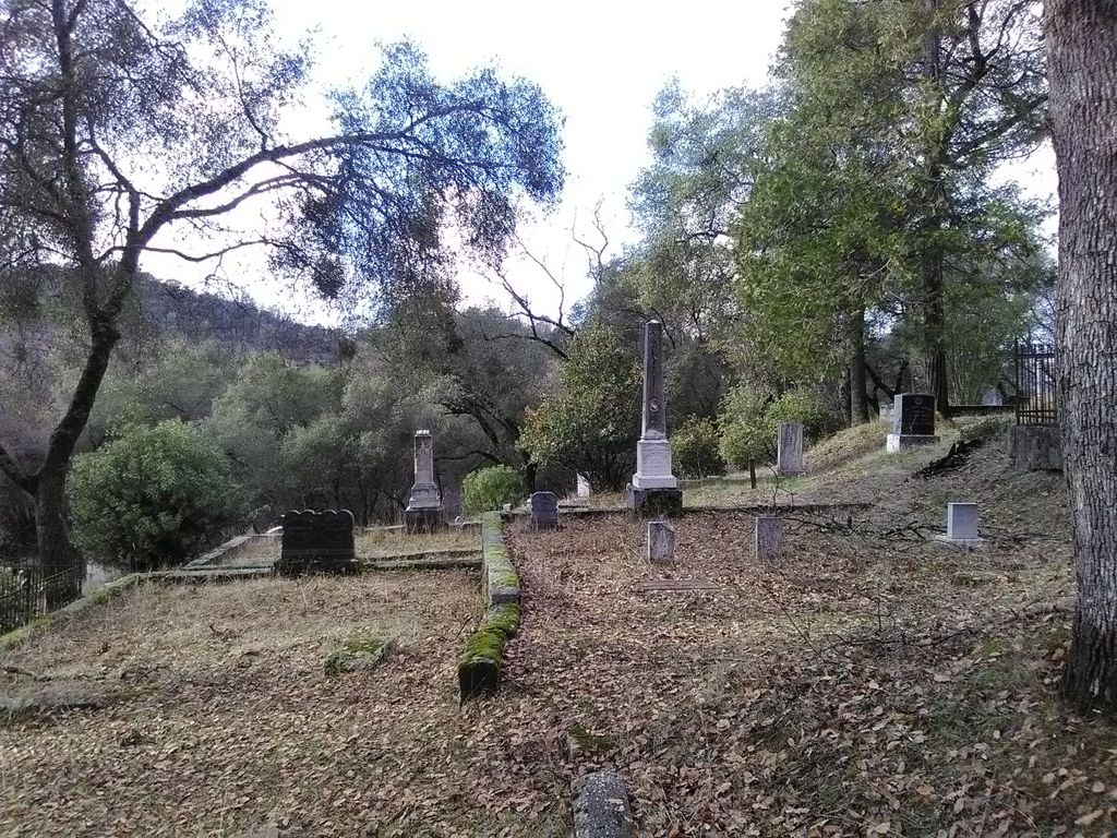
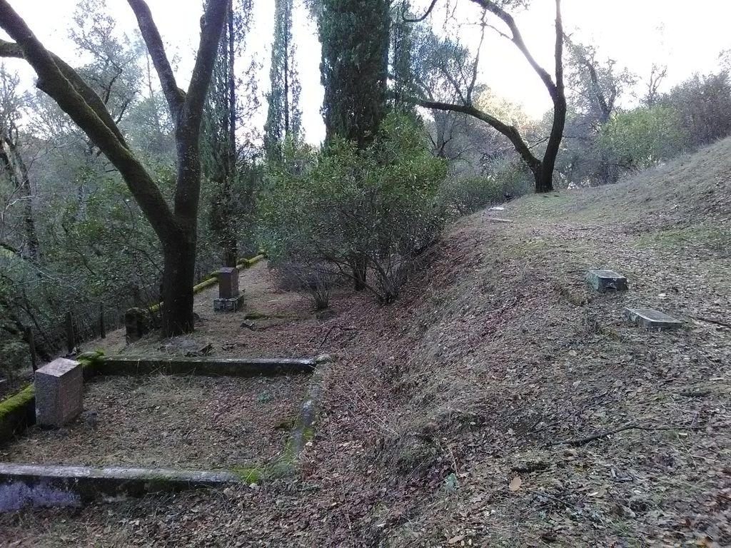
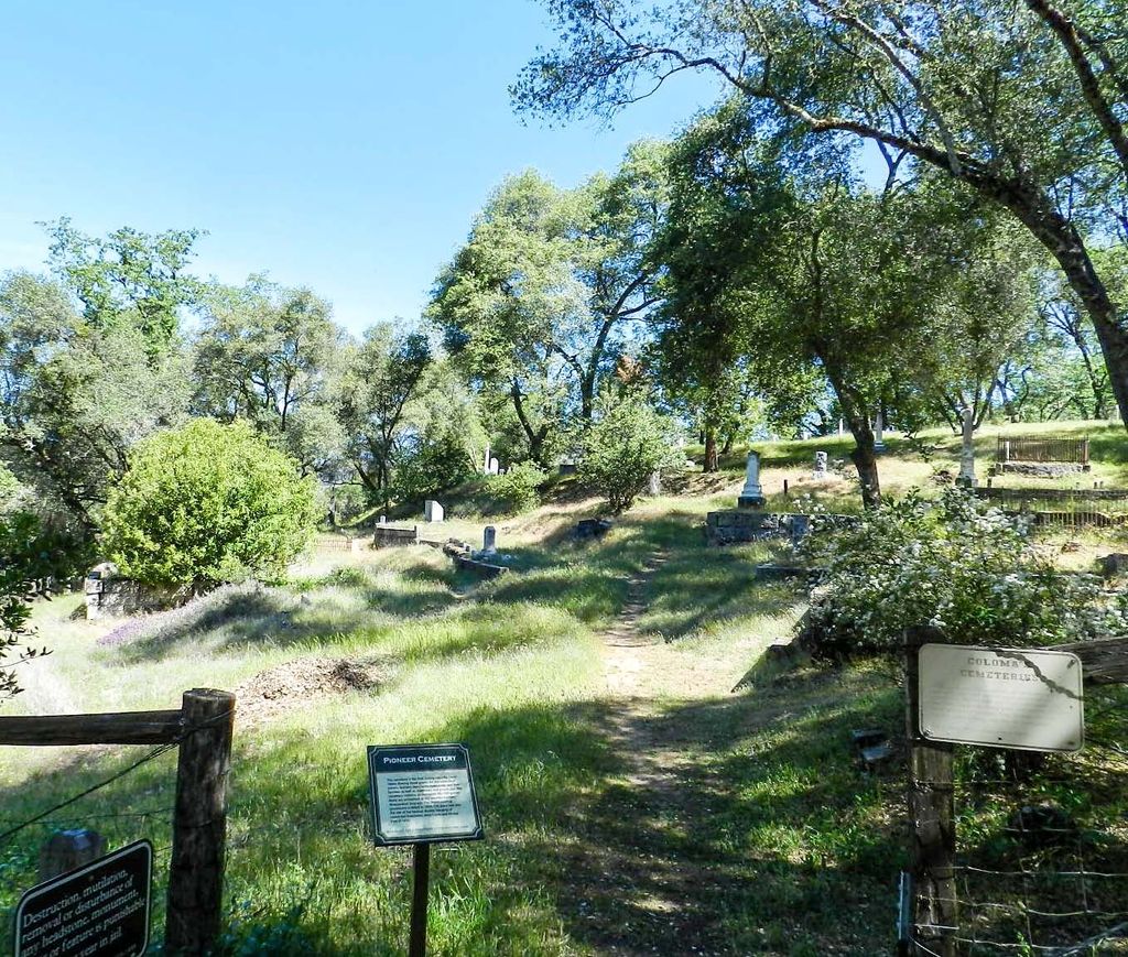
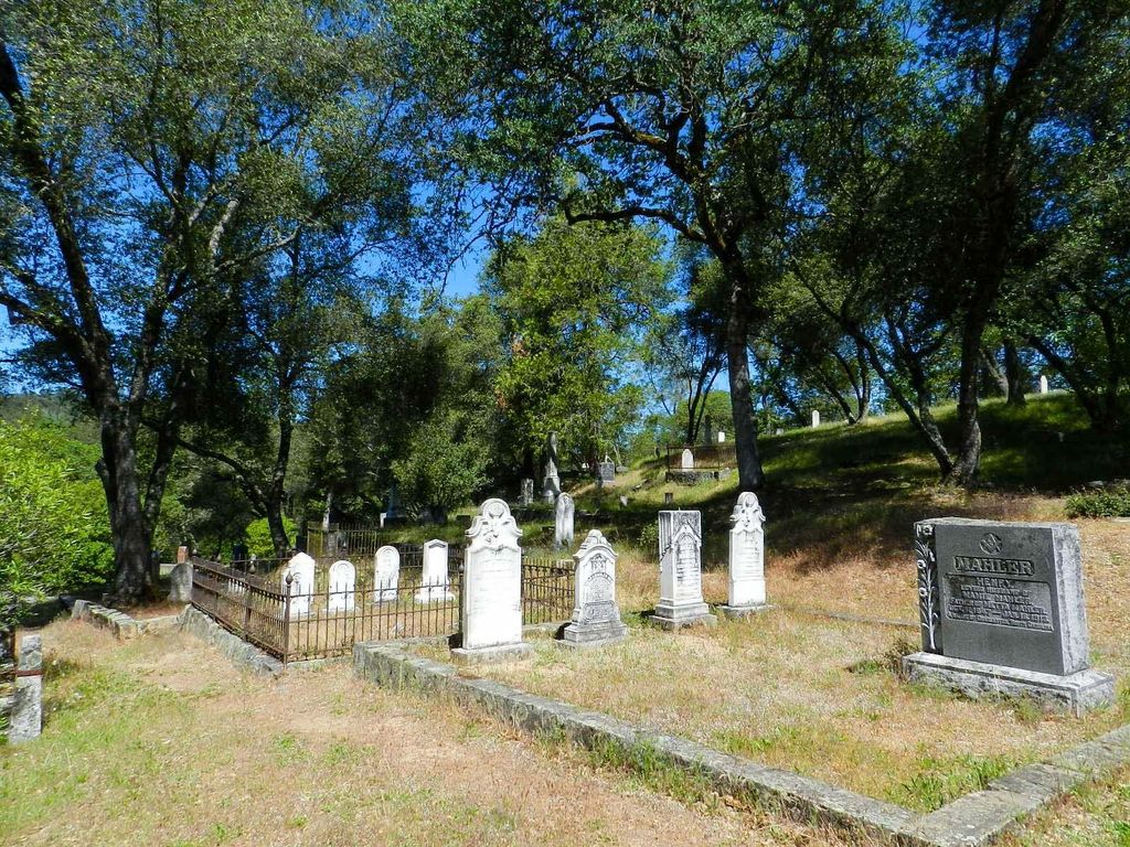
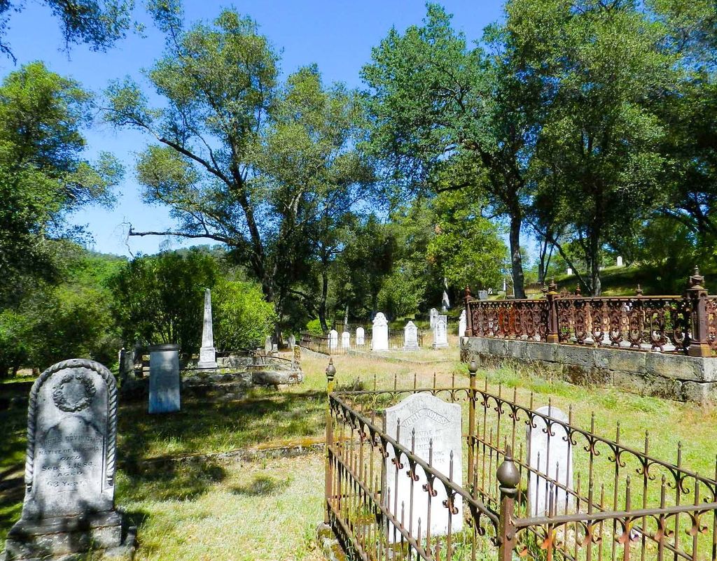
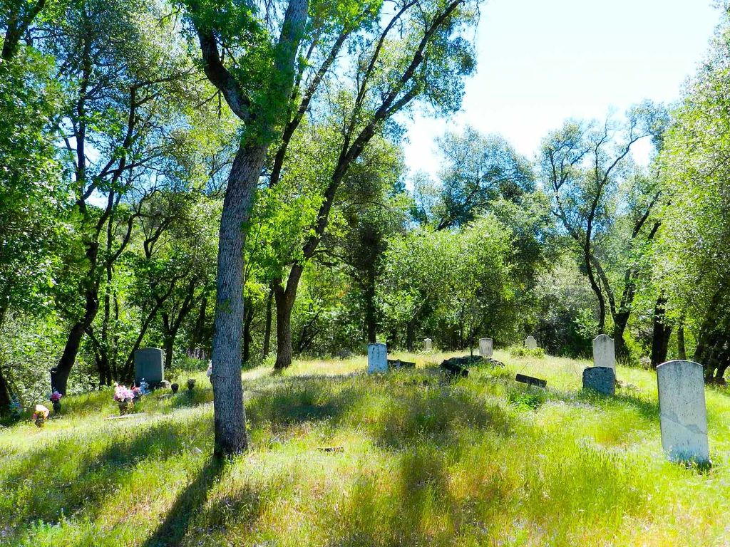
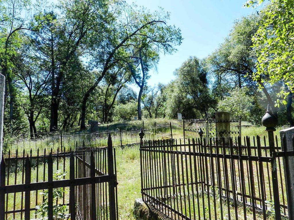
| Description | : | History: Located at the site of the historic gold discovery at Sutter's Mill, the Pioneer Cemetery at Coloma has been known by several names over the years. These include: Sutter Mill Cemetery, Coloma Protestant Cemetery and the Vineyard Cemetery. The first known interments were in 1849. Over all, over 600 souls would call this their final resting place. Many of the graves do not have markers. In fact it is estimated that between 200 and 300 graves are unmarked. The cemetery passed into the ownership of the State of California in 1981 and is now a... Read More |
frequently asked questions (FAQ):
-
Where is Pioneer Cemetery?
Pioneer Cemetery is located at Coloma, El Dorado County ,California ,USA.
-
Pioneer Cemetery cemetery's updated grave count on graveviews.com?
150 memorials
-
Where are the coordinates of the Pioneer Cemetery?
Latitude: 38.7943192
Longitude: -120.8894577
Nearby Cemetories:
1. Saint John's Catholic Churchyard
Coloma, El Dorado County, USA
Coordinate: 38.7975311, -120.8919678
2. James Marshall Monument and Gravesite
Coloma, El Dorado County, USA
Coordinate: 38.7963104, -120.8953781
3. Indian Creek Cemetery
Coloma, El Dorado County, USA
Coordinate: 38.7974230, -120.9104530
4. Uniontown Cemetery
Lotus, El Dorado County, USA
Coordinate: 38.7994003, -120.9111023
5. Wakamastu Tea and Silk Farm Colony Burial Site
Coloma, El Dorado County, USA
Coordinate: 38.7674100, -120.8858100
6. Gold Hill Cemetery
Gold Hill, El Dorado County, USA
Coordinate: 38.7604010, -120.8849970
7. Alabama Flat Cemetery
Garden Valley, El Dorado County, USA
Coordinate: 38.8413660, -120.8770510
8. Cold Springs Cemetery
Cold Springs, El Dorado County, USA
Coordinate: 38.7441444, -120.8721619
9. Kelsey Cemetery
Kelsey, El Dorado County, USA
Coordinate: 38.7949791, -120.8200073
10. Chili Bar Toll House Cemetery
Placerville, El Dorado County, USA
Coordinate: 38.7700530, -120.8177660
11. Westwood Hills Memorial Park
Placerville, El Dorado County, USA
Coordinate: 38.7367363, -120.8326035
12. Westwood Hills Memorial Park Pet Cemetery
Placerville, El Dorado County, USA
Coordinate: 38.7365210, -120.8323130
13. Middletown Cemetery
Placerville, El Dorado County, USA
Coordinate: 38.7358704, -120.8301010
14. Jayhawk Cemetery
Rescue, El Dorado County, USA
Coordinate: 38.7308006, -120.9627991
15. Missouri Flat Cemetery
Placerville, El Dorado County, USA
Coordinate: 38.7157360, -120.8403400
16. Rose Springs Cemetery
Rescue, El Dorado County, USA
Coordinate: 38.7146150, -120.9398390
17. Placerville Union Cemetery
Placerville, El Dorado County, USA
Coordinate: 38.7317390, -120.8084106
18. Jewish Pioneer Cemetery
Placerville, El Dorado County, USA
Coordinate: 38.7299500, -120.8091965
19. Saint Patrick Cemetery
Placerville, El Dorado County, USA
Coordinate: 38.7327995, -120.8047638
20. Boles Family Cemetery
Placerville, El Dorado County, USA
Coordinate: 38.7309860, -120.8069580
21. County Hospital Cemetery
Placerville, El Dorado County, USA
Coordinate: 38.7342796, -120.8028488
22. Old Placerville City Cemetery
Placerville, El Dorado County, USA
Coordinate: 38.7258987, -120.8059464
23. Old Saint Patricks Cemetery
Placerville, El Dorado County, USA
Coordinate: 38.7249107, -120.8024673
24. Methodist Episcopal Federated Cemetery
Placerville, El Dorado County, USA
Coordinate: 38.7283287, -120.7942200

