
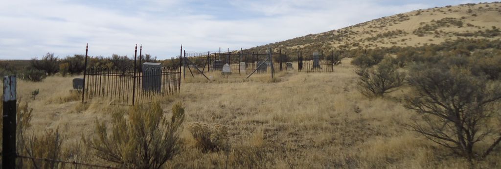
| Memorials | : | 0 |
| Location | : | Bliss, Gooding County, USA |
| Coordinate | : | 43.0297000, -114.9458000 |
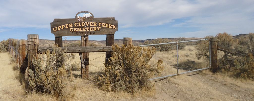
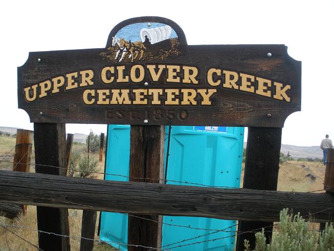
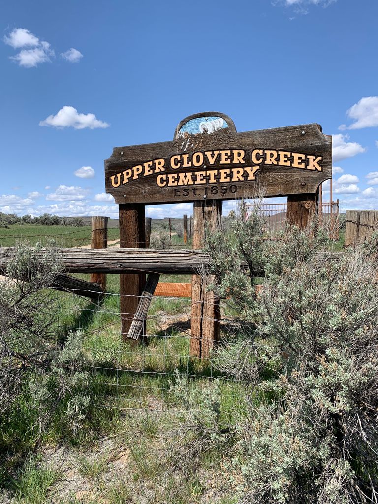
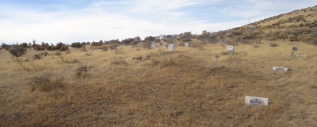
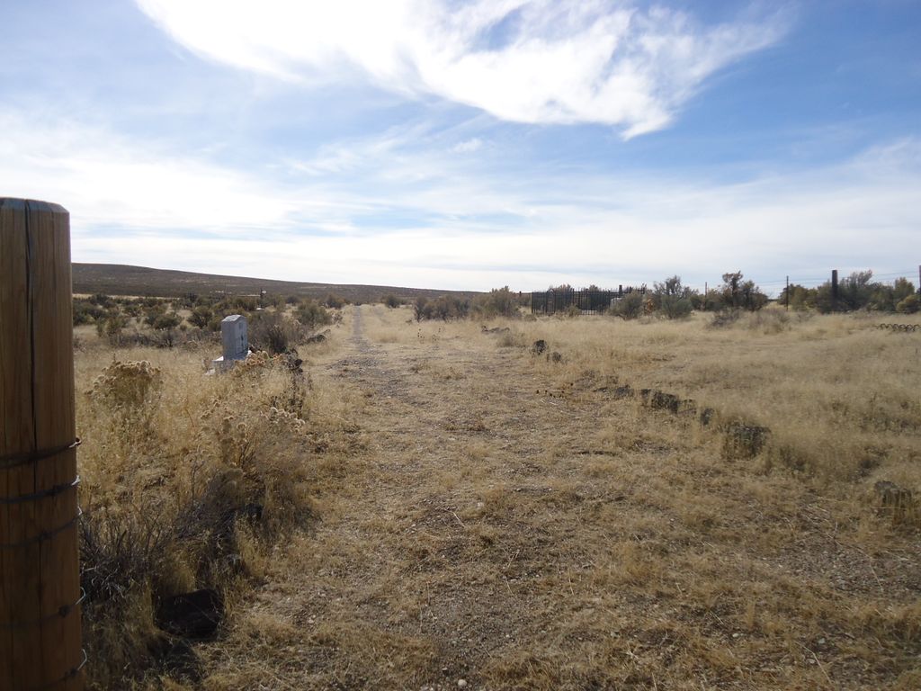
| Description | : | 7 1/2 Miles North, 1/2 Mile East, of Bliss, Idaho The North Alternate Route of the Old Oregon Trail crossed the Snake River near Thousand Springs beginning in 1853 when Ed Taylor put in the first scow. It came past the present site of Tuttle crossing the Malad River, meandering as purposefully as the topography would permit, past the Bliss Point, over the Natural Bridges and down the north side of Clover Creek, across Bell Mare and on to the future site of King Hill Station. This cemetery is just a little east of the emigrant trail and the first... Read More |
frequently asked questions (FAQ):
-
Where is Upper Clover Creek Cemetery?
Upper Clover Creek Cemetery is located at Bliss, Gooding County ,Idaho ,USA.
-
Upper Clover Creek Cemetery cemetery's updated grave count on graveviews.com?
0 memorials
-
Where are the coordinates of the Upper Clover Creek Cemetery?
Latitude: 43.0297000
Longitude: -114.9458000
Nearby Cemetories:
1. Lower Clover Creek Cemetery
Bliss, Gooding County, USA
Coordinate: 43.0229100, -115.0456200
2. Chinese Memorial Cemetery
Gooding County, USA
Coordinate: 42.9266000, -114.9841000
3. Pioneer Cemetery
Bliss, Gooding County, USA
Coordinate: 42.9227982, -114.9443970
4. Bliss Family Cemetery
Bliss, Gooding County, USA
Coordinate: 42.9084900, -114.9497800
5. Hagerman Pioneer Cemetery
Hagerman, Gooding County, USA
Coordinate: 42.8298000, -114.9040000
6. Elmwood Cemetery
Gooding, Gooding County, USA
Coordinate: 42.9308014, -114.7011032
7. King Hill Cemetery
King Hill, Elmore County, USA
Coordinate: 42.9975610, -115.2239060
8. Pioneer Cemetery
Gooding, Gooding County, USA
Coordinate: 42.9324989, -114.6931000
9. Hagerman Cemetery
Hagerman, Gooding County, USA
Coordinate: 42.8230500, -114.8902810
10. Manard Cemetery
Fairfield, Camas County, USA
Coordinate: 43.2675018, -114.7463989
11. Glenn Rest Cemetery
Glenns Ferry, Elmore County, USA
Coordinate: 42.9551700, -115.3147500
12. Hill City Cemetery
Camas County, USA
Coordinate: 43.3081017, -115.0457993
13. Wendell Cemetery
Wendell, Gooding County, USA
Coordinate: 42.7734160, -114.7111700
14. Corral Cemetery
Fairfield, Camas County, USA
Coordinate: 43.3857994, -114.9431000
15. Mountain View Cemetery
Fairfield, Camas County, USA
Coordinate: 43.4131012, -114.7893982
16. Shoshone Cemetery
Shoshone, Lincoln County, USA
Coordinate: 42.9388270, -114.3879960
17. Jerome Cemetery
Jerome, Jerome County, USA
Coordinate: 42.7141400, -114.5299500
18. Church of God in Christ Mennonite Cemetery
Buhl, Twin Falls County, USA
Coordinate: 42.5942000, -114.8307000
19. Snake River Canyon National Cemetery
Buhl, Twin Falls County, USA
Coordinate: 42.6016979, -114.7586136
20. West End Cemetery
Buhl, Twin Falls County, USA
Coordinate: 42.6008380, -114.7366730
21. Barbara Ann Morgan Gravesite
Twin Falls County, USA
Coordinate: 42.5768970, -114.7119550
22. Dietrich Cemetery
Dietrich, Lincoln County, USA
Coordinate: 42.8946400, -114.2958400
23. Valley View Mennonite Church Cemetery
Twin Falls County, USA
Coordinate: 42.5670000, -114.6745000
24. Monastery of the Ascension Cemetery
Jerome, Jerome County, USA
Coordinate: 42.7067000, -114.4162000