
| Memorials | : | 652 |
| Location | : | Novato, Marin County, USA |
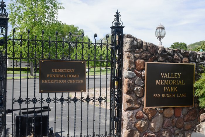
| Phone | : | 415-897-9609 |
| Coordinate | : | 38.1204300, -122.5436300 |
| Description | : | Now requires a notarized letter from family members stating any photos taken are for their personal use. |
frequently asked questions (FAQ):
-
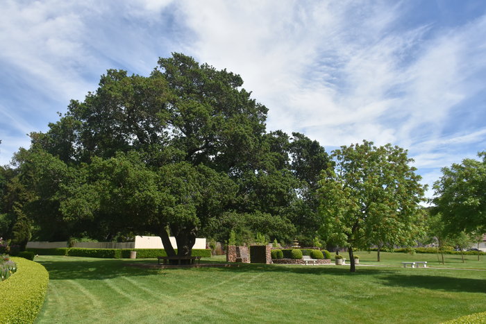
Where is Valley Memorial Park?
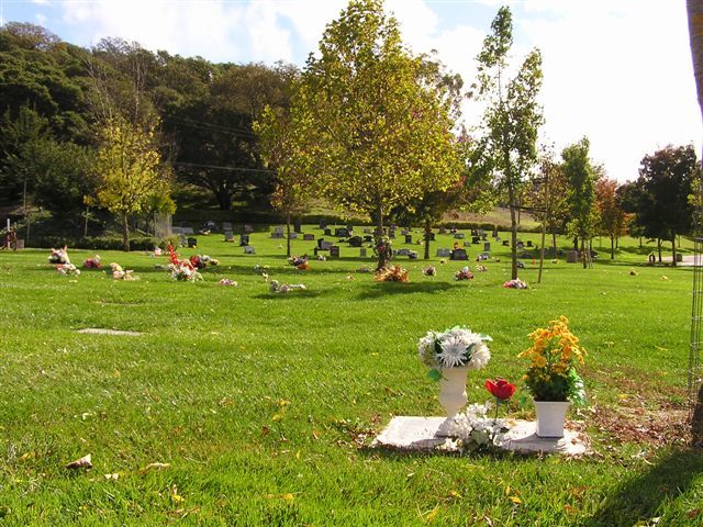
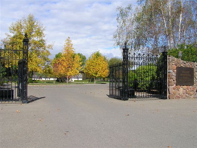
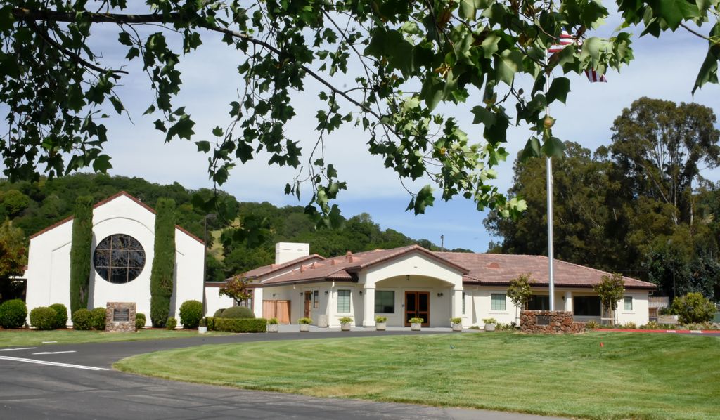
Valley Memorial Park is located at 650 Bugeia Lane Novato, Marin County ,California , 94945USA.
-
Valley Memorial Park cemetery's updated grave count on graveviews.com?
609 memorials
-
Where are the coordinates of the Valley Memorial Park?
Latitude: 38.1204300
Longitude: -122.5436300
Nearby Cemetories:
1. Pioneer Memorial Cemetery
Novato, Marin County, USA
Coordinate: 38.1132532, -122.5902599
2. Saint Vincents Orphanage Cemetery
San Rafael, Marin County, USA
Coordinate: 38.0355800, -122.5334550
3. Marin County Farm Cemetery
Marin County, USA
Coordinate: 38.0285500, -122.5652530
4. Mount Olivet Catholic Cemetery
San Rafael, Marin County, USA
Coordinate: 38.0024986, -122.5397034
5. Mount Tamalpais Cemetery
San Rafael, Marin County, USA
Coordinate: 37.9861984, -122.5544891
6. General Vallejo Ranch Cemetery
Sonoma, Sonoma County, USA
Coordinate: 38.2554500, -122.5845200
7. Oak Hill Cemetery
Petaluma, Sonoma County, USA
Coordinate: 38.2365130, -122.6509010
8. Mission San Rafael Arcangel Cemetery
San Rafael, Marin County, USA
Coordinate: 37.9744330, -122.5280570
9. Calvary Catholic Cemetery
Petaluma, Sonoma County, USA
Coordinate: 38.2449000, -122.6493400
10. B'nai Israel Cemetery
Petaluma, Sonoma County, USA
Coordinate: 38.2454700, -122.6490000
11. First Presbyterian Church Memorial Garden
San Anselmo, Marin County, USA
Coordinate: 37.9703310, -122.5667860
12. Cypress Hill Memorial Park
Petaluma, Sonoma County, USA
Coordinate: 38.2472000, -122.6505966
13. My Pets Cemetery
Petaluma, Sonoma County, USA
Coordinate: 38.2472000, -122.6506000
14. Montgomery Memorial Chapel Crypt
San Anselmo, Marin County, USA
Coordinate: 37.9687940, -122.5638630
15. Taylor Cemetery
Lagunitas, Marin County, USA
Coordinate: 38.0272580, -122.7346590
16. Faith Lutheran Church Memorial Garden
Sonoma, Sonoma County, USA
Coordinate: 38.2932380, -122.4880690
17. Valley Cemetery
Sonoma, Sonoma County, USA
Coordinate: 38.2832985, -122.4496994
18. San Quentin Prison Cemetery
San Rafael, Marin County, USA
Coordinate: 37.9436480, -122.4883760
19. Mission San Francisco Solano Cemetery
Sonoma, Sonoma County, USA
Coordinate: 38.2937164, -122.4561844
20. Trinity Episcopal Church Columbarium
Sonoma, Sonoma County, USA
Coordinate: 38.2930390, -122.4521650
21. Saint Francis Solano Cemetery
Sonoma, Sonoma County, USA
Coordinate: 38.2915993, -122.4459991
22. Sonoma Veterans Cemetery
Sonoma, Sonoma County, USA
Coordinate: 38.2992790, -122.4566390
23. Mountain Cemetery
Sonoma, Sonoma County, USA
Coordinate: 38.3008003, -122.4535980
24. Liberty Cemetery
Petaluma, Sonoma County, USA
Coordinate: 38.2781990, -122.7055500