
| Memorials | : | 0 |
| Location | : | Jefferson County, USA |
| Coordinate | : | 38.7191944, -85.2338889 |
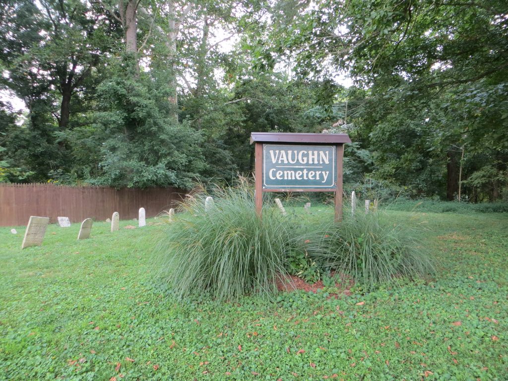
| Description | : | Section 7 Twp. 3N Range 12E Milton Twp On S.R. 56, less than a mile east of Brooksburg, IN. Across SR 56 from Splinters Ridge Road. Cemetery is on the river bank at east boundary of High Acres (private property). The cemetery is being restored and is greatly improved. A gas transmission pipeline crosses the river a few yards downstream of the cemetery. |
frequently asked questions (FAQ):
-
Where is Vaughn Cemetery?
Vaughn Cemetery is located at Jefferson County ,Indiana ,USA.
-
Vaughn Cemetery cemetery's updated grave count on graveviews.com?
0 memorials
-
Where are the coordinates of the Vaughn Cemetery?
Latitude: 38.7191944
Longitude: -85.2338889
Nearby Cemetories:
1. Armstrong Cemetery
Brooksburg, Jefferson County, USA
Coordinate: 38.7172650, -85.2298910
2. Morris Chapel Cemetery
Brooksburg, Jefferson County, USA
Coordinate: 38.7253720, -85.2328910
3. Gale Cemetery
Brooksburg, Jefferson County, USA
Coordinate: 38.7104170, -85.2236390
4. Young Cemetery
Carroll County, USA
Coordinate: 38.7232870, -85.2594270
5. McKay Cemetery #1
Brooksburg, Jefferson County, USA
Coordinate: 38.7065800, -85.2120790
6. Brooksburg Cemetery
Brooksburg, Jefferson County, USA
Coordinate: 38.7399330, -85.2429428
7. Sample Family Farm Cemetery
Lamb, Switzerland County, USA
Coordinate: 38.7050180, -85.1936290
8. Hunters Bottom Cemetery
Locust, Carroll County, USA
Coordinate: 38.7262700, -85.2802930
9. Bear Farm Cemetery
Manville, Jefferson County, USA
Coordinate: 38.7569420, -85.2433860
10. Hunters Bottom Cemetery (Defunct)
Carrollton, Carroll County, USA
Coordinate: 38.7332360, -85.2800640
11. Wolf Cemetery
Jefferson County, USA
Coordinate: 38.7561400, -85.2140600
12. Ash Cemetery
Lamb, Switzerland County, USA
Coordinate: 38.6939180, -85.1891040
13. Taylor Cemetery
Carroll County, USA
Coordinate: 38.6778900, -85.2533500
14. Kings Ridge Cemetery
Carroll County, USA
Coordinate: 38.6738740, -85.2324670
15. King-Bradley Cemetery
Carroll County, USA
Coordinate: 38.6953570, -85.2833410
16. Mount Zion Nazarene Church Cemetery
Five Points, Switzerland County, USA
Coordinate: 38.7471008, -85.1840057
17. Cull Cemetery
Carrollton, Carroll County, USA
Coordinate: 38.6953700, -85.2893260
18. Phillips Cemetery
Milton Township, Jefferson County, USA
Coordinate: 38.7690600, -85.2307270
19. Saint Peters Lutheran Church Cemetery
Carrollton, Carroll County, USA
Coordinate: 38.7349800, -85.2951300
20. Giltner Cemetery
Carroll County, USA
Coordinate: 38.7349170, -85.2956140
21. Cain Cemetery
Lamb, Switzerland County, USA
Coordinate: 38.6918280, -85.1764990
22. Spillman Cemetery
Carroll County, USA
Coordinate: 38.6701200, -85.2582700
23. Wright Cemetery
Carroll County, USA
Coordinate: 38.6699500, -85.2586200
24. Joyce Cemetery
Madison, Jefferson County, USA
Coordinate: 38.7710320, -85.2535740