
| Memorials | : | 0 |
| Location | : | Locust, Carroll County, USA |
| Coordinate | : | 38.7262700, -85.2802930 |
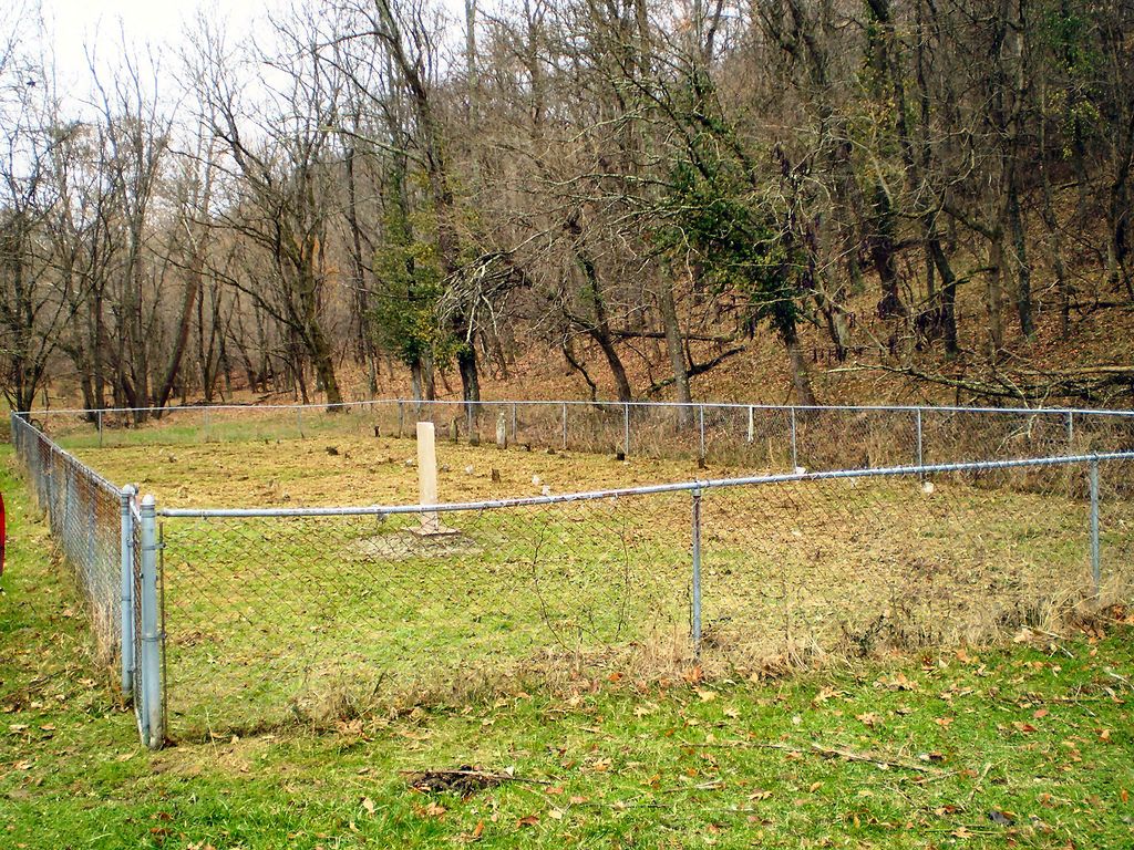
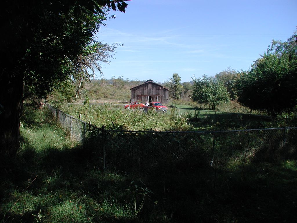
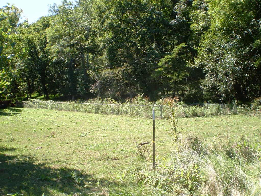
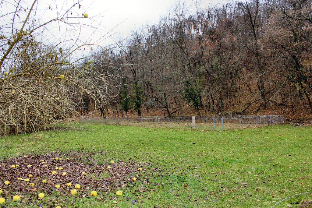
| Description | : | The earliest known burial in this cemetery is Sarah Walton Watkins Morris, the sister of George Walton, a Signer of the Declaration of Independence from Georgia. When she died in 1801 the land belonged to her husband Rev. Joshua Morris, a noted early Kentucky Baptist minister. The tract was later owned by George Boone, a brother of Daniel Boone. In the 1870's and for many years after the land belonged to the Cornelius Deweese family, but eventually the property was taken over by a gravel pit. Some had referred to the old cemetery as the... Read More |
frequently asked questions (FAQ):
-
Where is Hunters Bottom Cemetery?
Hunters Bottom Cemetery is located at Kentucky Highway 36 Locust, Carroll County ,Kentucky , 40045USA.
-
Hunters Bottom Cemetery cemetery's updated grave count on graveviews.com?
0 memorials
-
Where are the coordinates of the Hunters Bottom Cemetery?
Latitude: 38.7262700
Longitude: -85.2802930
Nearby Cemetories:
1. Hunters Bottom Cemetery (Defunct)
Carrollton, Carroll County, USA
Coordinate: 38.7332360, -85.2800640
2. Saint Peters Lutheran Church Cemetery
Carrollton, Carroll County, USA
Coordinate: 38.7349800, -85.2951300
3. Giltner Cemetery
Carroll County, USA
Coordinate: 38.7349170, -85.2956140
4. Young Cemetery
Carroll County, USA
Coordinate: 38.7232870, -85.2594270
5. Giltner Cemetery (Defunct)
Carrollton, Carroll County, USA
Coordinate: 38.7261300, -85.3079500
6. Bee Camp Cemetery
Manville, Jefferson County, USA
Coordinate: 38.7491370, -85.2975440
7. King-Bradley Cemetery
Carroll County, USA
Coordinate: 38.6953570, -85.2833410
8. Cull Cemetery
Carrollton, Carroll County, USA
Coordinate: 38.6953700, -85.2893260
9. Brooksburg Cemetery
Brooksburg, Jefferson County, USA
Coordinate: 38.7399330, -85.2429428
10. Vaughn Cemetery
Jefferson County, USA
Coordinate: 38.7191944, -85.2338889
11. Morris Chapel Cemetery
Brooksburg, Jefferson County, USA
Coordinate: 38.7253720, -85.2328910
12. Pleasant Ridge Methodist Episcopal Cemetery
Madison, Jefferson County, USA
Coordinate: 38.7650440, -85.2873250
13. Armstrong Cemetery
Brooksburg, Jefferson County, USA
Coordinate: 38.7172650, -85.2298910
14. Bear Farm Cemetery
Manville, Jefferson County, USA
Coordinate: 38.7569420, -85.2433860
15. Reul Cemetery
Jefferson County, USA
Coordinate: 38.7665360, -85.3059890
16. Gale Cemetery
Brooksburg, Jefferson County, USA
Coordinate: 38.7104170, -85.2236390
17. Lanham Cemetery
Manville, Jefferson County, USA
Coordinate: 38.7720850, -85.2640000
18. Joyce Cemetery
Madison, Jefferson County, USA
Coordinate: 38.7710320, -85.2535740
19. Taylor Cemetery
Carroll County, USA
Coordinate: 38.6778900, -85.2533500
20. Thomas Graveyard
Jefferson County, USA
Coordinate: 38.7486000, -85.3465000
21. McKay Cemetery #1
Brooksburg, Jefferson County, USA
Coordinate: 38.7065800, -85.2120790
22. Phillips Cemetery
Milton Township, Jefferson County, USA
Coordinate: 38.7690600, -85.2307270
23. Spillman Cemetery
Carroll County, USA
Coordinate: 38.6701200, -85.2582700
24. Wright Cemetery
Carroll County, USA
Coordinate: 38.6699500, -85.2586200