
| Memorials | : | 44 |
| Location | : | Carroll County, USA |
| Coordinate | : | 38.7349170, -85.2956140 |
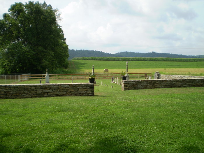
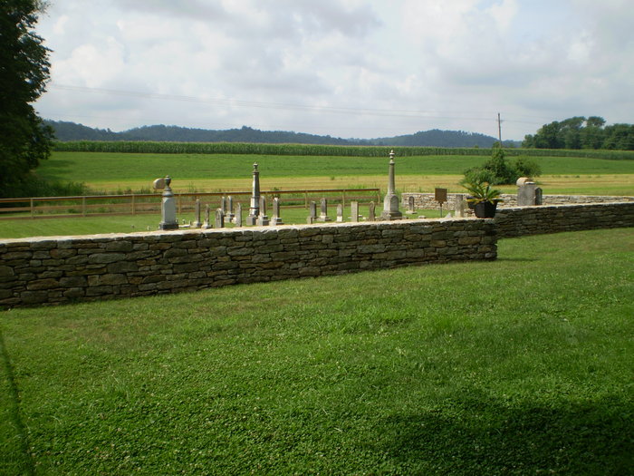
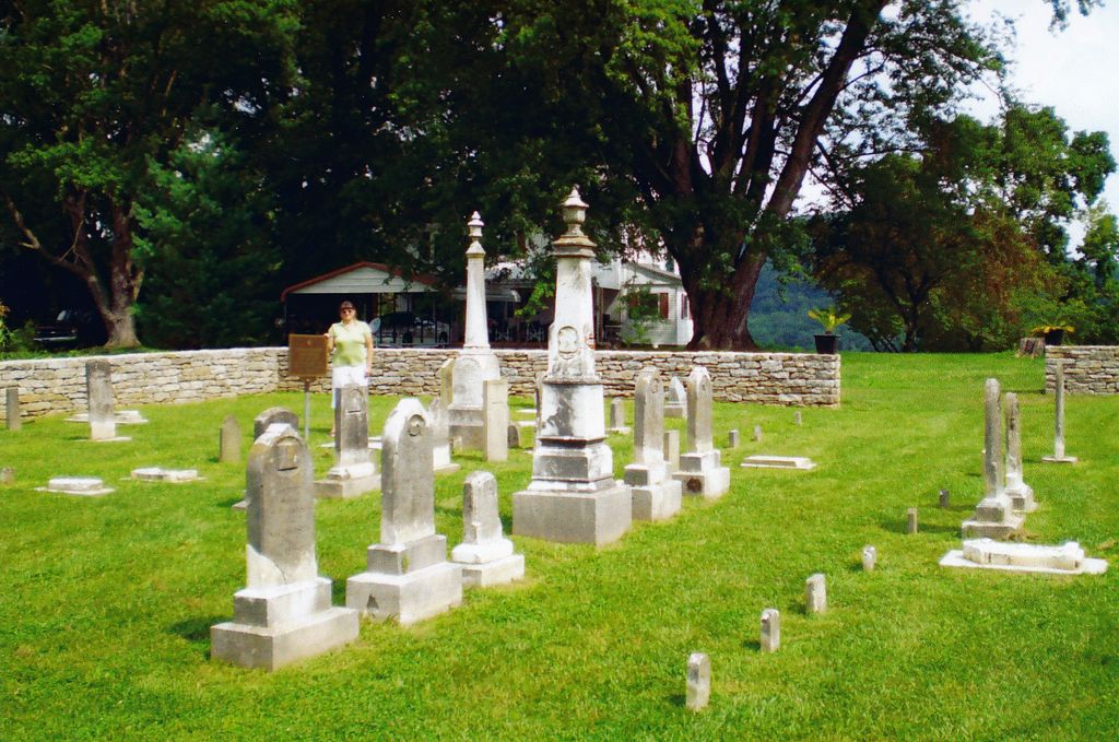
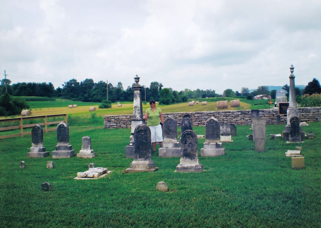
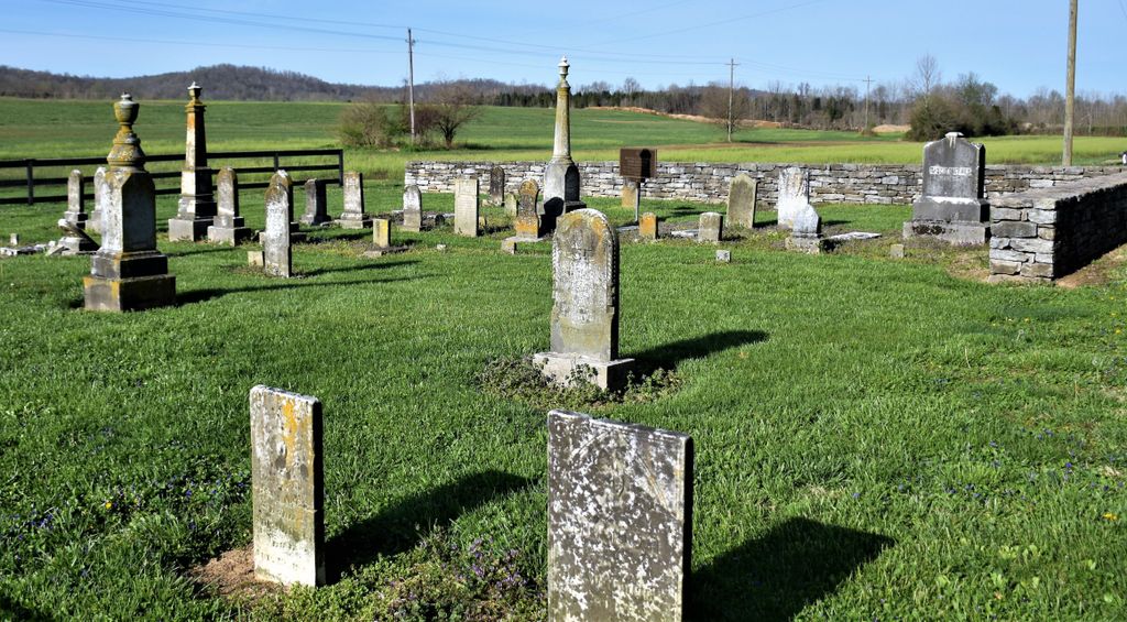
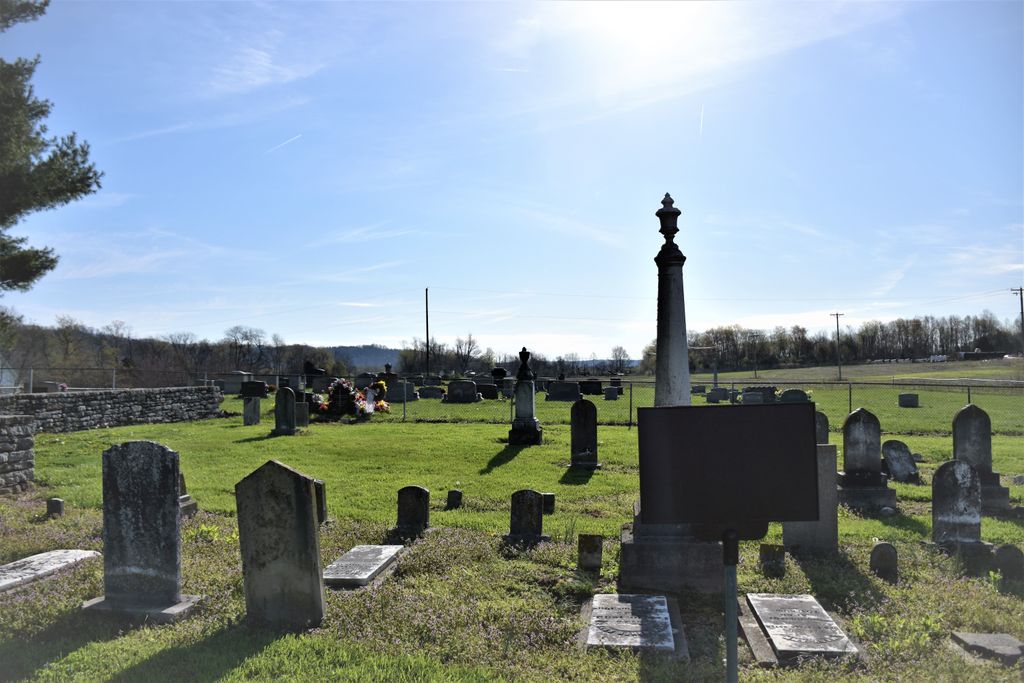
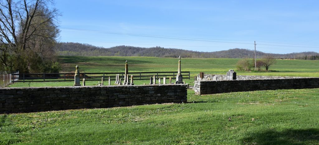
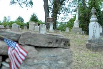
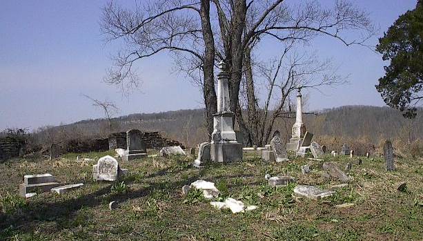
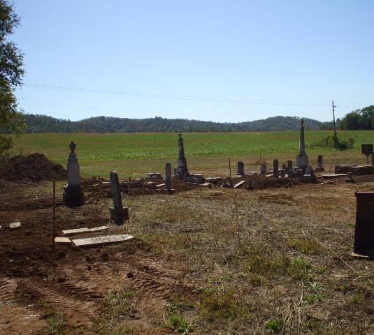
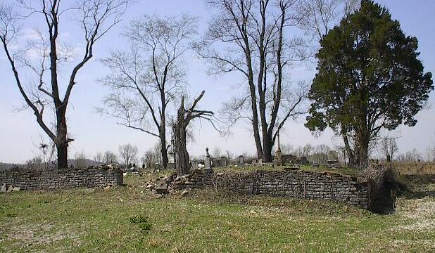
| Description | : | Fiscal Court OKs company's plan to relocate cemetery: Carroll County Fiscal Court voted Tuesday to allow relocation of a cemetery on property owned by Nugent Sand Company on State Hwy. 36 West. The Giltner Family Cemetery , now located on land behind Indiana-Kentucky Trucking Co., will be moved to Nugent Sand property that adjoins St. Peter Lutheran Church, also on Hwy. 36. Fiscal Court approved the resolution to declare the cemetery abandoned, granting Nugent permission to proceed with its relocation. Judge-Executive Harold "Shorty" Tomlinson said Nugent will do so at its own expense. Funeral director Rob Riley of Tandy-Ekler-Riley Funeral Home said a... Read More |
frequently asked questions (FAQ):
-
Where is Giltner Cemetery?
Giltner Cemetery is located at Kentucky Highway 36 Carroll County ,Kentucky , 40045USA.
-
Giltner Cemetery cemetery's updated grave count on graveviews.com?
44 memorials
-
Where are the coordinates of the Giltner Cemetery?
Latitude: 38.7349170
Longitude: -85.2956140
Nearby Cemetories:
1. Saint Peters Lutheran Church Cemetery
Carrollton, Carroll County, USA
Coordinate: 38.7349800, -85.2951300
2. Hunters Bottom Cemetery (Defunct)
Carrollton, Carroll County, USA
Coordinate: 38.7332360, -85.2800640
3. Giltner Cemetery (Defunct)
Carrollton, Carroll County, USA
Coordinate: 38.7261300, -85.3079500
4. Bee Camp Cemetery
Manville, Jefferson County, USA
Coordinate: 38.7491370, -85.2975440
5. Hunters Bottom Cemetery
Locust, Carroll County, USA
Coordinate: 38.7262700, -85.2802930
6. Young Cemetery
Carroll County, USA
Coordinate: 38.7232870, -85.2594270
7. Pleasant Ridge Methodist Episcopal Cemetery
Madison, Jefferson County, USA
Coordinate: 38.7650440, -85.2873250
8. Reul Cemetery
Jefferson County, USA
Coordinate: 38.7665360, -85.3059890
9. Cull Cemetery
Carrollton, Carroll County, USA
Coordinate: 38.6953700, -85.2893260
10. King-Bradley Cemetery
Carroll County, USA
Coordinate: 38.6953570, -85.2833410
11. Brooksburg Cemetery
Brooksburg, Jefferson County, USA
Coordinate: 38.7399330, -85.2429428
12. Thomas Graveyard
Jefferson County, USA
Coordinate: 38.7486000, -85.3465000
13. Lanham Cemetery
Manville, Jefferson County, USA
Coordinate: 38.7720850, -85.2640000
14. Bear Farm Cemetery
Manville, Jefferson County, USA
Coordinate: 38.7569420, -85.2433860
15. Brown-Bacon Cemetery
Madison, Jefferson County, USA
Coordinate: 38.7489610, -85.3538550
16. Joyce Cemetery
Madison, Jefferson County, USA
Coordinate: 38.7710320, -85.2535740
17. Rykers Ridge Cemetery Old
Central, Jefferson County, USA
Coordinate: 38.7749760, -85.3327420
18. Morris Chapel Cemetery
Brooksburg, Jefferson County, USA
Coordinate: 38.7253720, -85.2328910
19. Vaughn Cemetery
Jefferson County, USA
Coordinate: 38.7191944, -85.2338889
20. Rykers Ridge Cemetery New
Central, Jefferson County, USA
Coordinate: 38.7774300, -85.3321500
21. Fugit Cemetery
Manville, Jefferson County, USA
Coordinate: 38.7880960, -85.2820240
22. Armstrong Cemetery
Brooksburg, Jefferson County, USA
Coordinate: 38.7172650, -85.2298910
23. Manville Cemetery
Manville, Jefferson County, USA
Coordinate: 38.7897339, -85.2877731
24. Lawson Cemetery
Jefferson County, USA
Coordinate: 38.7843000, -85.2613000