
| Memorials | : | 6 |
| Location | : | Jeffersonville, Clark County, USA |
| Phone | : | 812-283-3707 |
| Website | : | www.cemeteryregister.com/search.asp?id=IN_Jeffersonville |
| Coordinate | : | 38.3025017, -85.7466965 |
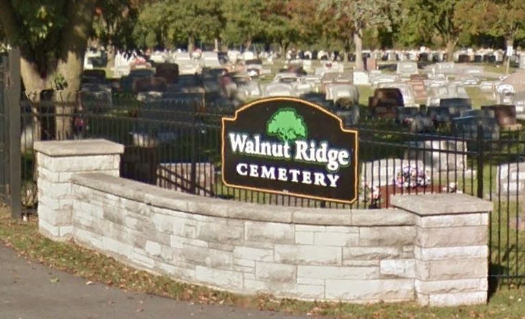
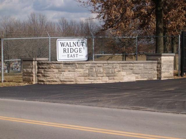
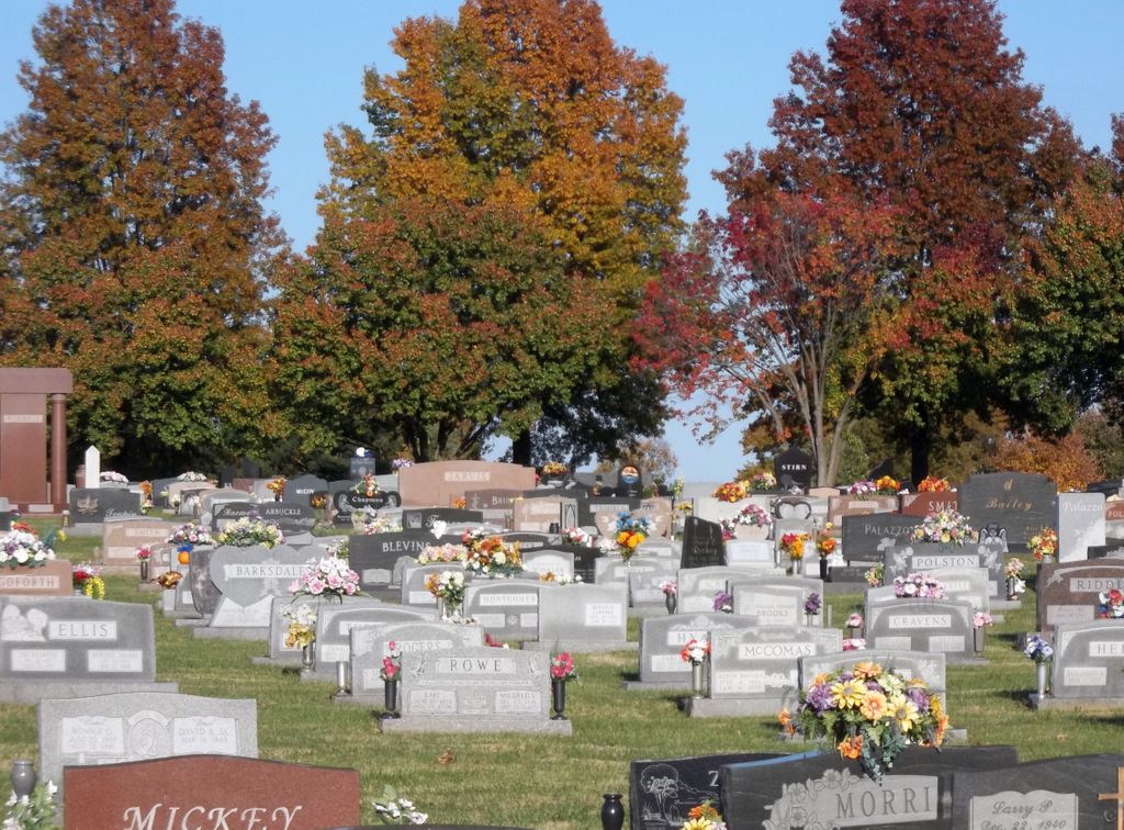
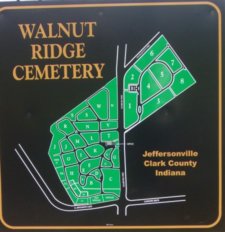
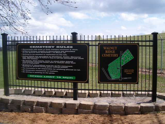
| Description | : | This active cemetery is located in Jeffersonville Township on both sides of Hamburg Pike at its intersection with E. Applegate Lane and Lakeside Drive. The cemetery is almost 100 acres in size. The oldest legible monument in the cemetery is dated 1817. The cemetery was incorporated as a nonprofit entity governed by a board of trustees in 1838. The cemetery is listed in the Cemetery and Burial Grounds Registry of the Indiana Department of Natural Resources (DNR) and in the State Historical Architectural and Archaeological Research Database (SHAARD) with Cemetery Record Number CR-10-65 (Walnut Ridge). The U.S. Geological... Read More |
frequently asked questions (FAQ):
-
Where is Walnut Ridge Cemetery?
Walnut Ridge Cemetery is located at 2421 Hamburg Pike Jeffersonville, Clark County ,Indiana , 47130-6710USA.
-
Walnut Ridge Cemetery cemetery's updated grave count on graveviews.com?
6 memorials
-
Where are the coordinates of the Walnut Ridge Cemetery?
Latitude: 38.3025017
Longitude: -85.7466965
Nearby Cemetories:
1. Applegate Family Cemetery
Clarksville, Clark County, USA
Coordinate: 38.3100200, -85.7578400
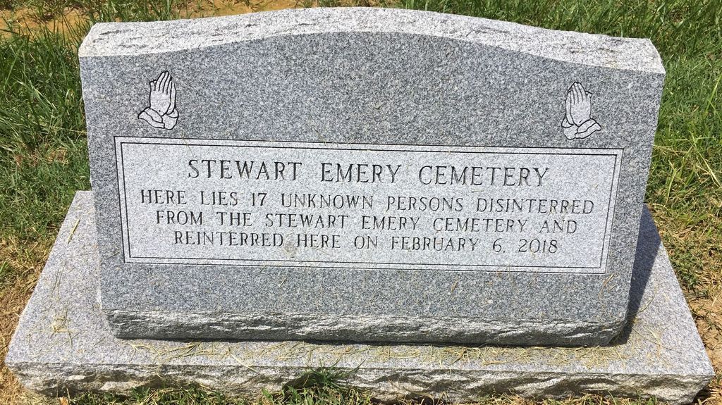
2. Stewart-Emery Cemetery
Clarksville, Clark County, USA
Coordinate: 38.3120000, -85.7701310
3. Saint Anthony Cemetery
Jeffersonville, Clark County, USA
Coordinate: 38.2844009, -85.7281036
4. Eastern Cemetery
Jeffersonville, Clark County, USA
Coordinate: 38.2832985, -85.7292023
5. Civil War Cemetery #3
Jeffersonville, Clark County, USA
Coordinate: 38.2848790, -85.7217790
6. Reformatory Cemetery
Clarksville, Clark County, USA
Coordinate: 38.2744460, -85.7544820
7. Civil War Cemetery #2
Jeffersonville, Clark County, USA
Coordinate: 38.2818400, -85.7206700
8. Hale - McBride Family Cemetery
Clarksville, Clark County, USA
Coordinate: 38.3186000, -85.7786000
9. Grayson-Long Cemetery
Clark County, USA
Coordinate: 38.3147011, -85.7834015
10. Old City Cemetery
Jeffersonville, Clark County, USA
Coordinate: 38.2706220, -85.7429770
11. Civil War Cemetery
Jeffersonville, Clark County, USA
Coordinate: 38.2705400, -85.7436300
12. David McBride Cemetery
Clarksville, Clark County, USA
Coordinate: 38.3241880, -85.7776800
13. Espy Cemetery
Clark County, USA
Coordinate: 38.3276863, -85.7010498
14. Ohio Valley Pet Cemetery
Sellersburg, Clark County, USA
Coordinate: 38.3456540, -85.7357970
15. Jones Burying Ground
New Albany, Floyd County, USA
Coordinate: 38.2938000, -85.8039000
16. Kraft-Graceland Memorial Park
New Albany, Floyd County, USA
Coordinate: 38.3244019, -85.7983017
17. New Albany National Cemetery
New Albany, Floyd County, USA
Coordinate: 38.3003006, -85.8058014
18. Fort Nelson Burial Ground
Louisville, Jefferson County, USA
Coordinate: 38.2575100, -85.7616140
19. Adams Family Cemetery (Defunct)
Jeffersonville, Clark County, USA
Coordinate: 38.3150300, -85.6887200
20. Good Shepherd Convent Cemetery
Louisville, Jefferson County, USA
Coordinate: 38.2682070, -85.7881810
21. McClintick-Sylvester Cemetery
Jeffersonville, Clark County, USA
Coordinate: 38.3497505, -85.7305832
22. Saint Mary's Catholic Cemetery
New Albany, Floyd County, USA
Coordinate: 38.3045502, -85.8113632
23. Cathedral of the Assumption
Louisville, Jefferson County, USA
Coordinate: 38.2525680, -85.7588370
24. Fairmeade Cemetery
New Albany Township, Floyd County, USA
Coordinate: 38.3460900, -85.7868630