| Memorials | : | 4 |
| Location | : | Jeffersonville, Clark County, USA |
| Phone | : | 502-639-4385 |
| Coordinate | : | 38.2832985, -85.7292023 |
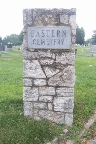
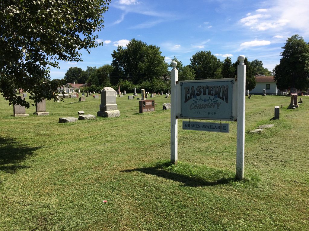
| Description | : | The cemetery is bounded by E. 8th street, Graham Street, and Main Street, exclusive of Saint Anthony Cemetery which occupies the corner south of the intersection of E. 8th Street and Main Street. The entrance to this cemetery is off the northeast side of Graham Street. There is no physical boundary between Eastern Cemetery and Saint Anthony Cemetery, which has its entrances off E. 8th Street. The cemetery was opened in 1849 and was originally known as the Chestnut Grove Cemetery. Indiana Cemetery Locations, Volume 4, published by the Indiana Genealogical Society (April 2009), gives the... Read More |
frequently asked questions (FAQ):
-
Where is Eastern Cemetery?
Eastern Cemetery is located at 752 Graham Street Jeffersonville, Clark County ,Indiana , 47130USA.
-
Eastern Cemetery cemetery's updated grave count on graveviews.com?
1 memorials
-
Where are the coordinates of the Eastern Cemetery?
Latitude: 38.2832985
Longitude: -85.7292023
Nearby Cemetories:
1. Saint Anthony Cemetery
Jeffersonville, Clark County, USA
Coordinate: 38.2844009, -85.7281036
2. Civil War Cemetery #3
Jeffersonville, Clark County, USA
Coordinate: 38.2848790, -85.7217790
3. Civil War Cemetery #2
Jeffersonville, Clark County, USA
Coordinate: 38.2818400, -85.7206700
4. Old City Cemetery
Jeffersonville, Clark County, USA
Coordinate: 38.2706220, -85.7429770
5. Civil War Cemetery
Jeffersonville, Clark County, USA
Coordinate: 38.2705400, -85.7436300
6. Reformatory Cemetery
Clarksville, Clark County, USA
Coordinate: 38.2744460, -85.7544820
7. Walnut Ridge Cemetery
Jeffersonville, Clark County, USA
Coordinate: 38.3025017, -85.7466965
8. Applegate Family Cemetery
Clarksville, Clark County, USA
Coordinate: 38.3100200, -85.7578400
9. Cave Hill National Cemetery
Louisville, Jefferson County, USA
Coordinate: 38.2483800, -85.7196000
10. Fort Nelson Burial Ground
Louisville, Jefferson County, USA
Coordinate: 38.2575100, -85.7616140
11. Eastern Cemetery
Louisville, Jefferson County, USA
Coordinate: 38.2470500, -85.7249100
12. Hackberry Cemetery
Louisville, Jefferson County, USA
Coordinate: 38.2514500, -85.7032170
13. Cathedral of the Assumption
Louisville, Jefferson County, USA
Coordinate: 38.2525680, -85.7588370
14. Cave Hill Cemetery
Louisville, Jefferson County, USA
Coordinate: 38.2453600, -85.7146400
15. Stewart-Emery Cemetery
Clarksville, Clark County, USA
Coordinate: 38.3120000, -85.7701310
16. Adams Family Cemetery (Defunct)
Jeffersonville, Clark County, USA
Coordinate: 38.3150300, -85.6887200
17. First Unitarian Memorial Garden
Louisville, Jefferson County, USA
Coordinate: 38.2437920, -85.7583330
18. Calvary Episcopal Church Burial Grounds
Louisville, Jefferson County, USA
Coordinate: 38.2437866, -85.7593283
19. Good Shepherd Convent Cemetery
Louisville, Jefferson County, USA
Coordinate: 38.2682070, -85.7881810
20. Espy Cemetery
Clark County, USA
Coordinate: 38.3276863, -85.7010498
21. Hale - McBride Family Cemetery
Clarksville, Clark County, USA
Coordinate: 38.3186000, -85.7786000
22. Grayson-Long Cemetery
Clark County, USA
Coordinate: 38.3147011, -85.7834015
23. Fort George Cemetery
Louisville, Jefferson County, USA
Coordinate: 38.2320530, -85.7522260
24. David McBride Cemetery
Clarksville, Clark County, USA
Coordinate: 38.3241880, -85.7776800


