
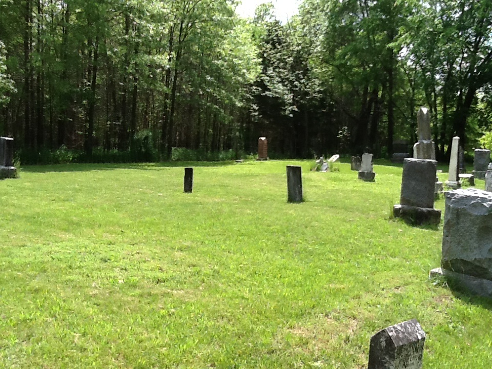
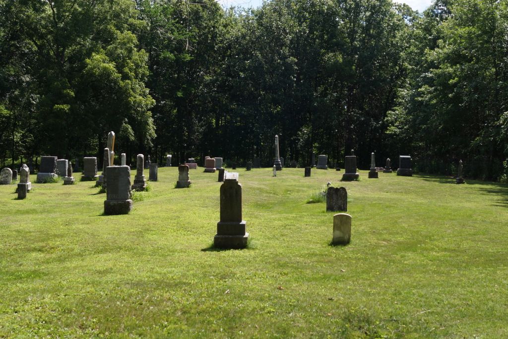
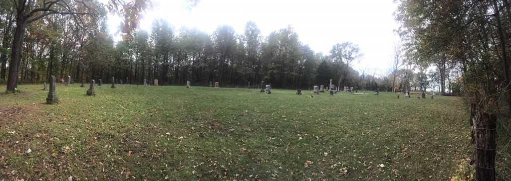
| Memorials | : | 2 |
| Location | : | Farmersville, Livingston County, USA |
| Coordinate | : | 39.9324989, -93.5251999 |
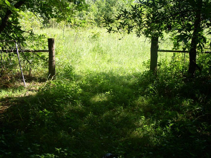
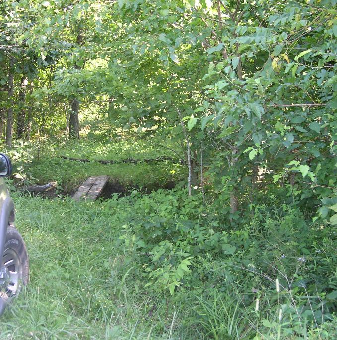
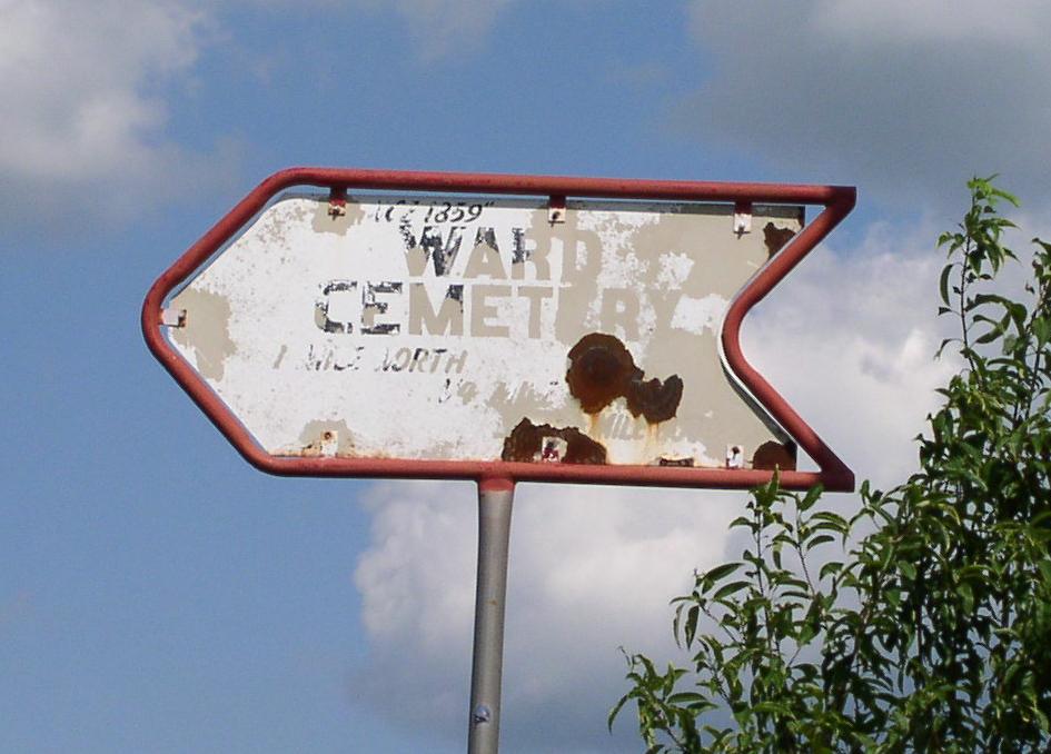
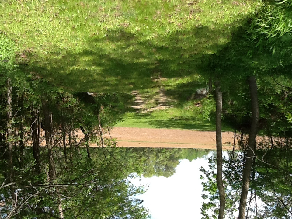
| Description | : | One set of directions: Ward Cemetery - This cemetery is located in Section 18, Township 59, Range 23 of Cream Ridge Township in Livingston County, Missouri. It is located just eight miles North of Chillicothe on Hwy 65, then East 3/4 mile along Route K, then North one mile, then East 1/2, then South 1/4 mile at end of field.. It is fenced but not maintained. A second set: North on 65 out of Chillicothe, go east (right) on Route K. Follow this for about 3/4 mile. Go across the bridge and just past the bridge is road #245 (which... Read More |
frequently asked questions (FAQ):
-
Where is Ward Cemetery?
Ward Cemetery is located at Farmersville, Livingston County ,Missouri ,USA.
-
Ward Cemetery cemetery's updated grave count on graveviews.com?
2 memorials
-
Where are the coordinates of the Ward Cemetery?
Latitude: 39.9324989
Longitude: -93.5251999

Nearby Cemetories:
1. May Cemetery
Cream Ridge, Livingston County, USA
Coordinate: 39.9077100, -93.5124500
2. Plainview Cemetery
Chula, Livingston County, USA
Coordinate: 39.9291992, -93.4744034
3. Tolle Cemetery
Grundy County, USA
Coordinate: 39.9707000, -93.5798700
4. Stucker Cemetery
Grundy County, USA
Coordinate: 39.9939003, -93.4783020
5. Wallace Cemetery
Chula, Livingston County, USA
Coordinate: 39.9319000, -93.4257965
6. Ricket Cemetery
Chula, Livingston County, USA
Coordinate: 39.8800011, -93.4289017
7. Alpha Cemetery
Alpha, Grundy County, USA
Coordinate: 39.9834500, -93.4181100
8. Shelburne Cemetery
Jefferson Township, Grundy County, USA
Coordinate: 39.9651300, -93.6480300
9. Ross Cemetery
Chillicothe, Livingston County, USA
Coordinate: 39.8428001, -93.4649963
10. Resthaven Memorial Gardens
Chillicothe, Livingston County, USA
Coordinate: 39.8308900, -93.5457100
11. Brooks Cemetery
Marion Township, Grundy County, USA
Coordinate: 40.0353500, -93.4983500
12. Leopolis Cemetery
Livingston County, USA
Coordinate: 39.8646890, -93.4205510
13. Anderson-Smith Cemetery
Chillicothe, Livingston County, USA
Coordinate: 39.8352500, -93.5828600
14. Coy Cemetery
Livingston County, USA
Coordinate: 39.9615200, -93.6600500
15. Redenbaugh Cemetery
Grundy County, USA
Coordinate: 40.0395100, -93.5393900
16. Spring Hill Cemetery
Livingston County, USA
Coordinate: 39.8790700, -93.6487300
17. Richardson Cemetery
Laredo, Grundy County, USA
Coordinate: 40.0231018, -93.4349976
18. Van Horne Cemetery
Livingston County, USA
Coordinate: 39.9528008, -93.3685989
19. Hutchison Cemetery
Chillicothe, Livingston County, USA
Coordinate: 39.9261690, -93.6842700
20. Dockery Cemetery
Livingston County, USA
Coordinate: 39.9323000, -93.6851900
21. Mount Pleasant Cemetery
Chillicothe, Livingston County, USA
Coordinate: 39.8592600, -93.6576900
22. Lilly Grove Cemetery
Livingston County, USA
Coordinate: 39.9221200, -93.6886200
23. Forest Park Cemetery
Chillicothe, Livingston County, USA
Coordinate: 39.8073800, -93.5575800
24. Pleasant Hill Cemetery
Laredo, Grundy County, USA
Coordinate: 40.0473400, -93.4524600