
| Memorials | : | 0 |
| Location | : | Chillicothe, Livingston County, USA |
| Coordinate | : | 39.8073800, -93.5575800 |
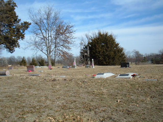
| Description | : | The cemetery is actually in the south west corner of Simpson Park off Country Club Drive and Simpson Park Road. It's behind the swimming pool. The cemetery is not marked with a sign. |
frequently asked questions (FAQ):
-
Where is Forest Park Cemetery?
Forest Park Cemetery is located at Chillicothe, Livingston County ,Missouri ,USA.
-
Forest Park Cemetery cemetery's updated grave count on graveviews.com?
0 memorials
-
Where are the coordinates of the Forest Park Cemetery?
Latitude: 39.8073800
Longitude: -93.5575800
Nearby Cemetories:
1. Edgewood Cemetery
Chillicothe, Livingston County, USA
Coordinate: 39.8000717, -93.5647049
2. Kessler Cemetery
Livingston County, USA
Coordinate: 39.7972069, -93.5480000
3. Saint Columban Catholic Cemetery
Chillicothe, Livingston County, USA
Coordinate: 39.8043700, -93.5361870
4. A.M.E. Church Cemetery
Chillicothe, Livingston County, USA
Coordinate: 39.8036500, -93.5330400
5. Resthaven Memorial Gardens
Chillicothe, Livingston County, USA
Coordinate: 39.8308900, -93.5457100
6. Anderson-Smith Cemetery
Chillicothe, Livingston County, USA
Coordinate: 39.8352500, -93.5828600
7. Mount Zion Church Cemetery
Chillicothe, Livingston County, USA
Coordinate: 39.7676100, -93.5389100
8. Jones Cemetery
Chillicothe, Livingston County, USA
Coordinate: 39.7982800, -93.5009700
9. Ross Cemetery
Chillicothe, Livingston County, USA
Coordinate: 39.8428001, -93.4649963
10. Mount Olive Cemetery
Chillicothe, Livingston County, USA
Coordinate: 39.8245560, -93.6696050
11. Mount Pleasant Cemetery
Chillicothe, Livingston County, USA
Coordinate: 39.8592600, -93.6576900
12. Utica Cemetery
Utica, Livingston County, USA
Coordinate: 39.7366819, -93.6361158
13. Curtis Cemetery
Livingston County, USA
Coordinate: 39.8399140, -93.6710210
14. Spring Hill Cemetery
Livingston County, USA
Coordinate: 39.8790700, -93.6487300
15. May Cemetery
Cream Ridge, Livingston County, USA
Coordinate: 39.9077100, -93.5124500
16. Christison Cemetery
Blue Mound, Livingston County, USA
Coordinate: 39.6981400, -93.5751200
17. Rucker Burial
Mooresville, Livingston County, USA
Coordinate: 39.7477385, -93.6874804
18. Pleasant Ridge Cemetery
Chillicothe, Livingston County, USA
Coordinate: 39.8293100, -93.7104700
19. Leopolis Cemetery
Livingston County, USA
Coordinate: 39.8646890, -93.4205510
20. Gibbons Cemetery
Sampsel, Livingston County, USA
Coordinate: 39.8283130, -93.7120060
21. Ricket Cemetery
Chula, Livingston County, USA
Coordinate: 39.8800011, -93.4289017
22. Burnside Cemetery
Chillicothe, Livingston County, USA
Coordinate: 39.7036018, -93.4708023
23. Ward Cemetery
Farmersville, Livingston County, USA
Coordinate: 39.9324989, -93.5251999
24. Wheeling Cemetery
Wheeling, Livingston County, USA
Coordinate: 39.7775110, -93.3888920