
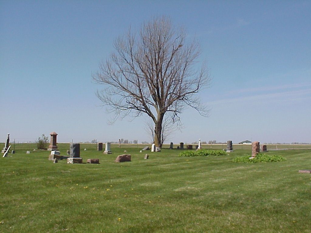
| Memorials | : | 4 |
| Location | : | Livingston County, USA |
| Coordinate | : | 39.8790700, -93.6487300 |
frequently asked questions (FAQ):
-
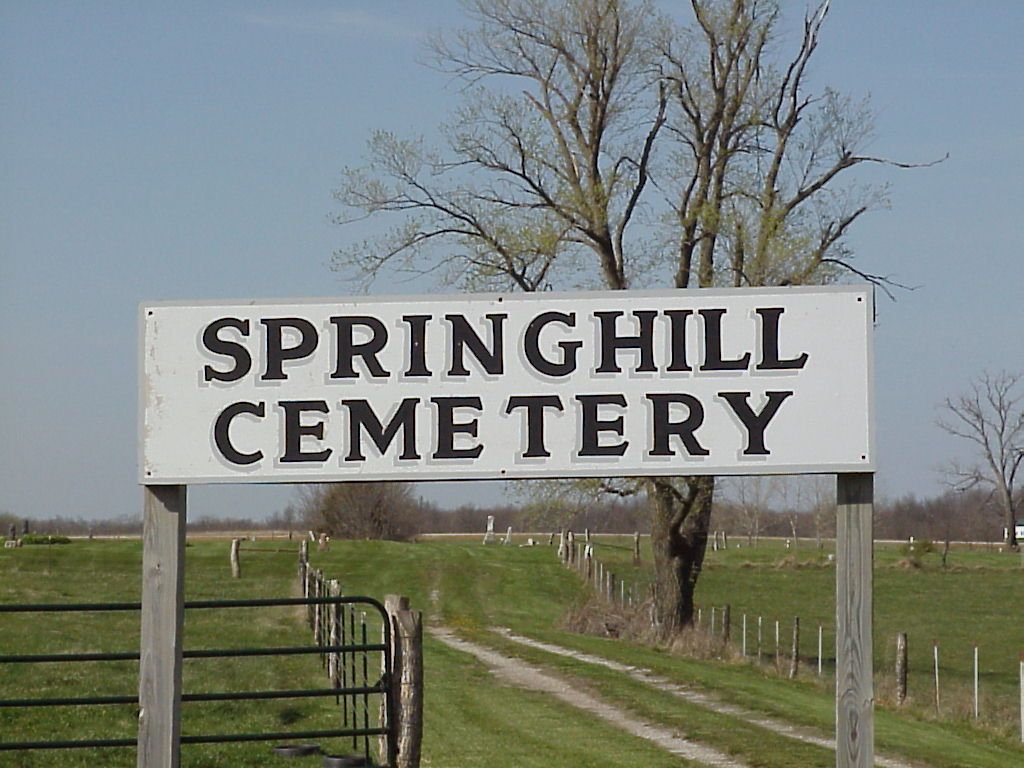
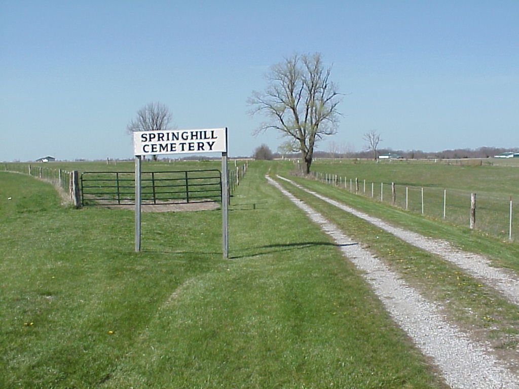
Where is Spring Hill Cemetery?
Spring Hill Cemetery is located at Livingston County ,Missouri ,USA.
-
Spring Hill Cemetery cemetery's updated grave count on graveviews.com?
4 memorials
-
Where are the coordinates of the Spring Hill Cemetery?
Latitude: 39.8790700
Longitude: -93.6487300
Nearby Cemetories:
1. Mount Pleasant Cemetery
Chillicothe, Livingston County, USA
Coordinate: 39.8592600, -93.6576900
2. Curtis Cemetery
Livingston County, USA
Coordinate: 39.8399140, -93.6710210
3. Lilly Grove Cemetery
Livingston County, USA
Coordinate: 39.9221200, -93.6886200
4. Hutchison Cemetery
Chillicothe, Livingston County, USA
Coordinate: 39.9261690, -93.6842700
5. Mount Olive Cemetery
Chillicothe, Livingston County, USA
Coordinate: 39.8245560, -93.6696050
6. Dockery Cemetery
Livingston County, USA
Coordinate: 39.9323000, -93.6851900
7. Anderson-Smith Cemetery
Chillicothe, Livingston County, USA
Coordinate: 39.8352500, -93.5828600
8. Pleasant Ridge Cemetery
Chillicothe, Livingston County, USA
Coordinate: 39.8293100, -93.7104700
9. Gibbons Cemetery
Sampsel, Livingston County, USA
Coordinate: 39.8283130, -93.7120060
10. Coy Cemetery
Livingston County, USA
Coordinate: 39.9615200, -93.6600500
11. Snidow Cemetery
Chillicothe, Livingston County, USA
Coordinate: 39.9385200, -93.7246200
12. Shelburne Cemetery
Jefferson Township, Grundy County, USA
Coordinate: 39.9651300, -93.6480300
13. Resthaven Memorial Gardens
Chillicothe, Livingston County, USA
Coordinate: 39.8308900, -93.5457100
14. Forest Park Cemetery
Chillicothe, Livingston County, USA
Coordinate: 39.8073800, -93.5575800
15. Edgewood Cemetery
Chillicothe, Livingston County, USA
Coordinate: 39.8000717, -93.5647049
16. Lock Springs Cemetery
Lock Springs, Daviess County, USA
Coordinate: 39.8529333, -93.7772167
17. Thompson Family Cemetery
Grundy County, USA
Coordinate: 39.9686500, -93.7181400
18. Tolle Cemetery
Grundy County, USA
Coordinate: 39.9707000, -93.5798700
19. Clear Creek Cemetery
Lock Springs, Daviess County, USA
Coordinate: 39.8862050, -93.7892800
20. May Cemetery
Cream Ridge, Livingston County, USA
Coordinate: 39.9077100, -93.5124500
21. Ward Cemetery
Farmersville, Livingston County, USA
Coordinate: 39.9324989, -93.5251999
22. Matt Green Cemetery
Grundy County, USA
Coordinate: 39.9866600, -93.6871100
23. Kessler Cemetery
Livingston County, USA
Coordinate: 39.7972069, -93.5480000
24. Saint Columban Catholic Cemetery
Chillicothe, Livingston County, USA
Coordinate: 39.8043700, -93.5361870