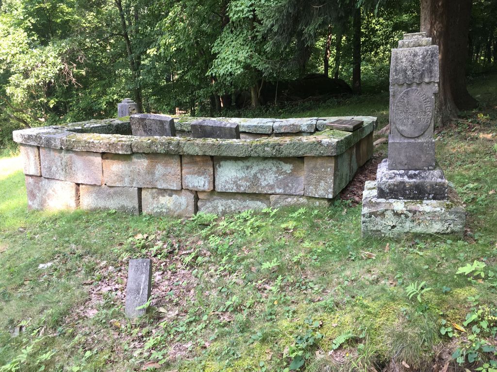
| Memorials | : | 14 |
| Location | : | Metham, Coshocton County, USA |
| Coordinate | : | 40.3505580, -81.9470740 |
| Description | : | The cemetery is located on the east side of County Road 24 about 1 mile north of its intersection with Township Road 29. The cemetery is located in Bethlehem Township, Coshocton County, Ohio, and is # 2202 (Waring Cemetery) in “Ohio Cemeteries 1803-2003”, compiled by the Ohio Genealogical Society. |
frequently asked questions (FAQ):
-
Where is Waring Cemetery?
Waring Cemetery is located at County Road 24 Metham, Coshocton County ,Ohio , 43844USA.
-
Waring Cemetery cemetery's updated grave count on graveviews.com?
0 memorials
-
Where are the coordinates of the Waring Cemetery?
Latitude: 40.3505580
Longitude: -81.9470740
Nearby Cemetories:
1. Mount Zion Methodist Church Cemetery
Metham, Coshocton County, USA
Coordinate: 40.3559580, -81.9522140
2. Casebeer Cemetery
Metham, Coshocton County, USA
Coordinate: 40.3629220, -81.9360840
3. Dutch Meeting House Cemetery
Warsaw, Coshocton County, USA
Coordinate: 40.3796207, -81.9459337
4. Bateman Cemetery
Warsaw, Coshocton County, USA
Coordinate: 40.3483840, -81.9876370
5. Machpelahs Burial Acres
Keene, Coshocton County, USA
Coordinate: 40.3208950, -81.9126210
6. Bible Cemetery
Keene, Coshocton County, USA
Coordinate: 40.3330380, -81.8990940
7. Bucklew Cemetery
Metham, Coshocton County, USA
Coordinate: 40.3849983, -81.9858017
8. Blissfield Cemetery
Blissfield, Coshocton County, USA
Coordinate: 40.3927994, -81.9728012
9. Weatherwax Cemetery
Clark, Coshocton County, USA
Coordinate: 40.3839560, -81.9918080
10. Prairie Chapel Church Cemetery
Coshocton, Coshocton County, USA
Coordinate: 40.3049000, -81.9124000
11. Fox Cemetery
Blissfield, Coshocton County, USA
Coordinate: 40.4035988, -81.9424973
12. Bethel Cemetery
Warsaw, Coshocton County, USA
Coordinate: 40.3615800, -82.0165150
13. Blooming Grove Cemetery
Randle, Coshocton County, USA
Coordinate: 40.3017006, -81.9843979
14. Valley View Cemetery
Warsaw, Coshocton County, USA
Coordinate: 40.3255997, -82.0139008
15. Saint Elizabeth Mission Cemetery
Spring Mountain, Coshocton County, USA
Coordinate: 40.3817900, -82.0108300
16. Antioch Cemetery
Coshocton County, USA
Coordinate: 40.3046989, -81.9933014
17. Keene Old Presbyterian Church Cemetery
Coshocton County, USA
Coordinate: 40.3480700, -81.8707900
18. Jefferson Presbyterian Cemetery
Warsaw, Coshocton County, USA
Coordinate: 40.3200690, -82.0165291
19. Keene Methodist Cemetery
Keene, Coshocton County, USA
Coordinate: 40.3431800, -81.8662500
20. Clark Township Baptist Church Cemetery
Clark, Coshocton County, USA
Coordinate: 40.4126680, -81.9229260
21. Darling Run Cemetery
Nellie, Coshocton County, USA
Coordinate: 40.3436012, -82.0505981
22. Foster-Lowary-McCullough Cemetery
Coshocton County, USA
Coordinate: 40.2708400, -81.9761450
23. Roscoe Cemetery
Coshocton, Coshocton County, USA
Coordinate: 40.2821000, -81.8841000
24. Pleasant Hill Cemetery
Coshocton County, USA
Coordinate: 40.4225006, -82.0038986

